
Cyclists.com

Al Sufouh to Deira via Burj Khalifa

46 km road cycling route11 m climbing2–3 hoursGPX

Dubai, United Arab Emirates · Road

A flat 46 km road cycling route from Al Sufouh to Deira via Burj Khalifa through Al Sufouh 2, Umm Suqeim and Jumeirah 2, with 11 m of climbing.
Route contributed by Marcus · Created from a ride on Saturday 17th December 2022

Download GPXMap

At a glance

Best for
Flat, steady riding
Distance
46.2 km
Point to point
Elevation gain
11 m
Riding time
2–3 hours
moving time, estimated
Difficulty
Easy
Bike
Road bike
from the mapped surface
Surface
Paved
88% paved · 0% unpaved · 12% no data
Traffic
Mostly minor roads
7.1 km on main roads without a cycle lane · 7.3 km on cycle paths or lanes
Food & water
Regular
576 cafés and restaurants · 129 shops · 8 water points · 11 petrol stations · 35 public toilets · 25 bike shops
Best months
Dec to Feb
Dubai climate, 10 years
Navigation
GPX download
free, no sign-in
Start → finish
Al Sufouh → Deira via Burj Khalifa

Map and elevation profile

On the road: Al Sufouh to Deira via Burj Khalifa, Dubai

Elevation profile

Total ascent
11 m
Distance
46 km
-20020m0 km1020304046 km10 m · highest, at 26.8 kmStartFinish

Route description

  1. Al Sufouh
  2. Al Sufouh 2km 2
  3. Umm Suqeimkm 10
  4. Jumeirah 2km 16
  5. Za'abeel 2km 26
  6. Trade Centre 1km 31
  7. Dubai Maritime Citykm 37
  8. Al Souq Al Kabeerkm 43
  9. Al Cornichekm 45
  10. Deira via Burj Khalifakm 46

This 46.2 km point-to-point route starts in Al Thanyah 3 and heads through Dubai's varied districts including Al Sufouh, Umm Suqeim, Jumeirah, and Business Bay, finishing near Deira and Al Corniche. It is a flat ride with an elevation gain of 45 m and maximum height of 10 m at 26 km. The route has no climbs and is entirely flat.

The surfaces are 88% paved and 12% unmapped with no gravel sections. The road types include 23% minor roads, 21% quiet streets, 17% paths, 16% cycle paths, 16% main roads, 4% pedestrian areas, and 3% others. Main roads without cycle lanes account for 7.1 km, and cycle paths or lanes cover 7.3 km. Jumeira Street is the longest named road ridden at 3.4 km.

Facilities along the route include cafés such as Boon Coffee Roasters near the start at 2 km and Vanilla at 34.9 km, as well as several supermarkets. There is a 5.3 km stretch from 23.6 to 28.9 km with no café, shop, or water. Bailout points include Dubai Internet City station at 2.1 km and Al Ghubaiba ferry at 43.4 km.

Highlights

  • Boon Coffee Roasters café at 2 km
  • Jumeira Street ridden for 3.4 km
  • Maximum elevation 10 m at 26 km
  • Al Madina supermarket near finish

Along the route

Measured from the route line, the Copernicus elevation model and OpenStreetMap.

Places passed

  1. Al Sufouh 1 4.5 km
  2. Umm Suqeim 3 7.6 km
  3. Umm Suqeim 2 9.5 km
  4. Umm Suqeim 10.1 km
  5. Umm Suqeim 1 11.7 km
  6. Al Safa 12.6 km
  7. Jumeirah 3 13.9 km
  8. Jumeirah Island 2 15 km
  9. Jumeirah 2 16.3 km
  10. Al Safa 1 17.5 km
  11. Al Wasl 18.1 km
  12. Business Bay 19.4 km
  13. Burj Khalifa 21.7 km
  14. Za'abeel 2 26.4 km
  15. Zabeel 27.1 km
  16. Za’abeel 1 28.2 km
  17. Trade Centre 2 29.7 km
  18. Trade Centre 30.5 km
  19. Trade Centre 1 30.5 km
  20. Al Satwa 30.6 km
  21. Al Kifaf 33 km
  22. Al Jaffiliya 33.7 km
  23. Al Hudaiba 36.2 km
  24. Dubai Maritime City 36.6 km
  25. Al Raffa 37.8 km
  26. Al Ras 42.5 km
  27. Dubai 43.4 km
  28. Al Hamriya 43.4 km
  29. Al Souq Al Kabeer 43.4 km
  30. Al Shindagha 43.6 km

Traffic, surface and gradient

Measured from OpenStreetMap along the track and the elevation profile.

Mostly minor roads and streets on the map; 7.1 km is on main roads without a cycle lane.

Roads
23% minor road · 21% quiet street · 17% path · 16% cycle path · 23% other roads and tracks
Main roads
7.1 km on main roads without a cycle lane — likely busier
Cycle paths
7.3 km on cycle paths or roads with a cycle lane
Main roads used
Jumeira Street (3 km)
Surface
Paved: 88% of the route is mapped as paved and 12% has no surface data.
Gradient
0% climbing · 0% descending · 100% flat

Food, water and services

Within a few hundred metres of the track, from OpenStreetMap. Opening hours change — treat this as where to look, not a promise.

No stretch is longer than 15 km without a café, shop or water. Along the route: 576 cafés and restaurants, 129 shops, 8 water points, 11 petrol stations, 35 public toilets and 25 bike shops.

Food, water and shops in ride order

  1. 1.3 kmAl Maya · supermarket · 40 m off route
  2. 3.3 kmDubai College 2 · bike rental · 390 m off route
  3. 8.3 kmArtisan Bakers · café · 30 m off route
  4. 9.5 kmAl Gazal Alajabali Grocery · supermarket · 50 m off route
  5. 12.1 kmEmarat · petrol station · on the route
  6. 14.1 kmToilets · 40 m off route
  7. 17.1 kmCareem Bike · bike rental · on the route
  8. 20.6 kmSpinneys · supermarket · 70 m off route
  9. 21.8 kmToilets · on the route
  10. 23.1 kmDish Dash · café · 50 m off route
  11. 28.9 kmCaffè Nero · café · 50 m off route
  12. 34.3 kmToilets · 220 m off route
  13. 34.9 kmVanilla · café · on the route
  14. 36 kmQuality Supermarket · supermarket · on the route
  15. 39.9 kmToilets · 170 m off route
  16. 43.3 kmtalabat refill station · drinking water · 130 m off route
  17. 43.6 kmEmarat · petrol station · 170 m off route
  18. 44.1 kmBike rental · on the route

Need to bail out?

  • 2.1 kmDubai Internet City (station), 500 m off route
  • 16.5 kmJumeirah Marine Transport Station (ferry), 100 m off route
  • 23.3 kmAl Wajeha Al Maeyah MTS (ferry), 760 m off route
  • 30.6 kmEmirates Towers (station), 230 m off route
  • 43.4 kmAl Ghubaiba (ferry), 40 m off route

Whether bikes are carried depends on the service — check before relying on it.

Worth a stop

  • 2.1 kmARN Arabian Radio Network (viewpoint)
  • 6.3 kmGolden Horses (monument)
  • 10.2 kmUmm Suqeim Night Swimming Beach (attraction)
  • 14 kmJumeirah Beach (attraction)
  • 22.3 kmFountain Watching Hill (viewpoint)
  • 35.1 kmBoat Model (monument)

Stay after this ride

  • Ibis Styles Dubai Deira · hotel · 210 m from the finish
  • Golden Star Hotel · hotel · 530 m from the finish
  • Juba Hotel · hotel · 400 m from the finish
  • Wyndham Dubai Deira · hotel · 400 m from the finish
  • Grand Hotel · hotel · 430 m from the finish

Start and access

Starts at The Greens. Mapped within a short walk of the start and finish, from OpenStreetMap.

At the start

Food and coffee
Caribou (340 m), Nando's (460 m), 25- Degrees North (700 m)
Shops
Asswaq (270 m), Bluemart Supermarket (700 m)

At the finish

Food and coffee
DFC (380 m), Sharda Vegetarian Restaurant (310 m), Al Kahf Cafeteria (400 m)
Shops
Al Madina (60 m), Nareez jewellery (380 m)

Know before you go

  • 5.3 km without café, shop or water between km 23.6 and 28.9
  • 7.1 km on main roads without cycle lanes

Routes are for inspiration. Roads, surfaces and conditions change — check locally and ride within your limits.

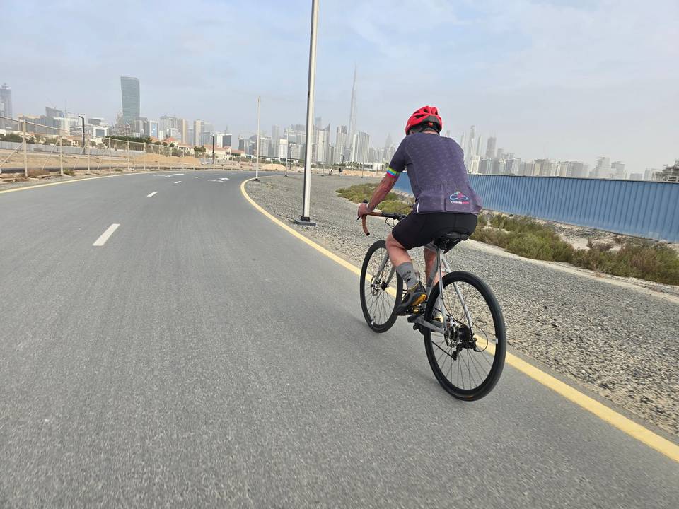
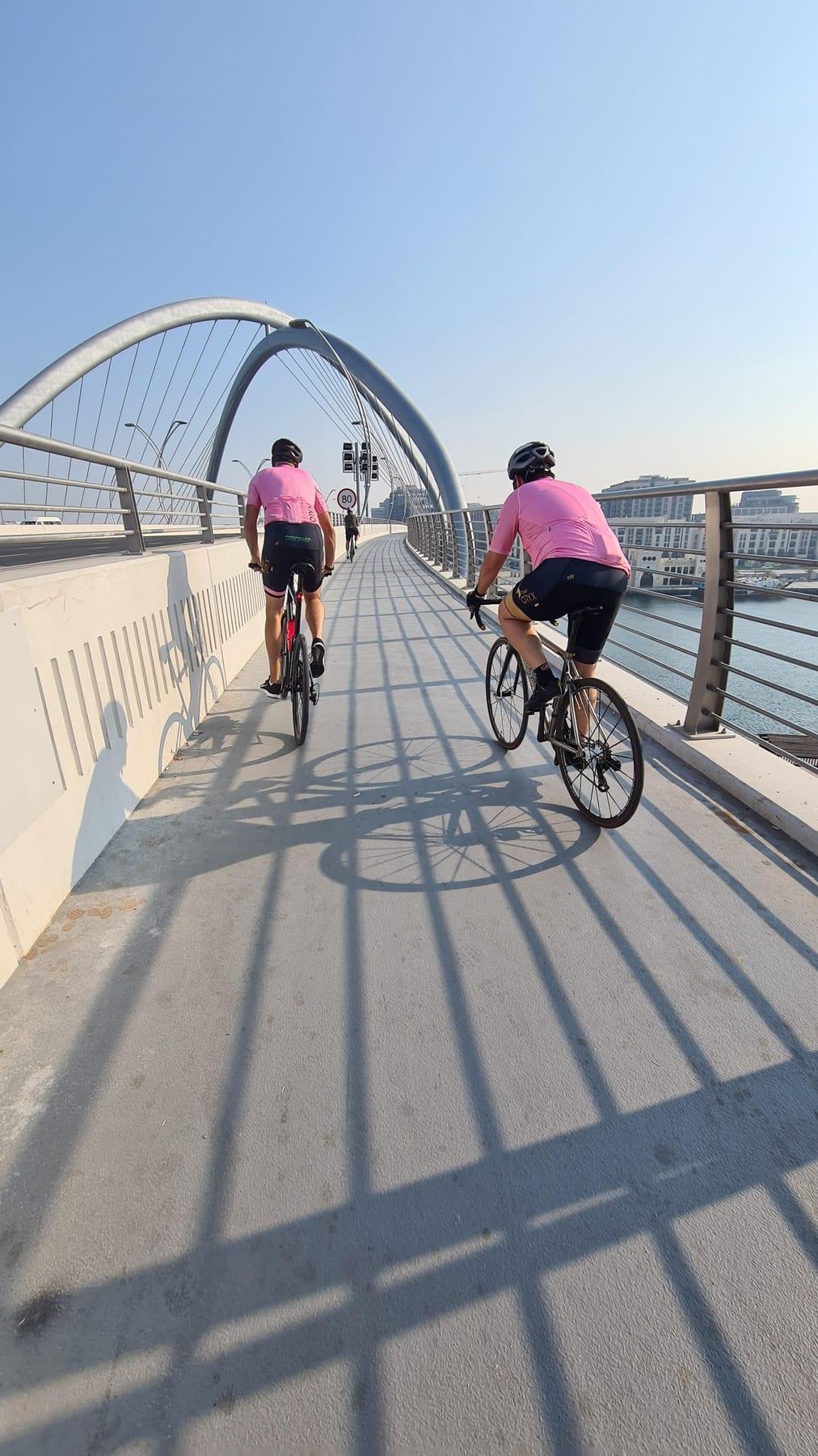
12 photographs from the road

About this route

Ridden by
Marcus
Date ridden
Route line
Built from a GPS recording of the ride.
Elevation
Recalculated from the Copernicus GLO-90 terrain model every 50 m, not the device’s barometer.
Roads, surface, services
Measured along the line from OpenStreetMap extracts.
Best months
Ten years of ERA5 weather for Dubai (Open-Meteo).
GPX
Generated from the route line: track points only, no timestamps or personal data.
Page added
Page last updated

See something wrong with this ride?

Similar length from Dubai

More climbing