Road · United Arab Emirates
Flamingo Lagoon Loop via the Canal Walk
- 53 km
- 14 m
- Easy
- Paved

Elevation profile
- 14 m
- 53 km
Route overview
Suitable for riders looking for a flat, moderate distance 52.7 km loop with minimal climbing.
52.7 km loop ride in Dubai with 42 m elevation gain on mixed surfaces and roads.
Starting at Al Thanyah 1 near Dubai, the route heads through Al Thanyah 3, Al Sufouh 2, and Umm Suqeim 2 before reaching Jumeirah Island 2 at 15.9 km. It then continues to Burj Khalifa and Za'abeel 2, dropping to a low point of -5 m at 28.7 km. The highest point at 9 m occurs near 6.1 km. The ride includes 31.2 km on cycle paths and lanes, 9.3 km on other paths, and smaller shares on quiet streets, main roads, minor roads, and a short motorway section. The route follows Canal Walk for 15 km. Surface is mainly paved with 83%, 2% gravel or unpaved, and 16% unmapped. The profile is mostly flat with 99% flat terrain and only 1% climbing and descending, with no climbs exceeding 5% gradient. The steepest 500 m section is 1.3% gradient at 34.6 km. Cafés, shops, water points, toilets, bike rental and petrol stations are available regularly, with the longest stretch without amenities being 3.7 km between 3.3 and 7 km. Bailout points include stations and ferry access.
Highlights
- Flamingo Lagoon Wildlife Sanctuary near 27 km
- Burj Khalifa area at 21.3 km
- Jumeirah Beach at 14.9 km
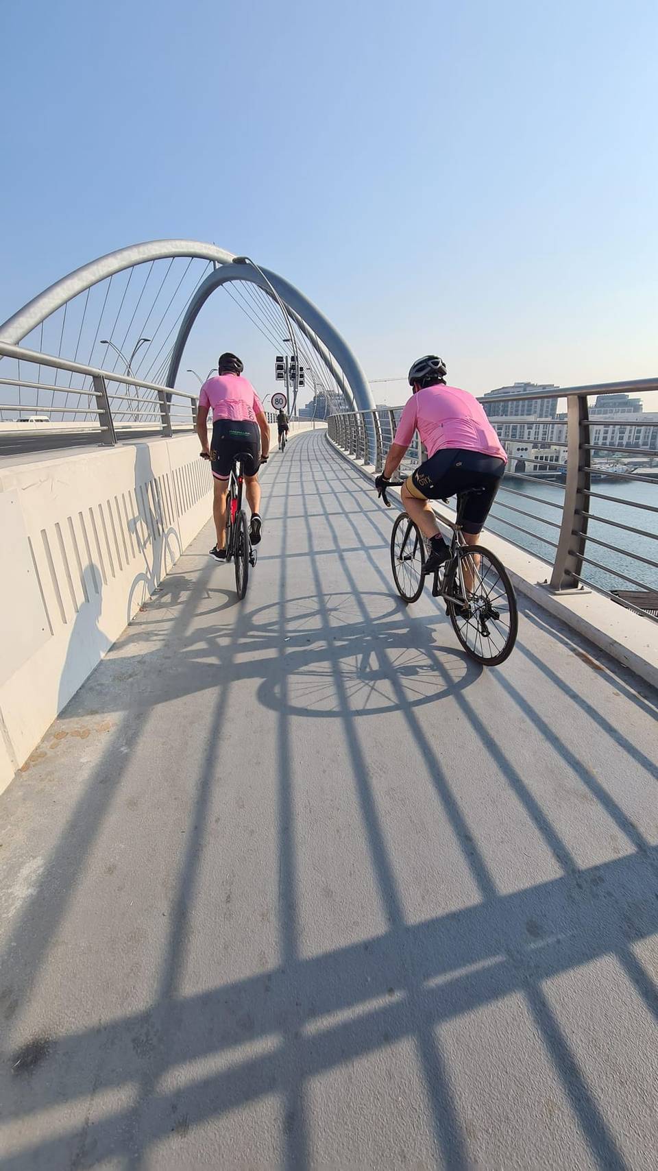
- Canal Walk for 15 km
Along the route
Places passed
What this ride is like
- Roads
- 60% cycle path · 18% path · 13% quiet street · 5% main road
- Main roads
- 3.4 km on main roads without a cycle lane — likely busier
- Cycle paths
- 31.2 km on cycle paths or roads with a cycle lane
- Main roads used
- Canal Walk (15 km)
- Surface
- 83% paved · 2% gravel or unpaved · 16% unmapped
- Gradient
- 1% climbing · 1% descending · 99% flat
Along the way
Food, water and shops
- 2.3 kmBoon Coffee Roasters · café · 90 m off route
- 3.1 kmCircle K · supermarket · 100 m off route
- 8.8 kmMed Art Clinic Day Surgery Centre · clinic · 110 m off route
- 9.9 kmToilets · 30 m off route
- 12.9 kmEmarat · petrol station · on the route
- 13.5 kmBW Cafe · café · on the route
- 18.6 kmCareem Bike · bike rental · on the route
- 21.6 kmLife Pharmacy · pharmacy · 60 m off route
- 22.8 kmToilets · on the route
- 26.8 kmAbukadra Cafe · café · 120 m off route
- 26.8 kmToilets · on the route
- 31.8 kmS'wich · café · 290 m off route
- 34.8 kmGolden Villas · bike rental · 130 m off route
- 36.8 kmEternal Poly Clinic · clinic · 30 m off route
- 39.9 kmWater tap · on the route
- 43.9 kmSingle Fin Cafe · café · 110 m off route
- 44.1 kmToiletten · toilets · 40 m off route
- 51 kmHive Board Game Café · café · 90 m off route
Need to bail out?
- 3.3 km — Palm Gateway (station), 710 m off route
- 20.9 km — Marasi MTS (ferry), 30 m off route
- 29.2 km — Dubai Design District MTS (ferry), on the route
- 36.9 km — Dubai Canal (ferry), 350 m off route
- 47.4 km — InsuranceMarket (station), 1.5 km off route
Worth a stop
- 2.5 km — ARN Arabian Radio Network (viewpoint)
- 11 km — Umm Suqeim Night Swimming Beach (attraction)
- 14.9 km — Jumeirah Beach (attraction)
- 26.8 km — Wildlife Sanctuary (Flamingo Lagoon) (viewpoint)
- 49.1 km — Al Sufouh Archaeological Site (archaeological site)
At the start and finish
- Caribou · café · 150 m
- Bluemart Supermarket · supermarket · 280 m
- Nando's · restaurant · 130 m
- Hive Board Game Café · café · 510 m
- 25- Degrees North · restaurant · 270 m
Practical information
- Paved
- Loop
- 2–3 hours riding
- August with temperatures around 33°C.
- Dec to Feb — daily highs of 25–27 °C in those months
Know before you go
- 3.4 km on main roads without cycle lane
- A short 0.6 km section on motorway
- Longest stretch without cafe, shop, or water is 3.7 km from 3.3 to 7 km