Road · United Arab Emirates
Al Sufouh to Jumeirah Mosque via Jumeira Street
A flat 43 km road cycling loop from Dubai through Al Sufouh 1, Jumeirah and Al Sufouh, with 0 m of climbing. Most of it (22.8 km) is on main roads without a cycle lane.
At a glance
- Best for
- Flat, steady riding for confident riders at ease in traffic
- Distance
- 43.1 km
- Elevation gain
- 0 m
- Riding time
- 1½–2½ hours
- Difficulty
- Easy
- Bike
- Road bike
- Surface
- Paved
- Traffic
- Mostly main roads
- Food & water
- Regular
- Best months
- Dec to Feb
- Navigation
- GPX download
- Start and finish
- Dubai
Map and elevation profile
Elevation profile
- 0 m
- 43 km
Route description
- Dubai
- Al Sufouh 1
- Umm Al Sheif
- Umm Suqeim 2
- Umm Suqeim
- Jumeirah 3
- Jumeirah
- Jumeirah 1
- Al Sufouh
- Dubai
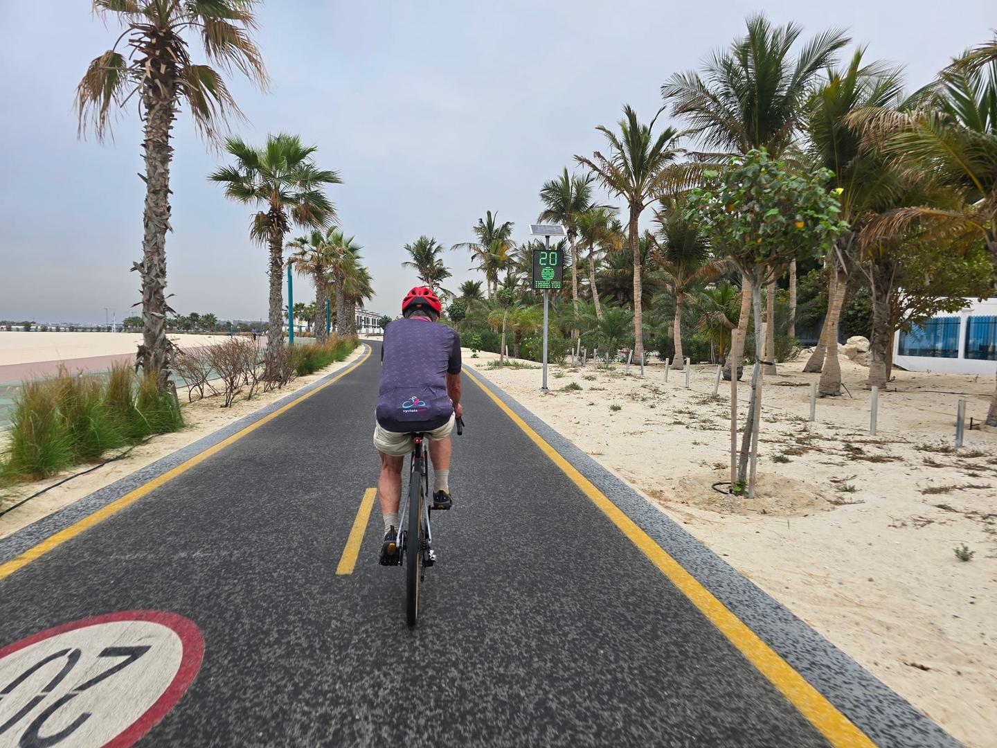
Starting from Dubai near Al Thanyah 1, the route heads south passing through Al Sufouh 1 and then Umm Al Sheif at 8.2 km. It continues through the various districts of Umm Suqeim between 8.2 and 13 km before reaching the Jumeirah areas from 14.9 to 20.2 km. After Jumeirah, it moves through Al Bada'a at 21.2 km, then loops back north towards Al Sufouh and Al Sufouh 2 before returning to the start point near Dubai. The profile is entirely flat, with elevation ranging between 2 m and 9 m.
The surface is mainly paved, covering 90% of the 43.1 km, with no gravel or unpaved roads and some unmapped sections making up 10%. Road types include 22.7 km on main roads, 8.2 km on quiet streets, 5.1 km on paths, 4.5 km on minor roads, and 2.2 km on cycle paths. However, all 22.8 km of the main roads lack cycle lanes. The longest named roads ridden are Jumeira Street for 13.1 km and Abdullah Omran Taryam Street for 5 km.
Along the route there are cafés, supermarkets, and toilets, with no stretch longer than 3.7 km without a café, shop, or water, except between 37.8 km and 41.5 km. Notable cafés include Boon Coffee Roasters at 1.6 km and Costa Coffee at 21.6 km. Shops like Al Maya supermarket appear early at 0.9 km and later at 21.6 km. Water taps are at 12.6 km and drinking water at 33.5 km. Bike shops and rentals are near the route around 15.1 km, 28.8 km, and 40.1 km. Bail-out points with stations and ferries are present at 3.2 km, 16.8 km, and 26.8 km.
Why ride this route?
- The flattest of the 32 rides from Dubai.
Highlights
- Loop through Umm Al Sheif and Jumeirah districts
- Flat route with max elevation 9 m
- Rides along Jumeira Street for 13.1 km
- Cafés and shops available every few kilometres
Along the route
Places passed
Traffic, surface and gradient
This is not a cycle-track route: 53% is on main roads without a cycle lane. Riders should be comfortable sharing the road with faster traffic.
- Roads
- 53% main road · 19% quiet street · 12% path · 11% minor road · 5% other roads and tracks
- Main roads
- 22.8 km on main roads without a cycle lane — likely busier
- Cycle paths
- 2.2 km on cycle paths or roads with a cycle lane
- Main roads used
- Jumeira Street (13 km), Abdullah Omran Taryam Street (5 km)
- Surface
- Paved: 90% of the route is mapped as paved and 10% has no surface data.
- Gradient
- 0% climbing · 0% descending · 100% flat
Food, water and services
No stretch is longer than 15 km without a café, shop or water. Along the route: 364 cafés and restaurants, 55 shops, 3 water points, 9 petrol stations, 22 public toilets and 5 bike shops.
Food, water and shops in ride order
- 0.9 kmAl Maya · supermarket · 30 m off route
- 1.1 kmDubai Media City Clinic · clinic · 180 m off route
- 6.1 kmToilets · 190 m off route
- 9.6 kmLa Grove Café · café · 40 m off route
- 12.1 kmAhmad Bin Ali Supermarket · supermarket · on the route
- 12.6 kmWater tap · 220 m off route
- 15.1 kmENOC · petrol station · 60 m off route
- 19.6 kmToilets · 110 m off route
- 21.6 kmCosta coffee · café · on the route
- 22.7 kmENOC · petrol station · 210 m off route
- 24.6 kmToilets · 230 m off route
- 28.8 kmCareem Bike · bike rental · on the route
- 30.3 kmToilets · 80 m off route
- 33.5 kmDrinking water · on the route
- 35.3 kmThe Surf Café & The Sushi Bar · café · on the route
- 35.4 kmToilets · 80 m off route
- 36 kmConvenience store · 40 m off route
- 42.4 kmBlue Mart · convenience store · 40 m off route
Need to bail out?
- 3.2 km — Dubai Internet City (station), 450 m off route
- 16.8 km — Jumeirah Marine Transport Station (ferry), 560 m off route
- 26.8 km — Jumeirah One Fishing Harbour (ferry), 290 m off route
Worth a stop
- 1.7 km — ARN Arabian Radio Network (viewpoint)
- 17.3 km — Jumeirah Archaeological Site (archaeological site)
- 21.9 km — Jumeirah Mosque (attraction)
- 30.7 km — medwin medical jumera (attraction)
- 34.1 km — Umm Suqeim Night Swimming Beach (attraction)
- 37.7 km — Golden Horses (monument)
Start and access
At the start and finish
- Food and coffee
- La Gaufrette (220 m), 25- Degrees North (210 m), Vue Beef Noodles (150 m)
- Shops
- Green Plus Supermarket (30 m), Bluemart Supermarket (200 m), Carrefour Market (300 m)
Know before you go
- 3.7 km stretch without café, shop, or water between 37.8 km and 41.5 km
- 22.8 km on main roads without cycle lane