Road · United Arab Emirates
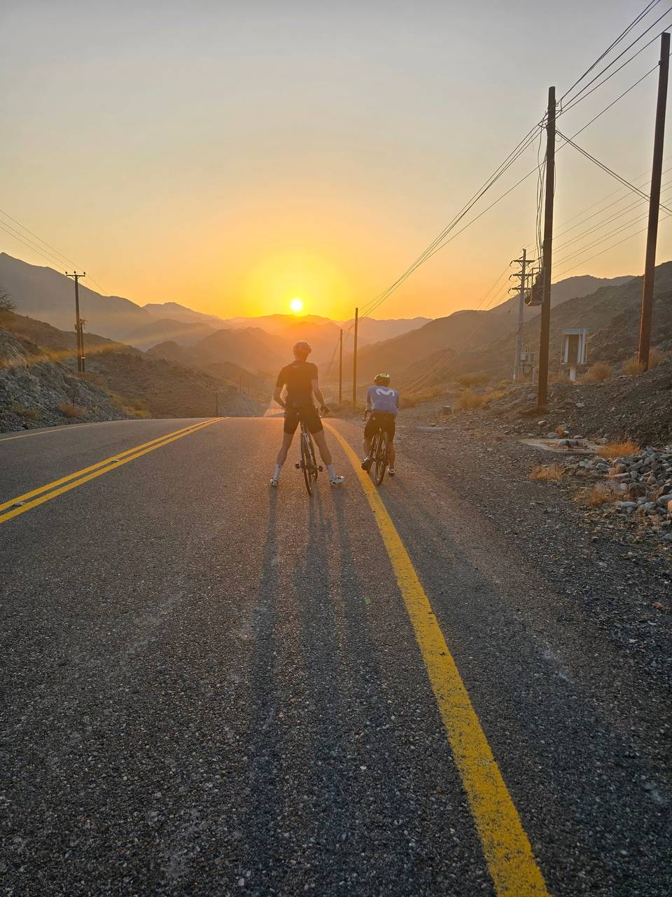
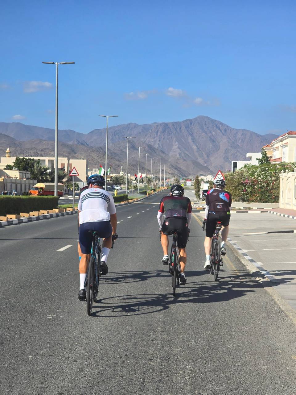
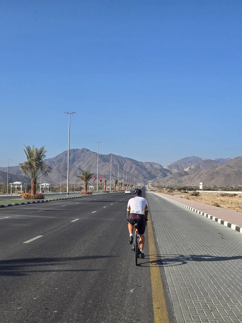
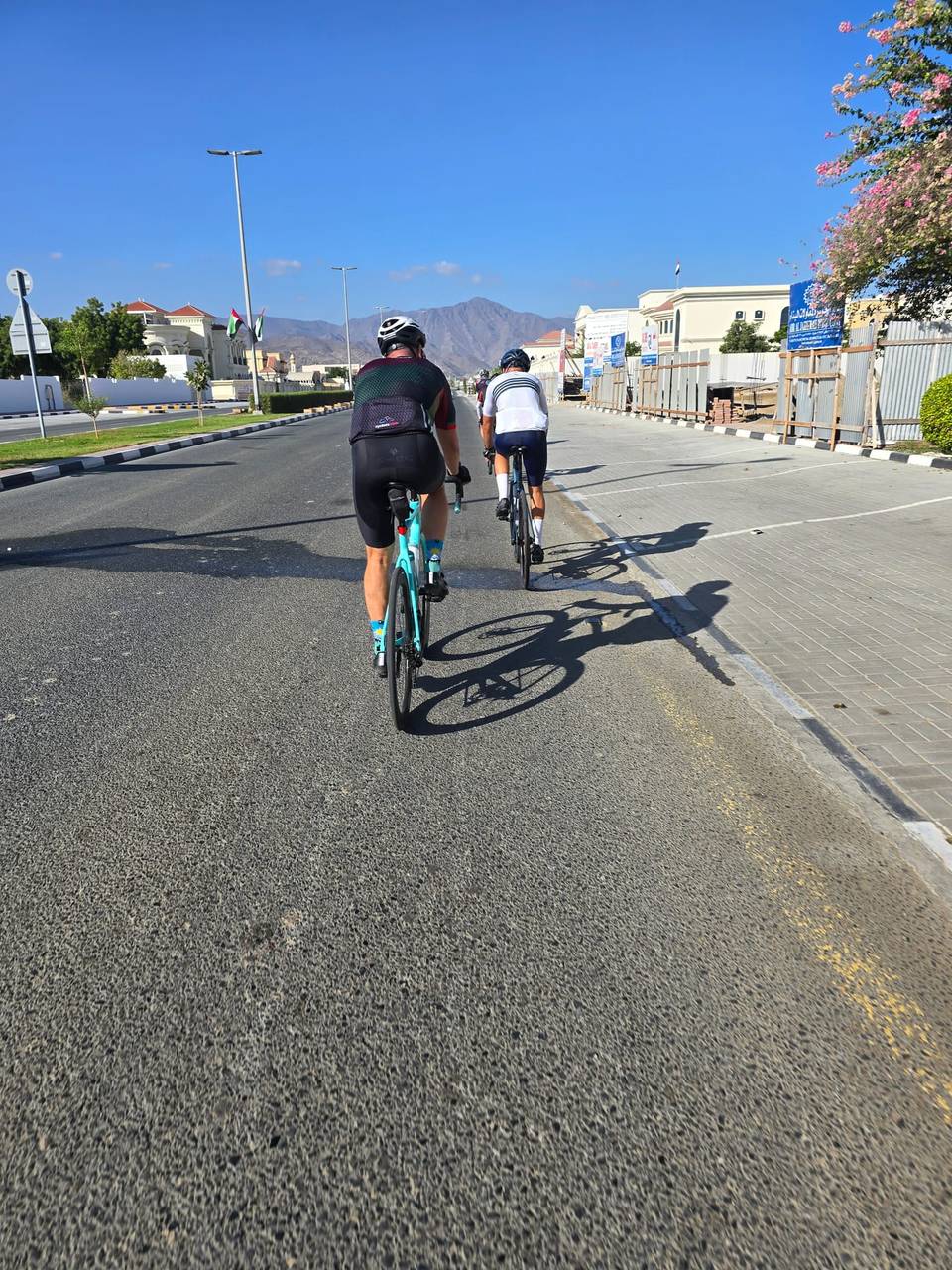
A mountainous 76 km road cycling loop from Fujairah through Minazif and Al Qilē'ī, with 1,199 m of climbing. Most of it (74.9 km) is on main roads without a cycle lane, 56.7 km where the limit is 80 km/h or more. The first 76 km has no café, shop or water.
This 76.2 km loop starts and finishes in Al Fujayrah, heading towards Minazif at 67.1 km, then passing Al Qilē'ī and Munay. The route climbs steadily from km 6.7 with a 5.1 km ascent gaining 149 m up to 484 m. Other climbs occur throughout, including notable sections at km 20.3, 25, 47.2, 52.2, 59.8, 64.3 and 68.3, with gradients reaching up to 13.1% on short stretches. The highest point is 489 m around km 28.5, after which the route descends steadily for 6.3 km.
The entire route is paved and made up mostly of 73.1 km on motorway (96%) plus 1.8 km on main roads and 0.8 km of quiet streets. Riders will mostly follow the Sharjah - Kalba Road for nearly 70 km. There are 74.9 km of main roads without a cycle lane and 56.7 km with speed limits of 80 km/h or more. Facilities are very scarce: no cafés, shops or water for the entire 75.9 km. Toilets are near the route at 7 km and 25.8 km off by about 12-24 m, and a bike shop is off-route at 20.2 km.
The route lies beneath peaks including Jabal Ash Shahayrah (532 m), Jabal Al Hinnah (637 m), and Jabal Al Miqsha (400 m). The climb and descent gearing suits moderate ability. Average temperatures recorded are 30-32 °C in April and September.
| Climb | Starts at | On this ride | Top on this ride |
|---|---|---|---|
| Unnamed climb | 6.7 km | 5.1 km · 149 m · 3 % · max 7.9 % | 484 m |
| Unnamed climb | 20.3 km | 3 km · 108 m · 3.6 % · max 5.4 % | 399 m |
| Unnamed climb | 25 km | 3.5 km · 106 m · 3.1 % · max 5.5 % | 489 m |
| Unnamed climb | 42.1 km | 1.9 km · 49 m · 2.6 % · max 3.9 % | 305 m |
| Unnamed climb | 47.2 km | 1.3 km · 85 m · 6.5 % · max 13 % | 315 m |
| Unnamed climb | 52.2 km | 1.5 km · 84 m · 5.8 % · max 12.2 % | 267 m |
| Unnamed climb | 59.8 km | 1.3 km · 93 m · 7 % · max 13.1 % | 268 m |
| Unnamed climb | 62.2 km | 1.8 km · 67 m · 3.7 % · max 7 % | 231 m |
| Unnamed climb | 64.3 km | 2 km · 91 m · 4.7 % · max 8.5 % | 314 m |
| Unnamed climb | 68.3 km | 1.9 km · 67 m · 3.6 % · max 5.3 % | 308 m |
This is not a cycle-track route: 98% is on main roads without a cycle lane, 56.7 km of it where the limit is 80 km/h or more. Riders should be comfortable sharing the road with faster traffic.
The longest stretch without a café, shop or water is 76 km, from the start. Along the route: 2 public toilets and 1 bike shop.