Cyclists.com

Fujairah to Shinas

48 km road cycling out-and-back route559 m climbing1½–2½ hoursGPX

Fujairah, United Arab Emirates · Road

A hilly 48 km road cycling out-and-back route from Fujairah through Sufayri, Hatta and Hayl, with 559 m of climbing over the As Simsimānīyah climb. Most of it (43.4 km) is on main roads without a cycle lane, 1.7 km where the limit is 80 km/h or more.
Download GPXMap

At a glance

Best for
Short, climbing-heavy rides for confident riders at ease in traffic
Distance
47.9 km
Out and back
Elevation gain
559 m
12 m per km
Riding time
1½–2½ hours
moving time, estimated
Difficulty
Moderate
Bike
Road bike
from the mapped surface
Surface
Paved
98% paved · 1% unpaved
Traffic
Mostly main roads
43.4 km on main roads without a cycle lane · 1.7 km where the limit is 80 km/h or more
Food & water
Longest gap 20 km
12 cafés and restaurants · 3 shops · 1 water point · 1 petrol station · 5 public toilets
Best months
Dec to Mar
Fujairah climate, 10 years
Navigation
GPX download
free, no sign-in
Start and finish
Fujairah

Map and elevation profile

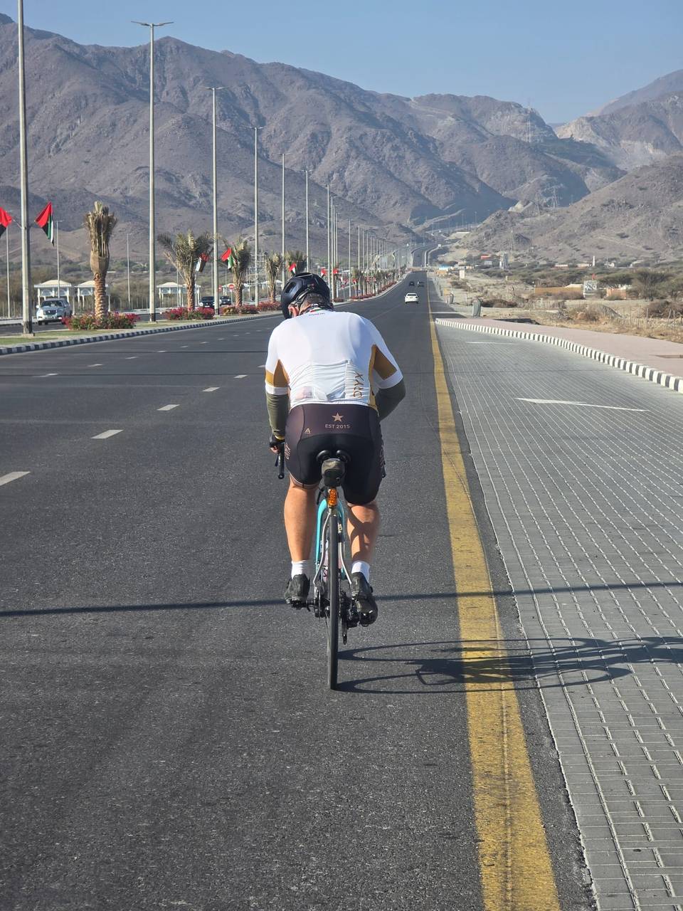
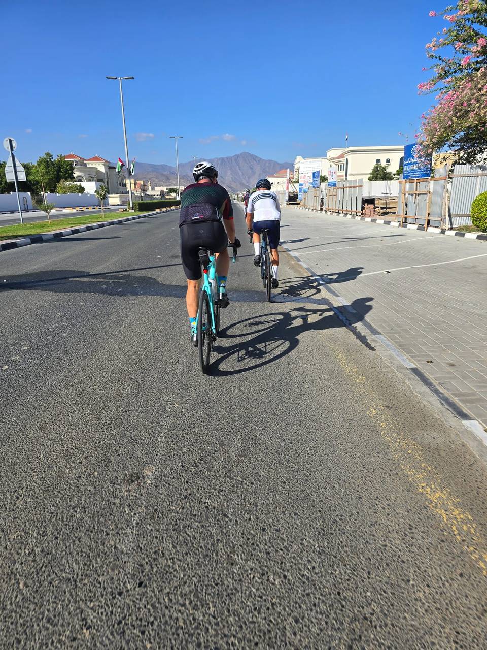
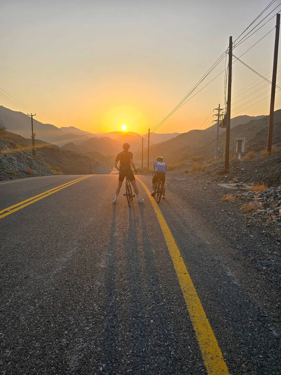
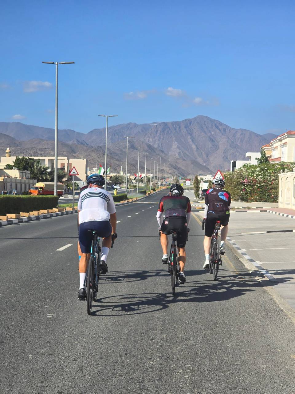
On the road: Fujairah to Shinas, Fujairah

Elevation profile

Total ascent
559 m
Distance
48 km
0100200300400500m0 km1020304048 km408 m · highest, at 32.9 kmStartFinish · back at the start

Route description

  1. Fujairah
  2. As Simsimānīyah climbkm 9
  3. Sufayrikm 20
  4. Hattakm 22
  5. Haylkm 24
  6. Huwaylatkm 39
  7. Al Wa'abkm 44
  8. Fujairahkm 48

The route starts from Al Fujayrah and passes through Sufayri at 20.4 km and Hatta at 22.1 km before reaching Huwaylat at 39 km. It covers almost entirely paved roads with 98% tarmac and only 1% gravel or unpaved surface. Most of the 47.9 km ride is on main roads (87%), with some sections on major roads, quiet streets, and minor roads. The D30 road is the longest named road segment at 5.1 km.

The first half includes most of the climbing, with a 5.9 km climb beginning at 8.8 km that gains 189 m at an average gradient of 3.2%, reaching an altitude of 407 m. Other shorter climbs follow shortly after passing Hatta and around Huwaylat, with gradients ranging from 2.4% to 4.7%. The highest point is at 32.7 km at 407 m. Descents total 32% of the route including a longest descent of 5.7 km dropping 184 m starting at 33 km. The route has long stretches on main roads without cycle lanes, including 43.4 km total, and a 1.7 km section on fast roads with speed limits of 80 km/h or more.

Cafés, shops, and water can be found near the first 27.9 km of the route, including Al Yamm Cafe at 19.9 km and a convenience store at 23.7 km. After 27.9 km there is a 19.6 km stretch without any café, shop or water. Toilets are located near 19.6 km and 24.7 km, with a viewpoint called Tower also off route by 212 m at 24.7 km. A petrol station is located close to 8.2 km. The route lies beneath the 550 m peak of Jabal Abu Samasimah near 23.7 km.

Why ride this route?

  • The shortest of the 10 rides from Fujairah, yet it climbs 559 m.
  • Climbs the As Simsimānīyah climb (5.9 km at 3.2 %).
  • Tops out at 407 m, 32.7 km in.
  • A 5.7 km descent dropping 184 m.

Highlights

  • Climb starting at 8.8 km with 189 m gain
  • Viewpoint Tower near 24.7 km
  • Peaks near Jabal Abu Samasimah
  • Longest descent 5.7 km dropping 184 m

Along the route

Measured from the route line, the Copernicus elevation model and OpenStreetMap.

Places passed

  1. Sufayri 20.4 km
  2. Hatta 22.1 km
  3. Hayl 23.9 km
  4. Huwaylat 39 km
  5. Al Wa'ab 44.4 km

Climbs

Climbs in ride order: where each starts, what this ride climbs, and the full named ascent
ClimbStarts atOn this rideFull ascentTop on this ride
As Simsimānīyah climb8.8 km5.9 km · 189 m · 3.2 % · max 8.9 %5.9 km · 189 m · 3.2 %407 m
Unnamed climb21.1 km1.7 km · 40 m · 2.4 % · max 4 %367 m
Unnamed climb28.9 km2.1 km · 81 m · 4 % · max 5.8 %386 m
Unnamed climb31.5 km1.2 km · 54 m · 4.7 % · max 7.7 %407 m
Unnamed climb44.5 km1.1 km · 43 m · 3.9 % · max 6.1 %278 m

High point 407 m at 32.7 km; low point 208 m. Passes beneath Jabal Abu Samasimah.

On this ride: the part this route climbs, cut from its own elevation profile. Full ascent: the whole named climb, measured the same way on every ride that uses it (its climb page).

As Simsimānīyah climb · full ascent, starts at 8.8 km

5.9 km at 3.2% · 189 m
250300350400m2.1%2.4%3.5%7.0%0 km123455.9 km406 msteepest 7.0%
< 4%4 – 7%7 – 10%> 10%

Traffic, surface and gradient

Measured from OpenStreetMap along the track and the elevation profile.

This is not a cycle-track route: 91% is on main roads without a cycle lane, 1.7 km of it where the limit is 80 km/h or more. Riders should be comfortable sharing the road with faster traffic.

Roads
87% main road · 4% major road · 4% quiet street · 3% minor road · 2% other roads and tracks
Main roads
43.4 km on main roads without a cycle lane — likely busier
Fast roads
1.7 km on roads with a limit of 80 km/h or more
Main roads used
D30 (5 km)
Surface
Paved: 98% of the route is mapped as paved, 1% as unpaved.
Gradient
32% climbing · 32% descending · 35% flat
Steep sections
2.6 km over 5% · 0.7 km over 8% · steepest 500 m averages 17% at 0 km
Longest descent
5.7 km from 33 km, dropping 184 m

Food, water and services

Within a few hundred metres of the track, from OpenStreetMap. Opening hours change — treat this as where to look, not a promise.

The longest stretch without a café, shop or water is 20 km, from km 28 to 48. Along the route: 12 cafés and restaurants, 3 shops, 1 water point, 1 petrol station and 5 public toilets.

Food, water and shops in ride order

  1. 8.1 kmnaseem al howailat · supermarket · 30 m off route
  2. 8.2 kmADNOC · petrol station · 40 m off route
  3. 19.5 kmHatta Pharmacy LLC. · pharmacy · 40 m off route
  4. 19.6 kmToilets · 50 m off route
  5. 19.9 kmAl Yamm Cafe · café · 70 m off route
  6. 19.9 kmDrinking water · 150 m off route
  7. 23.7 kmHatta adventures · convenience store · 330 m off route
  8. 24.7 kmToilets · 270 m off route
  9. 27.3 kmCafé · on the route

Worth a stop

  • 24.7 kmTower (viewpoint)

Know before you go

  • Longest stretch without café, shop or water: 19.6 km from 27.9 km
  • 43.4 km on main roads without cycle lane
  • 1.7 km on fast roads with 80 km/h speed limits
  • Gravel or unpaved surface 1% of route

Routes are for inspiration. Roads, surfaces and conditions change — check locally and ride within your limits.

About this route

Date ridden
Route line
Built from a GPS recording of the ride.
Elevation
Recalculated from the Copernicus GLO-90 terrain model every 50 m, not the device’s barometer.
Roads, surface, services
Measured along the line from OpenStreetMap extracts.
Best months
Ten years of ERA5 weather for Fujairah (Open-Meteo).
GPX
Generated from the route line: track points only, no timestamps or personal data.
Page added
Page last updated

See something wrong with this ride?

Also over the As Simsimānīyah climb

Similar length from Fujairah

More climbing