Road · United Arab Emirates
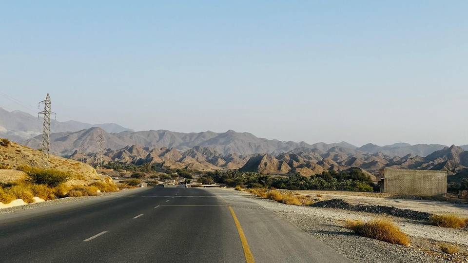
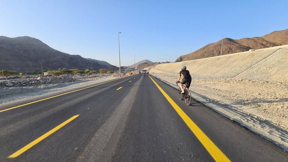
A hilly 71 km road cycling loop from Kalba, Sharjah through Huwaylat, As Simsimānīyah and Hatta, with 627 m of climbing over the As Simsimānīyah climb. Most of it (53 km) is on main roads without a cycle lane, 21.5 km where the limit is 80 km/h or more.
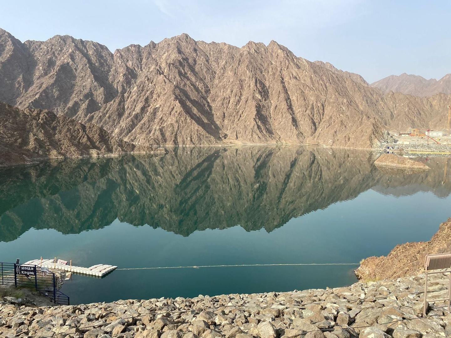
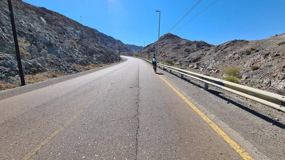
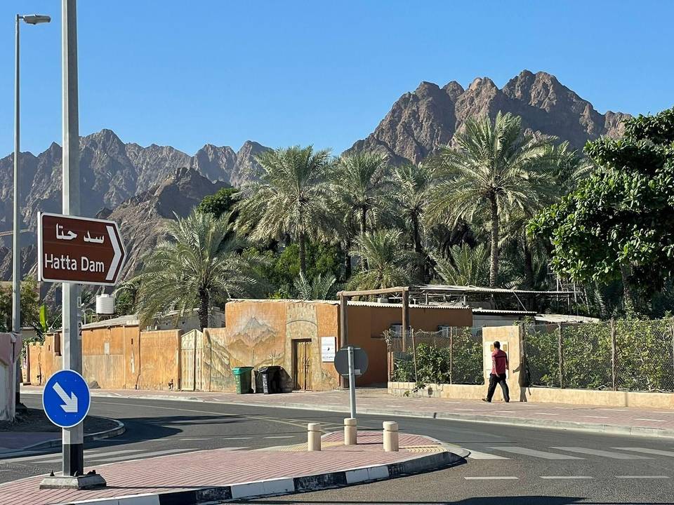
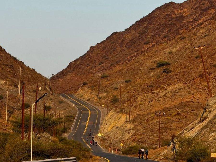
The ride starts in Kalba and heads northwest, passing through Huwaylat at 14 km and As Simsimānīyah at 16 km. Just after Huwaylat begins a 6 km climb gaining 189 m at an average of 3.2%, peaking at 407 m. The route continues with smaller climbs near Sufayri and Hayl before reaching Hatta at 33 km.
Beyond Hatta, the route heads south and passes Al Qor at 54 km before continuing on minor and major roads back toward Kalba. There is one notable climb of 2.8 km with 78 m gain near 43 km, reaching 456 m, the highest point on the route. The return leg includes a shorter climb near 62 km before descending back to the start.
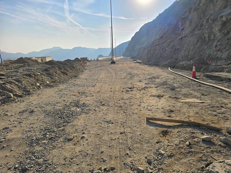
The route is 98% paved with about 2% gravel or unpaved track. It includes 29 km on main roads, 17 km on motorways, 13 km on minor roads, and 7 km on major roads. There are 53 km on main roads without cycle lanes and 21.5 km on roads with speed limits of 80 km/h or more. Food and drink can be found near 25 km and 36 km, with shops, petrol stations, water points, and toilets scattered along the way. The longest stretch without facilities is 16.4 km between 54 and 70 km.
| Climb | Starts at | On this ride | Full ascent | Top on this ride |
|---|---|---|---|---|
| As Simsimānīyah climb | 14.3 km | 6 km · 189 m · 3.2 % · max 8.9 % | 5.9 km · 189 m · 3.2 % | 407 m |
| Unnamed climb | 26.4 km | 1.7 km · 42 m · 2.5 % · max 3.8 % | — | 365 m |
| Unnamed climb | 28.5 km | 1.3 km · 43 m · 3.3 % · max 5.6 % | — | 409 m |
| Unnamed climb | 43.1 km | 2.8 km · 78 m · 2.8 % · max 4 % | — | 456 m |
| Unnamed climb | 62.1 km | 1.4 km · 45 m · 3.1 % · max 6 % | — | 279 m |
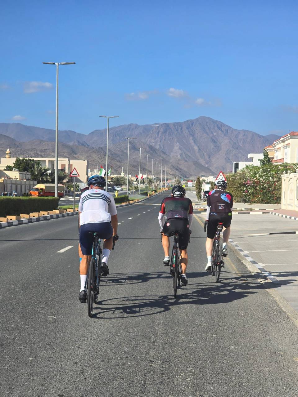
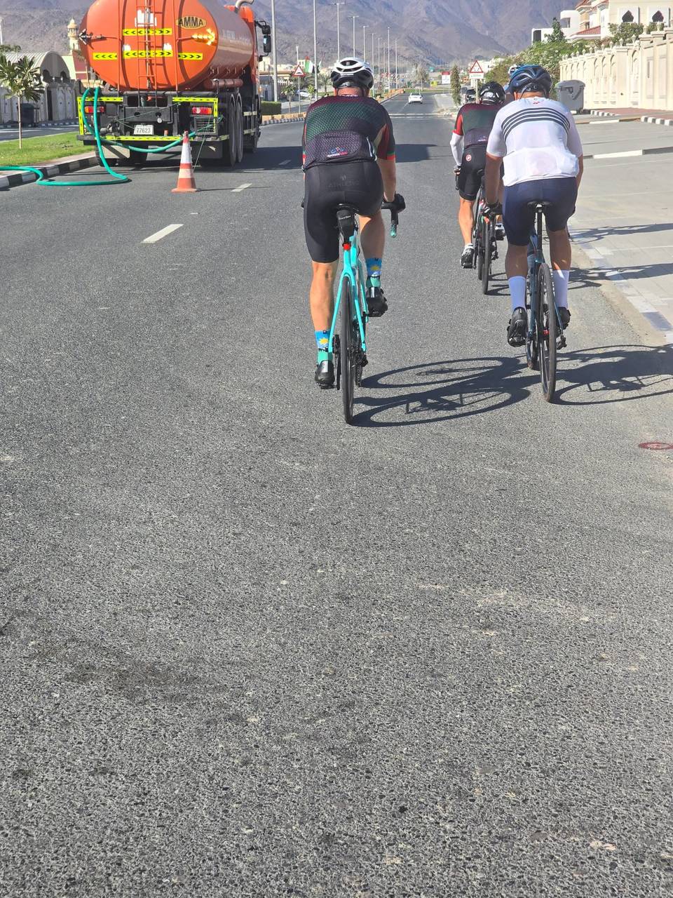
This is not a cycle-track route: 74% is on main roads without a cycle lane, 21.5 km of it where the limit is 80 km/h or more. Riders should be comfortable sharing the road with faster traffic.
The longest stretch without a café, shop or water is 16 km, from km 54 to 71. Along the route: 14 cafés and restaurants, 6 shops, 2 water points, 4 petrol stations and 5 public toilets.