Road · United Arab Emirates
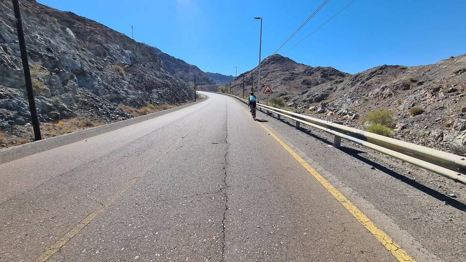
A hilly 97 km road cycling route from Yaif, Sharjah to Kalba via Al Uqdah and Wahala through Al Qor, Sha'biyyat Milāḩ and Al Wa'ab, with 1,184 m of climbing. Most of it (87.6 km) is on main roads without a cycle lane, 43.3 km where the limit is 80 km/h or more. The first 48 km has no café, shop or water.
This 97.1 km route starts at Kalba and passes through several small towns including Yaif (2 km), Al Qor (4.4 km), and Munay (15.3 km). The route contains a series of climbs, with the steepest being 1.5 km at 5.1% average and peaking at 13.6%, near 23.5 km. Other notable climbs range between 1.3 and 3.1 km in length with gradients mostly between 2.5% and 6.2%. The highest point near the road is Jabal Al Miqsha at 400 m, located about 21.9 km along the way.
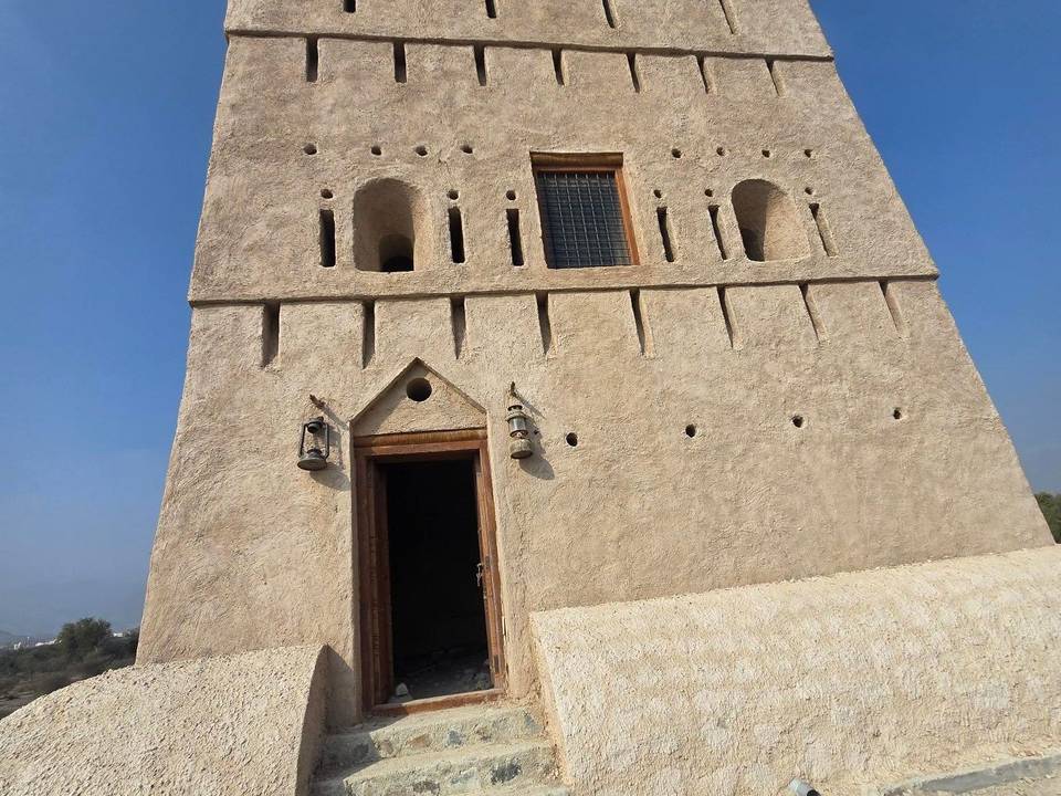
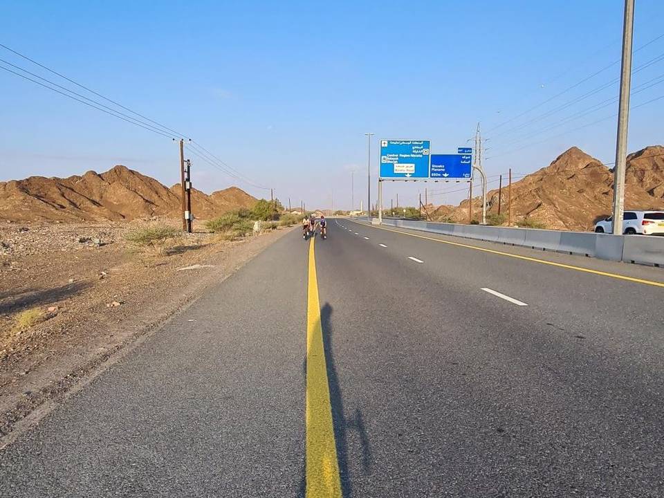
The road surface is mostly paved (99%), with only 1% gravel or unpaved. The route runs predominantly on motorway (47%), main road (41%), and some minor or major roads, with 87.6 km on main roads without a cycle lane and 43.3 km on roads with speed limits of 80 km/h or more. The longest continuous stretch without a café, shop or water is almost 48 km from the start. Facilities such as a Starbucks café, toilets, a kiosk, and a petrol station (ADNOC) are clustered around 49-52 km, near the Wildlife observation viewpoint. Wahla Fort lies near 63.5 km, slightly off route.
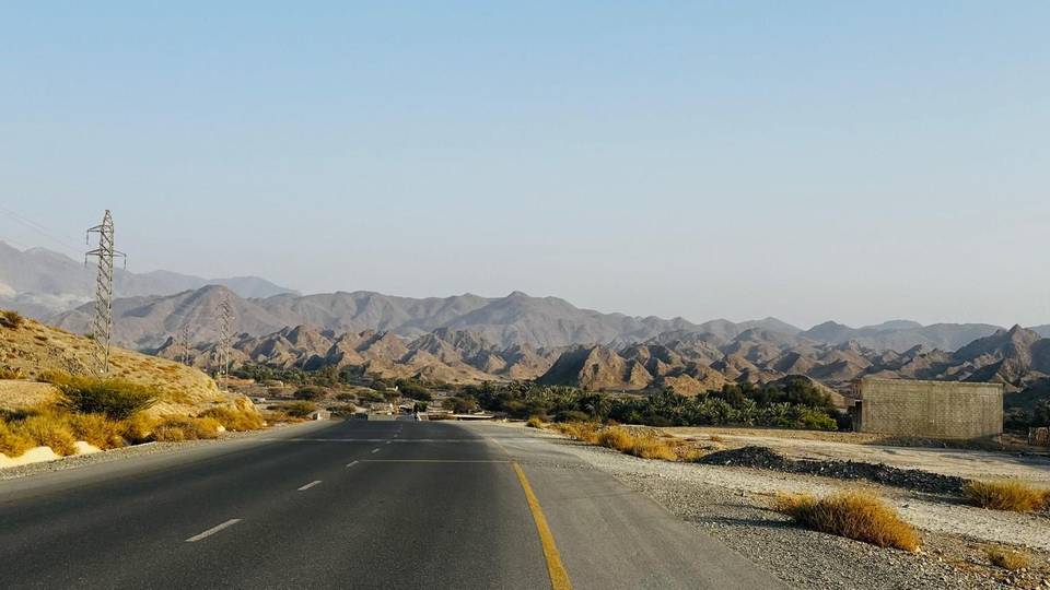
The profile is mixed with flats making up 50%, climbing 23%, and descending 27%. The route features a descent up to 8.1 km long dropping 157 m from about 40 km. It runs through the Hajar Mountains region and ends at Kalba. The ride was recorded in April, the only month noted.
| Climb | Starts at | On this ride | Top on this ride |
|---|---|---|---|
| Unnamed climb | 12.4 km | 1.3 km · 44 m · 3.4 % · max 6.2 % | 278 m |
| Unnamed climb | 18.8 km | 1.8 km · 49 m · 2.7 % · max 4 % | 305 m |
| Unnamed climb | 23.5 km | 1.5 km · 78 m · 5.1 % · max 13.6 % | 315 m |
| Unnamed climb | 28.4 km | 1.8 km · 92 m · 5.3 % · max 11.8 % | 267 m |
| Unnamed climb | 33.3 km | 3.1 km · 89 m · 2.9 % · max 6.4 % | 270 m |
| Unnamed climb | 52.6 km | 2.8 km · 84 m · 3 % · max 7.7 % | 95 m |
| Unnamed climb | 69.2 km | 1.9 km · 46 m · 2.5 % · max 3.7 % | 186 m |
| Unnamed climb | 74.5 km | 1.5 km · 90 m · 6.2 % · max 13.4 % | 267 m |
| Unnamed climb | 77 km | 1.9 km · 68 m · 3.6 % · max 6.9 % | 231 m |
| Unnamed climb | 79.3 km | 1.6 km · 90 m · 5.6 % · max 10.5 % | 303 m |
| Unnamed climb | 82.9 km | 2 km · 67 m · 3.4 % · max 5.1 % | 308 m |
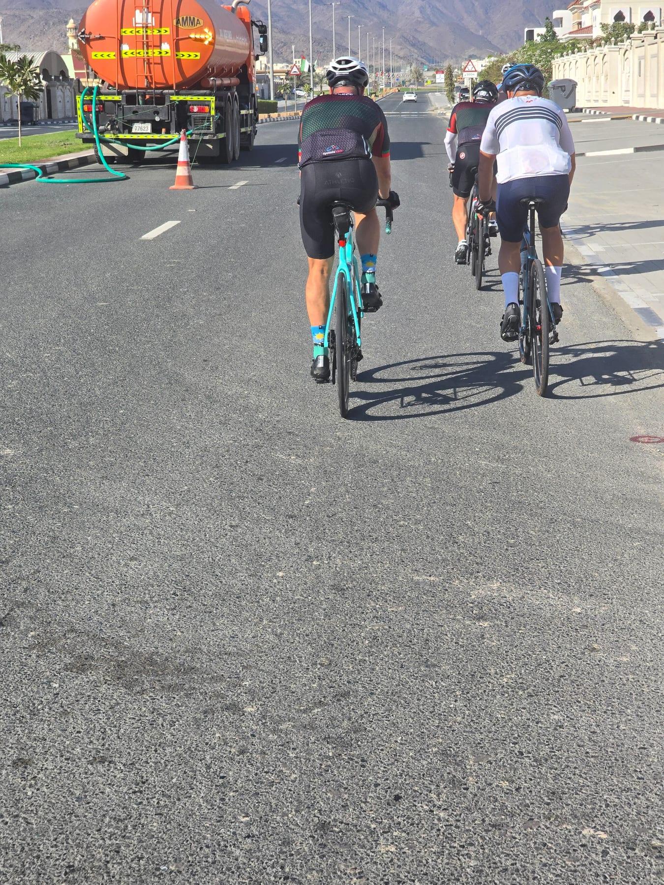
This is not a cycle-track route: 90% is on main roads without a cycle lane, 43.3 km of it where the limit is 80 km/h or more. Riders should be comfortable sharing the road with faster traffic.
The longest stretch without a café, shop or water is 48 km, from the start. Along the route: 4 cafés and restaurants, 1 shop, 1 petrol station and 2 public toilets.