Road · United Arab Emirates
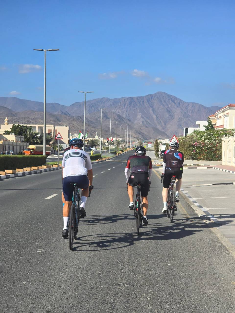
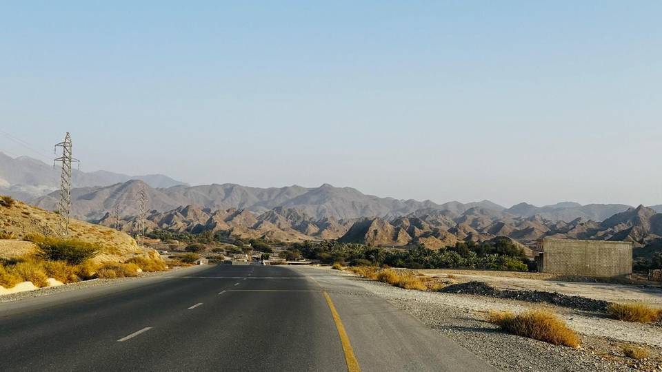
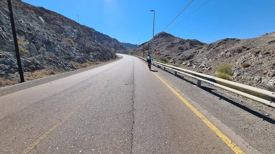
A hilly 83 km road cycling loop from Kalba, Sharjah through Yaif, Al Qor and Hatta, with 738 m of climbing. Most of it (52.8 km) is on main roads without a cycle lane, 16.4 km where the limit is 80 km/h or more.
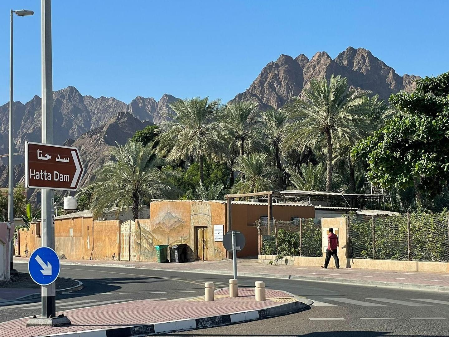
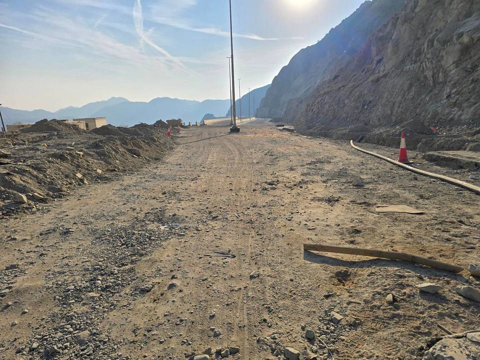
This 83.1 km loop starts and finishes in Kalba, passing through places including Yaif at 7.6 km, Al Qor at 12.3 km, and Hatta at 44 km. The road surface is 97% paved with minor gravel sections and covers a mix of main roads, minor roads, motorways, major roads, quiet streets, tracks, and paths. Around 21.5 km are on main roads and 16.4 km fall on roads with speed limits of 80 km/h or more, including an 11.7 km stretch on the E44 road.
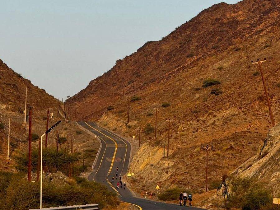
Climbing totals 711 m, concentrated mainly in the first half which accounts for 63% of the gain. Key climbs include a 3.4 km ascent from km 14.8 with a 2.9% average gradient, and shorter climbs with gradients up to 7.3% towards the latter sections. The highest point is 456 m near km 20. The longest descent covers 5.7 km with a drop of 181 m starting near km 63.2. Services are spaced along the route but expect an 18.4 km stretch without cafés, shops, or water between km 49.9 and 68.3.
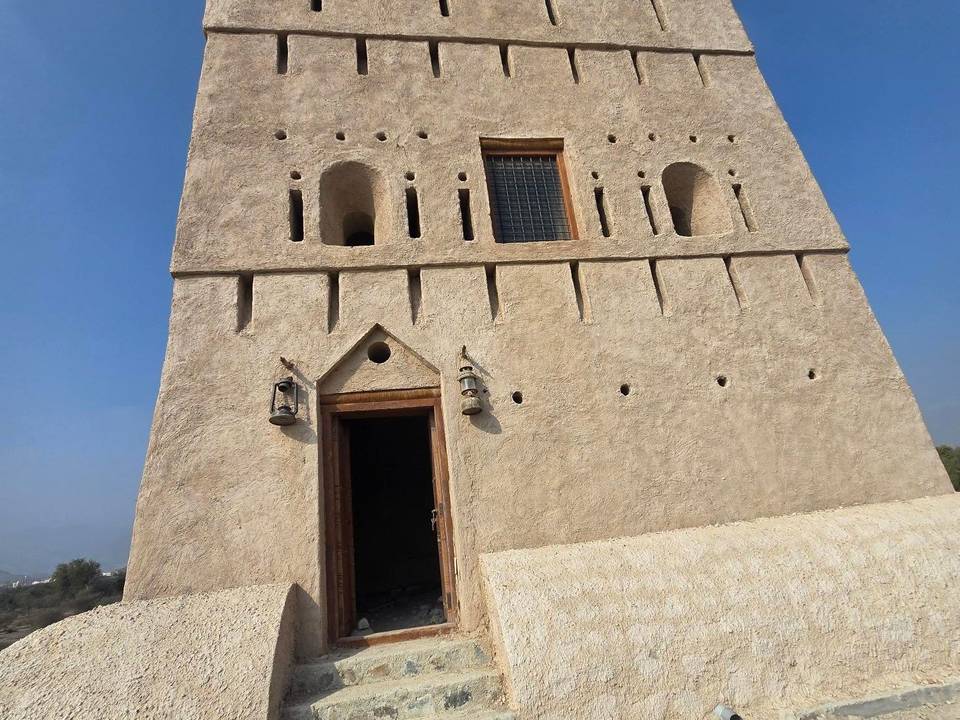
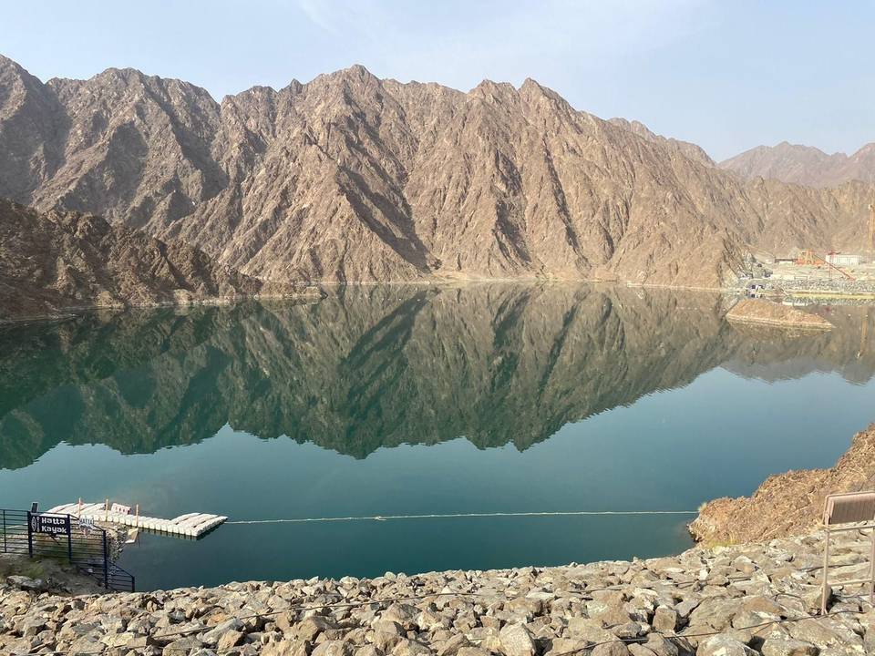
Along the way, notable stops close to the road include the Masfut Museum and Old Castle near km 36.9, a viewpoint at 44 km, and Jabal Ruwayshid peak near km 54.4. Food and water are available near km 46.5 and shops noted around km 11.9 and 24.8.
| Climb | Starts at | On this ride | Top on this ride |
|---|---|---|---|
| Unnamed climb | 2.9 km | 2 km · 52 m · 2.7 % · max 4.4 % | 362 m |
| Unnamed climb | 14.8 km | 3.4 km · 98 m · 2.9 % · max 4.2 % | 419 m |
| Unnamed climb | 18.5 km | 1.5 km · 42 m · 2.8 % · max 3.9 % | 456 m |
| Unnamed climb | 40.5 km | 1.4 km · 43 m · 3.2 % · max 6 % | 410 m |
| Unnamed climb | 57.5 km | 2.4 km · 84 m · 3.5 % · max 5.6 % | 386 m |
| Unnamed climb | 60.4 km | 1.3 km · 49 m · 3.9 % · max 7.3 % | 407 m |
| Unnamed climb | 73.2 km | 1.5 km · 44 m · 3 % · max 5.6 % | 278 m |
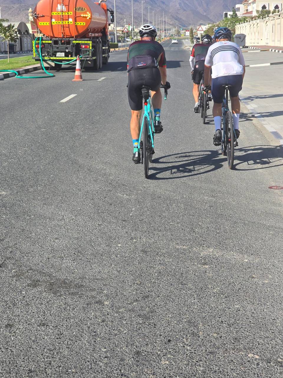
This is not a cycle-track route: 64% is on main roads without a cycle lane, 16.4 km of it where the limit is 80 km/h or more. Riders should be comfortable sharing the road with faster traffic.
The longest stretch without a café, shop or water is 18 km, from km 50 to 68. Along the route: 16 cafés and restaurants, 5 shops, 3 water points, 1 petrol station, 6 public toilets and 1 bike shop.