Road · United Arab Emirates
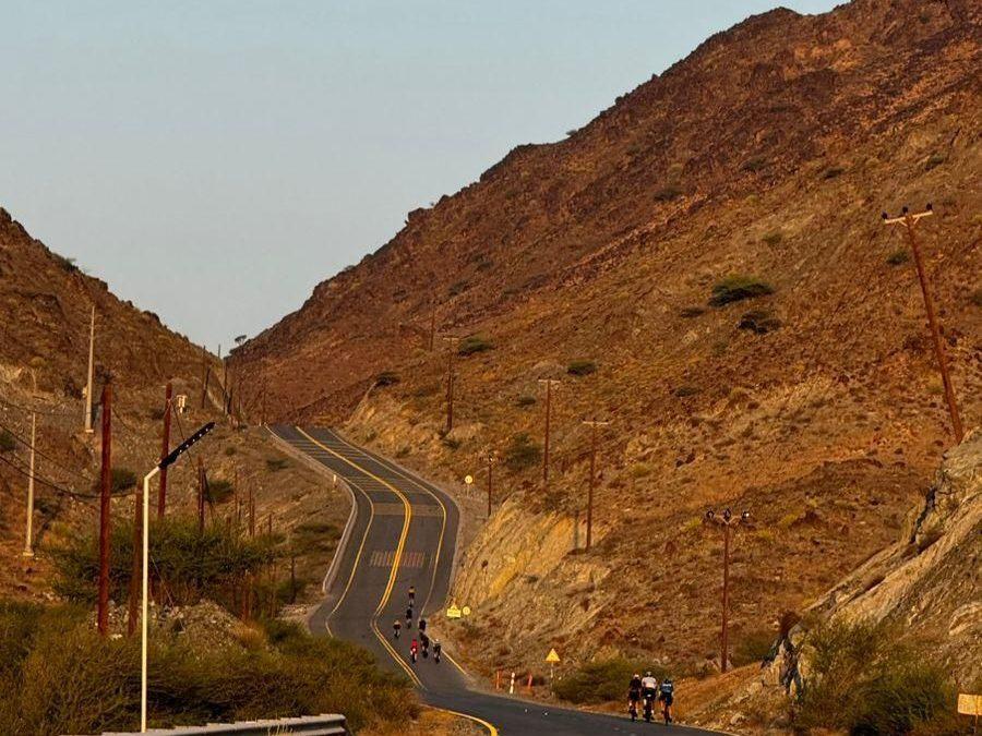
A hilly 90 km road cycling loop from Kalba, Sharjah through Munay, Wahala and Al ‘Ayn al Ghumūr, with 1,320 m of climbing. Most of it (87.6 km) is on main roads without a cycle lane, 45.8 km where the limit is 80 km/h or more. The first 56 km has no café, shop or water.
The route starts in Kalba and heads to Munay at 18.6 km, then continues to Wahala at 43.9 km. After Wahala, it passes Al ‘Ayn al Ghumūr at 50.6 km, followed by Minazif at 77 km and Al Qilē'ī at 78.2 km before returning to Kalba. The ride features multiple climbs including early ascents reaching up to 450 m, with an overall elevation gain of 1002 m. The highest point of the route is at 450 m near 8.8 km, while the lowest point is 2 m at 56.5 km.
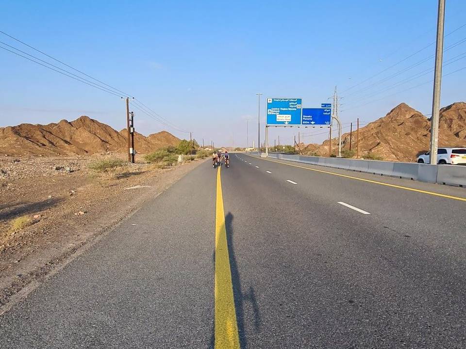
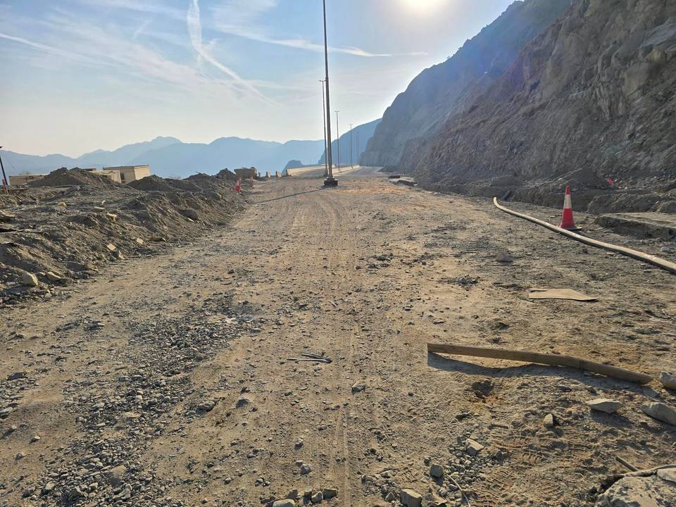
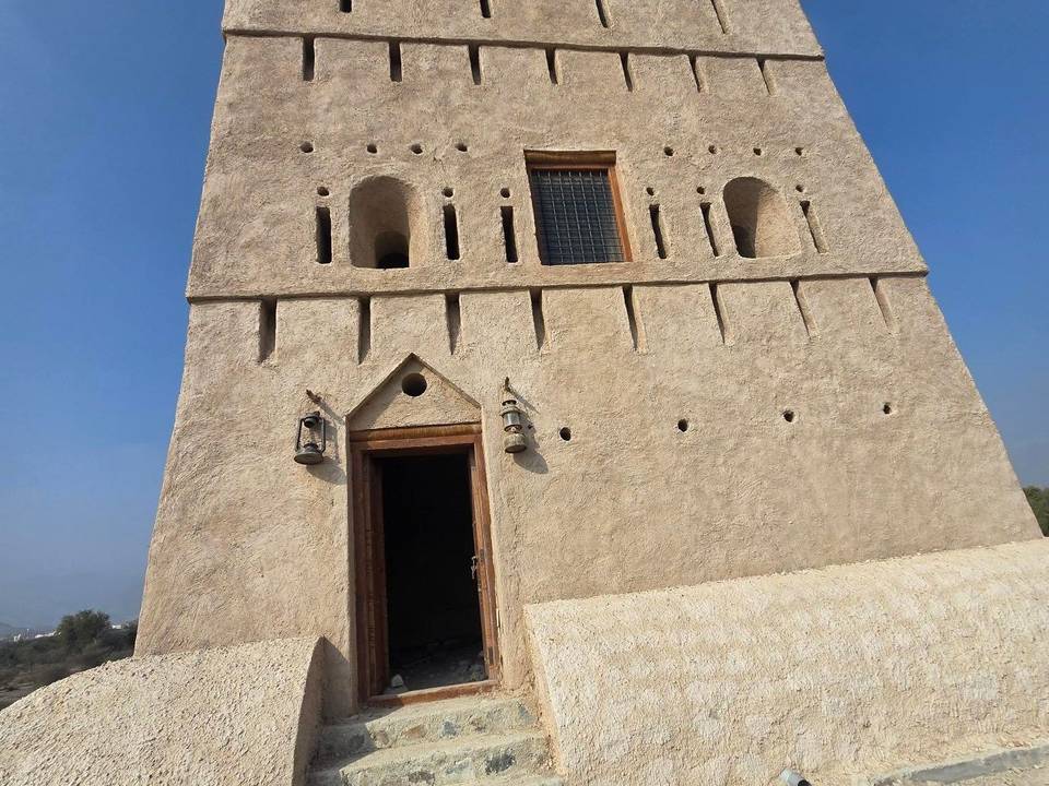
Roads are mainly motorways (53%) and main roads (41%), totaling 87.6 km without cycle lanes, with nearly half of the route on roads with speed limits of 80 km/h or more. Almost all surfaces (99%) are paved, except for a short 1% of gravel or unpaved track near the route. The ride follows Sharjah - Kalba Road for nearly 50 km. There is a long stretch of 55.9 km from the start before any café, shop or water, but shops, toilets, food, and petrol stations are found around the 55-64 km mark off route by under 220 m. Wahla Fort and a wildlife observation viewpoint are near the route around 44-56 km, and the Hanging Garden Kalba attraction lies near 63.7 km.
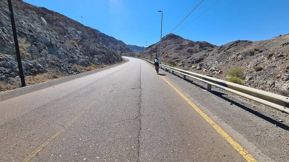
Climbing includes several ascents exceeding 5% gradient, with the longest climb lasting 4.1 km averaging 6.3%, and some short sections maxing out above 13%. The largest continuous descent is 3.7 km dropping 84 m. Peaks near the road are Jabal Al Miqsha at 400 m near 23.7 km and Jabal Al Khasfah at 464 m near 63.3 km.
| Climb | Starts at | On this ride | Top on this ride |
|---|---|---|---|
| Unnamed climb | 0.9 km | 1.5 km · 62 m · 4.1 % · max 8.2 % | 380 m |
| Unnamed climb | 3 km | 1.8 km · 82 m · 4.5 % · max 7.2 % | 449 m |
| Unnamed climb | 7.3 km | 1.5 km · 47 m · 3.2 % · max 5.1 % | 450 m |
| Unnamed climb | 20.5 km | 1.9 km · 49 m · 2.6 % · max 4.1 % | 305 m |
| Unnamed climb | 25.4 km | 1.4 km · 82 m · 5.8 % · max 13.8 % | 315 m |
| Unnamed climb | 30.1 km | 1.8 km · 95 m · 5.2 % · max 12.1 % | 267 m |
| Unnamed climb | 51.2 km | 1.2 km · 45 m · 3.7 % · max 7.6 % | 94 m |
| Unnamed climb | 59.9 km | 4.1 km · 260 m · 6.3 % · max 11.1 % | 279 m |
| Unnamed climb | 69.3 km | 1.6 km · 77 m · 4.8 % · max 13.7 % | 267 m |
| Unnamed climb | 72.1 km | 1.9 km · 65 m · 3.5 % · max 6.7 % | 228 m |
| Unnamed climb | 74.1 km | 1.8 km · 89 m · 4.9 % · max 10.4 % | 310 m |
| Unnamed climb | 78.1 km | 2 km · 67 m · 3.3 % · max 5.2 % | 308 m |
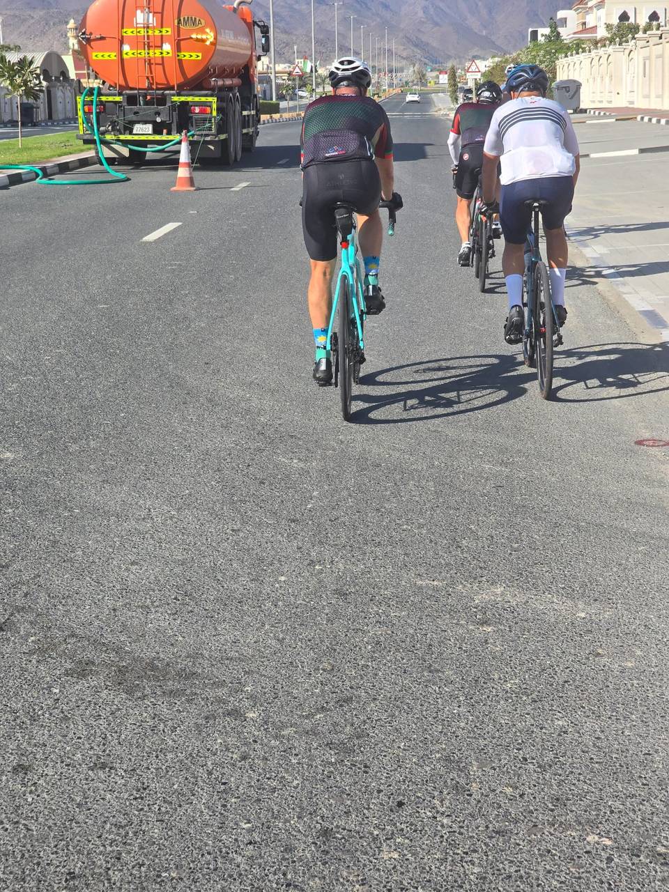
This is not a cycle-track route: 97% is on main roads without a cycle lane, 45.8 km of it where the limit is 80 km/h or more. Riders should be comfortable sharing the road with faster traffic.
The longest stretch without a café, shop or water is 56 km, from the start. Along the route: 6 cafés and restaurants, 1 shop, 1 petrol station and 2 public toilets.