
Cycling in Kalba
17 cycling routes from Kalba, Sharjah, United Arab Emirates, 69 to 214 km, 1,801 km mapped in all, with up to 1,334 m of climbing in a day. Hilly riding (11 m of climbing per km on average), mostly road routes, 81% of the riding on main roads without a cycle lane. Best months to ride: Dec to Feb.
At a glance
- Routes
- 17
- Lengths
- 69–214 km
- Biggest day
- 1,334 m
- Terrain
- Hilly
- Surface
- Mostly paved
- Bike
- Road bike
- Difficulty
- Moderate to Hard
- Best months
- Dec to Feb
- Longest gap
- 56 km
- GPX
- Every route
- Munay to Kalba via Al Uqdah and Al Maqt'a69 km966 m ↑Moderate·One-way·Dec 2025GPX
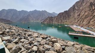
- Hatta Dam from Kalba71 km627 m ↑Moderate·Loop·Apr 2022GPX
- Munay Loop via Al Uqdah and Hanging Garden Kalba72 km1,144 m ↑Hard·Loop·May 2022GPX
- Hatta Dam and Generator Hill83 km738 m ↑Hard·Loop·Mar 2026GPX
- Munay Loop via Wahala Fort and Hanging Garden90 km1,320 m ↑Hard·Loop·Oct 2024GPX
- Kalba Loop via Khor Kalba and Wahala Fort94 km1,279 m ↑Hard·Loop·Feb 2026GPX
- Kalba Loop via Sakamkam and Yabsa Bypass Road95 km873 m ↑Hard·Loop·Jan 2026GPX
- Munay Loop via Kalba and Generator Hill95 km1,080 m ↑Hard·Loop·Jan 2021GPX
- Yaif to Kalba via Al Uqdah and Wahala97 km1,184 m ↑Hard·One-way·May 2026GPX
- Kalba – Munay – Generator Hill103 km1,070 m ↑Hard·Loop·Mar 2026GPX
- Kalba to Khor Fakkan106 km1,317 m ↑Hard·Loop·Dec 2023GPX
- Kalba Hills Loop via Wahala and Jabal Naselah107 km1,296 m ↑Hard·Loop·Oct 2023GPX
- Munay Loop via Kalba Corniche and Yabsa111 km1,340 m ↑Hard·Loop·Feb 2021GPX
- Kalba Hills Loop via Wahala and Hatta117 km1,315 m ↑Hard·Loop·Jan 2023GPX
- Munay Triple Header: Tunnel 1, Kalba, Generator Hill, Hatta Dam122 km1,334 m ↑Hard·Loop·Mar 2022GPX
- Kalba Loop via Shawka and Munay155 km1,711 m ↑Hard·Loop·Dec 2022GPX
- Kalba to Dubai via Hatta214 km1,387 m ↑Hard·One-way·Apr 2021GPX
Know before you go
Added up from the recorded routes and OpenStreetMap; nothing estimated.
- Surface
- Paved almost throughout — 23 km of gravel or unpaved road across the routes.
- Roads
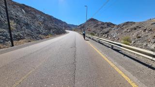
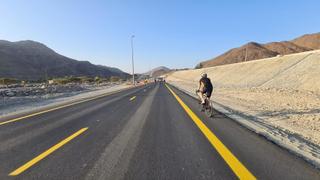
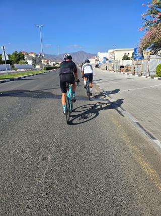
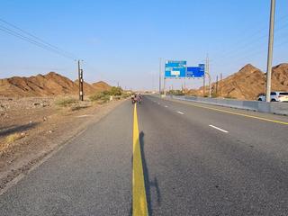
- 81% of the riding on main roads without a cycle lane.
- High point
- 623 m on Kalba to Khor Fakkan.
- Day trips
- 5 routes head for bigger hills elsewhere — up to 624 m on Kalba to Dubai via Hatta (kept out of the other facts here).
- Climbs
- 1 ascent of 500 m or more.
- Bail-outs
- A railway station or ferry within reach on 1 route.
- No services
- 56 km on Munay Loop via Wahala Fort and Hanging Garden.
- Ridden
- Oct, Dec to Apr, 19–32 °C recorded.
Cycling guide to Kalba
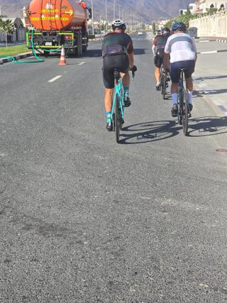
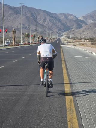
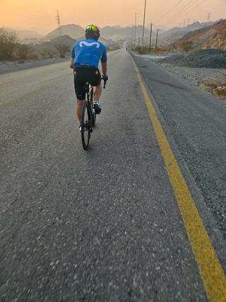
Kalba in the United Arab Emirates is a cycling destination featuring multiple routes mainly in the Hajar Mountains. These include loops and point-to-point rides ranging from 68.6 km to 214.2 km. Riders can explore places such as Munay, Hatta, Al Qor, and Kahwr Kalba on various routes. The region offers significant climbing opportunities, with the biggest climbs ranging from about 90 m to nearly 600 m elevation gain, and the highest points on routes reaching up to 624 m. Services are sometimes scarce, with longest stretches without facilities ranging from 16 km to over 66 km. Most surfaces are paved, typically over 90%, but several routes contain small sections of gravel or unpaved roads. Cycle paths are minimal or absent. Main roads without cycle lanes are extensive, often over 50 km on a route. Railway stations are present near some routes but not all.
More on best time to ride, terrain
Best time to ride
Best months to ride include January, February, March, April, September, October, November, and December, with temperatures ranging from 19°C to 32°C.
Terrain
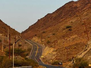
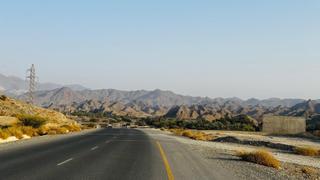
The terrain is rolling to mountainous with climbs averaging gradients mostly between 3% and 7%, and maximum slopes reaching over 20% on some climbs. The highest elevations reached in the area are around 624 m. Longer climbs typically last between 2.6 km and 13.8 km with steady elevation gains.