Road · United Arab Emirates
Kalba to Khor Fakkan
A hilly 106 km road cycling loop from Kalba, Sharjah through Al Farfar, Ishwais and Al Musalla, with 1,317 m of climbing over Dibba Al-Hisn. Most of it (71.5 km) is on main roads without a cycle lane, 56.2 km where the limit is 80 km/h or more. The first 35 km has no café, shop or water.
At a glance
- Best for
- Hilly days out for confident riders at ease in traffic
- Distance
- 106.2 km
- Elevation gain
- 1,317 m
- Riding time
- 4–5½ hours
- Difficulty
- Hard
- Bike
- Road bike
- Surface
- Paved
- Traffic
- Mostly main roads
- Food & water
- Longest gap 35 km
- Best months
- Dec to Feb
- Navigation
- GPX download
- Start and finish
- Kalba
Map and elevation profile
Elevation profile
- 1,317 m
- 106 km
Route description
- Kalba
- Al Farfar
- Ishwais
- Al Musalla
- Al Rifa'a
- Dibba Al-Hisn
- Ar Rufaysah
- Bulaidha
- Al Ghizaimri
- Kalba
This 106 km loop ride starts and finishes in Kalba, heading through several settlements including Al Farfar at 10 km, Yabsa at 16.6 km, and Khor Fakkan near 50 km. The first notable climb begins at 14.6 km and goes for 3.6 km, gaining 130 m at an average gradient of 3.6%, near Jabal Muthrad (380 m). The route passes multiple places such as Qurayyah (35.4 km), Madha (38.4 km), and Shis (65.9 km). The highest point is 623 m at 64.3 km, not far from Jabal Daftah (878 m).
Why ride this route?
- Climbs Dibba Al-Hisn (11.1 km at 5.9 %).
- Tops out at 623 m, 64.3 km in.
- A 9.6 km descent dropping 230 m.
Highlights
- Peak near Jabal Muthrad (380 m) at 15.4 km
- Highest point at 623 m at 64.3 km
- Jabal Daftah (878 m) near 67.9 km
- Climb of 13.8 km with 599 m gain from 50.5 km
Along the route
Places passed
Climbs
| Climb | Starts at | On this ride | Full ascent | Top on this ride |
|---|---|---|---|---|
| Unnamed climb | 14.6 km | 3.6 km · 130 m · 3.6 % · max 7.2 % | — | 246 m |
| Unnamed climb | 41.3 km | 1.9 km · 55 m · 2.9 % · max 5.2 % | — | 68 m |
| Dibba Al-Hisn | 50.5 km | 13.8 km · 599 m · 4.3 % · steepest 500 m 11.8 % | 11.1 km · 657 m · 5.9 % | 623 m |
| Unnamed climb | 66.9 km | 2.5 km · 83 m · 3.4 % · max 8.2 % | — | 622 m |
| Unnamed climb | 94.8 km | 8.8 km · 225 m · 2.6 % · max 5.5 % | — | 362 m |
Dibba Al-Hisn · full ascent, starts at 50.5 km
< 4%4 – 7%7 – 10%> 10%
Traffic, surface and gradient
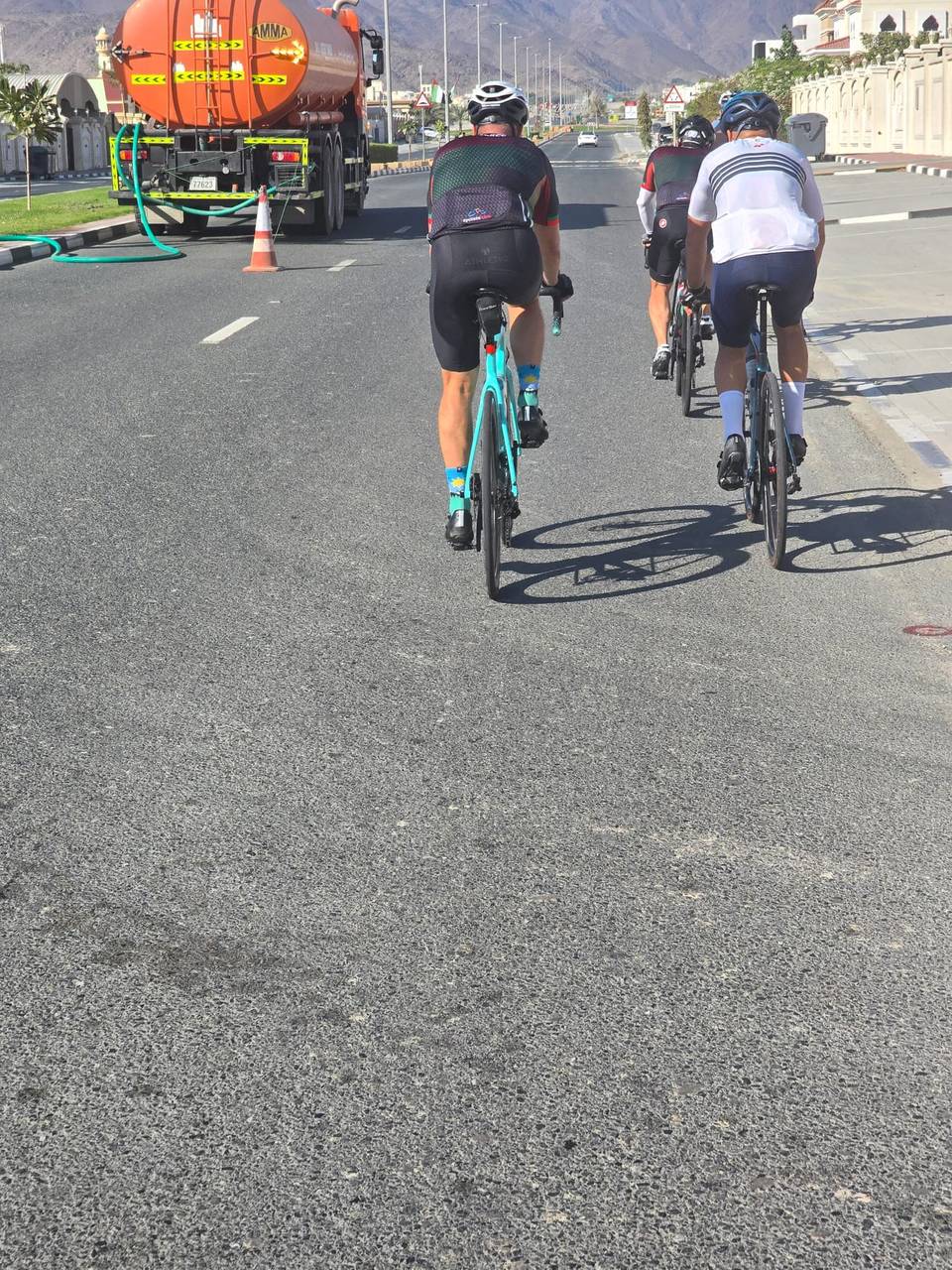
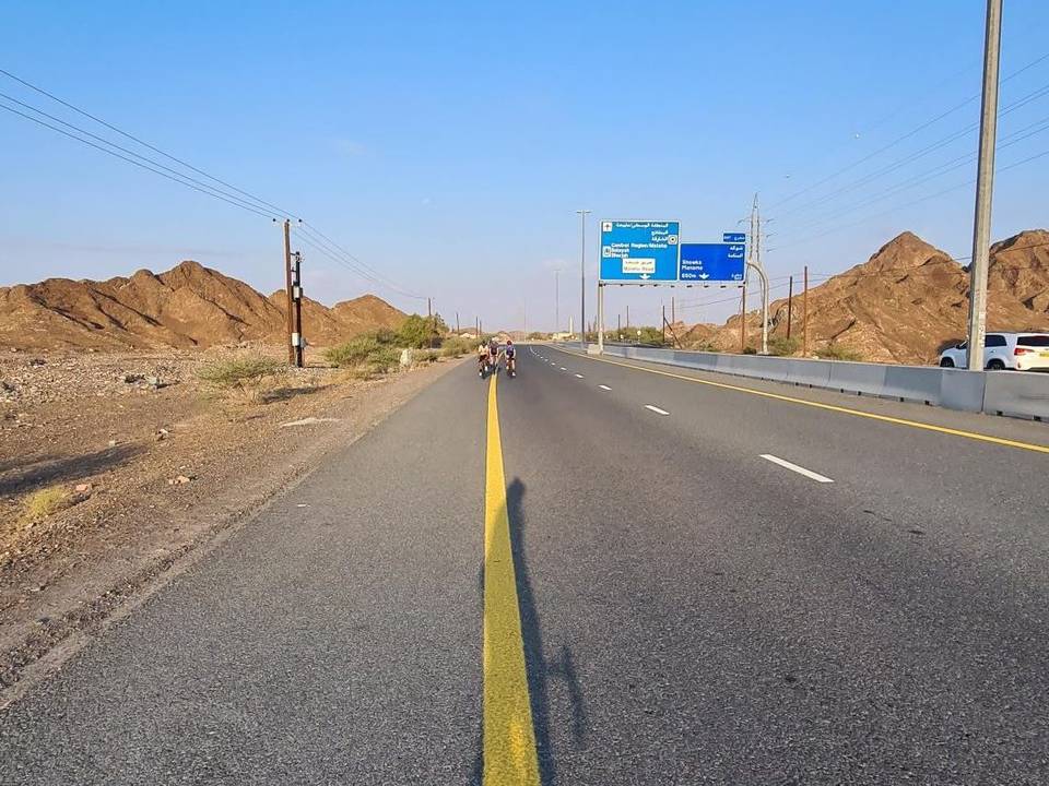
This is not a cycle-track route: 67% is on main roads without a cycle lane, 56.2 km of it where the limit is 80 km/h or more. Riders should be comfortable sharing the road with faster traffic.
- Roads
- 67% major road · 26% minor road · 2% quiet street · 2% main road · 1% other roads and tracks · 2% unmapped
- Main roads
- 71.5 km on main roads without a cycle lane — likely busier
- Fast roads
- 56.2 km on roads with a limit of 80 km/h or more
- Main roads used
- Sheikh Maktoum Bin Rashid Al Maktoum Road (18 km), Khorfakkan Road (15 km), Yabsa Bypass Road (9 km), Port Road (8 km)
- Surface
- Paved: 97% of the route is mapped as paved, 1% as unpaved and 2% has no surface data.
- Gradient
- 28% climbing · 32% descending · 40% flat
- Steep sections
- 6.7 km over 5% · 2.1 km over 8% · 0.7 km over 10% · steepest 500 m averages 22.5% at 0 km
- Longest descent
- 9.6 km from 0.1 km, dropping 230 m
Food, water and services
The longest stretch without a café, shop or water is 35 km, from the start. Along the route: 19 cafés and restaurants, 18 shops, 1 water point, 4 petrol stations and 4 public toilets.
Food, water and shops in ride order
- 35.4 kmEmarat · petrol station · 60 m off route
- 41 kmAl Madha Petrol · petrol station · 140 m off route
- 42.5 kmToilets · 30 m off route
- 44.7 kmin minde cafe · café · 380 m off route
- 49.7 kmفيفا · supermarket · 80 m off route
- 50 kmAl Fouj · café · 100 m off route
- 50.2 kmADNOC · petrol station · 90 m off route
- 50.7 kmAl Enwan medical center · hospital · 90 m off route
- 54.3 kmWishi · restaurant · 100 m off route
- 55.3 kmSharjah Coop · supermarket · 90 m off route
- 67.2 kmToilets · 60 m off route
- 67.4 kmAlsad Ice Cream - Branch 2 · ice cream · 50 m off route
- 67.4 kmMohamed Al Yoha Supermarket · supermarket · 60 m off route
- 67.7 kmEmarat · petrol station · 100 m off route
- 75.1 kmDrinking water · 40 m off route
- 80.5 kmAl Safa Supermarket · supermarket · 40 m off route
Need to bail out?
- 23.4 km — Fujairah Station (station), 560 m off route
Worth a stop
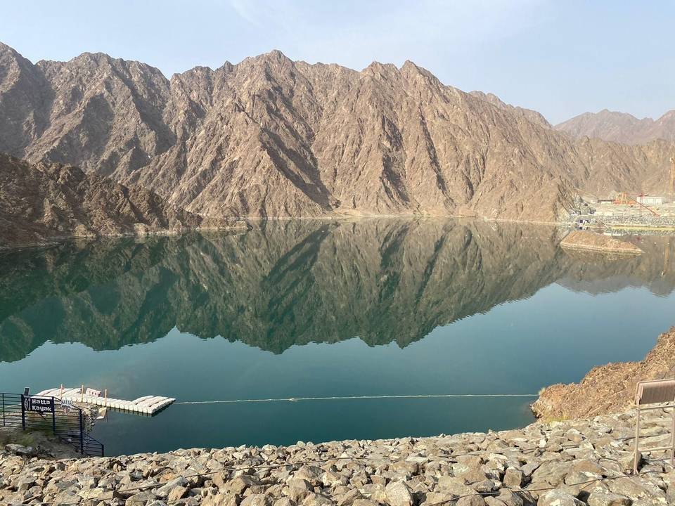
- 55.1 km — Reservoir. Observation deck (viewpoint)
Know before you go
- Longest stretch without café, shop or water for 35.4 km from start
- 71.5 km on main roads without cycle lanes
- 56.2 km on roads with 80 km/h+ speed limits
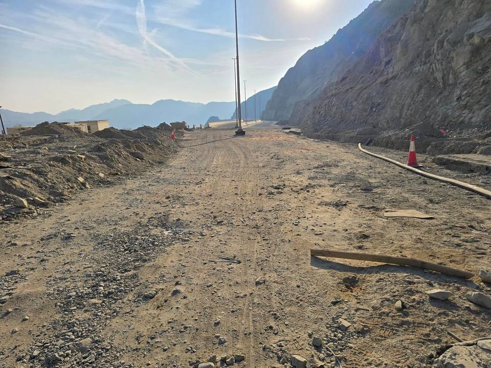
- 2.1 km of gravel or unpaved surface