Cyclists.com

Kalba Loop via Sakamkam and Yabsa Bypass Road

Kalba, Sharjah, United Arab EmiratesRoad

Route contributed by Marcus · Created from a ride on Saturday 17th January 2026

95 km
Distance
873 m
Elevation gain
Hard
Difficulty
Paved
Surface
Download GPXMap
On the road: Kalba Loop via Sakamkam and Yabsa Bypass Road

Elevation profile

Total ascent
873 m
Distance
95 km
0100200300400m0 km2040608095 km371 m · highest, at 94.6 kmStartFinish · back at the start

Route overview

Suitable for riders capable of moderate climbs over 95 km with some steep sections.

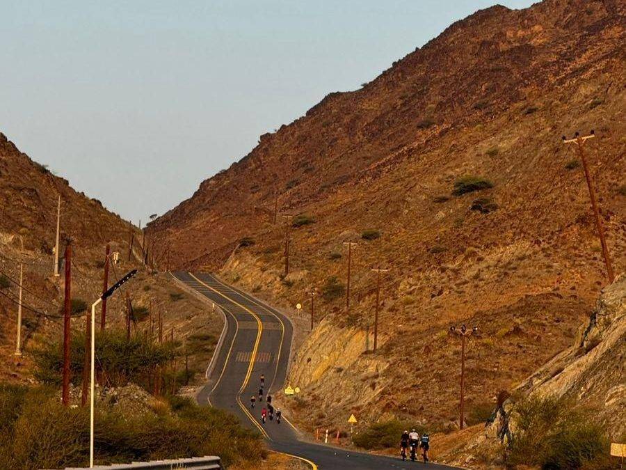
95 km loop ride in the Hajar Mountains around Kalba, UAE, with 847 m climbing.

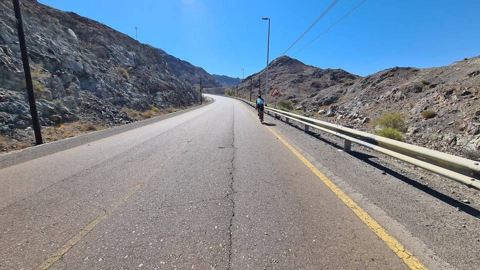
This 95 km loop starts and finishes in Kalba, passing through places including Madouk at 6.2 km, Ihfarah at 22.9 km, and Al Ghail at 46.2 km. The route climbs away from Kalba between 25 and 32 km with three climbs totalling nearly 275 m gain, the steepest with a max gradient of 8.1%. It passes at low altitude near 50 km before heading north. The ride continues through towns like Al Quala'a and Al Sidrah after 50 km, and through areas such as Yabsa Bypass Road near 75 km. The largest climb starts at 68.8 km, rising 235 m over 4.3 km with gradients reaching 13%, followed later by a longer climb of 7.8 km starting near 83 km gaining 209 m with a max gradient of 5.9%. Road surfaces are 97% paved, largely on minor, main, major roads and some motorway totaling about 55 km on main roads without cycle lanes. Cafés, shops and petrol stations are available early on, but there is no café, shop or water for 26.7 km between 65.8 and 92.5 km.

Highlights

  • Climb near Jabal Hafarah at 22 km
  • Kalba at 50 km low point at 1 m
  • Longest climb starts at 68.8 km
  • Pass beneath Jabal Muthrad at 76 km

Along the route

Measured from the recorded track and OpenStreetMap.

Places passed

  1. Madouk 6.2 km
  2. Ihfarah 22.9 km
  3. Al Uqdah 29.2 km
  4. Al Ghail 46.2 km
  5. Al Saaf 46.4 km
  6. Al Maqt'a 47.3 km
  7. Al Quala'a 50.4 km
  8. Khawr Kalba 50.5 km
  9. Al Mafraq 50.7 km
  10. Al Nighala 51.1 km
  11. Al Bardi 51.8 km
  12. Al Aoud 51.8 km
  13. Kalba 52.2 km
  14. Al Sidrah 52.5 km
  15. Al Bateen 52.5 km
  16. Al Qadesia 52.5 km
  17. Hitteen 53.3 km
  18. Al Musalla 53.3 km
  19. Al Khuwair 53.3 km
  20. Dhyatt 53.8 km
  21. Al Mughaider 54.4 km
  22. Al Mahatta 54.4 km
  23. Al Bhaies 54.7 km
  24. A'quola 54.7 km
  25. Darweshia 55.4 km
  26. Suhaila 55.7 km
  27. Al Husen 55.7 km
  28. Sour Kalba 57 km
  29. Rughaylat 58.7 km
  30. Al Gurfaa 59.6 km
  31. Safad 60.7 km
  32. Ghalala 60.9 km
  33. Owaid 61.8 km
  34. Al Faseel 62.8 km
  35. Al Sharia 64.1 km
  36. Al Sharia 1 65.3 km
  37. Al Hilal 66.6 km
  38. Ishwais 68 km
  39. Sakamkam 68.8 km
  40. Yabsa 74.6 km
  41. Al Ghizaimri 81.5 km
  42. Al Farfar 81.5 km
  43. Far`ah 82.6 km
  44. Saham 90.9 km
  45. Al Manzafah 91.5 km

Climbs

ClimbStarts atLengthGainAverageMaxTop
25.2 km5.1 km112 m2.2 %3.2 %169 m
30.7 km2.5 km99 m3.9 %8.1 %270 m
36.3 km2.3 km63 m2.8 %3.6 %265 m
Ishwais climb68.8 km4.3 km235 m5.5 %13 %247 m
82.9 km7.8 km209 m2.7 %5.9 %346 m

High point 370 m at 92.2 km; low point 1 m. Passes beneath Jabal Hafarah, Jabal Muthrad.

Ishwais climb · starts at 68.8 km

4.5 km at 5.3% · 240 m
50100150200m3.6%5.7%11%0 km12344.6 km243 msteepest 10.5%
< 4%4 – 7%7 – 10%> 10%

What this ride is like

Measured from OpenStreetMap along the track and the elevation profile.

Roads
28% minor road · 23% main road · 23% major road · 14% motorway
Main roads
55.4 km on main roads without a cycle lane — likely busier
Fast roads
17.2 km on roads with a limit of 80 km/h or more
Main roads used
Yabsa Bypass Road (10 km), Mohammed Bin Zayed City (6 km), Sharjah - Kalba Road (6 km), H.H. Sheikh Khalifa Bin Zayed Freeway (5 km)
Surface
Paved throughout
Gradient
24% climbing · 22% descending · 54% flat
Steep sections
2.6 km over 5% · 1.2 km over 8% · 0.6 km over 10% · steepest 500 m averages 22.8% at 0 km
Longest descent
6.3 km from 7 km, dropping 152 m

Along the way

Within a few hundred metres of the track, from OpenStreetMap. Opening hours change — treat this as where to look, not a promise.

Longest stretch without a café, shop or water: 27 km, from 66 km to 93 km.

Food, water and shops

  1. 14.7 kmADNOC · petrol station · 90 m off route
  2. 18.4 kmAl Gazal Cafeteria · restaurant · 80 m off route
  3. 39.5 kmHabib Beirut · restaurant · 70 m off route
  4. 45 kmStarbucks · café · 80 m off route
  5. 45.2 kmToilets · 100 m off route
  6. 45.2 kmADNOC · petrol station · 80 m off route
  7. 48.3 kmSharjah Coop · supermarket · 200 m off route
  8. 54.2 kmAl Zaytoon · pharmacy · 60 m off route
  9. 56.3 kmTamm Cafe · café · 110 m off route
  10. 58.7 kmAkbar Supermarket · convenience store · 310 m off route
  11. 59.3 kmToilets · 110 m off route
  12. 60.4 kmBike rental · on the route
  13. 60.8 kmMawadda gourmet · café · 180 m off route
  14. 61.1 kmENOC · petrol station · on the route
  15. 62.8 kmAl Sharq Pharmacy · pharmacy · 50 m off route
  16. 65.2 kmMap Cafe · café · 80 m off route
  17. 65.6 kmAl Madina Supermarket · supermarket · 70 m off route

Need to bail out?

  • 67.5 kmFujairah Station (station), 120 m off route

Whether bikes are carried depends on the service — check before relying on it.

Worth a stop

  • 39.5 kmHanging Garden Kalba (attraction)
  • 48 kmVisit Center of Khor Kalba Mangrove Reserve (attraction)
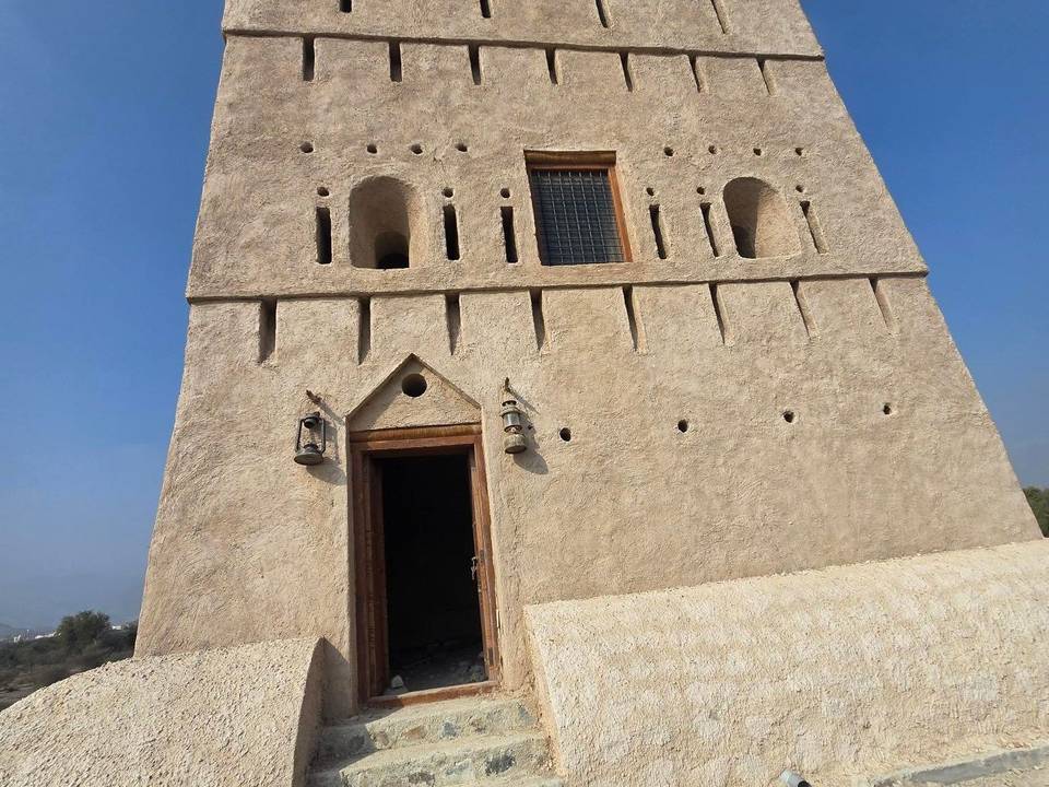
  • 55.5 kmKalba Fort (castle)
  • 59.5 kmBull fighting (Bullring) (attraction)

Practical information

Surface
Paved
Route shape
Loop
Riding time
4–5½ hours riding
Season
Jan
Best months
Dec to Feb — daily highs of 24–26 °C in those months

Know before you go

  • 26.7 km without café, shop or water from km 65.8 to 92.5
  • 55.4 km on main roads without cycle lane
  • 17.2 km on fast roads (posted 80 km/h or more)

Routes are for inspiration. Roads, surfaces and conditions change — check locally and ride within your limits.

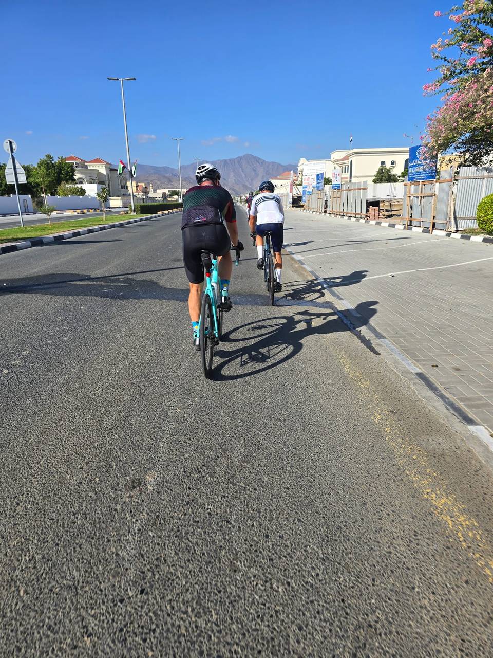
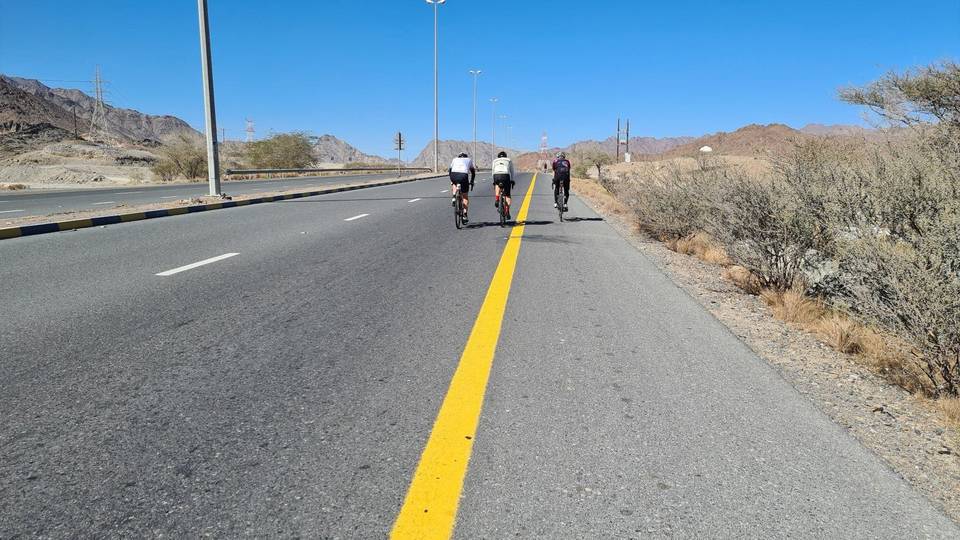
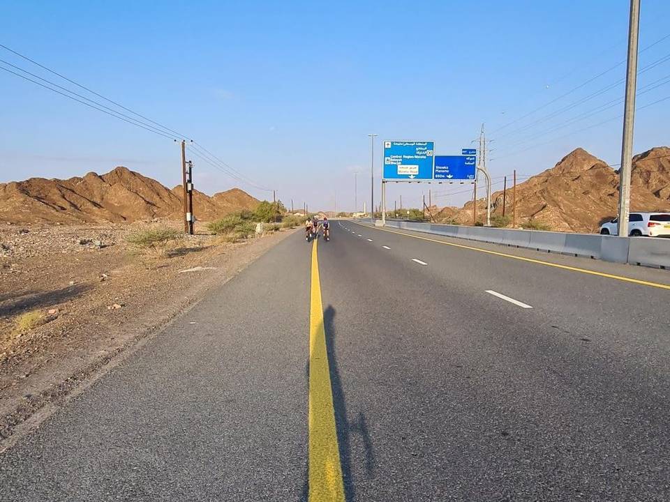
3 photographs from the road

More rides from Kalba