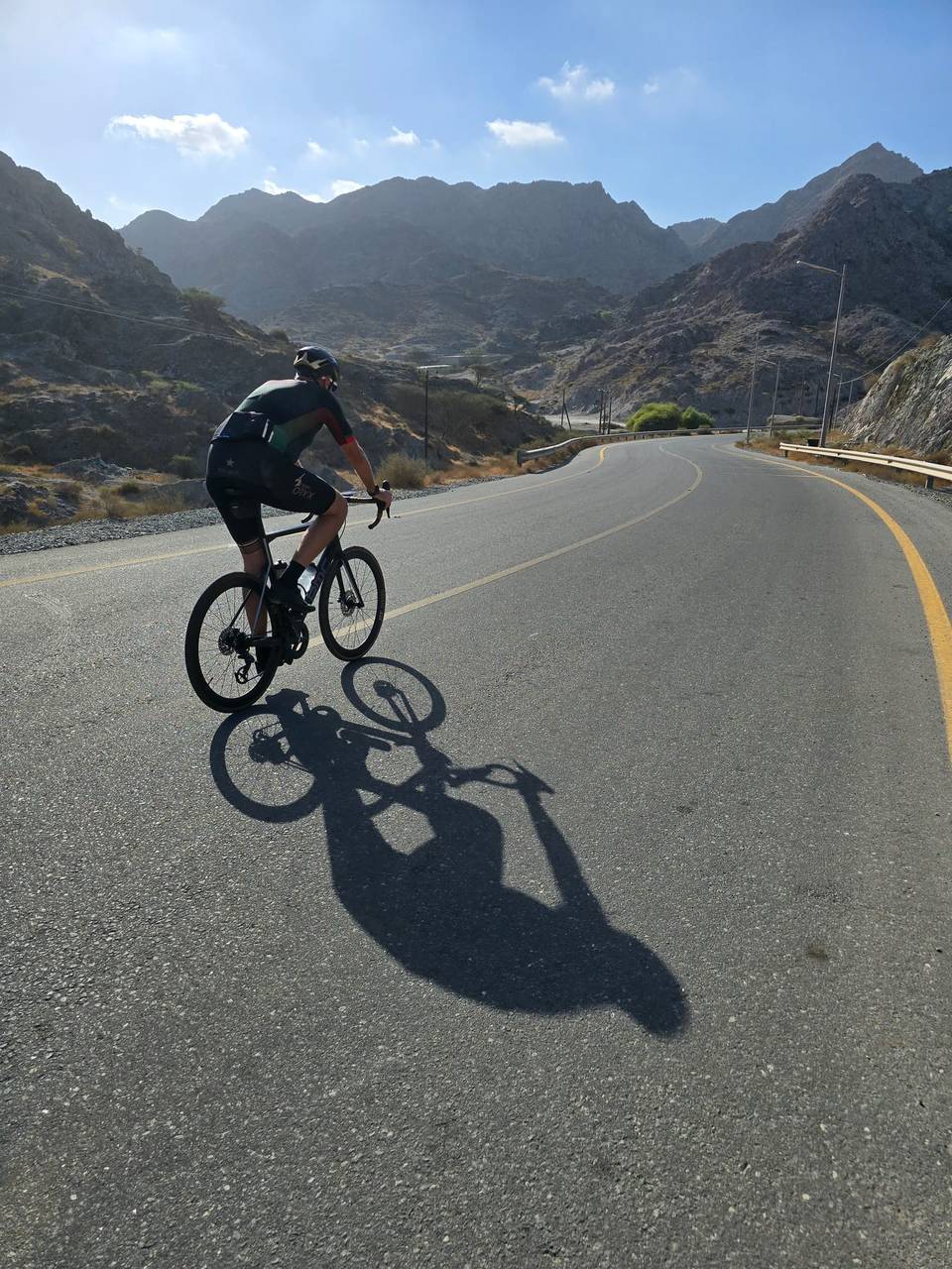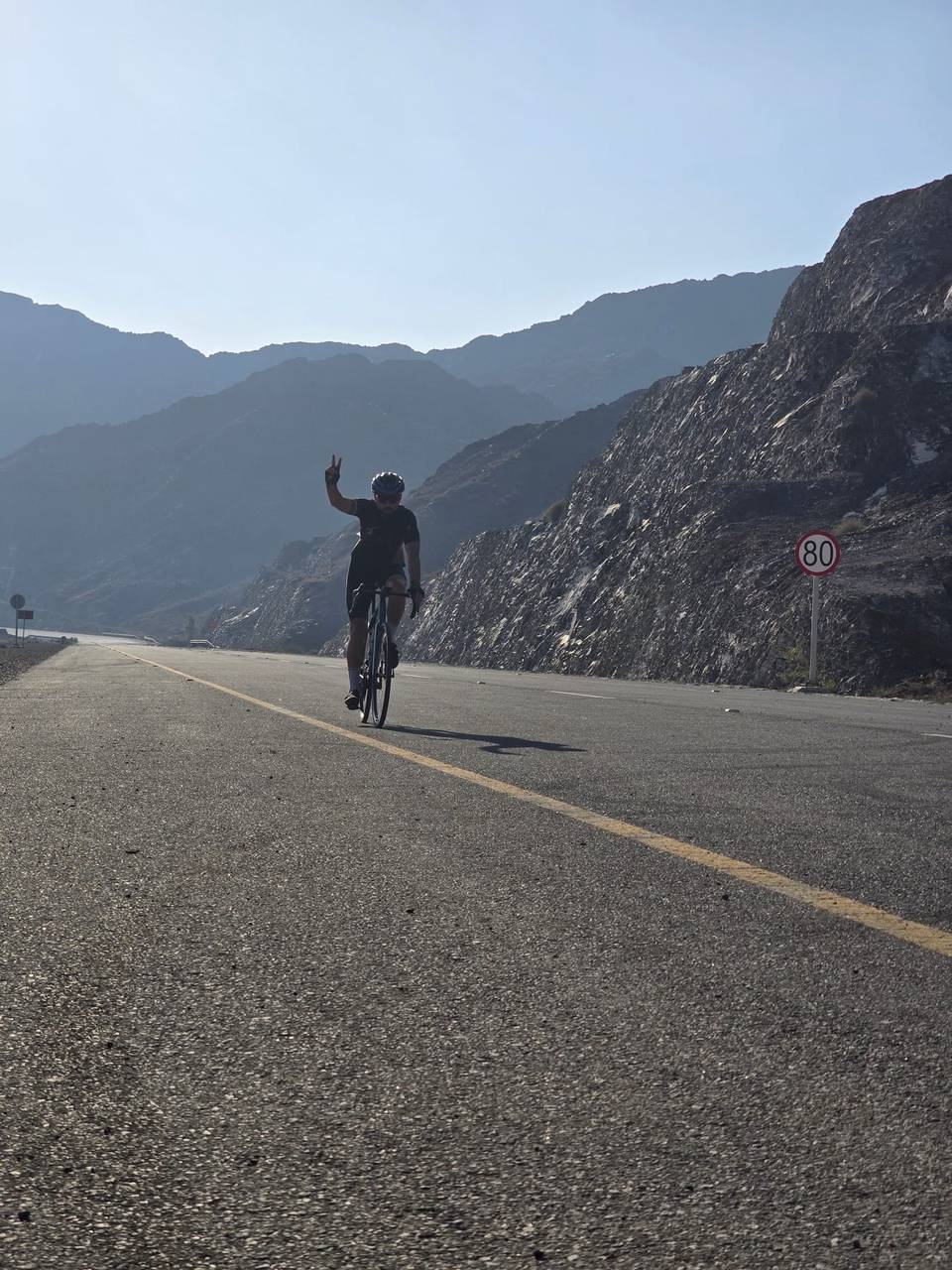
Road · United Arab Emirates
A hilly 117 km road cycling loop from Masafi, Fujairah through Shis, Al Burdi and Hajar Bani Hamid, with 1,616 m of climbing over Daftah climb (615 m) and Jabal Half. Most of it (105.7 km) is on main roads without a cycle lane, 64.6 km where the limit is 80 km/h or more. There is a 32 km stretch without a café, shop or water (km 32–65).
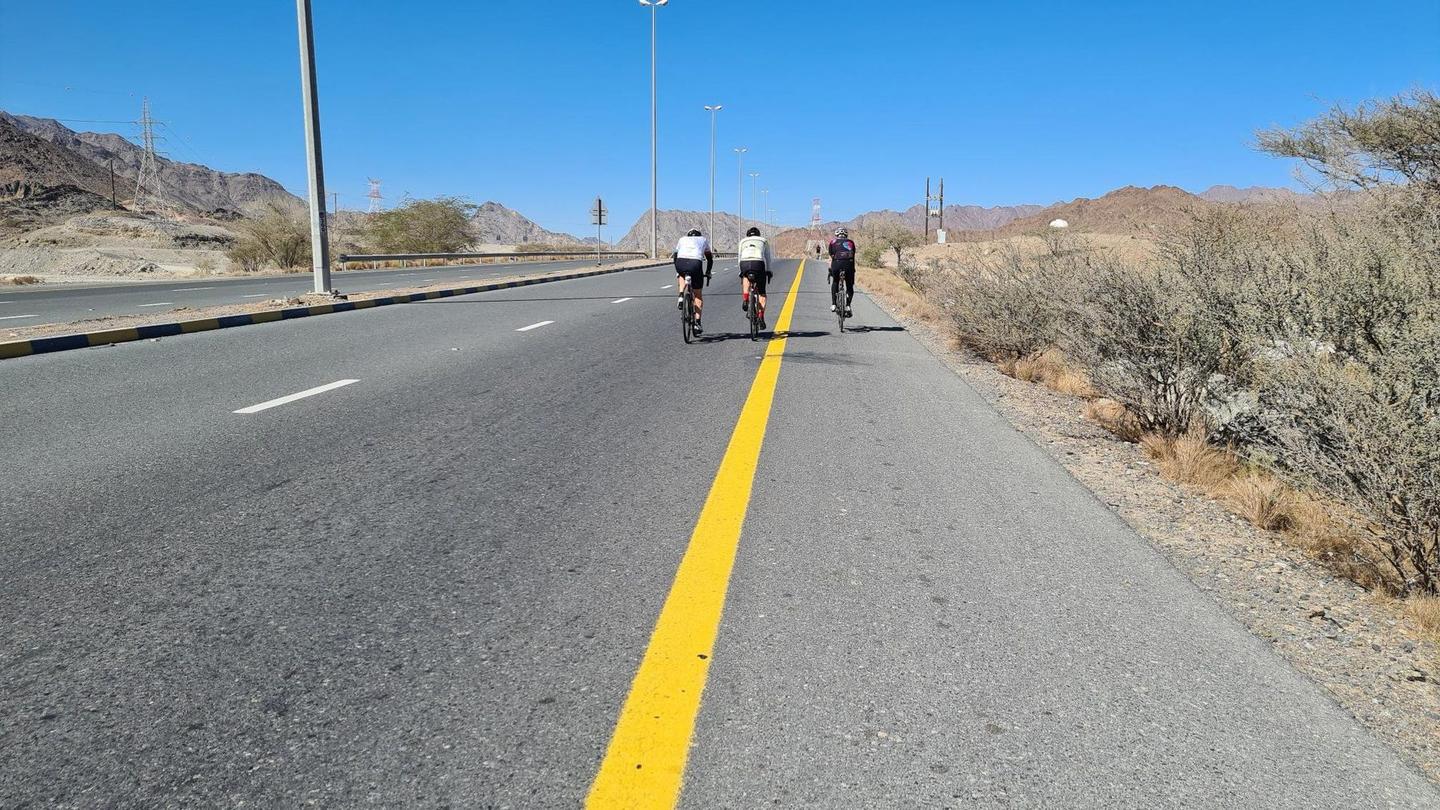
This 116.8 km loop starts and finishes in Masafi, riding through numerous towns including Shis at 11.6 km and Khor Fakkan at 26.5 km. The route features a total elevation gain of 279 m, with climbs spread out mostly in the first half including a 5 km climb beginning at 3.6 km that gains 225 m at 4.5% average gradient and a shorter but steeper climb of 0.8 km from 12.7 km at 5.3%.
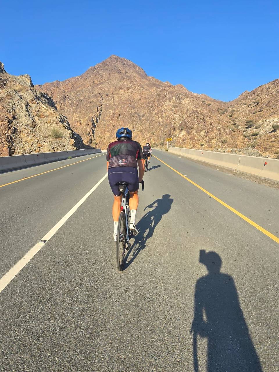
The road surface is 98% paved with no significant gravel sections. The route mainly follows major and main roads (63% and 29% respectively), with over 105 km on main roads but with no dedicated cycle lanes. There is a longest descent of 12.5 km starting near 58.9 km. The route passes beneath several peaks such as Jabal Daftah near km 10.5 and Jabal Salhal near km 109.2.
Facilities include a supermarket in Masafi at the start, petrol stations at km 0, 10.7, and 32.3, and cafés or restaurants at km 11.1, 24.2, and 67.7. There is a 32.4 km stretch without café, shop or water from km 32.3 to 64.7, with drinking water available at km 64.7 and km 111.3. Bailout is possible near Fujairah Station at km 82.1.
| Climb | Starts at | On this ride | Full ascent | Top on this ride |
|---|---|---|---|---|
| Daftah climb (615 m) | 3.6 km | 5 km · 225 m · 4.5 % · max 8.4 % | 7.4 km · 298 m · 4 % | 587 m |
| Unnamed climb | 12.7 km | 0.8 km · 44 m · 5.3 % · max 8 % | — | 573 m |
| Jabal Half | 36.7 km | 8.8 km · 355 m · 4 % · max 9.9 % | 8.7 km · 354 m · 4.1 % | 418 m |
| Unnamed climb | 52.7 km | 1.9 km · 45 m · 2.4 % · max 4.1 % | — | 401 m |
| Ishwais climb (243 m) | 82.5 km | 4.4 km · 236 m · 5.3 % · max 12.1 % | 4.5 km · 240 m · 5.3 % | 247 m |
| Unnamed climb | 103.8 km | 1.7 km · 40 m · 2.4 % · max 2.7 % | — | 268 m |
| Unnamed climb | 109.4 km | 5.5 km · 131 m · 2.4 % · max 3.4 % | — | 450 m |
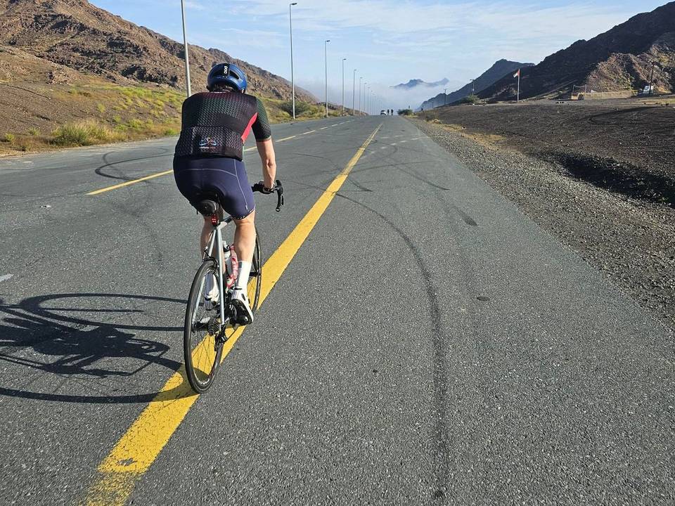
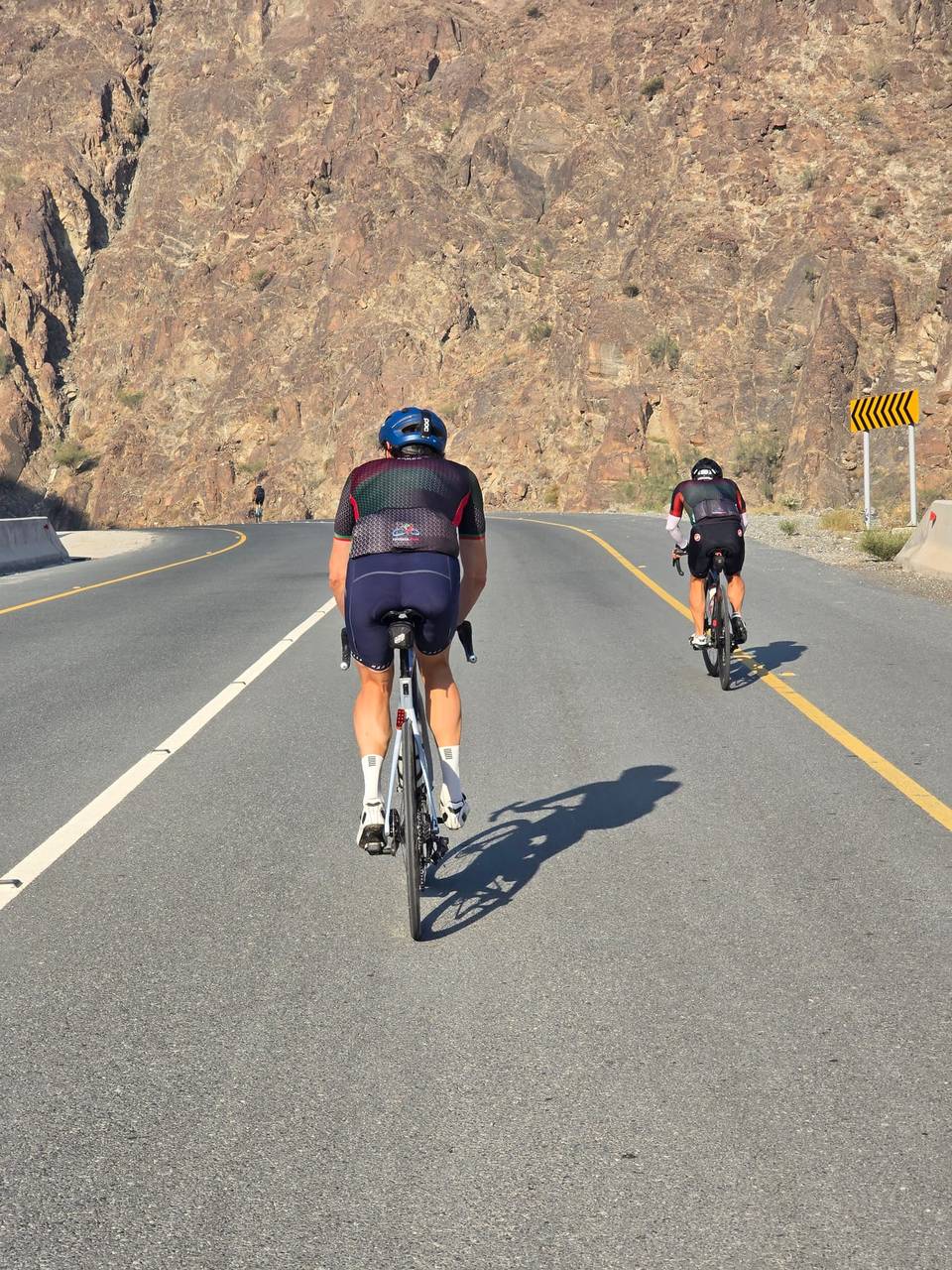
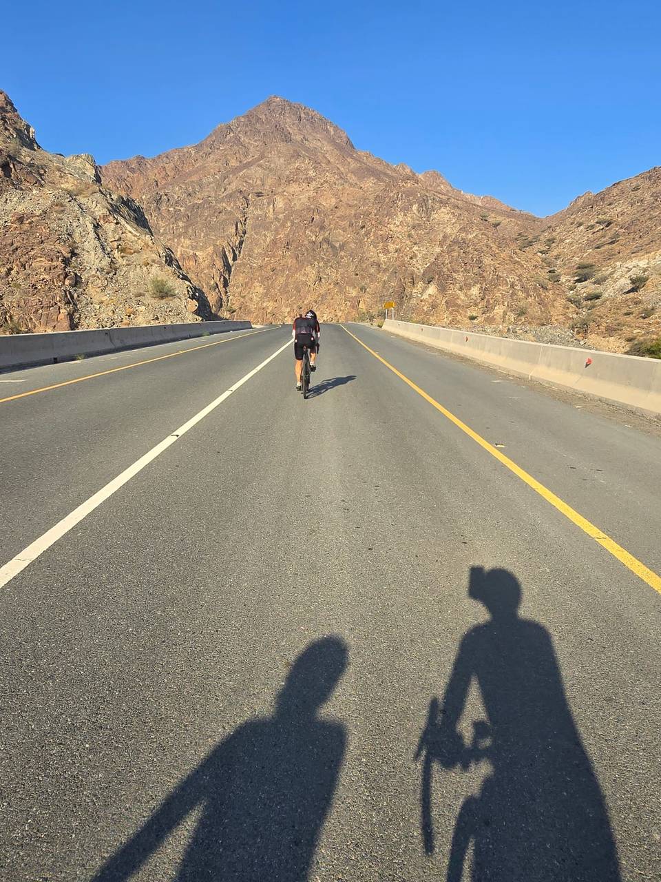
This is not a cycle-track route: 90% is on main roads without a cycle lane, 64.6 km of it where the limit is 80 km/h or more. Riders should be comfortable sharing the road with faster traffic.
The longest stretch without a café, shop or water is 32 km, from km 32 to 65. Along the route: 10 cafés and restaurants, 15 shops, 2 water points, 5 petrol stations and 4 public toilets.