Road · United Arab Emirates
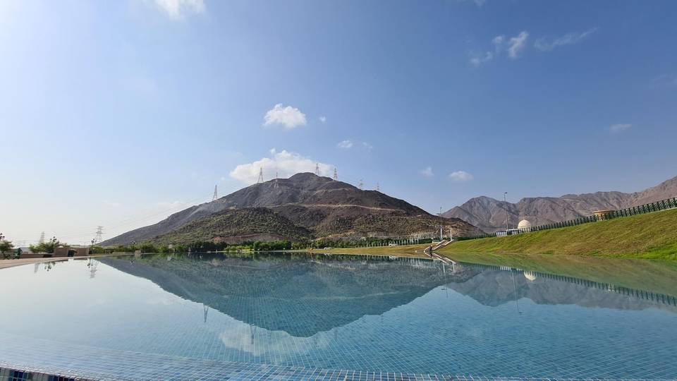
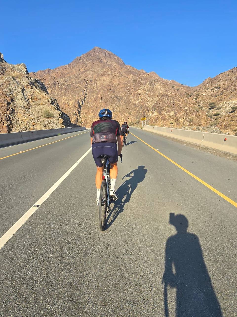
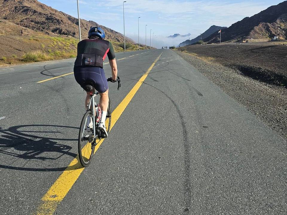
A mountainous 75 km road cycling route from Al Ghamarah, Sharjah through Daftah, Ar Rufaysah and Al Nahwa Old Hamlet, with 1,330 m of climbing over Daftah climb (615 m) and Jabal Half. Most of it (68.8 km) is on main roads without a cycle lane, 34.7 km where the limit is 80 km/h or more. There is a 24 km stretch without a café, shop or water (km 31–55).
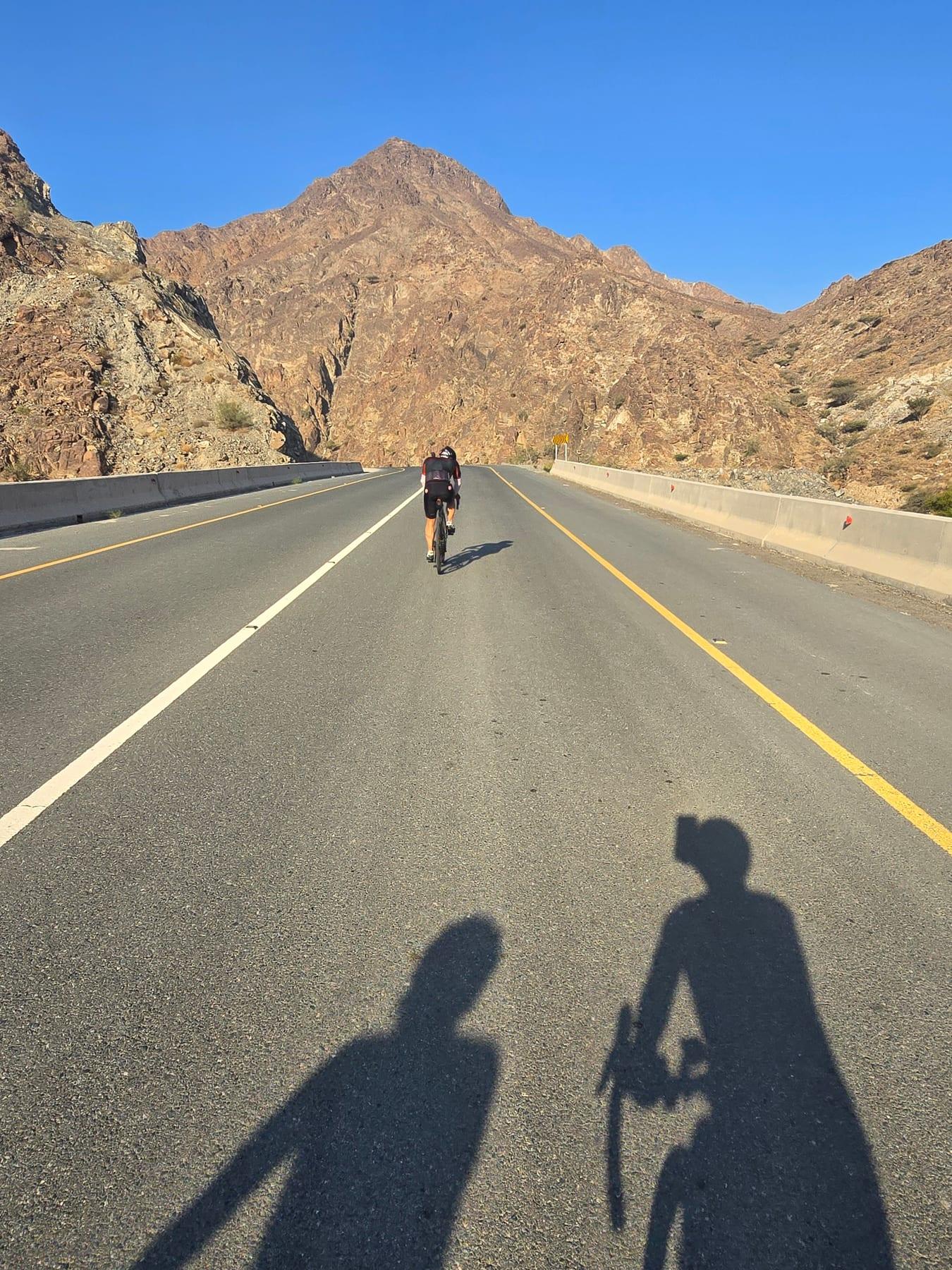
The ride starts at Al Ghamarah and passes Ghadf before climbing from 1.7 km for 5.4 km gaining 256 m at an average 4.7%, reaching 617 m. It continues through Daftah, Shis, and Ar Rufaysah with a short steep climb of 1.3 km at 6.9% average and max 19.1% around 10.8 km. Next the route passes Madha with a small climb of 2 km reaching 111 m and then a longer climb from 37.6 km for 6.3 km gaining 300 m at 4.8% average to 419 m elevation. The profile features 34% climbing, 36% descending, and 30% flat with the high point at 636 m around 7.2 km and the low at 10 m near 61.1 km.
| Climb | Starts at | On this ride | Full ascent | Top on this ride |
|---|---|---|---|---|
| Daftah climb (615 m) | 1.7 km | 5.4 km · 256 m · 4.7 % · max 12.2 % | 7.4 km · 298 m · 4 % | 617 m |
| Unnamed climb | 10.8 km | 1.3 km · 91 m · 6.9 % · steepest 500 m 7.1 % | — | 628 m |
| Unnamed climb | 35.3 km | 2 km · 46 m · 2.4 % · max 3.6 % | — | 111 m |
| Jabal Half | 37.6 km | 6.3 km · 300 m · 4.8 % · max 9.8 % | 8.7 km · 354 m · 4.1 % | 419 m |
| Unnamed climb | 66.5 km | 8.2 km · 423 m · 5.2 % · max 9.7 % | — | 455 m |
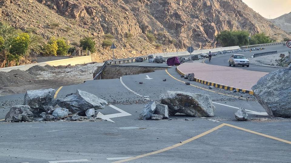
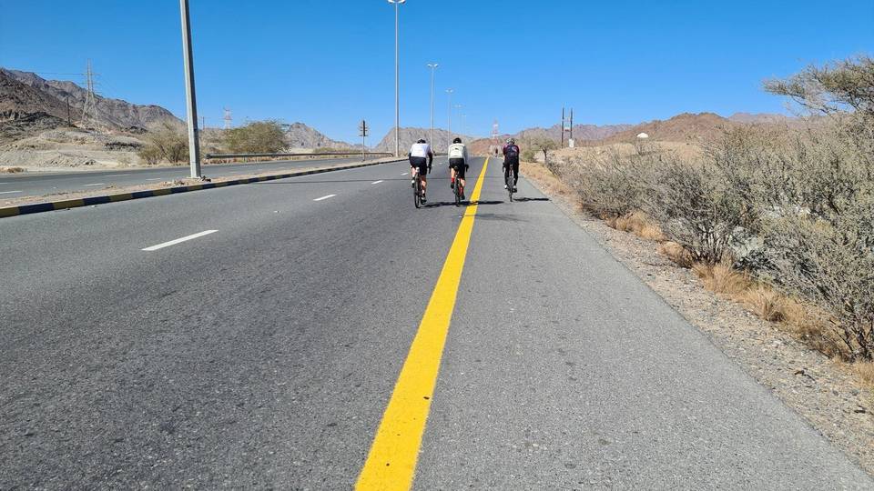
This is not a cycle-track route: 91% is on main roads without a cycle lane, 34.7 km of it where the limit is 80 km/h or more. Riders should be comfortable sharing the road with faster traffic.
The longest stretch without a café, shop or water is 24 km, from km 31 to 55. Along the route: 10 cafés and restaurants, 13 shops, 2 water points, 2 petrol stations and 4 public toilets.