Road · United Arab Emirates
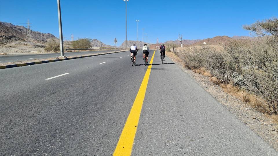
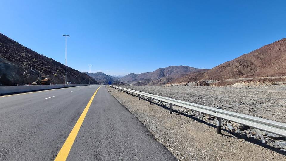
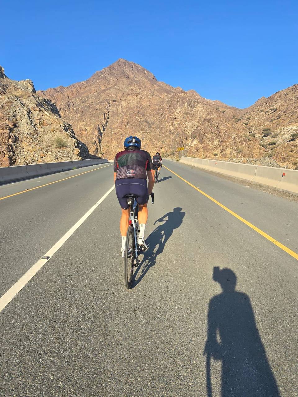
A rolling 101 km road cycling loop from Al Aqqah, Fujairah through Sharm, Al Mudaifi and Al Hutain, with 753 m of climbing over Jabal Half. Most of it (85.5 km) is on main roads without a cycle lane, 32.2 km where the limit is 80 km/h or more. There is a 31 km stretch without a café, shop or water (km 22–53).
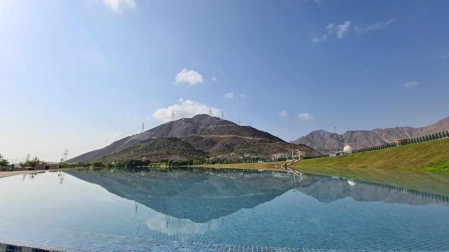
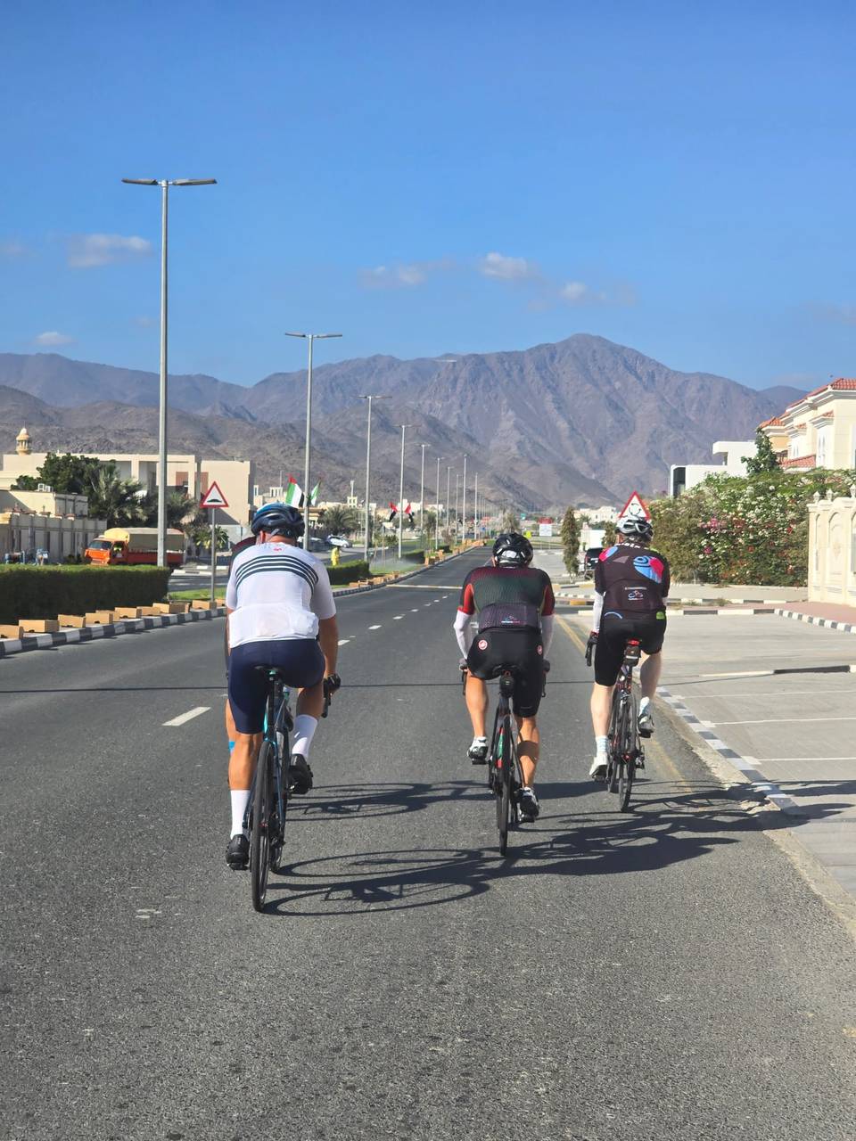
Starting in Al Aqah, the route heads north along the coast passing Sharm and Nehay, then moves inland through Al Mudaifi and Khor Fakkan. Early climbing is moderate with a 1.6 km ascent gaining 55 m from km 21.5. The main road mix includes 54 km of major roads and 31 km of main roads, mostly without cycle lanes. After Al Qadsia at km 22.3, there is a longest stretch of 30.8 km without café, shop, or water until about km 53.
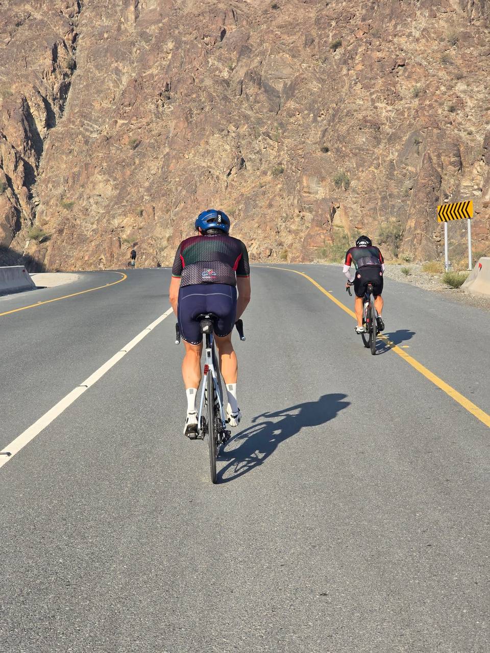
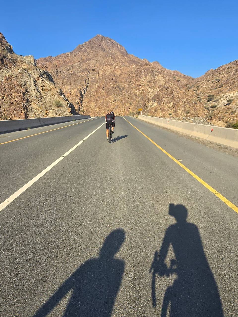
Between km 30.7 and 39.5, the route climbs 356 m over 8.8 km averaging 4.1%, reaching the highest point near 435 m at km 42.7. Following the peak, there is a long 9.3 km descent dropping 356 m. The route features paved surfaces (98%), some quiet streets (6%) and minor stretches on paths. It loops back through Madha and coastal towns including Lulayyah and Haqil before returning to Al Aqah.
Amenities are available at the start and finish with restaurants like estacoza seafood and Sapore. Other cafés and restaurants lie off route such as Ice Palace at km 8.7 and Lebannon Lights Bakery & Sweets at km 88.6. Toilets and some petrol stations appear along the route, but riders should plan for the significant stretch without services.
| Climb | Starts at | On this ride | Full ascent | Top on this ride |
|---|---|---|---|---|
| Unnamed climb | 21.5 km | 1.6 km · 55 m · 3.5 % · max 5.4 % | — | 70 m |
| Jabal Half | 30.7 km | 8.8 km · 356 m · 4.1 % · max 9.5 % | 8.7 km · 354 m · 4.1 % | 419 m |
| Unnamed climb | 59.7 km | 2 km · 54 m · 2.8 % · max 5 % | — | 66 m |
This is not a cycle-track route: 84% is on main roads without a cycle lane, 32.2 km of it where the limit is 80 km/h or more. Riders should be comfortable sharing the road with faster traffic.
The longest stretch without a café, shop or water is 31 km, from km 22 to 53. Along the route: 27 cafés and restaurants, 9 shops, 1 water point, 5 petrol stations, 8 public toilets and 1 bike shop.