Cyclists.com

Khor Fakkan Loop via Madha and Nahwa

Khor Fakkan, Sharjah, United Arab EmiratesRoad

Route contributed by Marcus · Created from a ride on Saturday 22nd March 2025

84 km
Distance
1,257 m
Elevation gain
Hard
Difficulty
Paved
Surface
Download GPXMap
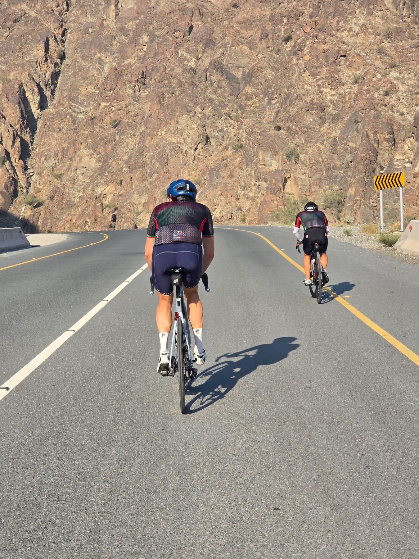
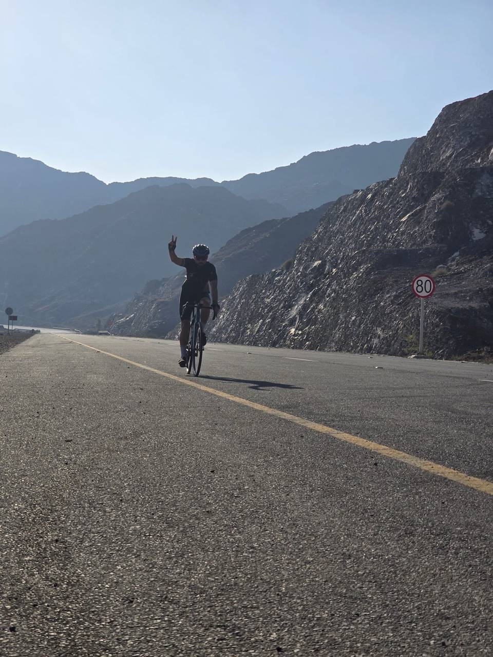
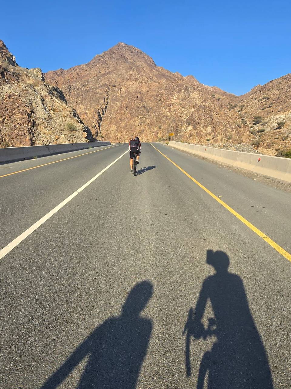
On the road: Khor Fakkan Loop via Madha and Nahwa

Elevation profile

Total ascent
1,257 m
Distance
84 km
0200400600m0 km20406084 km542 m · highest, at 77.5 kmStartFinish · back at the start

Route overview

Cyclists fit enough for 84 km with 1045 m climbing in mountainous terrain.

An 84 km loop starting and ending in Khor Fakkan, UAE, with 1045 m climbing in the Hajar Mountains.

This 84 km loop ride starts and finishes in Khor Fakkan, passing through places such as Ar Rufaysah at 2.1 km, Al Qadsia at 5 km, Madha at 13 km, and Nahwa at 22.3 km. The route covers a mix of main roads, major roads, quiet streets, and minor roads, with 97% paved surfaces. Notable climbs include a 6.9 km ascent from 14.3 km gaining 197 m at 2.9% average gradient, a steeper 4.7 km climb from 23.3 km rising 228 m at 4.8%, and a longer 10.6 km climb starting at 65.4 km with an average of 4.9% and max 13.5%, reaching the highest point at 547 m near 76 km.

Highlights

  • Climb ending at 547 m near 76 km
  • Longest descent of 10.9 km dropping 380 m
  • Passes through towns like Madha and Nahwa
  • Views near Jabal Half (569 m) at 28.2 km

Along the route

Measured from the recorded track and OpenStreetMap.

Places passed

  1. Ar Rufaysah 2.1 km
  2. Al Qadsia 5 km
  3. Madha 13 km
  4. Al Nahwa Old Hamlet 20.6 km
  5. Nahwa 22.3 km
  6. Sa‘d 23.8 km
  7. Hajar Bani Hamid 33.1 km
  8. Mirbah 48.6 km
  9. Al Musalla 54.9 km
  10. Al Burdi 55.8 km
  11. Al Khaledya 57.8 km
  12. Al Rifa'a 59.2 km
  13. Al Mudaifi 60.5 km
  14. Al Hayawah 64.2 km
  15. Khor Fakkan 64.9 km
  16. Al Hutain 65 km
  17. Al Yarmouk 65.6 km

Climbs

ClimbStarts atLengthGainAverageMaxTop
Madha climb14.3 km6.9 km197 m2.9 %5.8 %261 m
Jabal Half23.3 km4.7 km228 m4.8 %9.5 %419 m
33.1 km1.9 km45 m2.4 %3.7 %401 m
51.8 km2 km57 m2.8 %5 %71 m
65.4 km10.6 km517 m4.9 %13.5 %547 m

High point 547 m at 76 km; low point 2 m. Passes beneath Jabal al Qitayliyah, ‘Iqāb Shawābiq, Jabal al Ḩabillih.

Madha climb · starts at 14.3 km

7.1 km at 2.8% · 196 m
100150200250m1.8%3.7%3.2%2.0%4.9%0 km1234566.9 km256 msteepest 4.9%
< 4%4 – 7%7 – 10%> 10%

Jabal Half · starts at 23.3 km

8.7 km at 4.1% · 355 m
100150200250300350400m3.5%6.8%7.4%5.3%2.9%3.0%0 km123456788.8 km419 msteepest 7.4%

What this ride is like

Measured from OpenStreetMap along the track and the elevation profile.

Roads
43% main road · 40% major road · 8% quiet street · 6% minor road · 1% unmapped
Main roads
68.2 km on main roads without a cycle lane — likely busier
Fast roads
23.4 km on roads with a limit of 80 km/h or more
Cycle paths
1 km on cycle paths or roads with a cycle lane
Main roads used
Madha Road (28 km), Khorfakkan Road (15 km), E199 (8 km), Madha - Al Qitaylah Road (3 km)
Surface
Paved throughout
Gradient
34% climbing · 33% descending · 33% flat
Steep sections
7.7 km over 5% · 2.5 km over 8% · 0.6 km over 10% · steepest 500 m averages 16.2% at 0 km
Longest descent
10.9 km from 38.7 km, dropping 380 m

Along the way

Within a few hundred metres of the track, from OpenStreetMap. Opening hours change — treat this as where to look, not a promise.

Longest stretch without a café, shop or water: 35 km, from 10 km to 45 km.

Food, water and shops

  1. 1.4 kmWishi · restaurant · 100 m off route
  2. 8.1 kmToilets · 120 m off route
  3. 9.6 kmAl Madha Petrol · petrol station · 70 m off route
  4. 44.8 kmDrinking water · on the route
  5. 48.1 kmCafé · 60 m off route
  6. 52.8 kmToilets · 60 m off route
  7. 55.1 kmin minde cafe · café · 380 m off route
  8. 59.7 kmAl Safeer Centre · supermarket · 180 m off route
  9. 60 kmCafteria Al Shabab · café · 50 m off route
  10. 60.2 kmBin Moosa Medical Pharmacy · pharmacy · 90 m off route
  11. 61.6 kmADNOC · petrol station · 50 m off route
  12. 65.5 kmWadi Al Arayesh · restaurant · 390 m off route
  13. 69.6 kmSharjah Coop · supermarket · on the route

Worth a stop

  • 60.3 kmKhorfakkan Beach (picnic site)
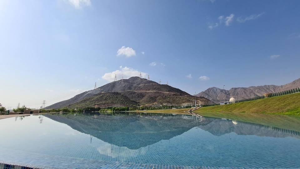
  • 69.5 kmReservoir. Observation deck (viewpoint)

At the start and finish

  • Sharjah Coop · supermarket · 170 m

Practical information

Surface
Paved
Route shape
Loop
Riding time
3½–5 hours riding
Season
March with temperatures around 30°C.
Best months
Nov to Mar — daily highs of 22–28 °C in those months

Know before you go

  • 35.2 km longest stretch without café, shop, or water from 9.6 to 44.8 km
  • 68.2 km on main roads without cycle lanes
  • 23.4 km on roads with speed limits of 80 km/h or more

Routes are for inspiration. Roads, surfaces and conditions change — check locally and ride within your limits.

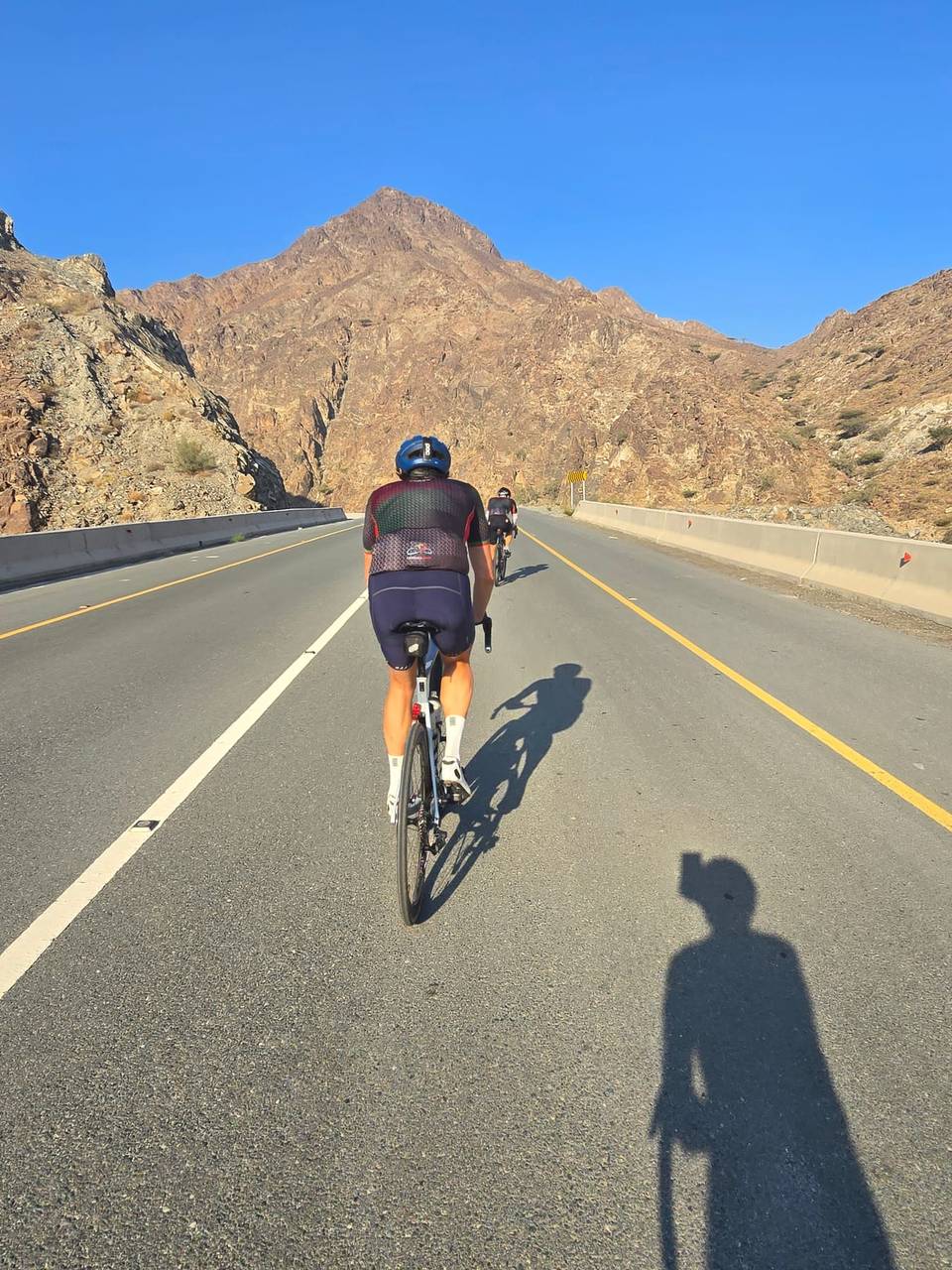
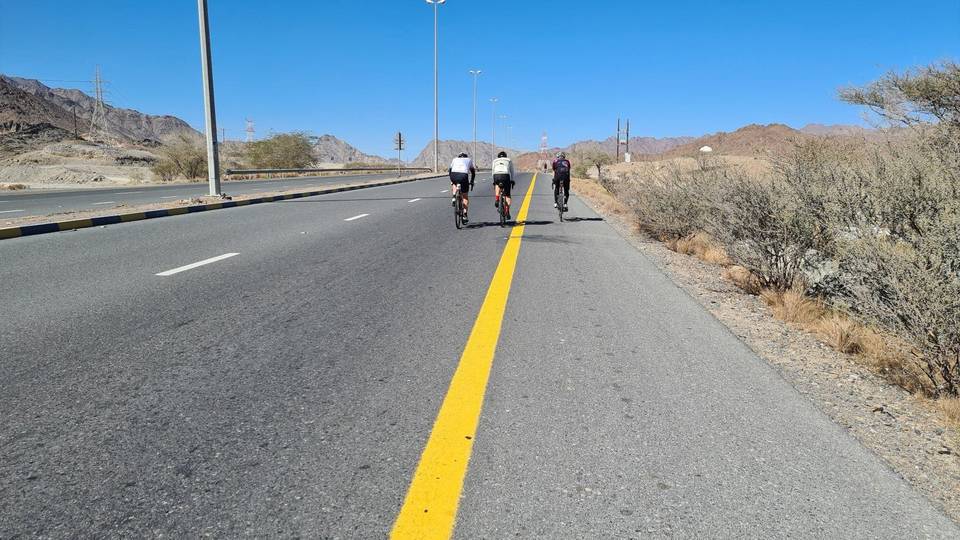
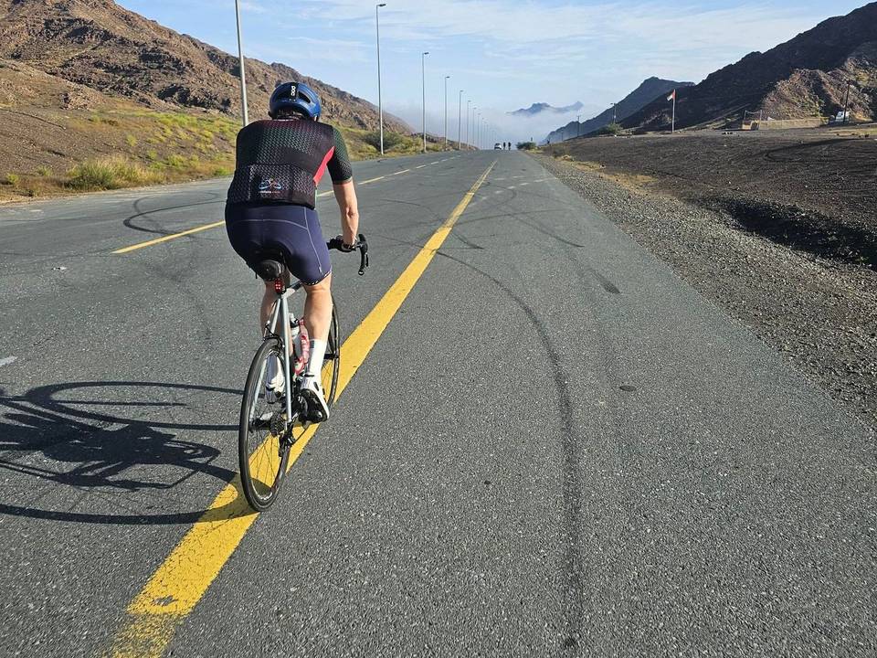
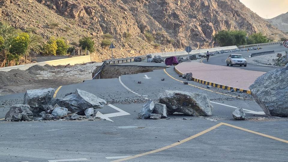
15 photographs from the road

More rides from Khor Fakkan