Cyclists.com

An Out and Back Route from Shees Rest Area

74 km road cycling loop1,232 m climbing4–6 hoursGPX

Khor Fakkan, Sharjah, United Arab Emirates · Road

A mountainous 74 km road cycling loop from Khor Fakkan, Sharjah through Ghadf, Al Khalabiya and Yalah, with 1,232 m of climbing over Daftah climb (744 m). Most of it (39.9 km) is on main roads without a cycle lane, 32 km where the limit is 80 km/h or more. There is a 42 km stretch without a café, shop or water (km 14–56).
Route contributed by Marcus · Created from a ride on Saturday 24th October 2026

Download GPXMap

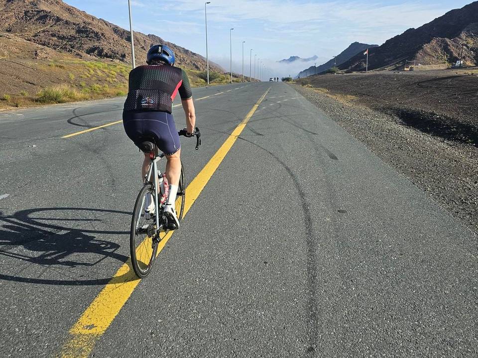
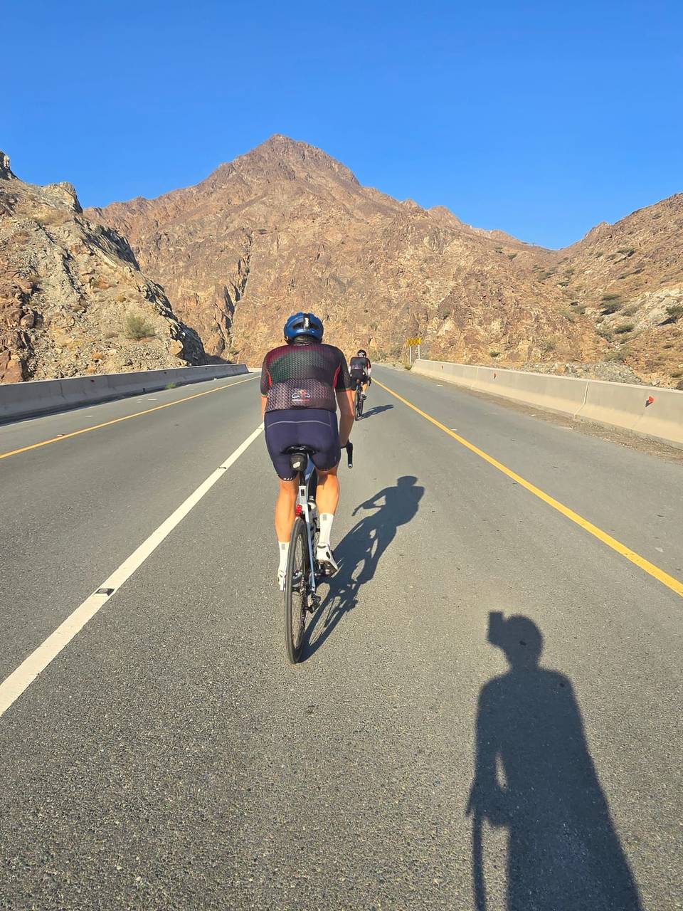
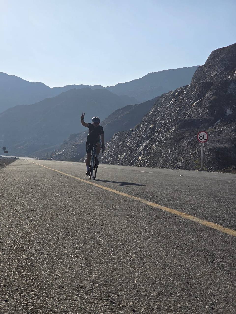
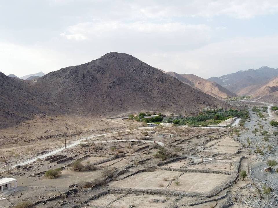
6 photographs from the road

Videos from this Ride

  • A short climb at the start of the return leg. · 0:38

At a glance

Best for
Short, climbing-heavy rides for confident riders at ease in traffic
Distance
73.8 km
Loop
Elevation gain
1,232 m
17 m per km
Riding time
4–6 hours
moving time, estimated
Difficulty
Moderate
Bike
Colnago V5RS
as ridden
Surface
Paved
99% paved · 1% unpaved
Traffic
Mostly main roads
39.9 km on main roads without a cycle lane · 32 km where the limit is 80 km/h or more
Food & water
Longest gap 42 km
11 cafés and restaurants · 14 shops · 2 water points · 2 petrol stations · 3 public toilets
Best months
Nov to Mar
Khor Fakkan climate, 10 years
Navigation
GPX download
free, no sign-in
Start and finish
Khor Fakkan

Map and elevation profile

On the road: An Out and Back Route from Shees Rest Area, Khor Fakkan

Elevation profile

Total ascent
1,232 m
Distance
74 km
0200400600800m0 km20406074 km759 m · highest, at 71.6 kmStartFinish · back at the start

What it was like to ride

Route description

  1. Khor Fakkan
  2. Ghadfkm 9
  3. Al Khalabiyakm 20
  4. Yalahkm 25
  5. شعبيات قبر اليهوديkm 28
  6. Al Jaroofkm 35
  7. Al Tayyibahkm 49
  8. Daftah climb (744 m)km 64
  9. Daftahkm 64
  10. Khor Fakkankm 74

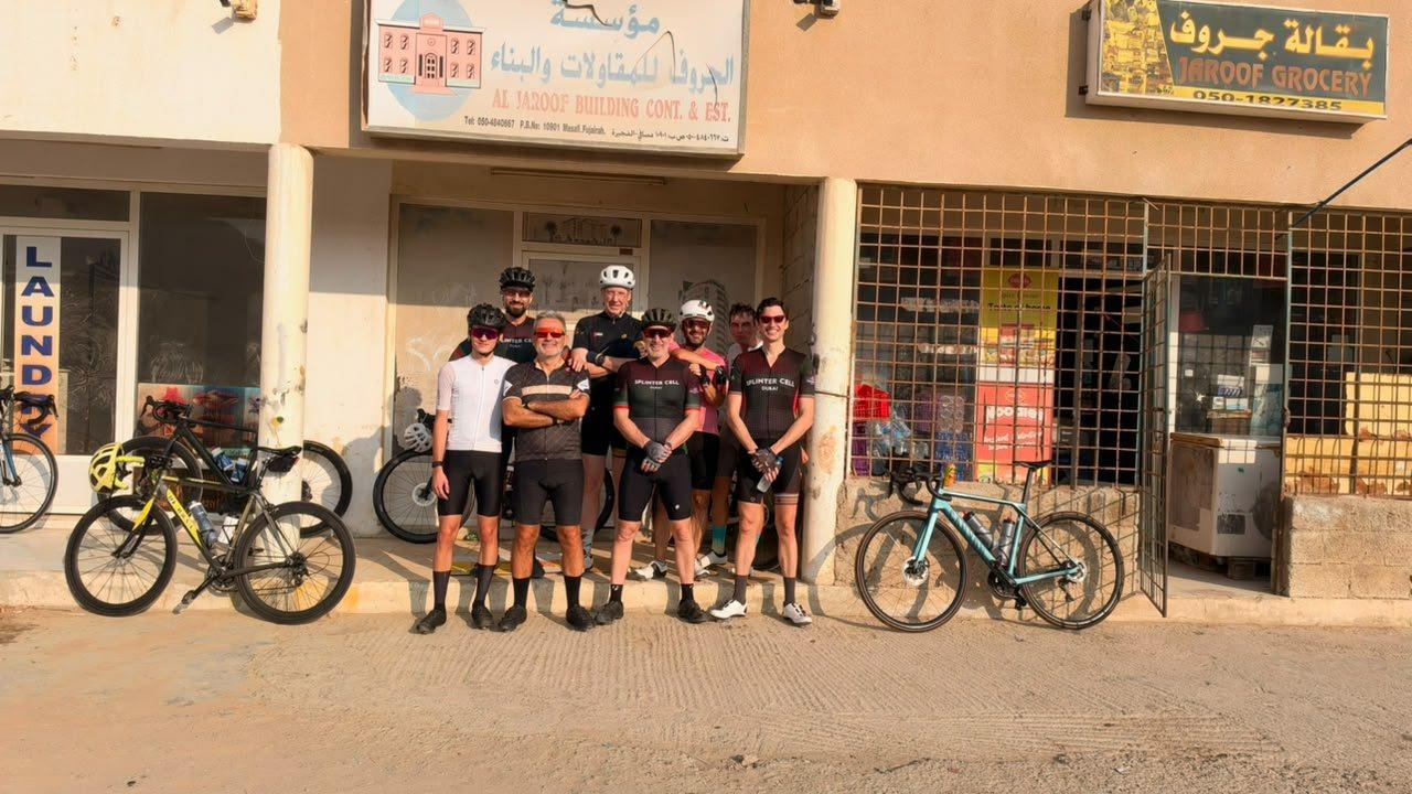
A 74km route that starts at the Shees rest area just beyond the first tunnel on the road to Khor Fakkan. Heads through Masafi and on to a quiet, winding road that ends in a small village called Al Jaroof. There's a grocery store there for refreshements. Just be aware that they only accept cash.

Why ride this route?

  • The shortest of the 7 rides from Khor Fakkan, yet it climbs 1,232 m.
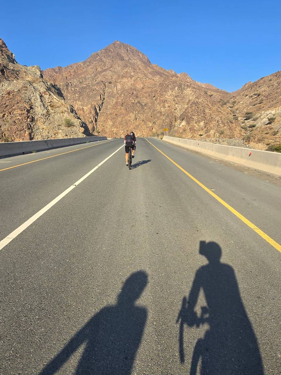
  • Climbs Daftah climb (744 m) (6.3 km at 6.4 %).
  • Tops out at 768 m, 1 km in.
  • A 6 km descent dropping 384 m.

Along the route

Measured from the route line, the Copernicus elevation model and OpenStreetMap.

Places passed

  1. Ghadf 8.5 km
  2. Al Ghamarah 9.6 km
  3. Al Khalabiya 20.4 km
  4. Al Baha 20.7 km
  5. Yalah 24.5 km
  6. Sha'biyyat Qabr al Yahūdī 28.2 km
  7. شعبيات قبر اليهودي 28.2 km
  8. Sidr 30.9 km
  9. Al Jaroof 35.3 km
  10. Ash Shubah 43.2 km
  11. Al Tayyibah 48.5 km
  12. Masafi 59.7 km
  13. Daftah 64.3 km

Climbs

Climbs in ride order: where each starts, what this ride climbs, and the full named ascent
ClimbStarts atOn this rideFull ascentTop on this ride
Unnamed climb0 km1 km · 198 m · 20 % · max 28.2 %—768 m
Unnamed climb7.1 km4.7 km · 137 m · 2.9 % · max 6.6 %—497 m
Unnamed climb23.8 km1.5 km · 54 m · 3.6 % · max 6.1 %—518 m
Unnamed climb35.1 km1.4 km · 59 m · 4.2 % · max 7.6 %—438 m
Unnamed climb40.3 km2.8 km · 65 m · 2.3 % · max 2.9 %—438 m
Unnamed climb43.2 km1.8 km · 81 m · 4.5 % · max 7 %—519 m
Daftah climb (744 m)63.8 km6.3 km · 402 m · 6.4 % · steepest 500 m 7.6 %6.3 km · 402 m · 6.4 %763 m

High point 768 m at 1 km; low point 359 m. Passes beneath Jabal Shemah, Jabal Daftah.

On this ride: the part this route climbs, cut from its own elevation profile. Full ascent: the whole named climb, measured the same way on every ride that uses it (its climb page).

A point maximum far steeper than the climb’s average is usually an elevation-data spike, so the steepest 500 m of the profile is shown instead (or nothing, where the profile is too coarse).

Daftah climb (744 m) · full ascent, starts at 63.7 km

6.3 km at 6.4% · 402 m
400450500550600650700m3.6%5.9%8.3%11%11%0 km123456.3 km763 msteepest 11.3%
< 4%4 – 7%7 – 10%> 10%

Traffic, surface and gradient

Measured from OpenStreetMap along the track and the elevation profile.

This is not a cycle-track route: 54% is on main roads without a cycle lane, 32 km of it where the limit is 80 km/h or more. Riders should be comfortable sharing the road with faster traffic.

Roads
55% major road · 42% minor road · 3% quiet street
Main roads
39.9 km on main roads without a cycle lane — likely busier
Fast roads
32 km on roads with a limit of 80 km/h or more
Main roads used
Masafi-Dibba Road (18 km), Khorfakkan Road (11 km), Sheikh Maktoum Bin Rashid Al Maktoum Road (6 km)
Surface
Paved: 99% of the route is mapped as paved, 1% as unpaved.
Gradient
33% climbing · 34% descending · 33% flat
Steep sections
5.7 km over 5% · 2.2 km over 8% · 1.6 km over 10%
Longest descent
6 km from 1 km, dropping 384 m

Food, water and services

Within a few hundred metres of the track, from OpenStreetMap. Opening hours change — treat this as where to look, not a promise.

The longest stretch without a café, shop or water is 42 km, from km 14 to 56. Along the route: 11 cafés and restaurants, 14 shops, 2 water points, 2 petrol stations and 3 public toilets.
Food, water and shops in ride order

  1. 9.6 kmAl Aswaq · supermarket · 50 m off route
  2. 13.5 kmAl Dahreez · bakery · 50 m off route
  3. 55.8 kmSupermarket · 60 m off route
  4. 57 kmAden Mandi Restaurant · restaurant · on the route
  5. 57.4 kmADNOC · petrol station · on the route
  6. 60.3 kmMasafi Hospital · hospital · 170 m off route
  7. 63.8 kmDrinking water · 170 m off route
  8. 71 kmEmarat · petrol station · on the route
  9. 71.3 kmMohamed Al Yoha Supermarket · supermarket · 30 m off route
  10. 72.1 kmGerard · café · 90 m off route
  11. 72.1 kmDrinking water · 40 m off route
  12. 72.1 kmToilets · 50 m off route

Start and access

Starts and finishes at Khor Fakkan. Mapped within a short walk of the start, from OpenStreetMap.

Where to start · Marcus
Shees parking area
Parking · Marcus
Shees parking area. It's not free. Paid parking starts from 8am. Use your mobile to buy a ticket.

At the start and finish

Food and coffee
Alsad Ice Cream - Branch 2 (240 m), Tazej & Khafif Cafeteria (150 m), Lemon & Nenaa Cafeteria (210 m)
Shops
Mohamed Al Yoha Supermarket (220 m)

Know before you go

  • 42.3 km longest stretch without café, shop or water from km 13.5 to 55.8
  • 39.9 km on main roads without a cycle lane
  • 32 km on roads with posted limits 80 km/h or more
  • 1% gravel or unpaved surface

Routes are for inspiration. Roads, surfaces and conditions change — check locally and ride within your limits.

About this route

Ridden by
Marcus
Date ridden
Route line
Built from a GPS recording of the ride.
Elevation
Recalculated from the Copernicus GLO-90 terrain model every 50 m, not the device’s barometer.
Roads, surface, services
Measured along the line from OpenStreetMap extracts.
Best months
Ten years of ERA5 weather for Khor Fakkan (Open-Meteo).
GPX
Generated from the route line: track points only, no timestamps or personal data.
Page added
Page last updated

See something wrong with this ride?

Also over Daftah climb (744 m)

Similar length from Khor Fakkan

More climbing