Road · United Arab Emirates
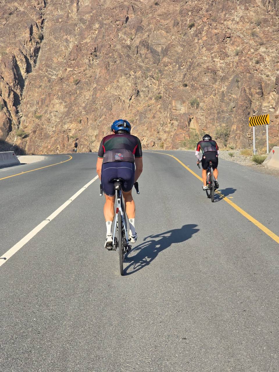
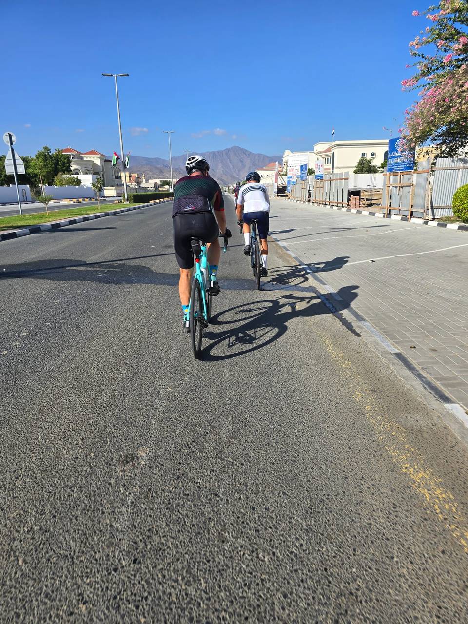
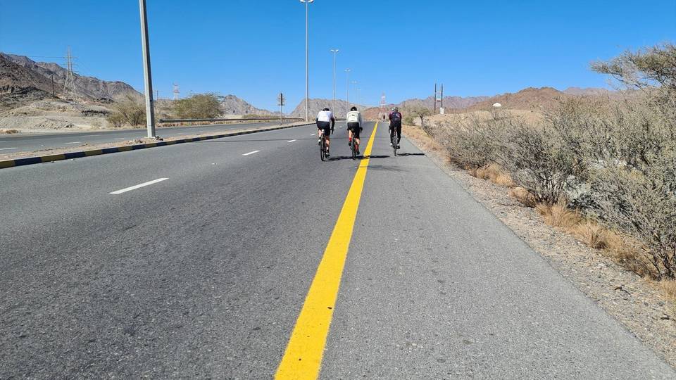
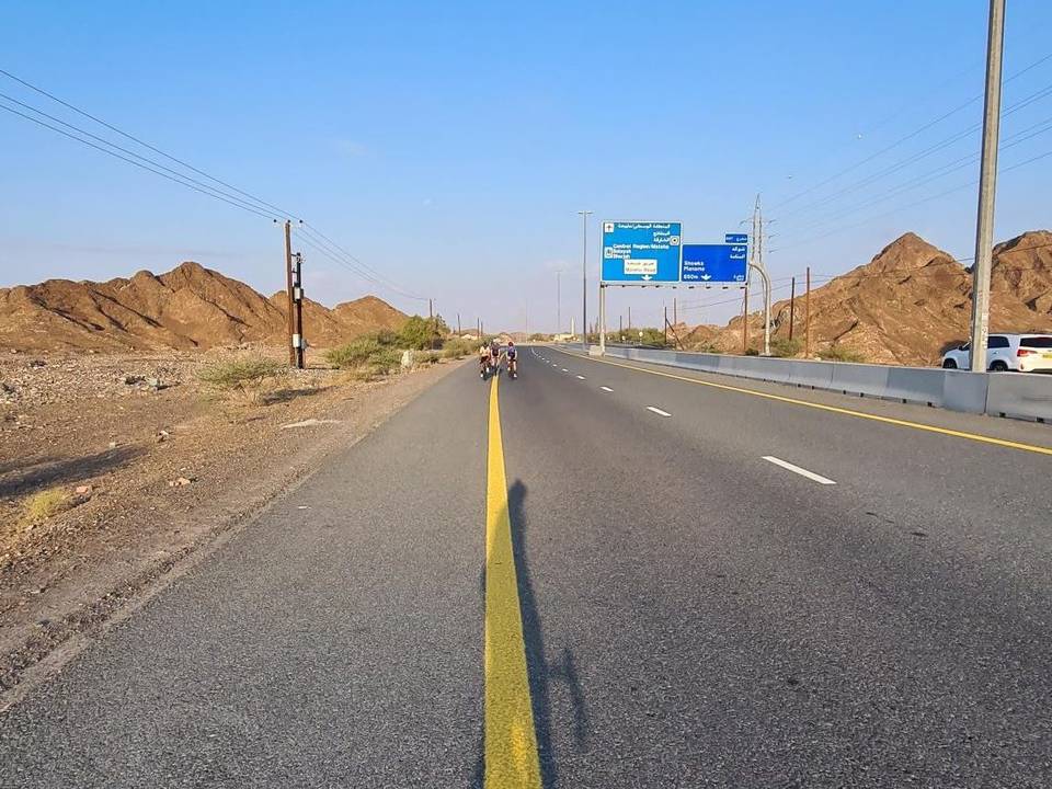
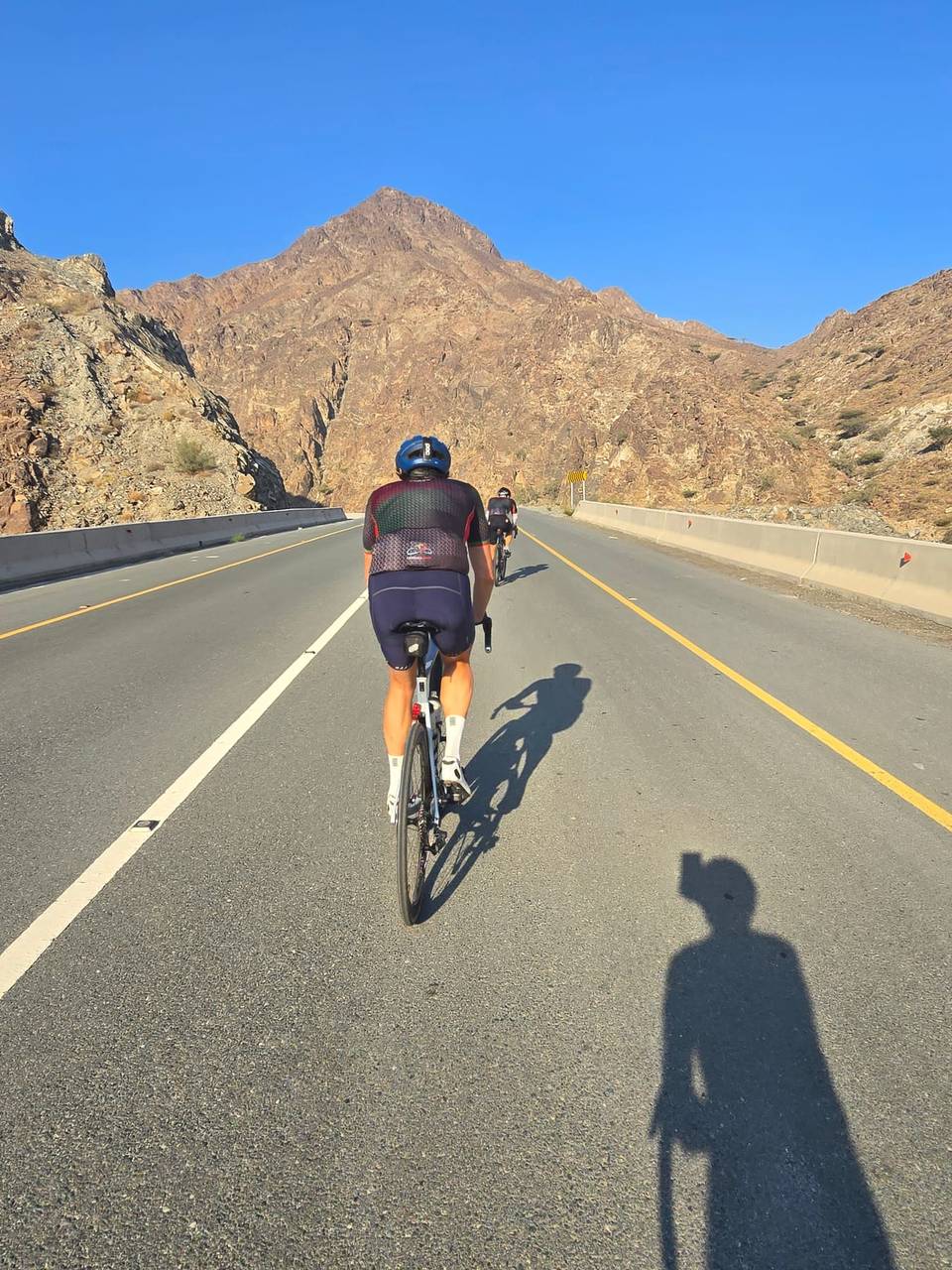
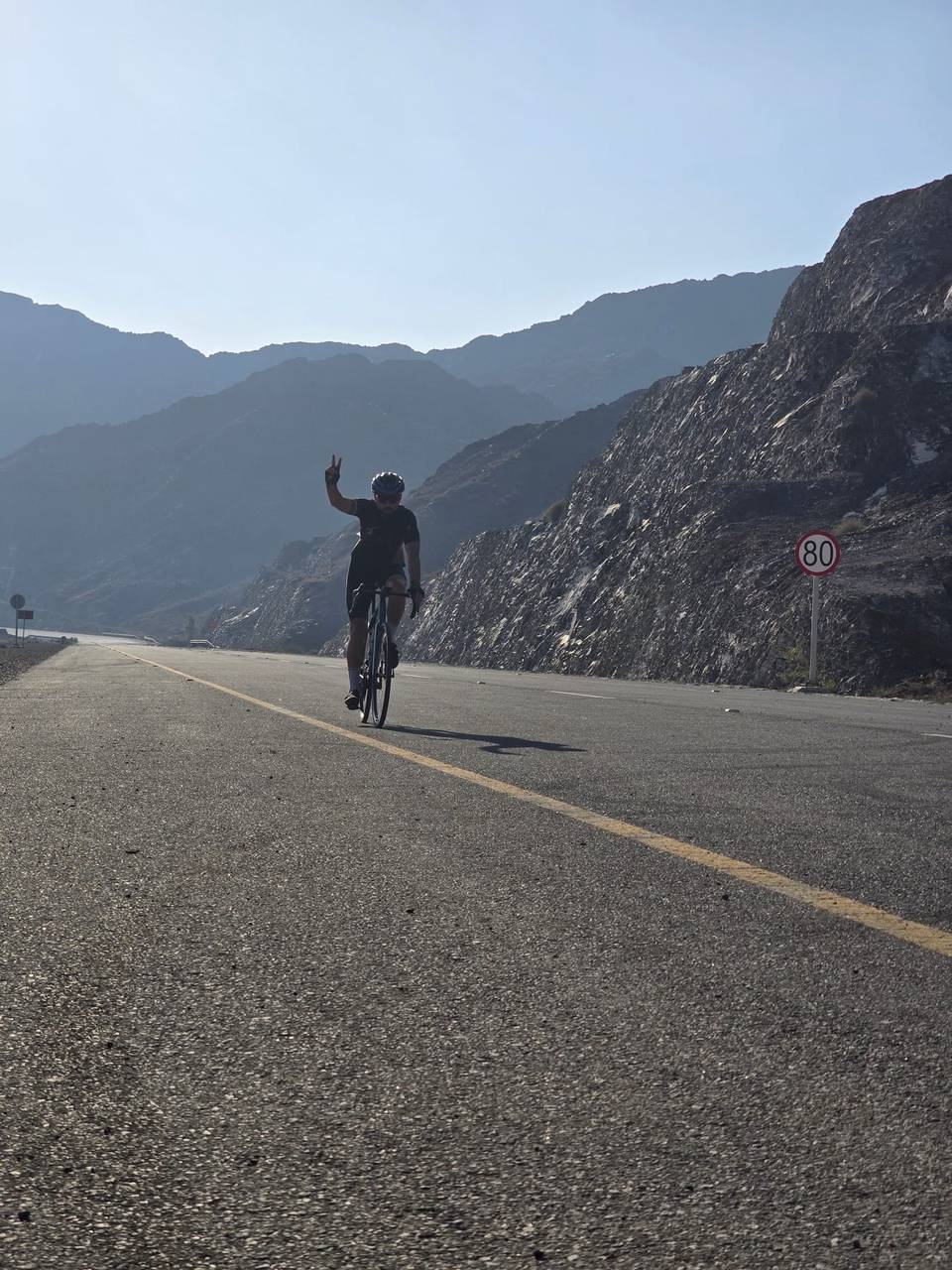
A hilly 109 km road cycling loop from Khor Fakkan, Sharjah through Ar Rufaysah, Al Qadsia and Qurayyah, with 1,373 m of climbing over Ishwais climb (243 m) and Daftah climb (615 m). Most of it (81.9 km) is on main roads without a cycle lane, 58 km where the limit is 80 km/h or more. There is a 35 km stretch without a café, shop or water (km 57–93).
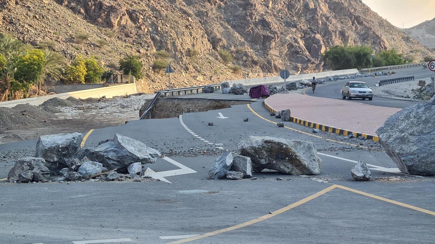
Starting in Khor Fakkan at 18.7 km, the route includes a climb beginning at 1.9 km lasting 1.4 km with an average gradient of 3.5%, reaching 607 m. It descends before a second climb starts at 22.2 km with 53 m gained over 1.8 km. From 31.1 km there's a longer ascent over 7.1 km with a 195 m gain. Another climb begins at 44.1 km, then a more significant climb starts at 68.8 km covering 4.6 km with a 241 m gain and max gradient 13.1%. Near the end, from 90.4 km and 95.9 km there are two climbs totaling nearly 9 km and almost 334 m gained, including max gradients up to 10.4%.
| Climb | Starts at | On this ride | Full ascent | Top on this ride |
|---|---|---|---|---|
| Unnamed climb | 1.9 km | 1.4 km · 50 m · 3.5 % · max 11.1 % | — | 607 m |
| Unnamed climb | 22.2 km | 1.8 km · 53 m · 2.9 % · max 5.4 % | — | 68 m |
| Madha climb | 31.1 km | 7.1 km · 195 m · 2.8 % · max 5.8 % | 6.9 km · 197 m · 2.9 % | 258 m |
| Unnamed climb | 44.1 km | 2.7 km · 56 m · 2.1 % · max 3.3 % | — | 161 m |
| Ishwais climb (243 m) | 68.8 km | 4.6 km · 241 m · 5.3 % · max 13.1 % | 4.5 km · 240 m · 5.3 % | 248 m |
| Ishwais climb (248 m) | 69.1 km | — | 4.4 km · 238 m · 5.4 % | 248 m |
| Unnamed climb | 90.4 km | 1.8 km · 41 m · 2.3 % · max 2.7 % | — | 269 m |
| Daftah climb (615 m) | 95.9 km | 7.3 km · 293 m · 4 % · max 10.4 % | 7.4 km · 298 m · 4 % | 610 m |
This is not a cycle-track route: 75% is on main roads without a cycle lane, 58 km of it where the limit is 80 km/h or more. Riders should be comfortable sharing the road with faster traffic.
The longest stretch without a café, shop or water is 35 km, from km 57 to 93. Along the route: 18 cafés and restaurants, 18 shops, 3 water points, 3 petrol stations and 6 public toilets.