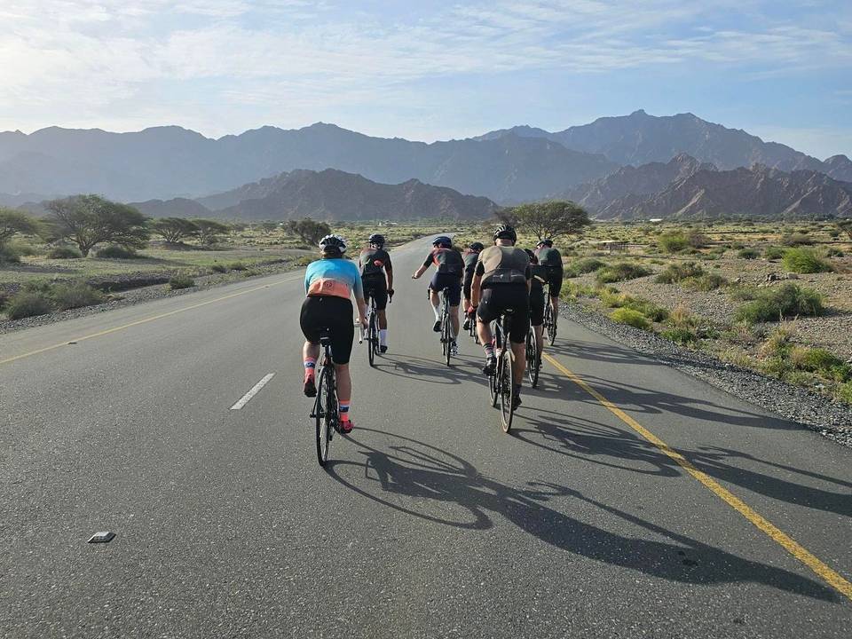
Road · United Arab Emirates
A hilly 87 km road cycling loop from Khor Fakkan, Sharjah through Ghadf, Ash Shubah and Al Wahi, with 1,264 m of climbing over Al Ghūnah climb (506 m) and Daftah climb (615 m). Most of it (46 km) is on main roads without a cycle lane, 28.9 km where the limit is 80 km/h or more. There is a 58 km stretch without a café, shop or water (km 17–75).
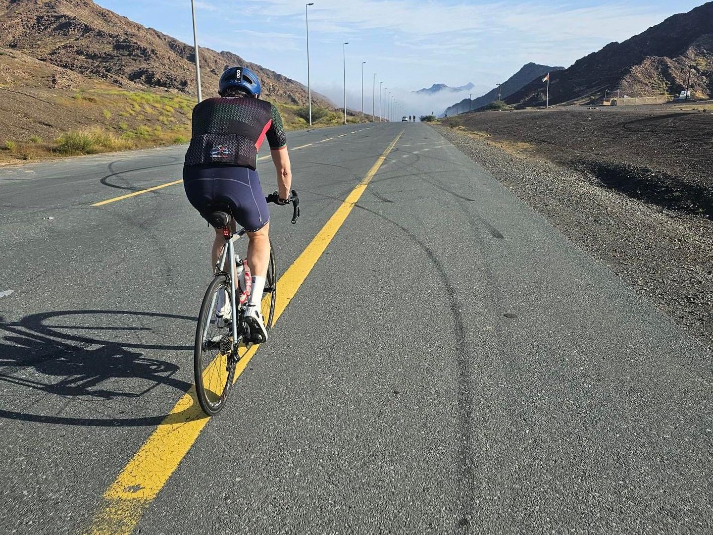
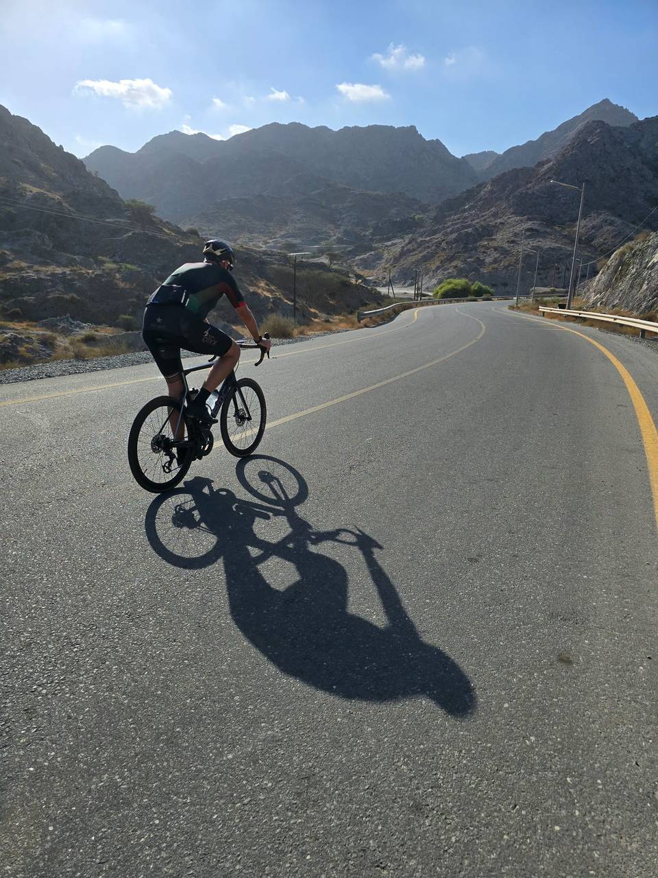
This 86.5 km loop ride starts and finishes in Khor Fakkan, climbing 1229 m through the Hajar Mountains. The climb begins immediately with 4 km at 4.9% average to 615 m. The route passes through several places including Ghadf at 10.9 km, Al Ghūnah at 25.9 km, Masafi at 70.6 km, and Shis at 84.2 km. The highest point on the route is 639 m at 80.2 km. The profile features several shorter climbs: a 4.7 km climb starting at 9.3 km at 2.9%, a 2.4 km climb at 7.5% from 25.9 km, and a 5.4 km climb at 4.7% near the end from 74.6 km.
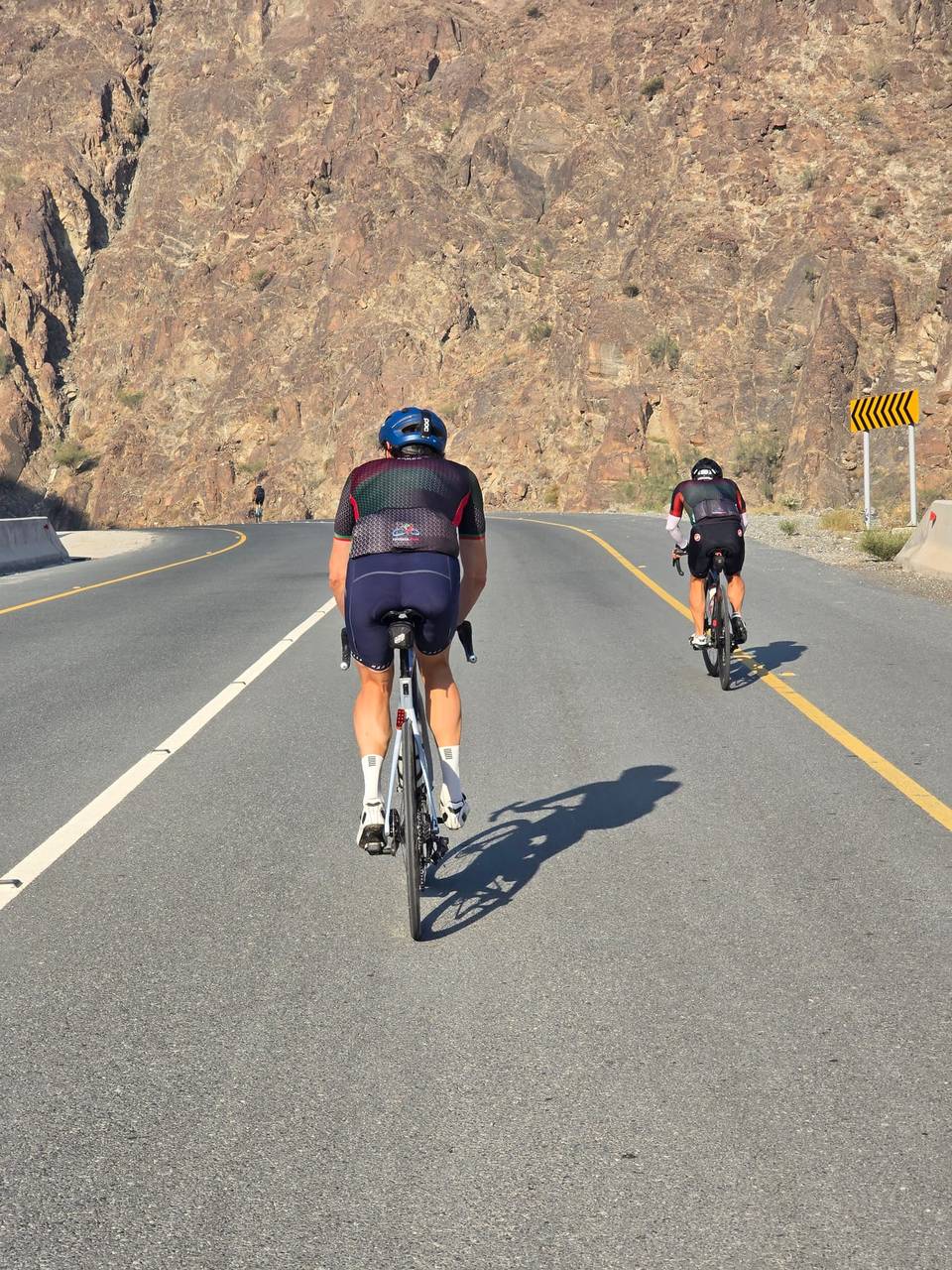
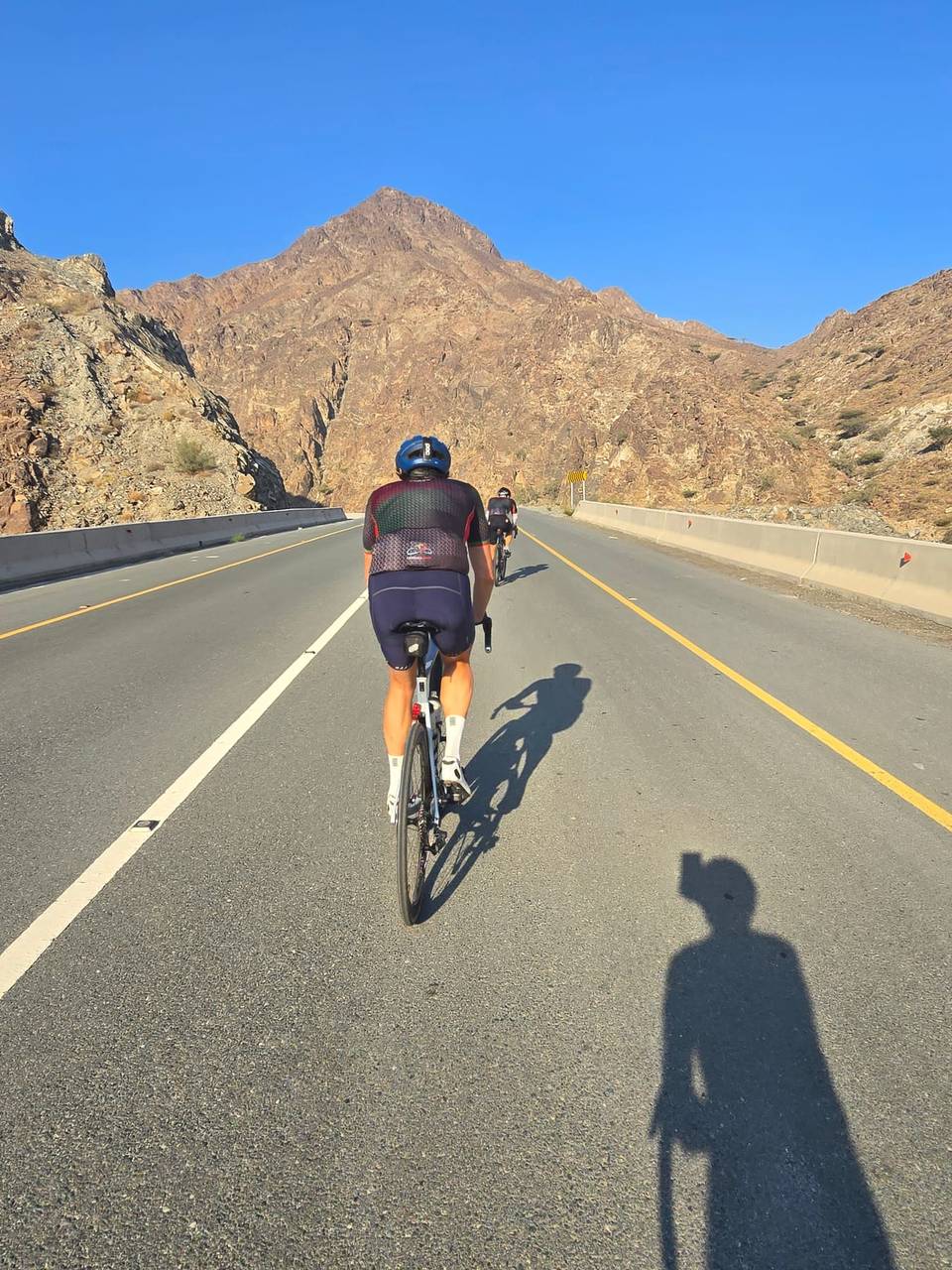
The route is 99% paved with 44% on major roads, 41% on minor roads, 10% on main roads, and 4% on quiet streets. Important roads include the Masafi-Dibba Road for 14.9 km and Khorfakkan Road for 11.3 km. Riders face 46 km on main roads without cycle lanes and nearly 29 km on roads with speed limits over 80 km/h.
Facilities include cafés and supermarkets near the start and finish in Khor Fakkan. There is a 57.5 km stretch without café, shop or water from 17.2 km to 74.7 km, so refuelling should be arranged before and after this section. Drinking water is noted at 1 km and close to the finish at 74.7 km and also at Shis Pools near the end.
| Climb | Starts at | On this ride | Full ascent | Top on this ride |
|---|---|---|---|---|
| Khor Fakkan climb | 0 km | 4 km · 197 m · 4.9 % · max 8.2 % | 3.6 km · 220 m · 6.1 % | 615 m |
| Unnamed climb | 9.3 km | 4.7 km · 136 m · 2.9 % · max 6.7 % | — | 496 m |
| Al Ghūnah climb (498 m) | 25.9 km | 2.4 km · 176 m · 7.5 % · max 14.7 % | 4.8 km · 234 m · 4.9 % | 506 m |
| Unnamed climb | 33.1 km | 1.6 km · 55 m · 3.4 % · max 5.7 % | — | 519 m |
| Al Ghūnah climb (506 m) | 45.6 km | 1.5 km · 49 m · 3.4 % · max 7.9 % | 8.4 km · 244 m · 2.9 % | 437 m |
| Unnamed climb | 50.5 km | 2.8 km · 63 m · 2.3 % · max 3.3 % | — | 437 m |
| Unnamed climb | 53.5 km | 2 km · 80 m · 4 % · max 6.5 % | — | 519 m |
| Daftah climb (615 m) | 74.6 km | 5.4 km · 254 m · 4.7 % · max 11.1 % | 7.4 km · 298 m · 4 % | 616 m |
This is not a cycle-track route: 53% is on main roads without a cycle lane, 28.9 km of it where the limit is 80 km/h or more. Riders should be comfortable sharing the road with faster traffic.
The longest stretch without a café, shop or water is 58 km, from km 17 to 75. Along the route: 11 cafés and restaurants, 15 shops, 3 water points, 2 petrol stations and 3 public toilets.