Road · United Arab Emirates
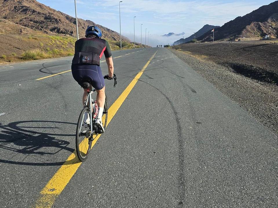
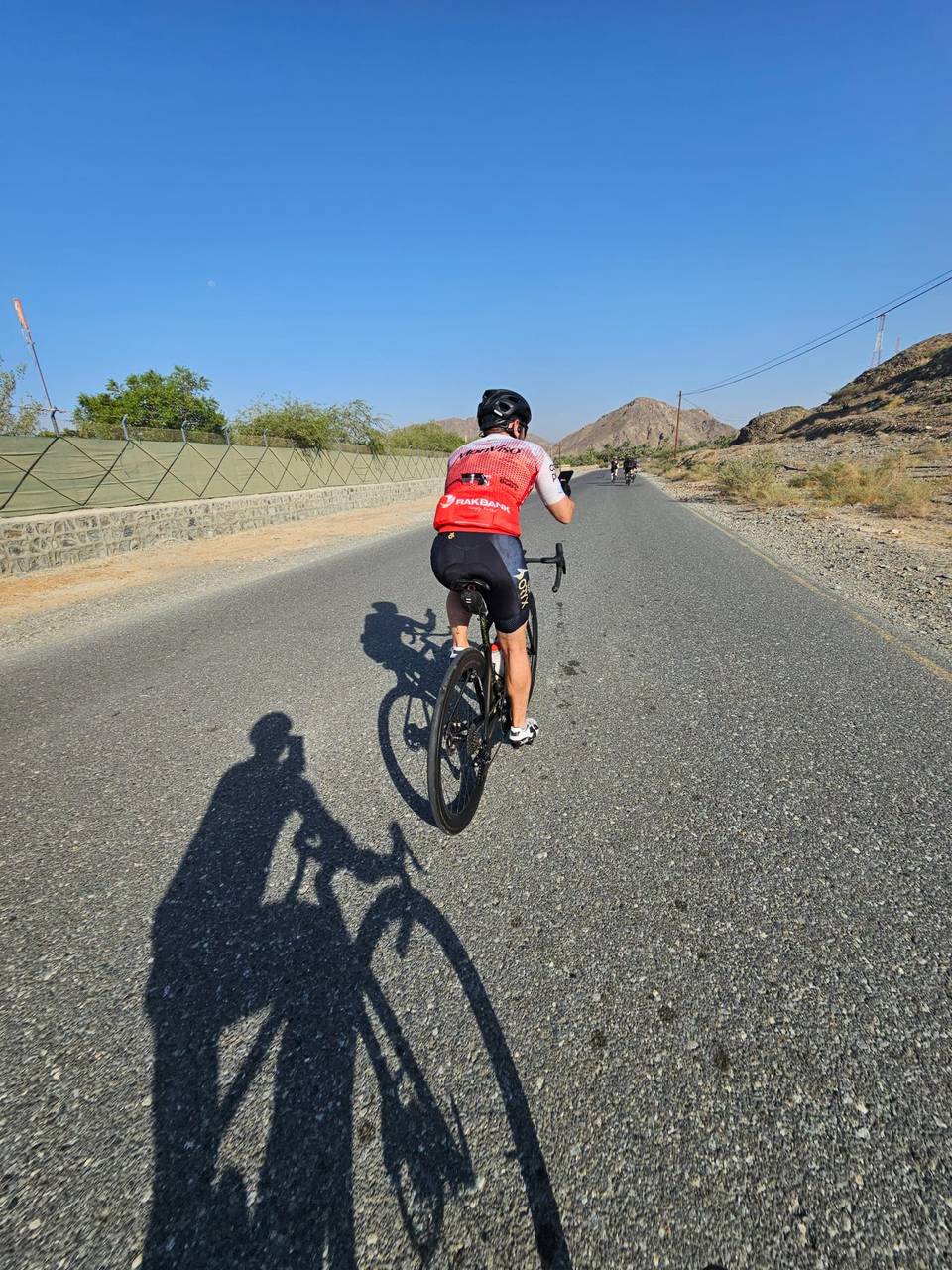
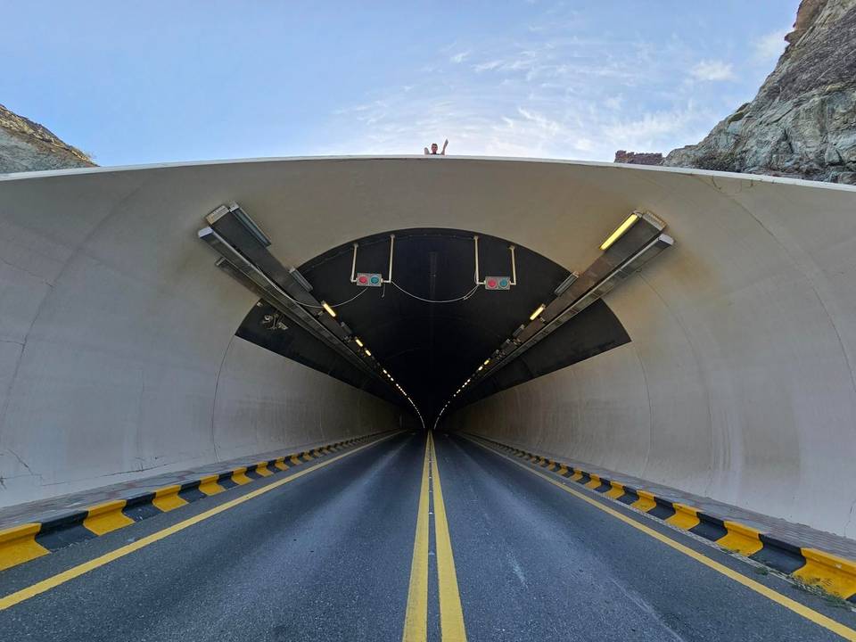
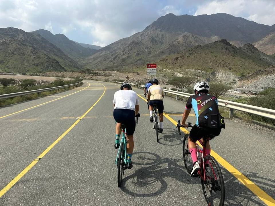
A rolling 101 km road cycling loop from Showka, Ras Al Khaimah through Adhan, Sram and Al Muhtarqah, with 767 m of climbing over Al Ghūnah climb (506 m). Most of it (66 km) is on main roads without a cycle lane, 56.1 km where the limit is 80 km/h or more. The first 46 km has no café, shop or water.
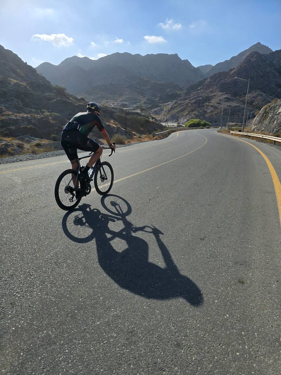
The route starts from Showka and heads towards Adhan at 5.1 km, continuing through Ayim, Kub, Sram, and Ar Riwedah by 19.9 km. It then climbs steadily for 3.8 km gaining 93 m to 287 m elevation before passing Jerief and Al Muhtarqah. The middle section includes an 8.4 km climb starting at 52.1 km with 245 m gain to the highest point at 517 m near 60.8 km. The route descends and passes Masafi at 67.7 km, then goes through several places including Thoban and Manama before returning to Showka.
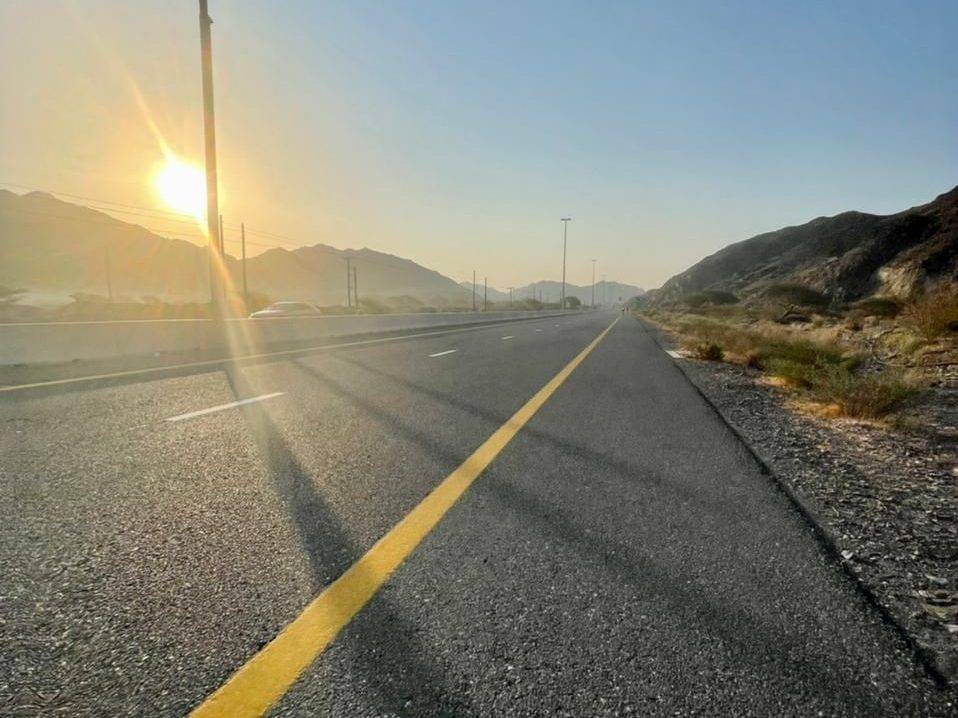
The surface is 98% paved with about 2% gravel and 1% unmapped. It uses a mix of roads: 43% major roads, 27% minor roads, 23% main roads, 5% quiet streets, and 2% tracks. Major named roads include Al Dhaid - East Coast Road for 15.5 km, Al Shohadaa Road for 15.3 km, Masafi-Dibba Road for 13 km, and Digdaga Road for 12.8 km. Notably, there are 66 km on main roads without cycle lanes and 56.1 km on roads with speed limits 80 km/h or higher.
Services are scarce for the first 46.4 km with no café, shop, or water. Beyond that, petrol stations at km 46.4, 65.4, 73.8, and 83.5 offer refuel options. Shops and bakeries are near Masafi around 63-65 km. Points of interest include archaeological Site 8 at 25.1 km off-route, Wadi Al Abadilah hiking trails near 51.4 km, and Masafi Fort at 68.9 km, all slightly off the road.
| Climb | Starts at | On this ride | Full ascent | Top on this ride |
|---|---|---|---|---|
| Unnamed climb | 19.5 km | 3.8 km · 93 m · 2.5 % · max 5.1 % | — | 287 m |
| Al Ghūnah climb (506 m) | 52.1 km | 8.4 km · 245 m · 2.9 % · max 7.1 % | 8.4 km · 244 m · 2.9 % | 517 m |
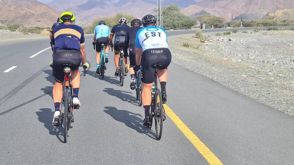
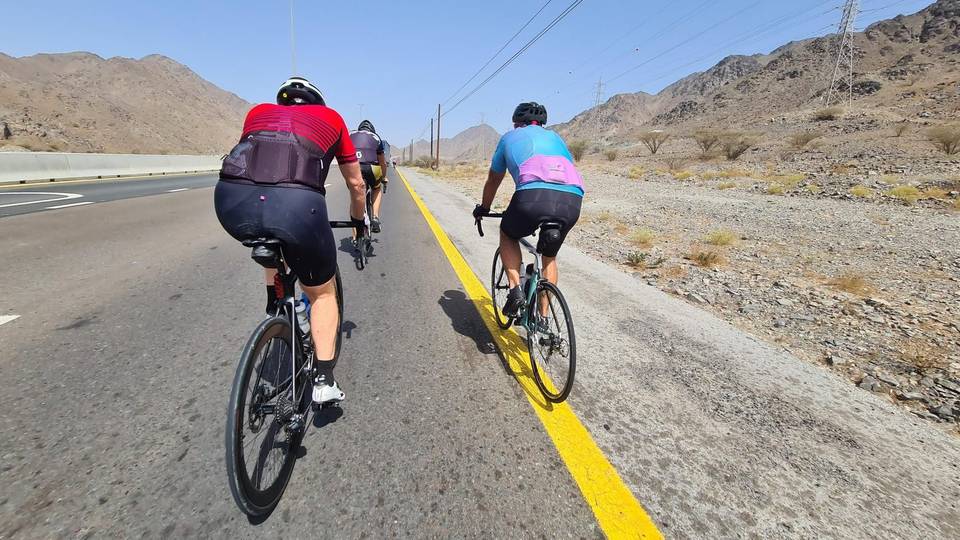
This is not a cycle-track route: 66% is on main roads without a cycle lane, 56.1 km of it where the limit is 80 km/h or more. Riders should be comfortable sharing the road with faster traffic.
The longest stretch without a café, shop or water is 46 km, from the start. Along the route: 2 cafés and restaurants, 1 shop and 6 petrol stations.