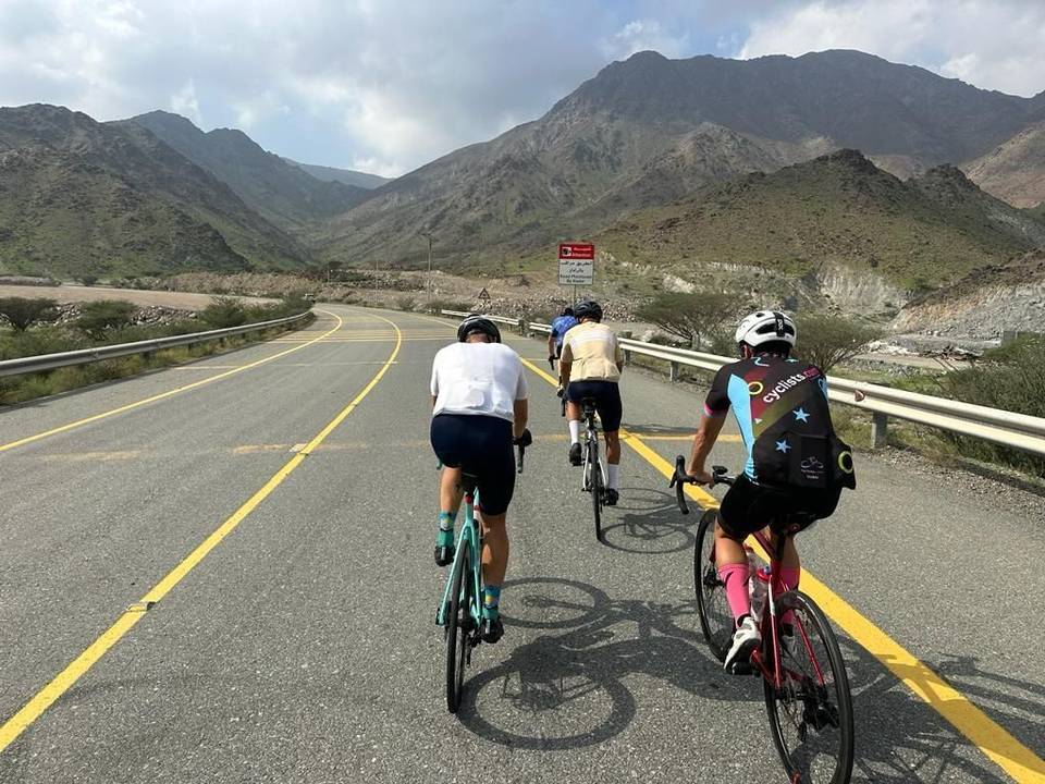
Road · United Arab Emirates
A hilly 142 km road cycling loop from Showka, Ras Al Khaimah through Masfut, Hatta and Wahala, with 1,495 m of climbing. Most of it (102.3 km) is on main roads without a cycle lane, 48.9 km where the limit is 80 km/h or more. There is a 63 km stretch without a café, shop or water (km 76–139).
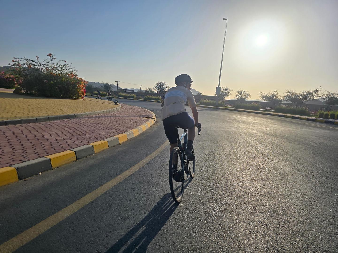
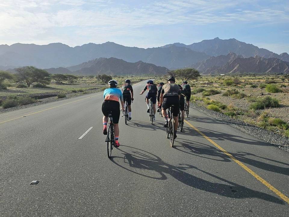
This 142 km loop starts and finishes at Showka in the Hajar Mountains of the United Arab Emirates. The route passes through Munay at 20 km, Al Wa'ab, Sikhēbar, Sha'biyyat Milāḩ, Al Qor, and Mudayrah, continuing through Al Warqa, Masfut, Shariyah, Hayl, Hatta, Sufayri, As Simsimānīyah, Huwaylat, Fashrah, Rāfāq, Al Naslah, Um al Ghaf, Wahala, Minazif and Al Qilē'ī before returning to Showka.
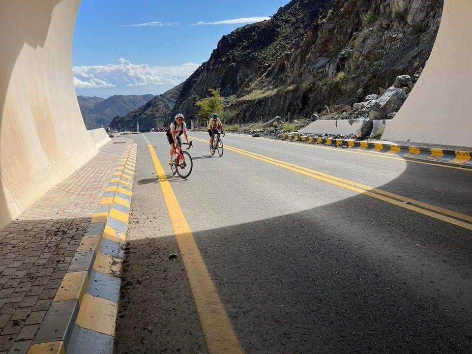
Climbing is spread across several moderate ascents, including a 2.9 km climb gaining 104 m near the start, a 3.8 km climb gaining 109 m, and others ranging from 1.8 to 5.1 km with gentle gradients mostly under 4%. The highest point reaches 488 m at 8.4 km. The biggest descent is a 6.2 km stretch dropping 170 m beginning at 8.8 km. The profile is 23% climbing, 25% descending and 52% flat. The road surface is largely paved (97%) with about 3% gravel or unpaved track.
The route primarily uses motorway (46%) and main roads (26%) with extensive sections on roads without cycle lanes (102 km) and 49 km on fast roads with speeds of 80 km/h or more. Notable roads include 52 km on Sharjah - Kalba Road. There is a longest stretch of 63 km without cafes, shops or water from 75.6 to 138.8 km. Facilities near the route include water points at km 56 and 64, cafés near 64 km, convenience stores at 43 km and 60 km, and bike shops at the start and finish in Showka.
| Climb | Starts at | On this ride | Top on this ride |
|---|---|---|---|
| Unnamed climb | 0 km | 2.9 km · 104 m · 3.6 % · max 5.4 % | 395 m |
| Unnamed climb | 4.6 km | 3.8 km · 109 m · 2.9 % · max 5.5 % | 488 m |
| Unnamed climb | 32.8 km | 4.1 km · 110 m · 2.7 % · max 4.3 % | 418 m |
| Unnamed climb | 64.5 km | 2.4 km · 68 m · 2.9 % · max 6 % | 372 m |
| Unnamed climb | 102.7 km | 1.8 km · 59 m · 3.4 % · max 13.4 % | 267 m |
| Unnamed climb | 105.6 km | 3.9 km · 134 m · 3.4 % · max 9.1 % | 298 m |
| Unnamed climb | 111.2 km | 2.7 km · 72 m · 2.7 % · max 5.3 % | 308 m |
| Unnamed climb | 124.3 km | 5.1 km · 149 m · 2.9 % · max 7.9 % | 479 m |
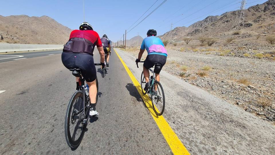
This is not a cycle-track route: 72% is on main roads without a cycle lane, 48.9 km of it where the limit is 80 km/h or more. Riders should be comfortable sharing the road with faster traffic.
The longest stretch without a café, shop or water is 63 km, from km 76 to 139. Along the route: 13 cafés and restaurants, 4 shops, 2 water points, 1 petrol station, 6 public toilets and 1 bike shop.