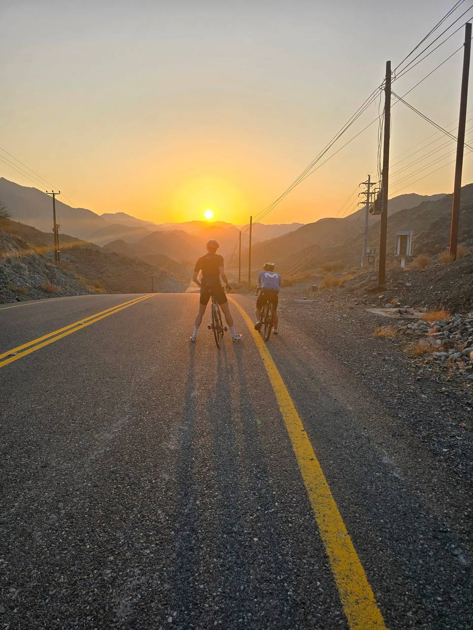
Road · United Arab Emirates
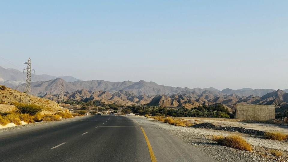
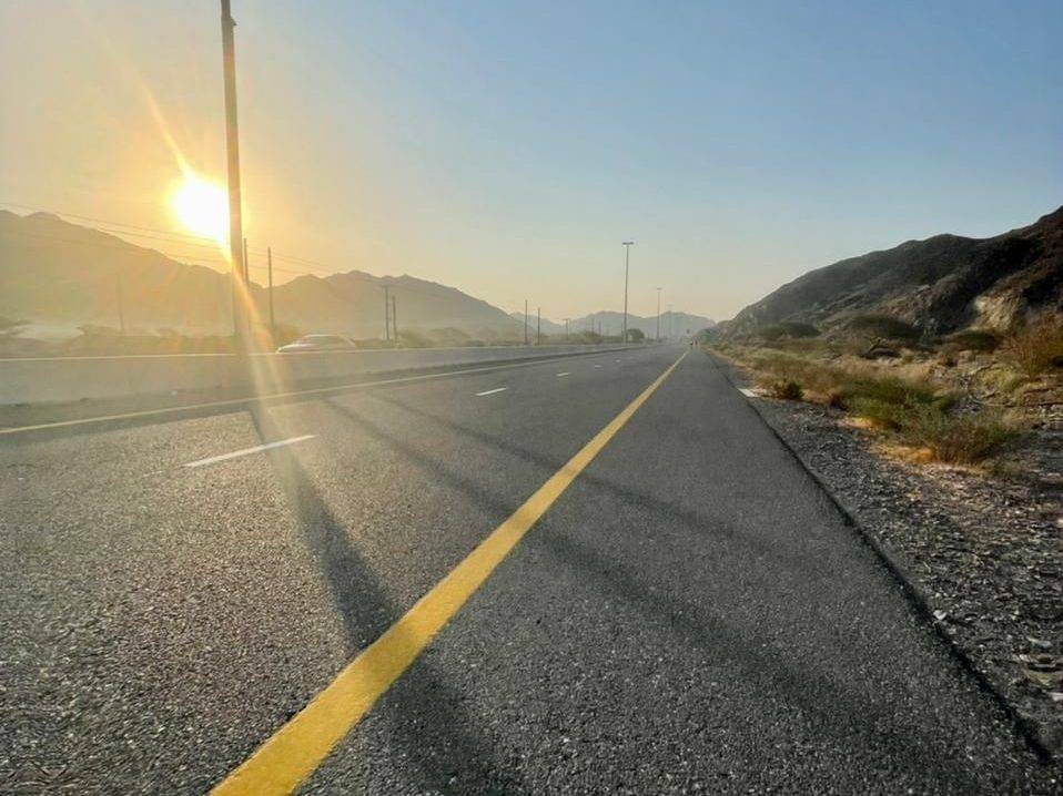
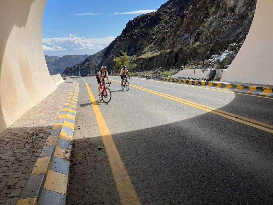
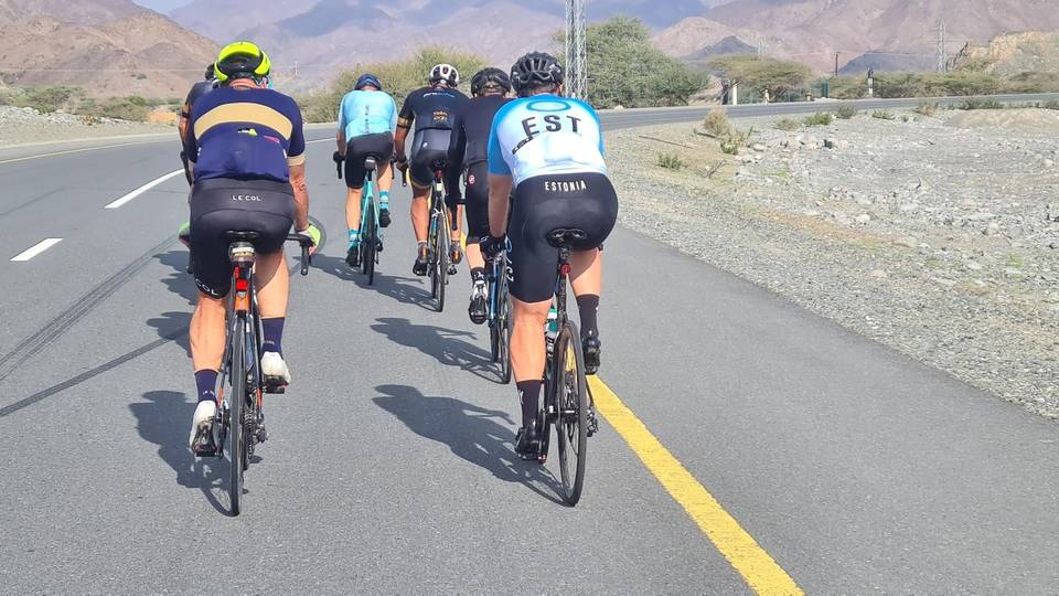
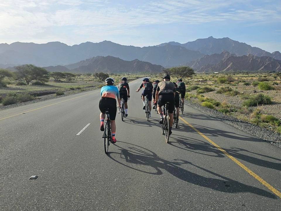
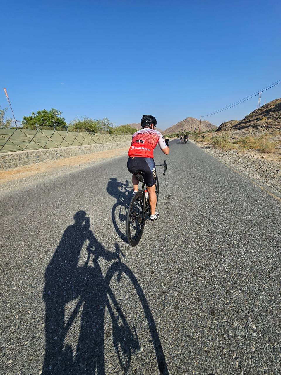
A hilly 113 km road cycling loop from Showka, Ras Al Khaimah through Al Qilē'ī, Fayyad and Shia, with 1,372 m of climbing over the Harrah climb. Most of it (97.8 km) is on main roads without a cycle lane, 35.3 km where the limit is 80 km/h or more. The first 43 km has no café, shop or water.
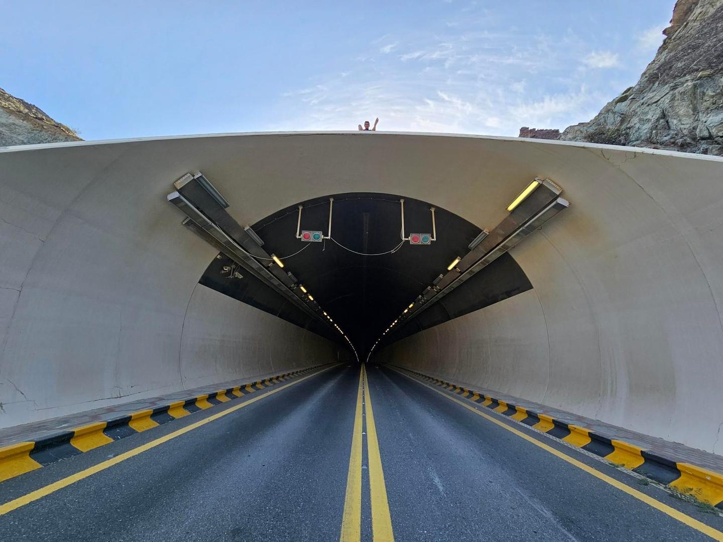
Starting at Showka, this 113 km loop heads through the Hajar Mountains, passing places like Al Qilē'ī at 26 km and Shia at 33 km. The route’s climbing begins early with moderate gradients up to 5.6%, topping at 394 m within the first 3 km and peaking at 511 m near 37 km. Climbing continues in the first half, with several short ascents averaging around 3-5% gradients.
| Climb | Starts at | On this ride | Full ascent | Top on this ride |
|---|---|---|---|---|
| Unnamed climb | 0 km | 2.7 km · 101 m · 3.7 % · max 5.6 % | — | 394 m |
| Unnamed climb | 4.5 km | 3.8 km · 108 m · 2.9 % · max 5.2 % | — | 488 m |
| Unnamed climb | 21.9 km | 1.9 km · 49 m · 2.5 % · max 3.6 % | — | 305 m |
| Unnamed climb | 29.3 km | 1.9 km · 42 m · 2.2 % · max 5.2 % | — | 317 m |
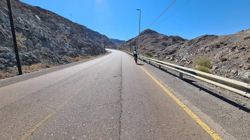
| Harrah climb | 31.6 km | 3.1 km · 167 m · 5.4 % · max 9.3 % | 3.1 km · 158 m · 5.1 % | 493 m |
| Unnamed climb | 40.1 km | 2.5 km · 64 m · 2.6 % · max 3.6 % | — | 263 m |
| Unnamed climb | 51.7 km | 2.8 km · 82 m · 2.9 % · max 8.1 % | — | 92 m |
| Unnamed climb | 88.1 km | 1.5 km · 42 m · 2.8 % · max 6.4 % | — | 278 m |
| Unnamed climb | 97.9 km | 5.1 km · 148 m · 2.9 % · max 8 % | — | 479 m |
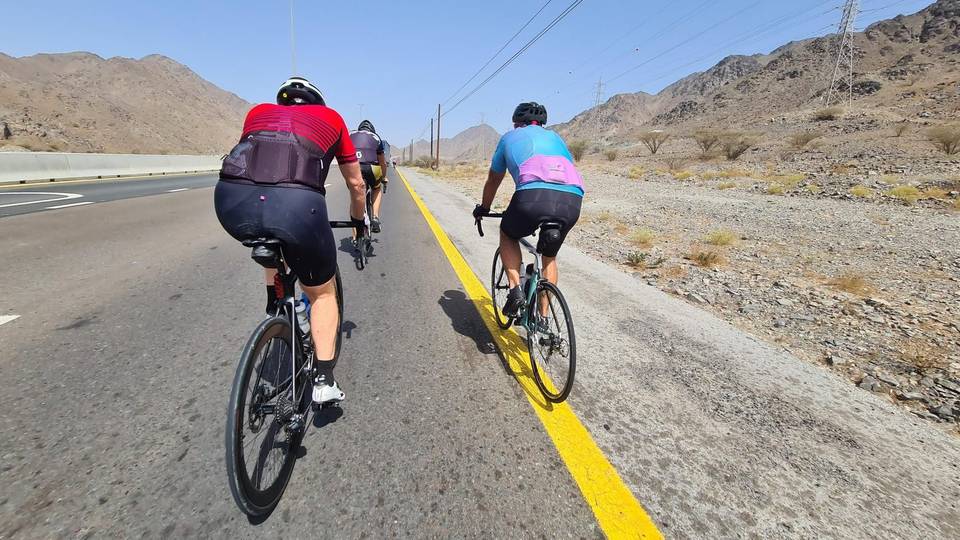
This is not a cycle-track route: 86% is on main roads without a cycle lane, 35.3 km of it where the limit is 80 km/h or more. Riders should be comfortable sharing the road with faster traffic.
The longest stretch without a café, shop or water is 43 km, from the start. Along the route: 6 cafés and restaurants, 2 shops, 3 petrol stations, 4 public toilets and 1 bike shop.