Road · United Arab Emirates
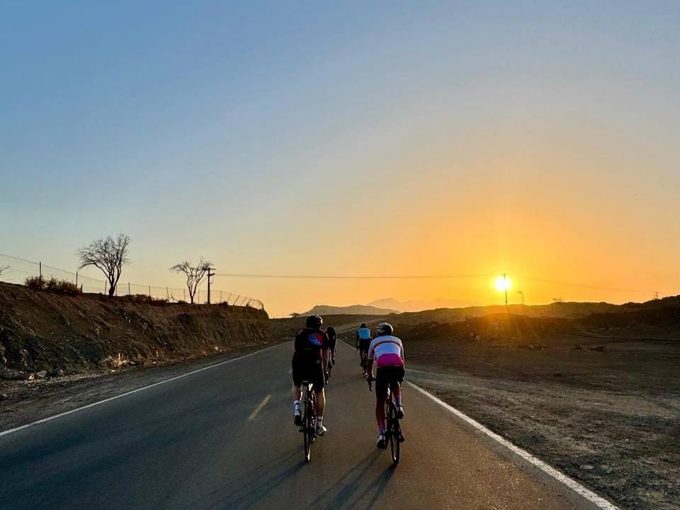
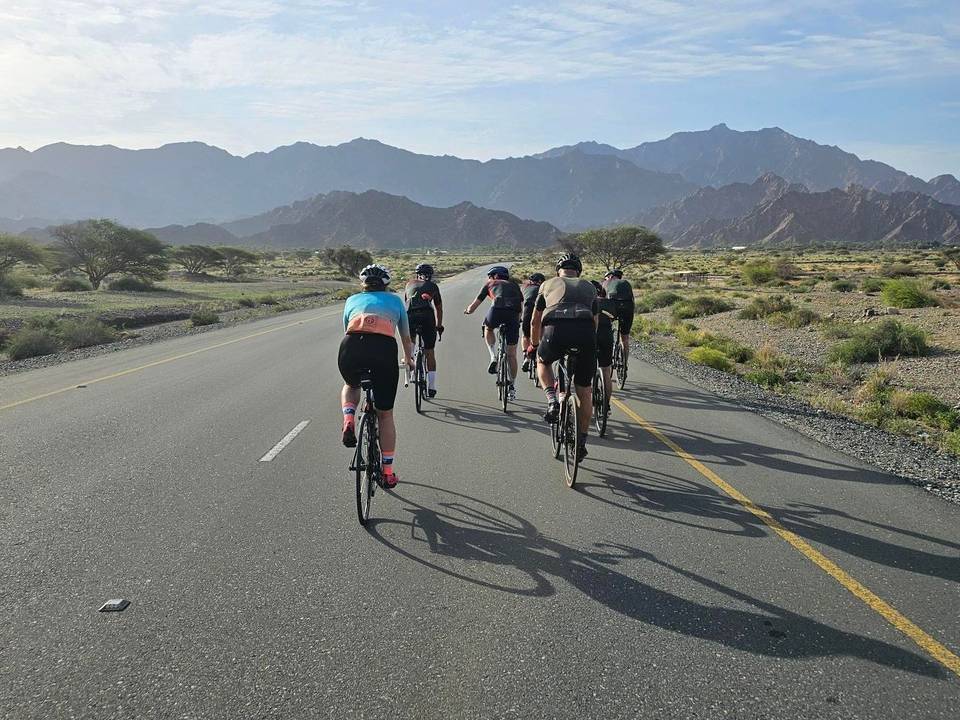
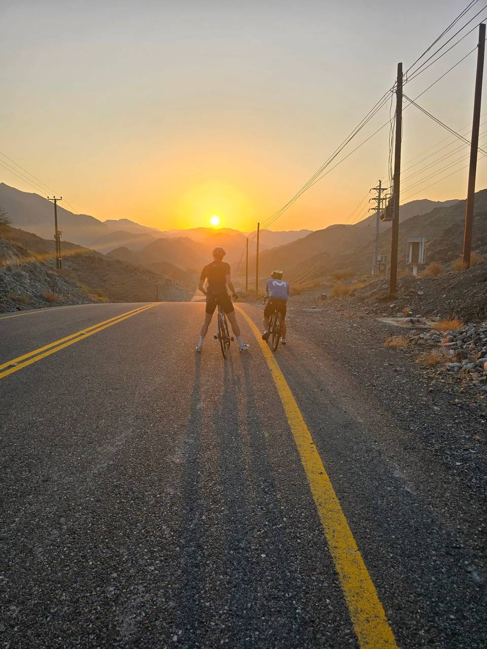
A mountainous 97 km road cycling loop from Showka, Ras Al Khaimah through Munay, Harrah and Al Maqt'a, with 1,577 m of climbing over Al Fujayrah climb (505 m) and Jabal Al Khasfah. Most of it (87.4 km) is on main roads without a cycle lane, 53.4 km where the limit is 80 km/h or more. The first 43 km has no café, shop or water.
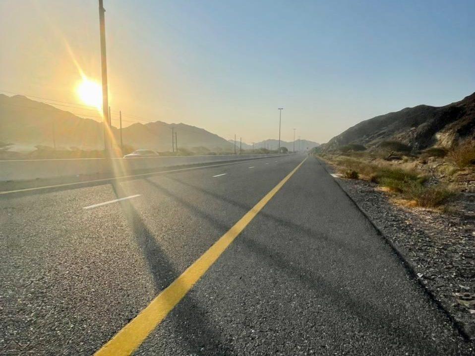
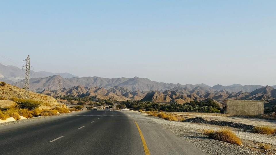
This 96.5 km loop starts and finishes at Showka in the Hajar Mountains of the United Arab Emirates. The route initially climbs steadily over 3 km with 107 m gain averaging 3.5%, followed by another 3.7 km climb gaining 107 m at 2.9%. Early in the ride, it passes beneath Jabal Al Hinnah at 2.8 km.
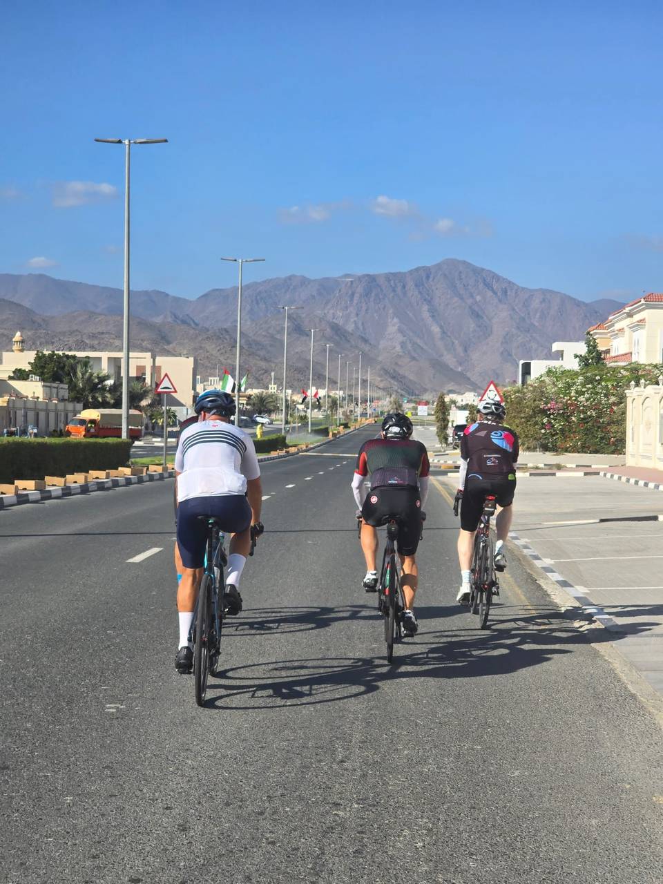
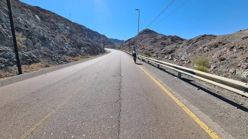
After 20 km, the ride goes through Munay before encountering several shorter climbs near Fayyad, Harrah, and Shia between 26.7 and 34.7 km, including one 3.4 km climb averaging 6.6% with a maximum gradient of 23.7%. The highest point is reached at 544 m at 34.7 km. Descending to about 3 m near 48.7 km, the route passes Al Maqt'a and Al Ghail before completing further climbs after 50 km up to 260 m over 4.2 km. The ride continues through Minazif and Al Qilē'ī before returning to Showka.
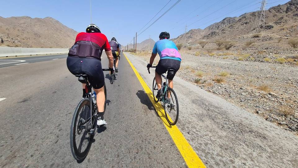
Surface is 96% paved with no gravel sections. Roads are primarily motorway (80%) with 87.4 km of main roads lacking cycle lanes and 53.4 km subject to speed limits of 80 km/h or above. The longest stretch without café, shop, or water is 42.7 km from the start. Toilets are available at 5.4, 13.2, and 48.3 km. Food and drink can be found near 42.7 to 53.6 km, with petrol and bike shops near 49.5 and 95.9 km respectively. Attractions near the route include Hanging Garden Kalba and Al Hafiya Lagoon.
| Climb | Starts at | On this ride | Full ascent | Top on this ride |
|---|---|---|---|---|
| Unnamed climb | 0 km | 3 km · 107 m · 3.5 % · max 5.4 % | — | 398 m |
| Unnamed climb | 4.6 km | 3.7 km · 107 m · 2.9 % · max 5.4 % | — | 488 m |
| Unnamed climb | 21.8 km | 1.9 km · 48 m · 2.6 % · max 4 % | — | 305 m |
| Unnamed climb | 26.7 km | 1.4 km · 40 m · 3 % · max 5.1 % | — | 275 m |
| Unnamed climb | 29.2 km | 1.9 km · 44 m · 2.3 % · max 5.6 % | — | 320 m |
| Harrah climb | 31.3 km | 3.4 km · 221 m · 6.6 % · steepest 500 m 8.3 % | 3.1 km · 158 m · 5.1 % | 544 m |
| Al Fujayrah climb (505 m) | 31.5 km | — | 2.7 km · 197 m · 7.2 % | 485 m |
| Unnamed climb | 39.2 km | 2.6 km · 82 m · 3.1 % · max 8.1 % | — | 281 m |
| Jabal Al Khasfah | 51.6 km | 4.2 km · 260 m · 6.2 % | 4.2 km · 273 m · 6.4 % | 280 m |
| Unnamed climb | 61 km | 1.3 km · 89 m · 6.8 % · max 14.6 % | — | 266 m |
| Unnamed climb | 63.5 km | 1.9 km · 70 m · 3.7 % · max 6.5 % | — | 232 m |
| Unnamed climb | 65.6 km | 1.8 km · 87 m · 4.8 % · max 9.5 % | — | 312 m |
| Unnamed climb | 69.4 km | 2 km · 65 m · 3.3 % · max 5.2 % | — | 308 m |
| Kalba climb | 82.2 km | 5.2 km · 151 m · 2.9 % · max 7.7 % | 5.2 km · 151 m · 2.9 % | 484 m |
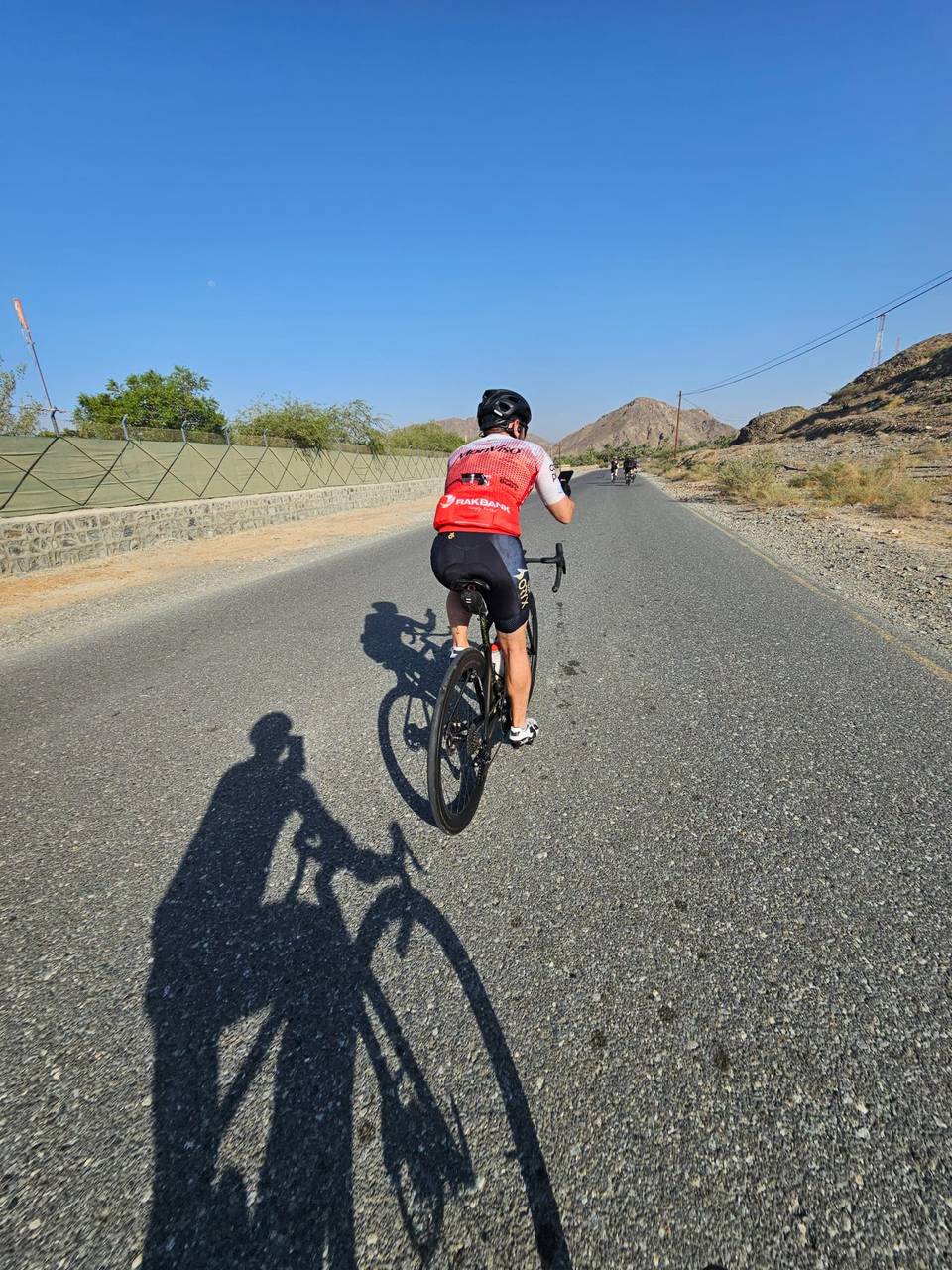
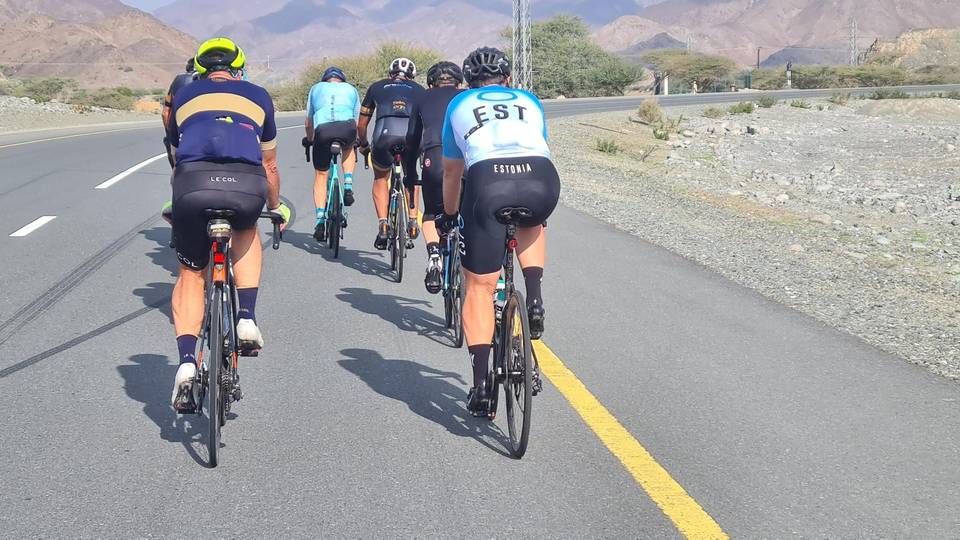
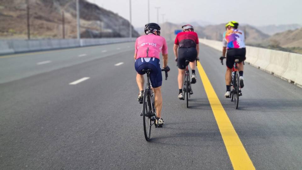
This is not a cycle-track route: 91% is on main roads without a cycle lane, 53.4 km of it where the limit is 80 km/h or more. Riders should be comfortable sharing the road with faster traffic.
The longest stretch without a café, shop or water is 43 km, from the start. Along the route: 6 cafés and restaurants, 1 petrol station, 3 public toilets and 1 bike shop.