
Cycling in Showka
16 cycling routes from Showka, Ras Al Khaimah, United Arab Emirates, 54 to 142 km, 1,574 km mapped in all, with up to 1,517 m of climbing in a day. Hilly riding (11 m of climbing per km on average), mostly road routes, 86% of the riding on main roads without a cycle lane. Best months to ride: Dec to Feb.
At a glance
- Routes
- 16
- Lengths
- 54–142 km
- Biggest day
- 1,517 m
- Terrain
- Hilly
- Surface
- Mostly paved
- Bike
- Road bike
- Difficulty
- Moderate to Hard
- Best months
- Dec to Feb
- Longest gap
- 76 km
- GPX
- Every route
- Showka Hills Loop via Musseili54 km713 m ↑Moderate·Loop·May 2024GPX
- Showka to Al Qor via Musseili60 km625 m ↑Moderate·Loop·Apr 2022GPX
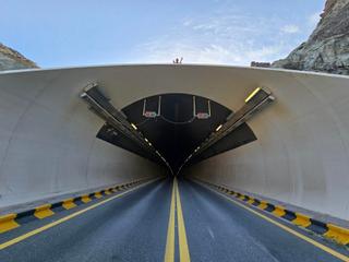
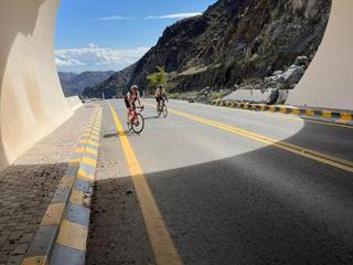
- Showka to Tunnel 176 km1,023 m ↑Hard·Loop·Mar 2021GPX
- Showka Loop via Esfai and Kadrah79 km461 m ↑Moderate·Loop·May 2026GPX
- Showka Hills80 km869 m ↑Hard·Loop·Oct 2022GPX
- Showka to Sufayri via Al Qor and Huwaylat84 km953 m ↑Hard·Loop·Mar 2020GPX
- Showka to Kalba by the New Road97 km1,577 m ↑Hard·Loop·Sep 2022GPX
- Showka to Dibba101 km767 m ↑Hard·Loop·May 2025GPX
- Showka to Khor Fakkan102 km794 m ↑Hard·Loop·May 2024GPX
- Showka Loop via Yaif and Jabal Naselah108 km1,238 m ↑Hard·Loop·Jan 2022GPX
- Showka to Fujairah108 km1,554 m ↑Hard·Loop·Oct 2020GPX
- Showka to Tunnel 1 and the Oman Border113 km1,372 m ↑Hard·Loop·Mar 2023GPX
- Showka – Kalba Loop, Tunnel 1 Both Sides114 km1,517 m ↑Hard·Loop·Nov 2024GPX
- Showka – Wahala – Sufayri Loop via Al Qor127 km1,520 m ↑Hard·Loop·Mar 2023GPX
- Showka to Sour Kalba via Yabsa132 km1,366 m ↑Hard·Loop·Dec 2023GPX
- Showka to Hatta via Masfut and Wahala142 km1,495 m ↑Hard·Loop·Jan 2024GPX
Know before you go
Added up from the recorded routes and OpenStreetMap; nothing estimated.
- Surface
- Paved almost throughout — 16 km of gravel or unpaved road across the routes.
- Roads
- 86% of the riding on main roads without a cycle lane.
- High point
- 564 m on Showka Loop via Yaif and Jabal Naselah.
- Day trips
- 5 routes head for bigger hills elsewhere — up to 717 m on Showka to Fujairah (kept out of the other facts here).
- Bail-outs
- A railway station or ferry within reach on 1 route.
- No services
- 76 km on Showka to Tunnel 1.
- Ridden
- Sep to May, 17–34 °C recorded.
Cycling guide to Showka
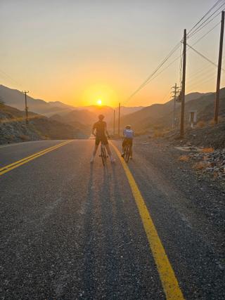
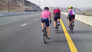
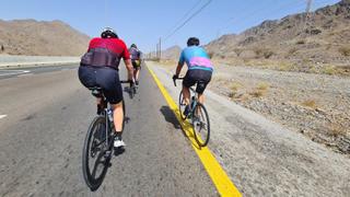
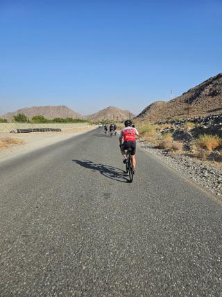
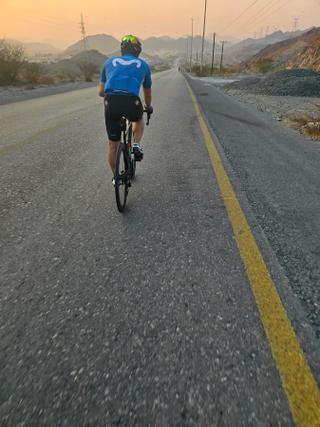
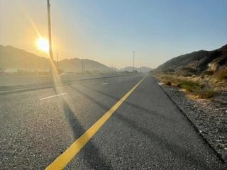
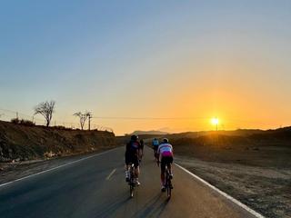
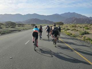
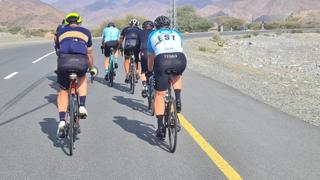
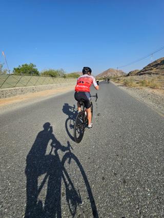
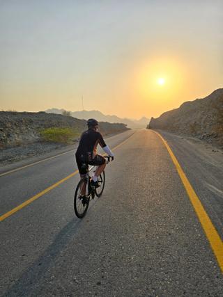
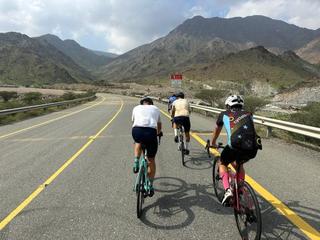
Showka in the Hajar Mountains, United Arab Emirates, features a variety of cycling routes, ranging from 54 to 142 km loops. Riders can reach nearby places like Shariyah, Munay, Masafi, and Kalba. Routes often include significant climbing, with elevation gains up to 1,391 m and maximum altitudes reaching 717 m, offering options for both moderate and challenging rides. Many routes pass through numerous villages and small towns including Musseili, Yaif, Al Qor, and Fayyad, extending the possible destinations from Showka. Most routes have predominantly paved surfaces—typically 92% to 100% paved—with negligible gravel or unpaved sections. Services such as cafés, shops, or toilets are often infrequent, with the longest stretches without services reaching up to 75.7 km on some routes. Showka offers routes with climbs of varying length and gradient, with the steepest climbs averaging over 8% with maximum gradients exceeding 30% on one route.
More on best time to ride, terrain
Best time to ride
Recorded riding months include January, February, March, April, May, September, October, November, and December. Temperatures during rides range from 17°C to 34°C, with many rides noted in December (26°C) and cooler months like January (18-19°C) and November (18-26°C).
Terrain
The terrain around Showka is mountainous, with highest points around 717 m and several climbs ranging from about 70 m to over 300 m elevation gain. Average climb gradients vary, typically between 2.5% and 8.4%, with maximum gradients up to 31.2% on the Showka to Fujairah loop. Climbs are mostly moderate, often lasting around 3 to 8 km. The overall elevation gains per route range from 455 m to almost 1,400 m over distances up to 142 km.