Road · United Arab Emirates
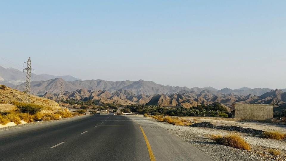
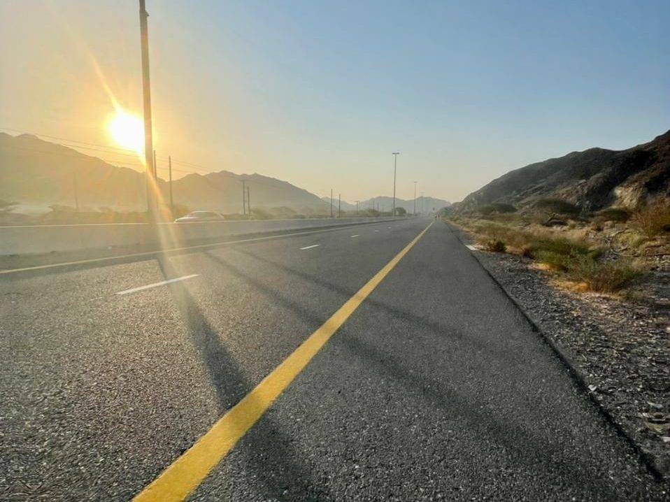
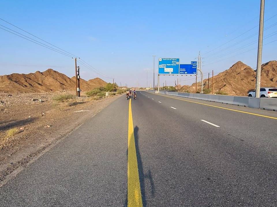
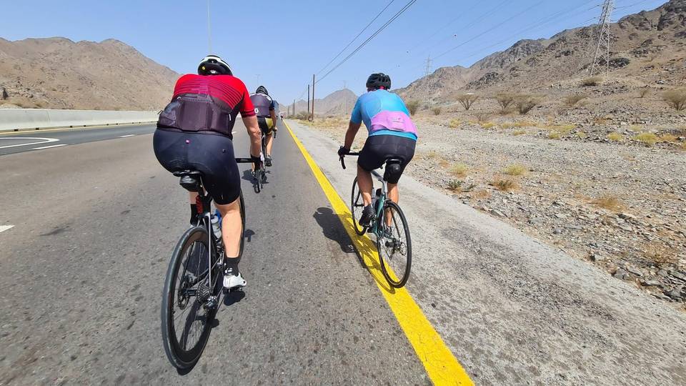
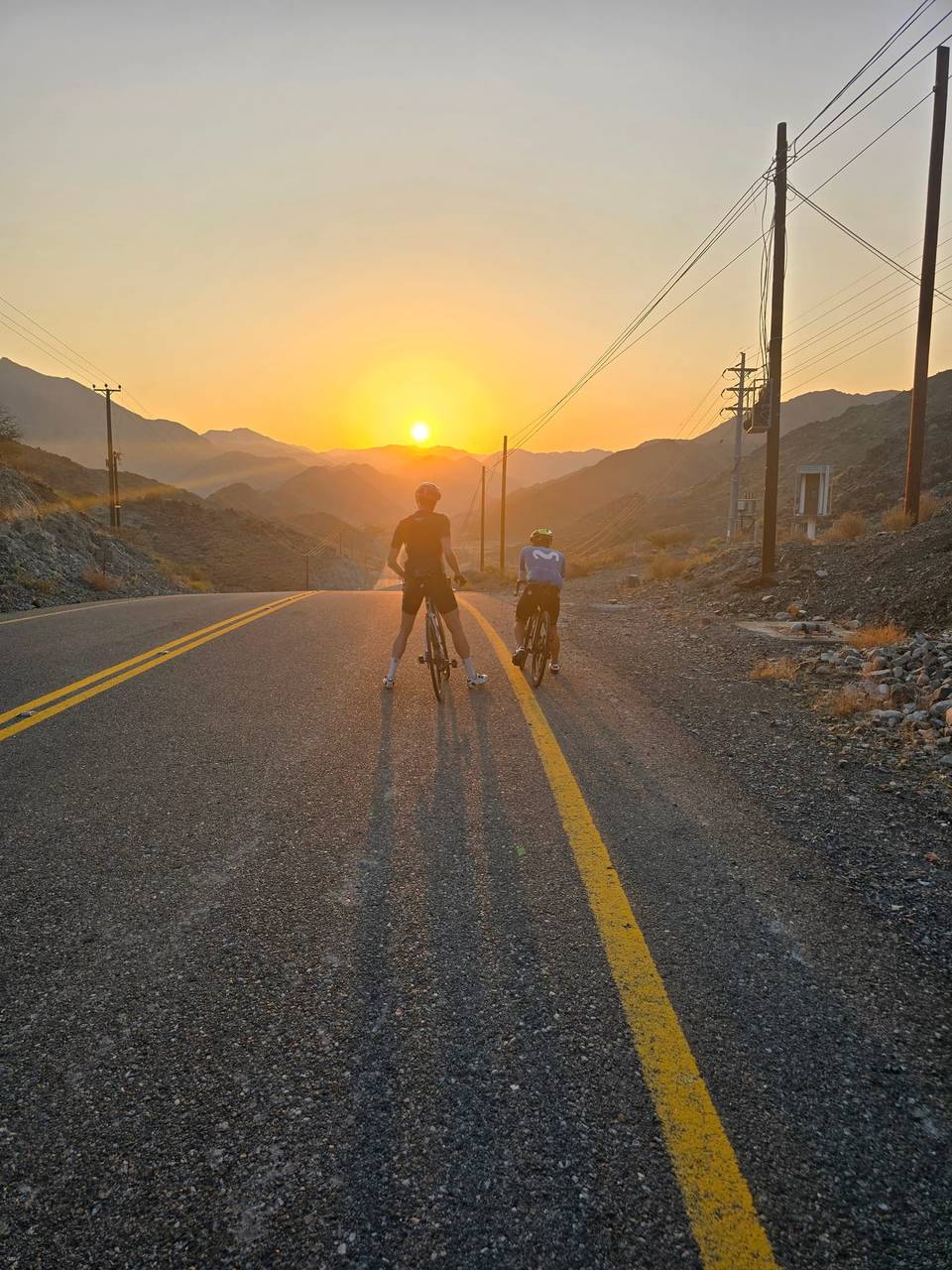
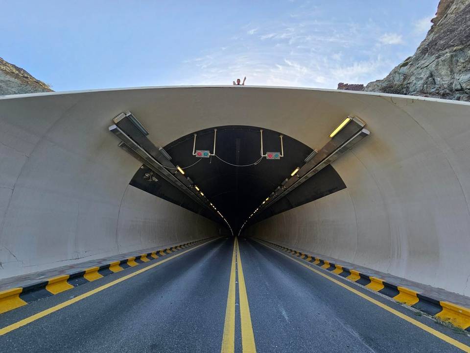
A hilly 108 km road cycling loop from Showka, Ras Al Khaimah through Munay, Minazif and Shia, with 1,554 m of climbing over the Harrah climb and the Far`ah climb. Most of it (89.3 km) is on main roads without a cycle lane, 52.9 km where the limit is 80 km/h or more. The first 60 km has no café, shop or water.
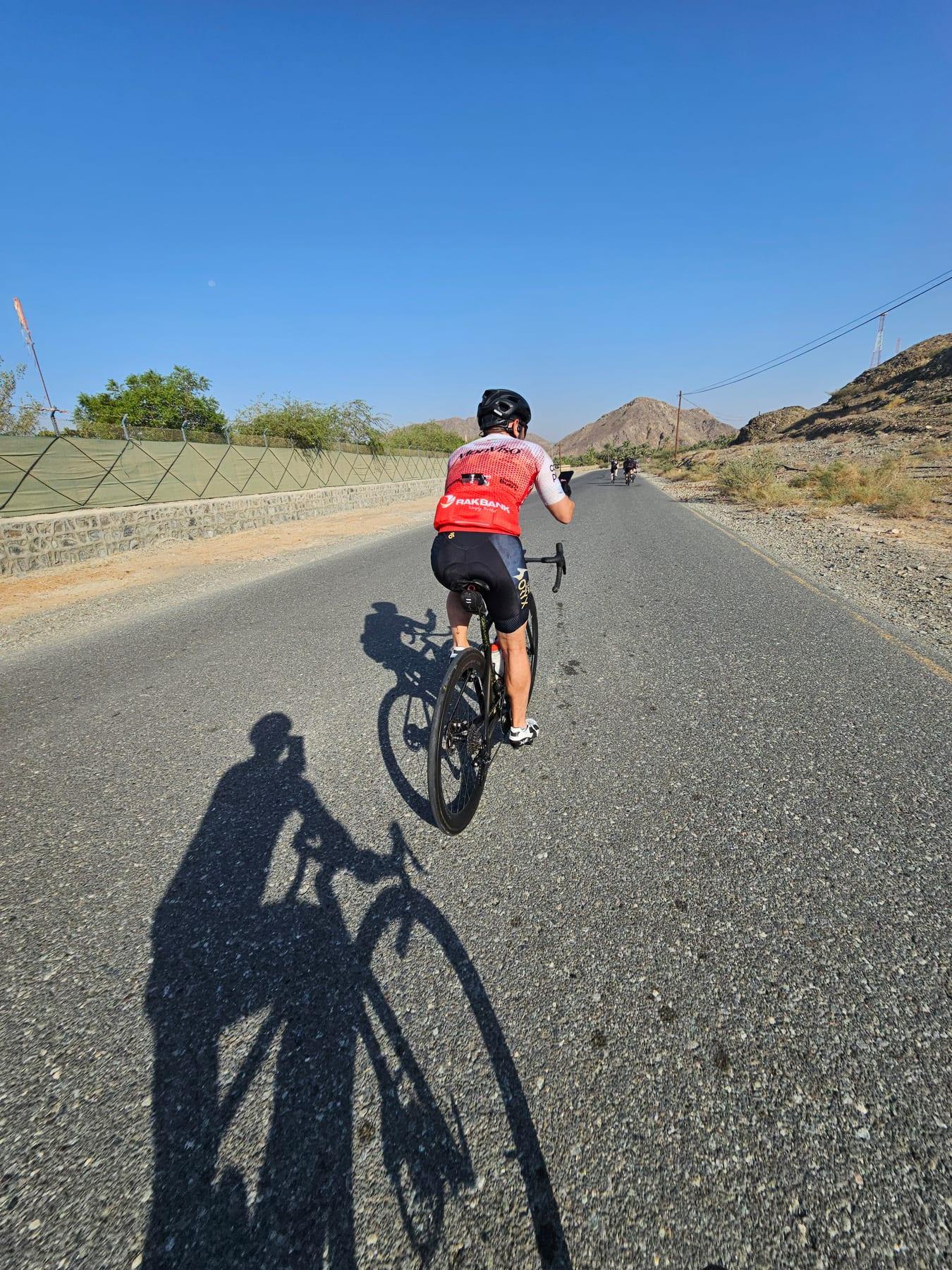
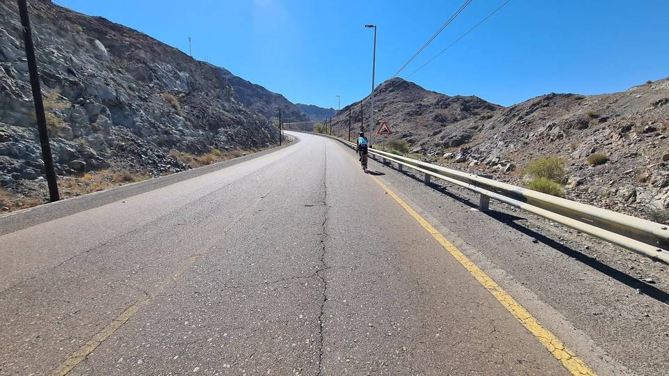
The route starts at Showka and climbs steadily for 2.5 km gaining 112 m at an average gradient of 4.5%, followed by shorter climbs, with a high point at 717 m reached near 38 km after a steep 3.8 km climb averaging 10.2% gradient, maximum 31.2%. The ride passes through Munay (24.4 km), Al Qilē'ī, Minazif, and Fayyad, before descending and rising again around Al Uqdah and Ihfarah. The profile features 29% climbing, 28% descending, and 43% flat sections. Surfaces are mainly paved (92%) with a little gravel. Road types include 51% motorway, 34% main road, and minor roads, quiet streets and tracks making up the rest. Main roads without cycle lanes total 89.3 km and 52.9 km are on roads with speed limits of 80 km/h or more.
The longest descent is 9.6 km dropping 235 m, occurring from 45.9 km. Places passed later in the ride include Al Farfar, Far`ah, Madouk, Mamduh, Rima and Esfini before returning to Showka. There is no café, shop or water for the first 60 km. Food and water are available near 60 km and again near the finish at about 104 km. Two petrol stations lie between 63 and 70 km. Toilets occur early in the route near 10 and 18 km. A bike shop is at the start and end at Showka.
Nearby peaks include Jabal Al Hinnah (637 m) at 7.2 km, Jabal Ash Shahayrah (532 m) at 10.7 km, Jabal Al Miqsha (400 m) near 29.4 km, Jabal Hafarah (112 m) at 56.3 km, and Jabal al Fa'rat (467 m) at 89.9 km. Recorded temperatures for riding are between 20 °C and 25 °C in the months February, October, November and December.
| Climb | Starts at | On this ride | Full ascent | Top on this ride |
|---|---|---|---|---|
| Unnamed climb | 0 km | 2.5 km · 112 m · 4.5 % | — | 409 m |
| Unnamed climb | 3.9 km | 2.2 km · 84 m · 3.8 % · max 9.1 % | — | 398 m |
| Unnamed climb | 7.7 km | 3.7 km · 107 m · 2.9 % · max 5.3 % | — | 487 m |
| Unnamed climb | 25.1 km | 2.1 km · 48 m · 2.3 % · max 4 % | — | 304 m |
| Harrah climb | 32 km | 2.1 km · 46 m · 2.2 % · max 5.5 % | 3.1 km · 158 m · 5.1 % | 320 m |
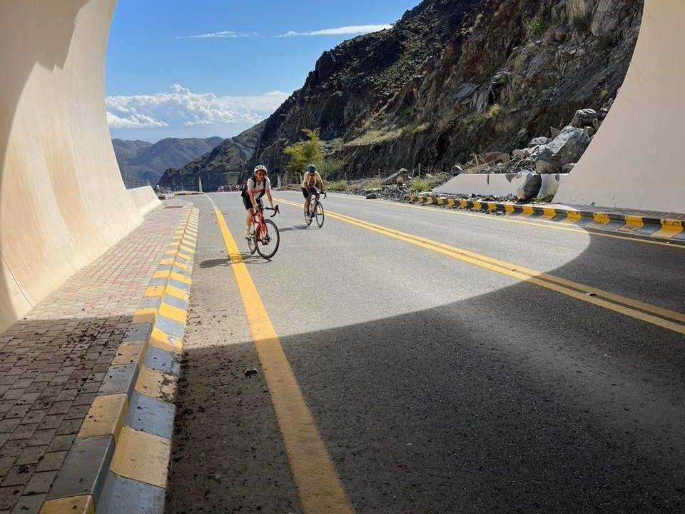
| Unnamed climb | 34.4 km | 3.8 km · 389 m · 10.2 % | — | 717 m |
| Unnamed climb | 41.7 km | 2.5 km · 57 m · 2.3 % · max 5.2 % | — | 269 m |
| Unnamed climb | 70.2 km | 4.5 km · 117 m · 2.6 % · max 4.6 % | — | 205 m |
| Far`ah climb | 74.8 km | 6.2 km · 265 m · 4.3 % · max 7.5 % | 7.3 km · 296 m · 4.1 % | 476 m |
| Unnamed climb | 91 km | 1.5 km · 43 m · 2.9 % · max 5.3 % | — | 339 m |
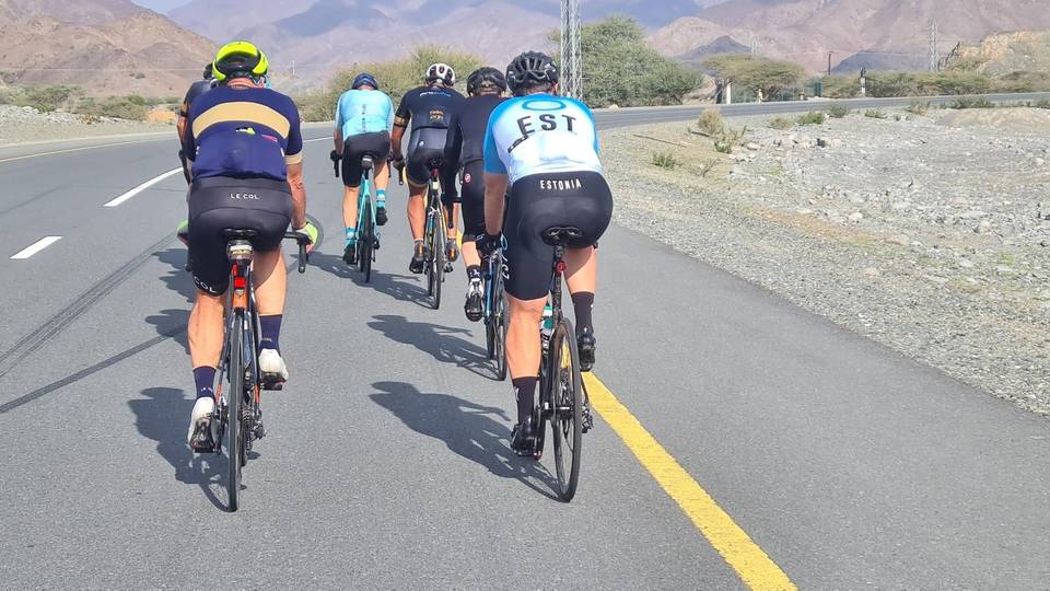
This is not a cycle-track route: 83% is on main roads without a cycle lane, 52.9 km of it where the limit is 80 km/h or more. Riders should be comfortable sharing the road with faster traffic.
The longest stretch without a café, shop or water is 60 km, from the start. Along the route: 3 cafés and restaurants, 2 shops, 2 water points, 2 petrol stations, 2 public toilets and 1 bike shop.