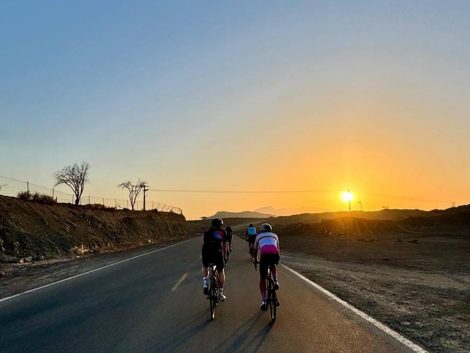
Road · United Arab Emirates
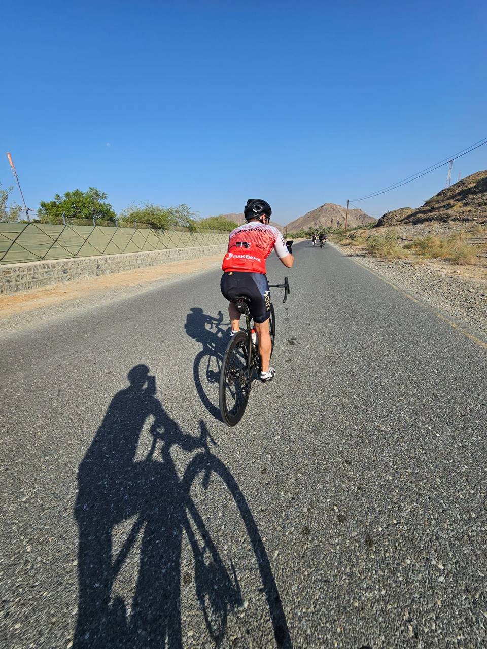
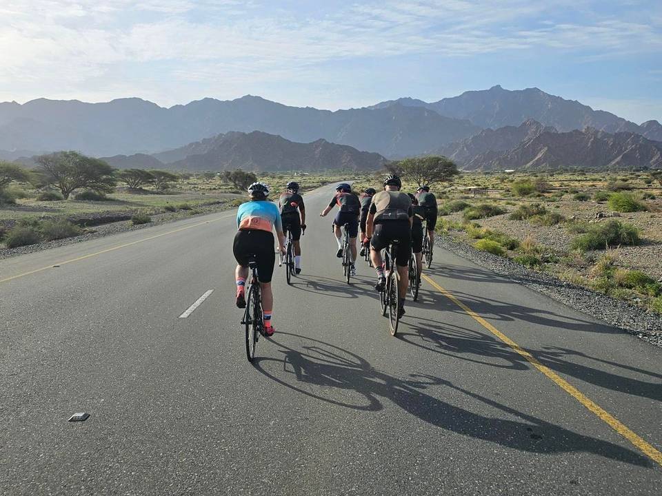
A hilly 114 km road cycling loop from Showka, Ras Al Khaimah through Munay, Wahala and Al ‘Ayn al Ghumūr, with 1,517 m of climbing. Most of it (109.4 km) is on main roads without a cycle lane, 61.2 km where the limit is 80 km/h or more. The first 57 km has no café, shop or water.

Starting at Showka, the route climbs steadily for 2.8 km gaining 106 m, nearing Jabal Al Hinnah at 637 m height. Another climb follows from 4.5 km over 3.5 km with a 107 m gain reaching 487 m elevation, the highest point at 8.2 km. It passes Munay at 19.9 km and continues with smaller climbs and descents through Wahala at 45.1 km and Al ‘Ayn al Ghumūr at 51.6 km.
The route features a longest stretch without café, shop or water for 56.9 km from the start, only reaching a kiosk and café near 59.8 km where there is also a petrol station. Most of the 113.5 km loop is on paved roads (99%) mixing 65% motorway and 30% main roads, including 70.1 km on Sharjah - Kalba Road. There are 109.4 km on main roads without a cycle lane and 61.2 km with posted speed limits of 80 km/h or higher.
Subsequent climbs include several moderate gradients, the steepest 1.6 km at 12.5% near 26.6 km. Places passed after Wahala include Al Maqt'a, Al Saaf, Al Ghail, and Al Qilē'ī before returning to Showka and the bike shop. The climb and descent pattern is balanced with 29% climbing and 29% descending and 42% flat sections.
| Climb | Starts at | On this ride | Top on this ride |
|---|---|---|---|
| Unnamed climb | 0 km | 2.8 km · 106 m · 3.8 % · max 5.1 % | 398 m |
| Unnamed climb | 4.5 km | 3.5 km · 107 m · 3 % · max 5.2 % | 487 m |
| Unnamed climb | 21.8 km | 2 km · 49 m · 2.5 % · max 3.6 % | 305 m |
| Unnamed climb | 26.6 km | 1.6 km · 76 m · 4.8 % · max 12.5 % | 315 m |
| Unnamed climb | 31.5 km | 1.8 km · 93 m · 5.3 % · max 12.1 % | 267 m |
| Unnamed climb | 64.5 km | 5.3 km · 119 m · 2.3 % · max 3.1 % | 165 m |
| Unnamed climb | 70.3 km | 2.5 km · 97 m · 3.9 % · max 8.1 % | 269 m |
| Unnamed climb | 77.5 km | 1.6 km · 82 m · 5.2 % · max 12.2 % | 266 m |
| Unnamed climb | 80 km | 1.8 km · 57 m · 3.3 % · max 6 % | 224 m |
| Unnamed climb | 82.2 km | 1.7 km · 82 m · 4.9 % · max 10 % | 303 m |
| Unnamed climb | 85.9 km | 2.1 km · 64 m · 3 % · max 5.1 % | 308 m |
| Unnamed climb | 98.7 km | 5.1 km · 148 m · 2.9 % · max 7.8 % | 479 m |
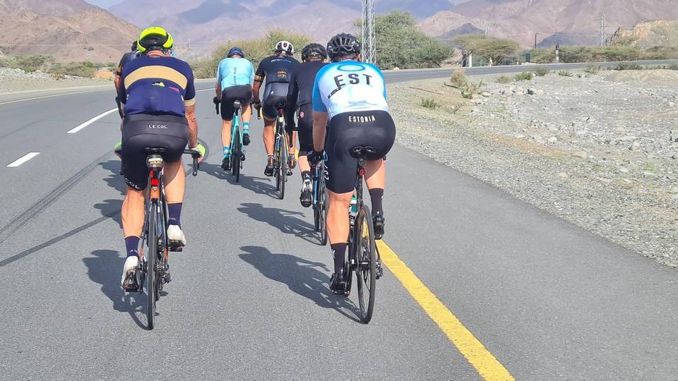
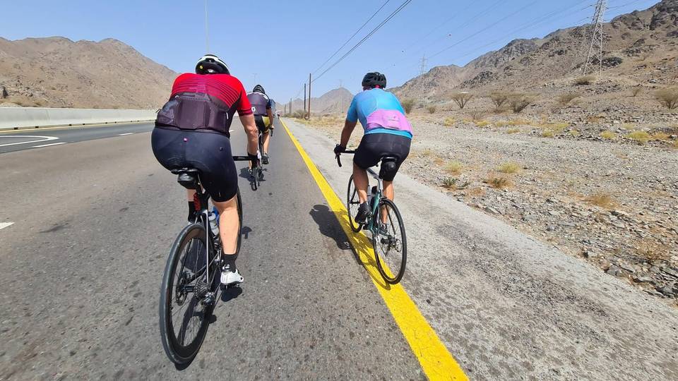
This is not a cycle-track route: 96% is on main roads without a cycle lane, 61.2 km of it where the limit is 80 km/h or more. Riders should be comfortable sharing the road with faster traffic.
The longest stretch without a café, shop or water is 57 km, from the start. Along the route: 4 cafés and restaurants, 1 shop, 1 petrol station, 4 public toilets and 1 bike shop.