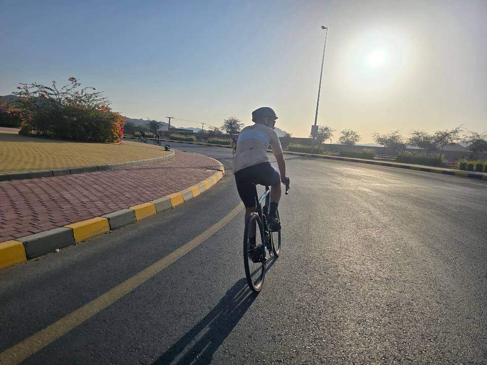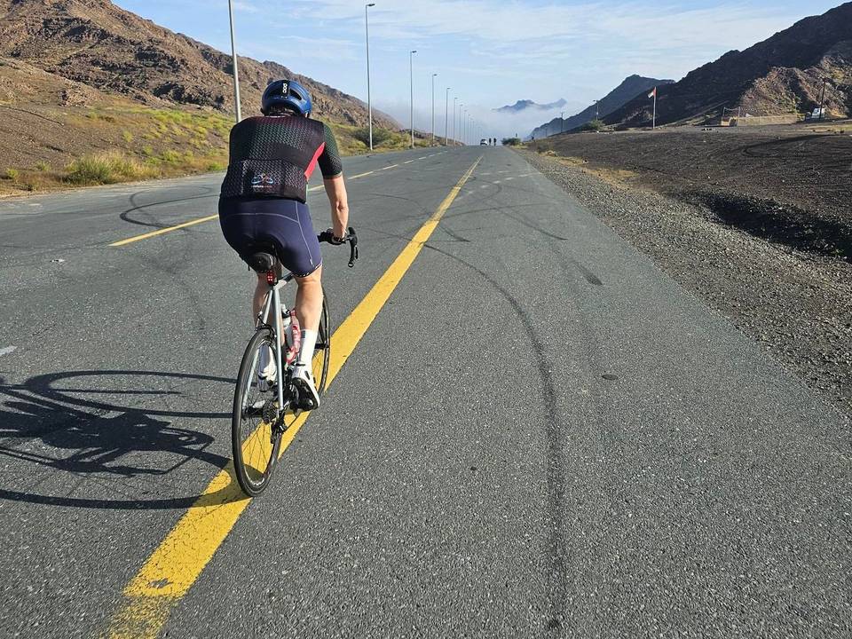
Road · United Arab Emirates
A rolling 102 km road cycling loop from Showka, Ras Al Khaimah through Saram, Jerief and Zahir As Safwah, with 794 m of climbing over Al Ghūnah climb (498 m) and Al Ghūnah climb (506 m). Most of it (87.6 km) is on main roads without a cycle lane, 82.9 km where the limit is 80 km/h or more. There is a 32 km stretch without a café, shop or water (km 4–36).
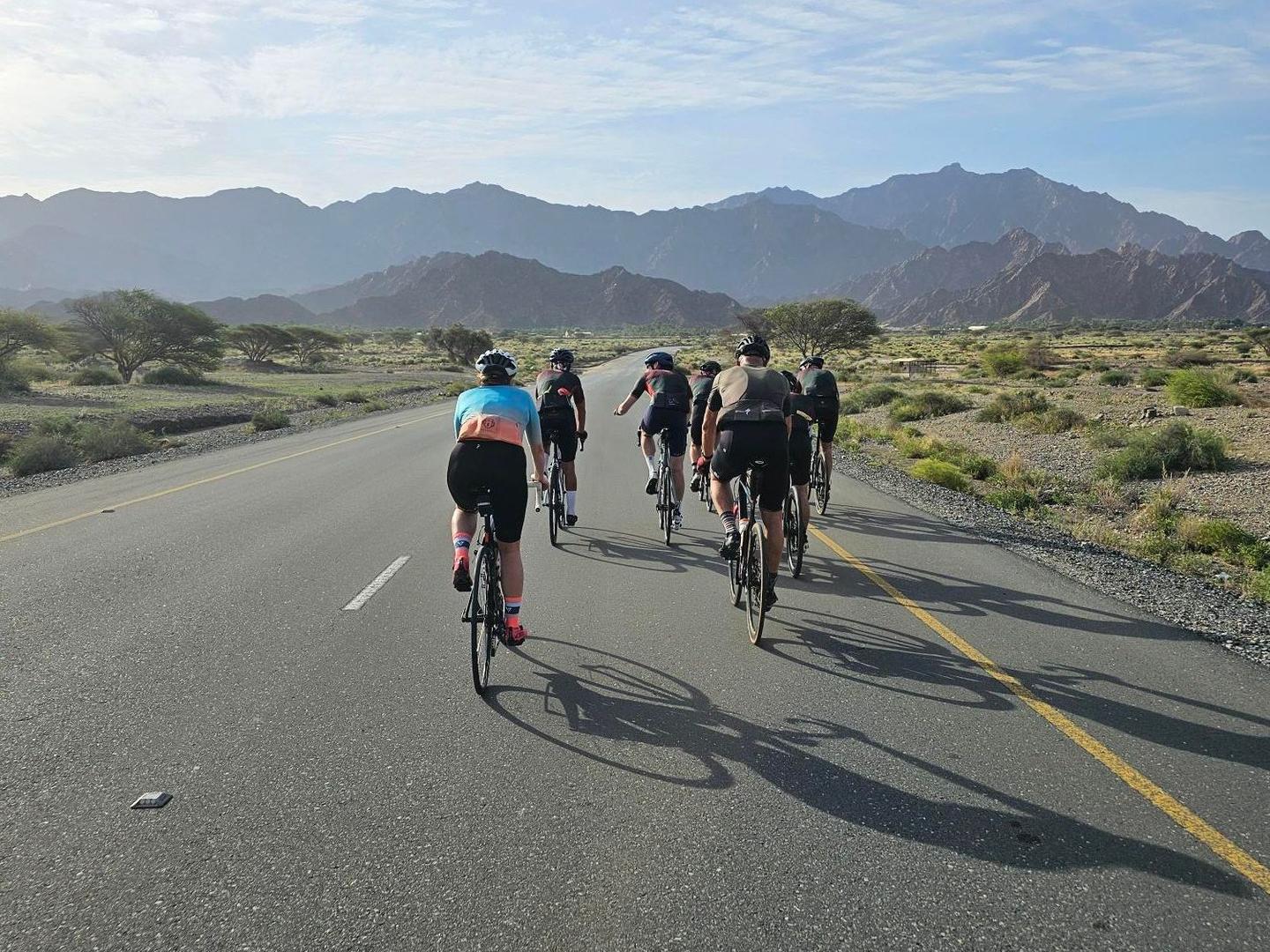
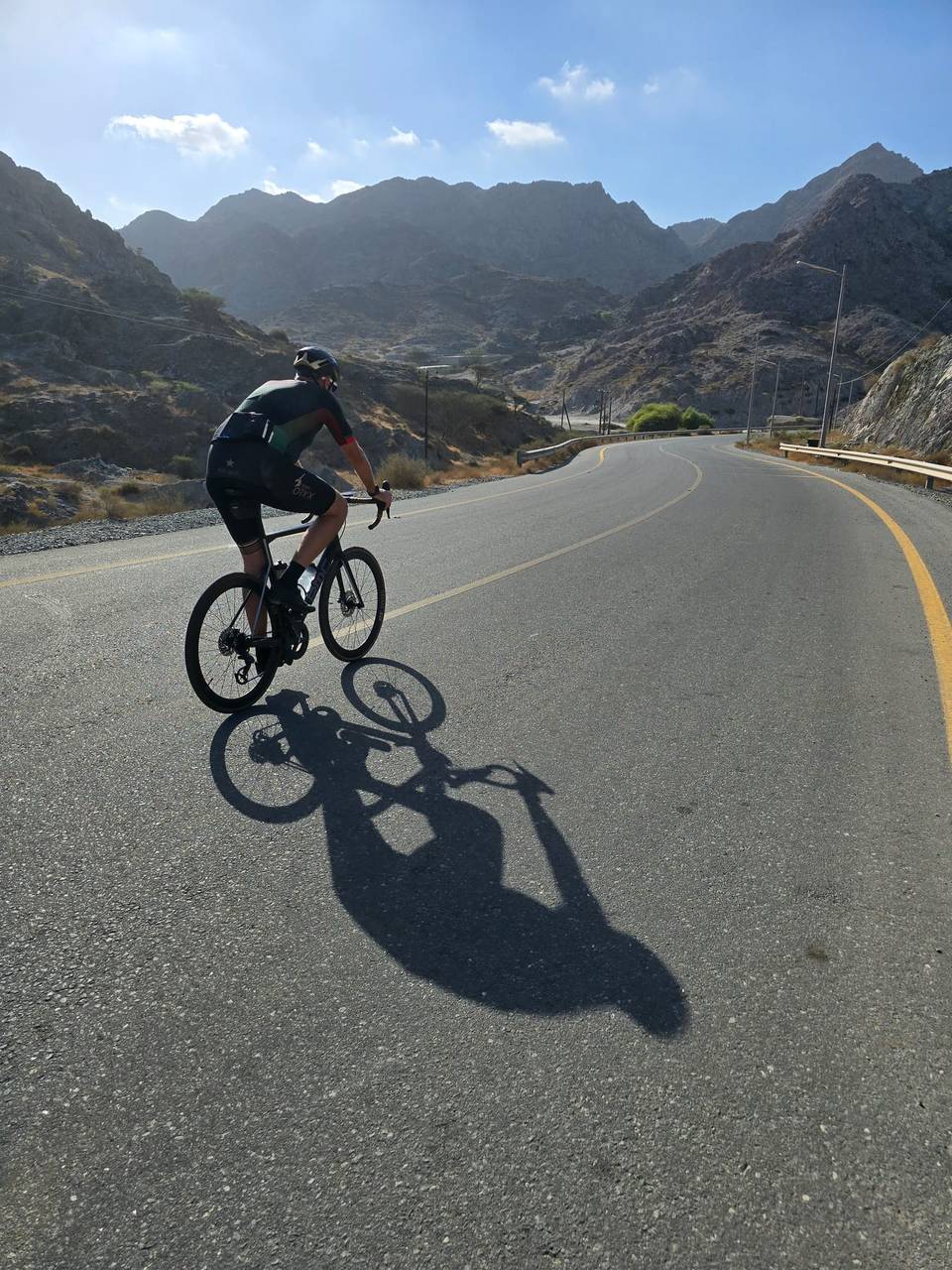
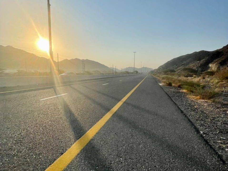
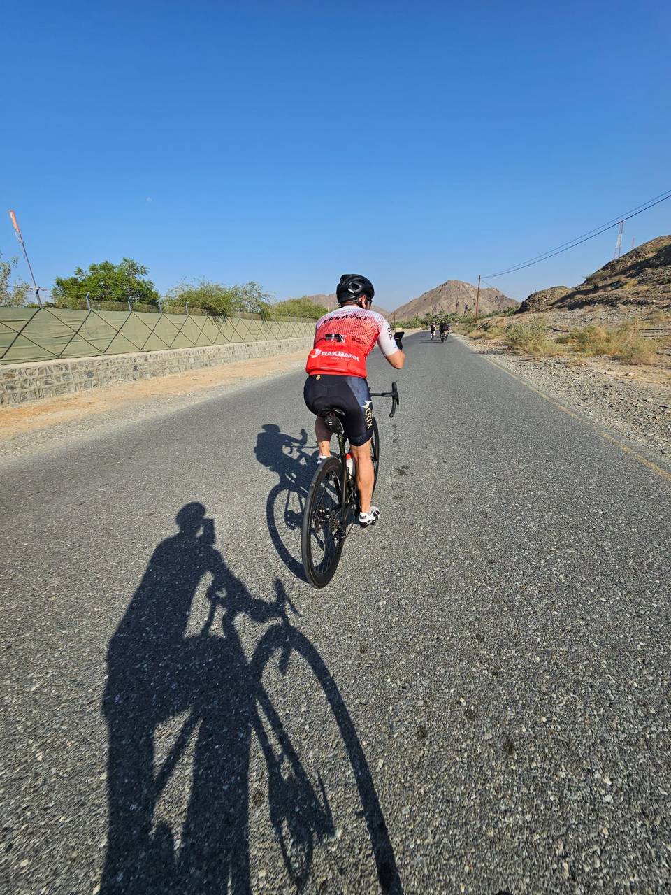
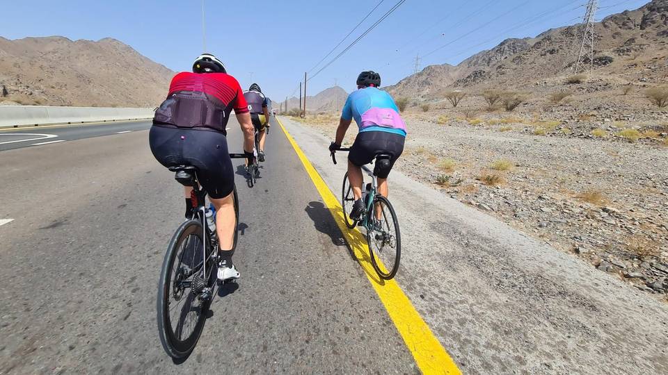
The route starts at Showka, passing through small places including Saram, Sram, Ar Riwedah, and Jerief in the first 10 km. After 9.2 km, the first climb begins, a 3.8 km ascent gaining 92 m at an average gradient of 2.4%, reaching a top height of 286 m. Continuing through several small settlements, the road surface is fully paved throughout the route. Most of the ride is on major and main roads, including over 60 km on major roads, but these lack cycle lanes for 87.6 km. Traffic is on fast roads with speeds over 80 km/h for 82.9 km. There is a long stretch without any café, shop or water lasting 31.5 km, starting soon after 4.4 km and lasting until 35.9 km.
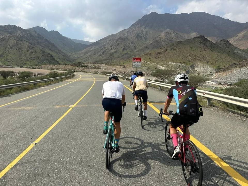
After 41.9 km, the second climb starts, climbing 231 m over 4.8 km at an average 4.9% gradient with a maximum pitch of 14.7%, reaching 505 m elevation and near the highest point of the route at 534 m near 50.9 km. The route passes near peaks Qarn Fardah (310 m at 22.9 km), Jabal Tus (557 m at 65.5 km), Jabal Ashqar (270 m at 76 km), and Jibal Al Hamrah (217 m at 91.6 km). Places like Masafi lie around 58 km, with the route meeting shops, petrol stations, and restaurants at various points including the start and finish town. The longest descent is 9.3 km starting from 65.3 km, descending 178 m.
| Climb | Starts at | On this ride | Full ascent | Top on this ride |
|---|---|---|---|---|
| Unnamed climb | 9.2 km | 3.8 km · 92 m · 2.4 % · max 5.1 % | — | 286 m |
| Al Ghūnah climb (498 m) | 41.9 km | 4.8 km · 231 m · 4.9 % · max 14.7 % | 4.8 km · 234 m · 4.9 % | 505 m |
| Al Ghūnah climb (506 m) | 43.7 km | — | 8.4 km · 244 m · 2.9 % | 517 m |
This is not a cycle-track route: 86% is on main roads without a cycle lane, 82.9 km of it where the limit is 80 km/h or more. Riders should be comfortable sharing the road with faster traffic.
The longest stretch without a café, shop or water is 32 km, from km 4 to 36. Along the route: 5 cafés and restaurants, 7 shops and 8 petrol stations.