Cyclists.com

Showka Loop via Yaif and Jabal Naselah

Showka, Ras Al Khaimah, United Arab EmiratesRoad

Route contributed by Marcus · Created from a ride on Saturday 15th January 2022

108 km
Distance
1,238 m
Elevation gain
Hard
Difficulty
Paved
Surface
Download GPXMap
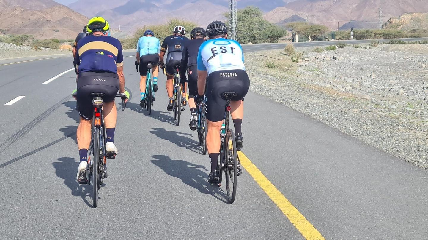
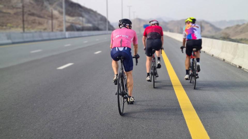
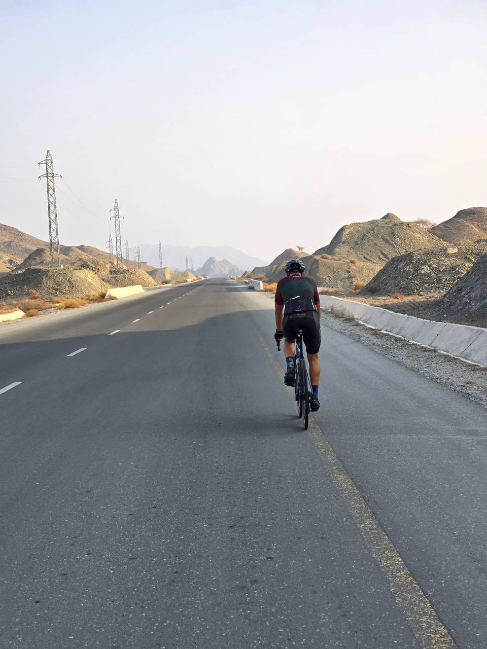
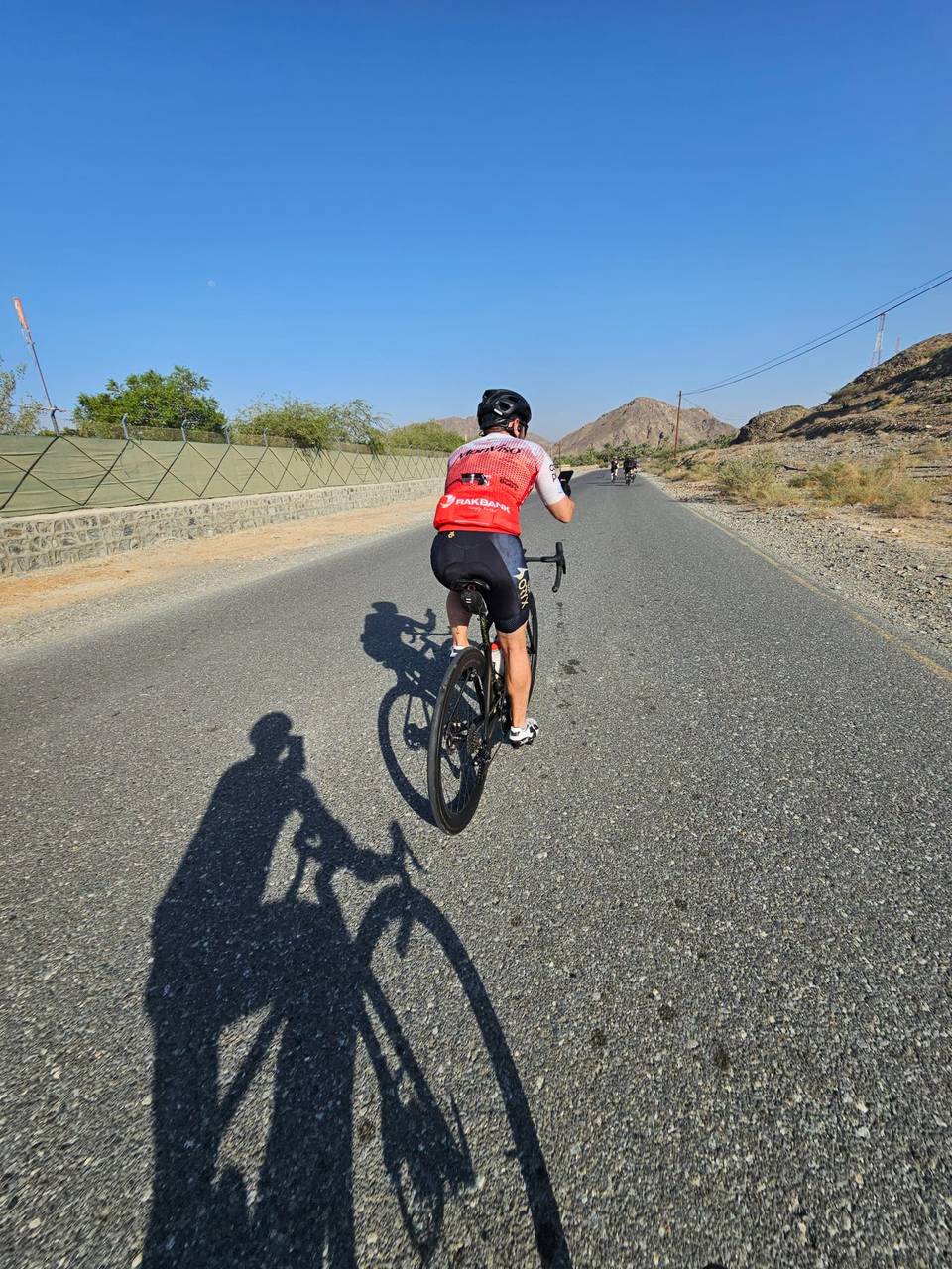
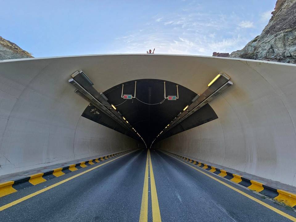
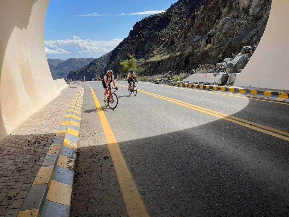
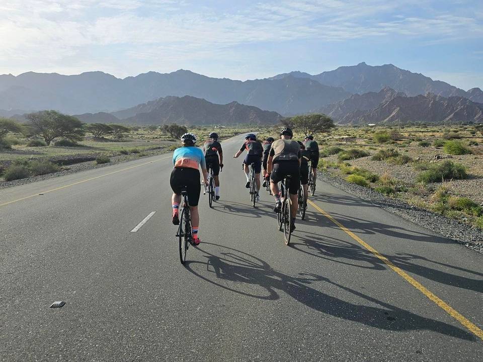
On the road: Showka Loop via Yaif and Jabal Naselah

Elevation profile

Total ascent
1,238 m
Distance
108 km
0200400600m0 km255075108 km564 m · highest, at 71.8 kmStartFinish · back at the start

Route overview

Riders suited to a long 108 km ride with moderate climbing of 1116 m.

108 km loop ride in the Hajar Mountains from Showka with 1116 m climbing.

Starting from Showka, the route first passes through Musseili at 6.1 km and proceeds to Yaif at 25.4 km before reaching Al Qor and Sha'biyyat Milāḩ. The first significant climb begins at 14.8 km, ascending 188 m over 5.1 km with an average gradient of 3.7% and a max of 11.5%, reaching 527 m. After descending, there is a shorter climb around 29.2 km and terrain that fluctuates with smaller climbs later on. Major settlements on the route include Huwaylat (42.3 km), Fashrah, Rāfāq, Al Naslah and others, providing occasional points to stop or resupply.

Highlights

  • Climb starting at 66.6 km with 315 m gain at 8.4% avg gradient
  • Passing Jabal Naselah peak at 56.4 km, 178 m high
  • Longest descent over 4.2 km dropping 201 m starting near 20.4 km
  • Sharjah - Kalba Road ridden for 25.1 km

Along the route

Measured from the recorded track and OpenStreetMap.

Places passed

  1. Musseili 6.1 km
  2. Yaif 25.4 km
  3. Al Qor 27.8 km
  4. Sha'biyyat Milāḩ 33.8 km
  5. Huwaylat 42.3 km
  6. Fashrah 46.7 km
  7. Rāfāq 51 km
  8. Al Naslah 53 km
  9. Um al Ghaf 55.8 km
  10. Wahala 59.7 km
  11. Shia 73.4 km
  12. Harrah 73.8 km
  13. Fayyad 77.9 km
  14. Minazif 79.2 km
  15. Al Qilē'ī 79.8 km
  16. Munay 86.1 km

Climbs

ClimbStarts atLengthGainAverageMaxTop
Showka climb14.8 km5.1 km188 m3.7 %11.5 %527 m
29.2 km1.5 km42 m2.8 %4.8 %315 m
64.3 km1.7 km46 m2.8 %3.8 %186 m
Showka climb66.6 km3.8 km315 m8.4 %18.2 %496 m
79.6 km2 km65 m3.2 %5 %308 m
92.5 km5.1 km148 m2.9 %8 %481 m

High point 564 m at 70.6 km; low point 87 m. Passes beneath Jabal Naselah, Jabal Al Miqsha, Jabal Ash Shahayrah.

Showka climb · starts at 14.8 km

5.6 km at 3.6% · 203 m
350400450500m3.7%4.1%3.0%4.5%0 km123455.7 km533 msteepest 4.5%
< 4%4 – 7%7 – 10%> 10%

Showka climb · starts at 66.6 km

3.6 km at 7.7% · 277 m
200250300350400450m10%13%0 km1233.8 km484 msteepest 12.6%

What this ride is like

Measured from OpenStreetMap along the track and the elevation profile.

Roads
47% motorway · 36% main road · 10% minor road · 5% other
Main roads
87.9 km on main roads without a cycle lane — likely busier
Fast roads
43.1 km on roads with a limit of 80 km/h or more
Main roads used
Sharjah - Kalba Road (25 km), Al Watan Road (22 km)
Surface
Paved throughout
Gradient
22% climbing · 23% descending · 55% flat
Steep sections
5.7 km over 5% · 3.9 km over 8% · 2.1 km over 10% · steepest 500 m averages 20.2% at 71.2 km
Longest descent
4.2 km from 20.4 km, dropping 201 m

Along the way

Within a few hundred metres of the track, from OpenStreetMap. Opening hours change — treat this as where to look, not a promise.

Longest stretch without a café, shop or water: 65 km, from 42 km to 106 km.

Food, water and shops

  1. 41.8 kmnaseem al howailat · supermarket · 30 m off route
  2. 41.8 kmADNOC · petrol station · 140 m off route
  3. 93 kmToilets · 40 m off route
  4. 100.7 kmToilets · 40 m off route
  5. 106.2 kmShowka Bicycles · bike shop · 500 m off route

Worth a stop

  • 56.5 kmJabal Naselah (peak, 178 m)

At the start and finish

  • Showka Bicycles · bike shop · 600 m

Practical information

Surface
Paved
Route shape
Loop
Riding time
3½–5 hours riding
Season
January with recorded temperature of 19°C.
Best months
Dec to Feb — daily highs of 24–26 °C in those months

Know before you go

  • 64.6 km stretch with no café, shop or water from 41.8 km
  • 87.9 km on main roads without a cycle lane
  • 43.1 km on roads with speed limits 80 km/h or higher
  • 2% of route on unpaved or gravel sections

Routes are for inspiration. Roads, surfaces and conditions change — check locally and ride within your limits.

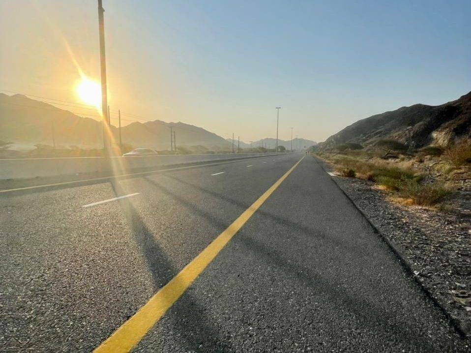
2 photographs from the road

More rides from Showka