Cyclists.com

Kalba to Dubai via Hatta

Kalba, Hajar Mountains, United Arab EmiratesRoad

214 km
Distance
1,265 m
Elevation gain
Hard
Difficulty
Paved
Surface

Elevation profile

1,265 m over 214 km

Route overview

Experienced distance riders comfortable with 214 km in a day; the 1,265 m of climbing is spread gently, so endurance matters more than climbing legs.

A 214 km point-to-point across the Hajar Mountains from Kalba to Dubai, with 1,265 m of climbing and two crossings in and out of Oman.

The route leaves Kalba through Al Wa'ab and Sikhēbar and turns inland past Sha'biyyat Milāḩ and Al Qor, where the first climb begins at km 13.6: 3.1 km at 2.6% average, 4.3% at its steepest, topping out at 410 m. Beyond it the road runs beneath the 508 m summit at km 18.3 and past Jabal Mudayrah (472 m) and Jabal Laim (420 m), reaching restaurants at km 29.5. The middle section threads a string of mountain villages — As Simsimānīyah, Huwaylat, Fashrah, Rāfāq, Al Naslah and Um al Ghaf — passing Jabal Naselah (178 m) and, at km 79.2, Jabal Al Miqsha (400 m). The second climb starts at km 92.9, 3.6 km at 2.3% to 439 m, with a viewpoint at km 96.9 just before the high point of 484 m at km 97.3. From there the profile tilts down. Jabal Ash Shahayrah (532 m) and Jabal Al Hinnah (637 m) stand off the road before Milehah at km 120.8 and Qatah at km 146.6. The last 60 km run through Dubai's suburbs — Al Ttay, Ras Al Khor, Business Bay, Al Safa — to the low point of 41 m at km 200.6 and the finish at Nakhlat Jumeira.

Highlights

  • High point of 484 m at km 97.3, with a viewpoint just before
  • Past Jabal Al Hinnah (637 m) and Jabal Ash Shahayrah (532 m)
  • Two graded climbs, at km 13.6 and km 92.9
  • Finish at The View at The Palm, Nakhlat Jumeira

Along the route

Measured from the recorded track and OpenStreetMap.

Places passed· crosses into Oman

  1. Al Wa'ab 2.3 km
  2. Sikhе̄bar 2.9 km
  3. Sha'biyyat Milāḩ 8.1 km
  4. Al Qor 10.9 km
  5. Sufayri 28.8 km
  6. As Simsimānīyah 37.8 km
  7. Huwaylat 40.6 km
  8. Fashrah 45.2 km
  9. Rāfāq 49.5 km
  10. Al Naslah 51.5 km
  11. Um al Ghaf 54.2 km
  12. Wahala 58.1 km
  13. Shia 71.8 km
  14. Harrah 72.1 km
  15. Fayyad 76.1 km
  16. Minazif 77.4 km
  17. Al Qilē'ī 77.9 km
  18. Munay 85.8 km
  19. Milehah 120.8 km
  20. Qatah 146.6 km
  21. Al Ttay 157 km
  22. Aleyas 159.9 km
  23. Al Athbah 168.9 km
  24. Al Warqa'a 5 171.4 km
  25. Warsan 2 172.7 km
  26. Al Warqa'a 3 175.6 km
  27. Warsan 1 175.6 km
  28. Al Warqa'a 1 176.4 km
  29. Ras Al Khor Industrial 3 178.3 km
  30. Ras Al Khor Industrial Area 180.6 km
  31. Al Kheeran 1 181.4 km
  32. Ras Al Khor Ind 2 181.4 km
  33. Ras Al Khor 182.9 km
  34. Ras Al Khor Industrial 1 182.9 km
  35. Bukadra 185.1 km
  36. Business Bay 190 km
  37. Al Quoz 1 192 km
  38. Al Safa 1 194 km
  39. Al Safa 195.5 km
  40. Al Quoz 3 195.5 km
  41. Umm Suqeim 1 196.4 km
  42. Al Safa 2 196.4 km
  43. Al Quoz Industrial 1 197.2 km
  44. Al Manara 198.7 km
  45. Al Quoz Industrial 3 200 km
  46. Umm Al Sheif 200.6 km
  47. Umm Suqeim 3 202.4 km
  48. Al Sufouh 1 204.1 km
  49. Al Sufouh 2 207 km
  50. Nakhlat Jumeira 210 km

On the road

  • Bab Alsham (Restaurant) 29.5 km
  • Janam Café & Restaurant (Restaurant) 29.5 km
  • Viewpoint 96.9 km
  • Café 120.1 km
  • Rabiee Al Dar (Restaurant) 120.1 km
  • ADNOC (Fuel station) 139.2 km
  • Emarat (Fuel station) 160.5 km
  • Fuel station 168.9 km
  • pt 12904 (Water) 173.1 km
  • Eat & Drink Restaurant (Restaurant) 179 km
  • Tasty Food Restaurant (Restaurant) 182.9 km
  • Afghan Khorasan Restaurant (Restaurant) 192 km

Climbs

Starts atLengthGainAverageMaxTop
13.6 km3.1 km78 m2.6 %4.3 %410 m
92.9 km3.6 km84 m2.3 %4.2 %439 m

High point 484 m at 97.3 km; low point 41 m. Passes beneath Jabal Mudayrah, Jabal Laim, Jabal Naselah.

Practical information

Surface
Paved
Route shape
Point to point
Riding time
3–4½ hours riding

Know before you go

  • Route crosses in and out of Oman twice — carry documents
  • No food or water listed between km 29.5 and the café at km 120.1
  • 27°C recorded in April; heat is a factor on the mountain section

Routes are for inspiration. Roads, surfaces and conditions change — check locally and ride within your limits.

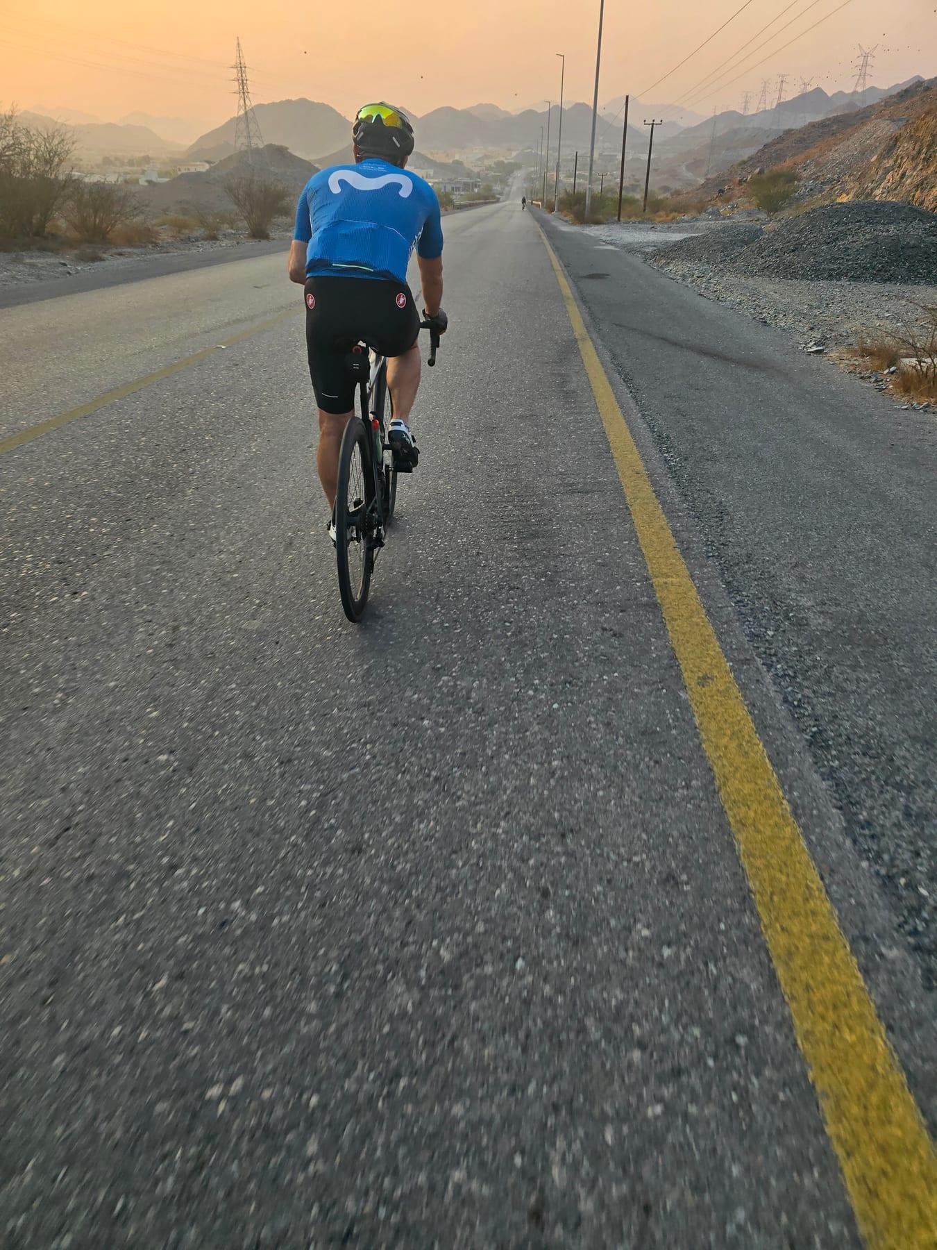
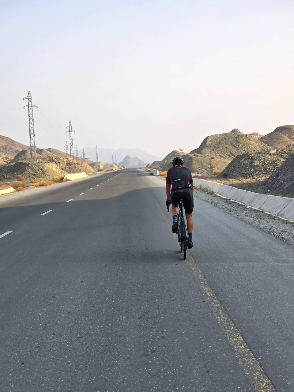
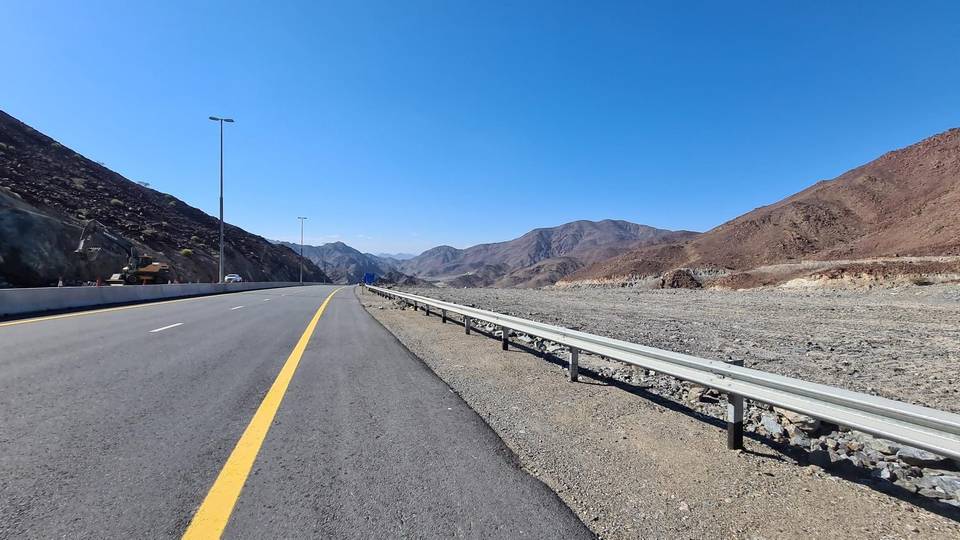
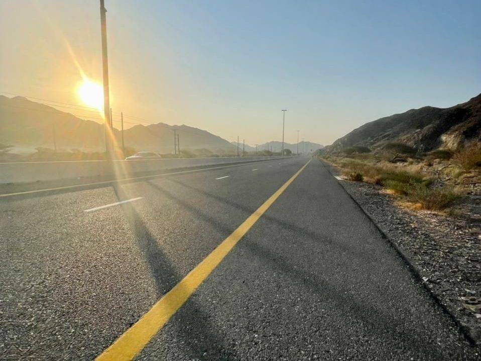
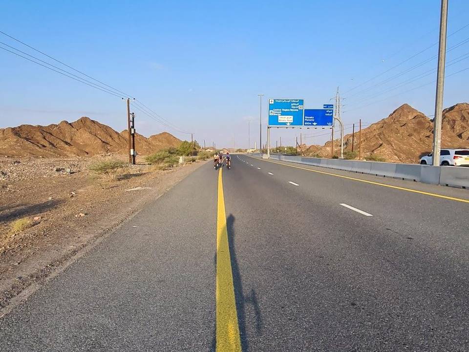
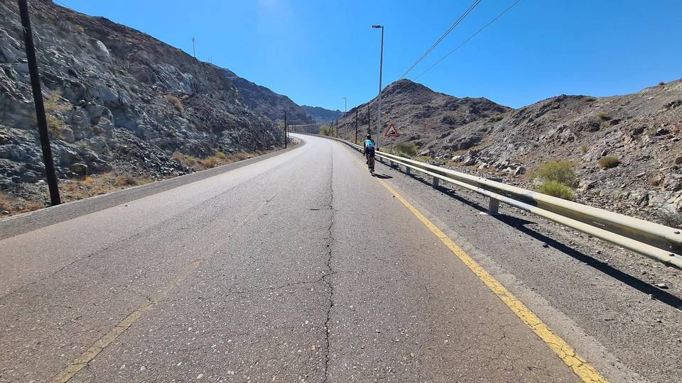
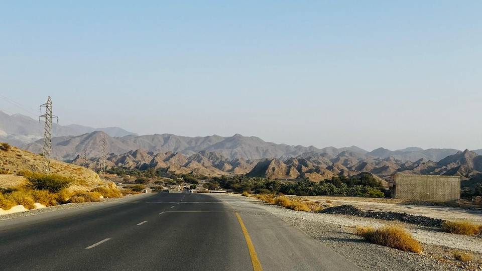
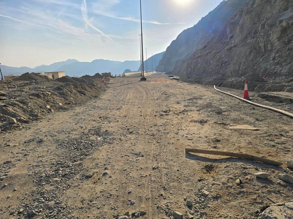
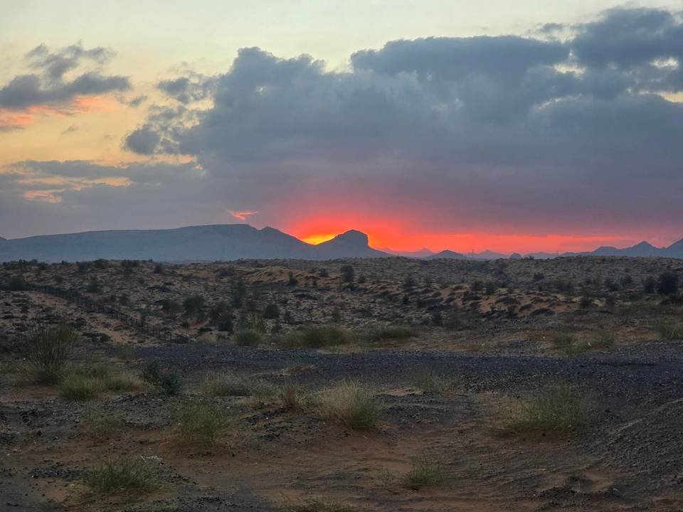
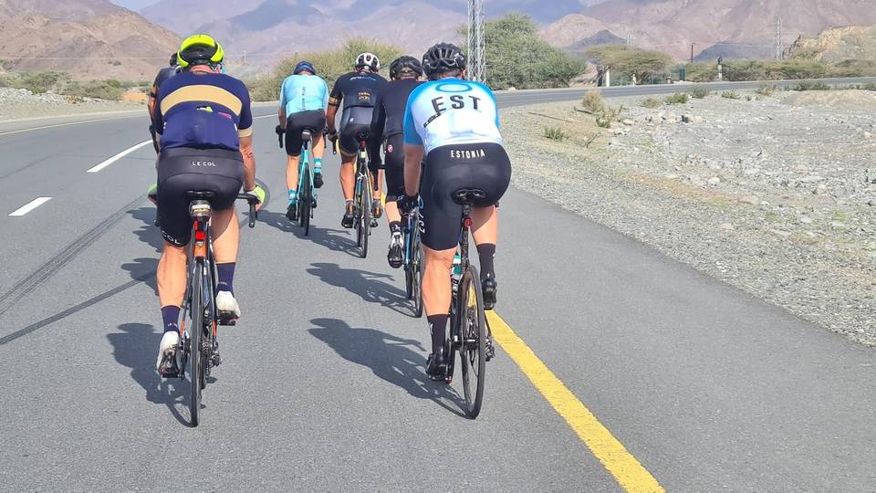
4 photographs from the road

More rides from Kalba