
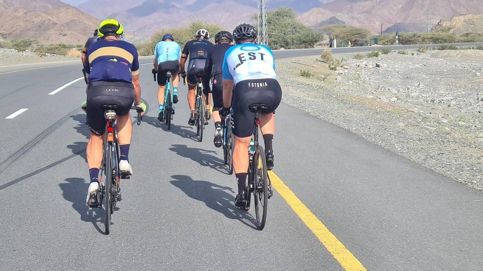
Road · United Arab Emirates
A hilly 88 km road cycling loop from Munay, Ras Al Khaimah through Al Wa'ab, Sha'biyyat Milāḩ and Al Qor (new village), with 919 m of climbing over Showka climb (484 m). Most of it (63.4 km) is on main roads without a cycle lane, 20.6 km where the limit is 80 km/h or more. There is a 46 km stretch without a café, shop or water (km 41–87).
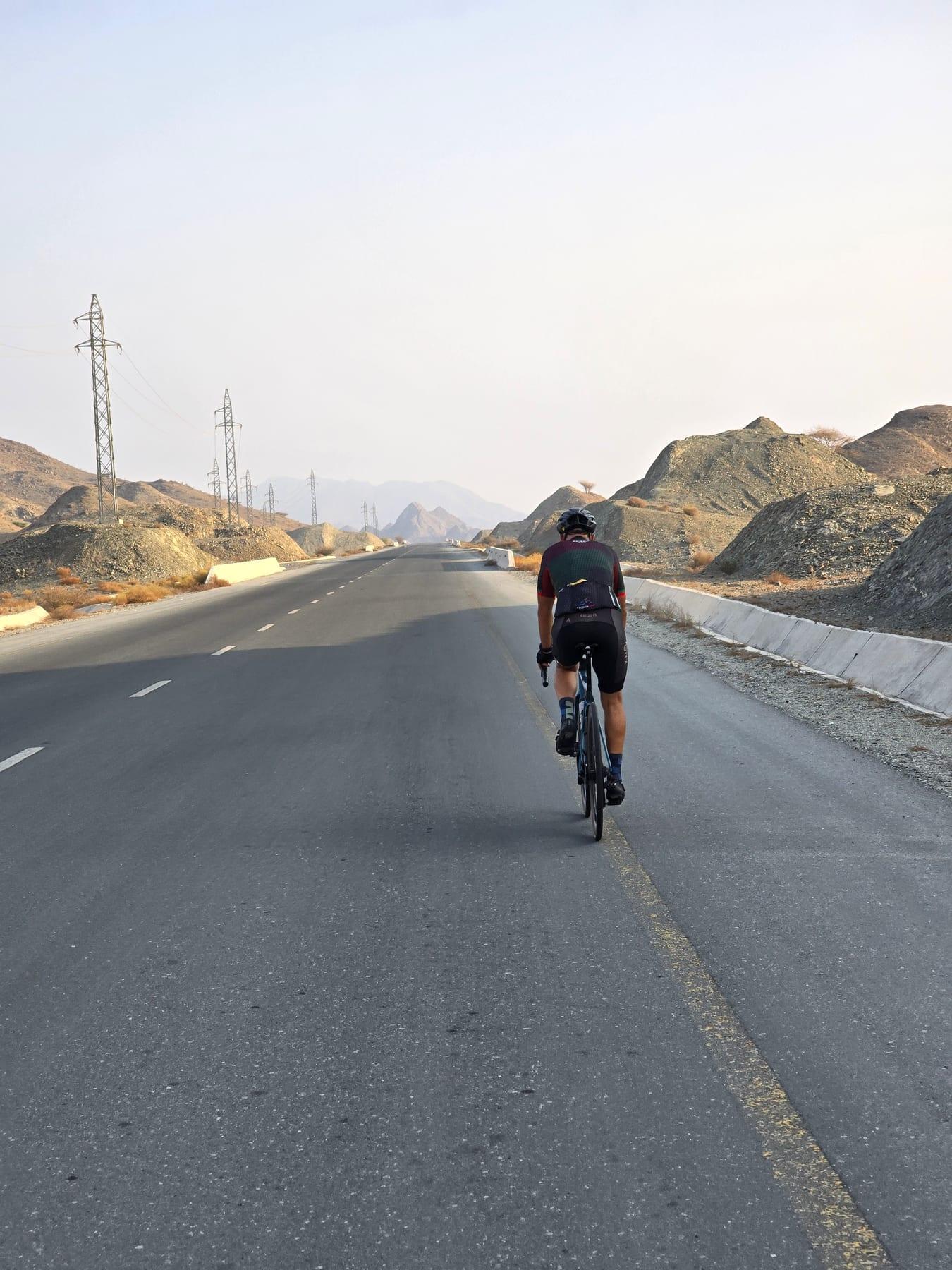
The ride starts and finishes at Munay, passing through Al Wa'ab and Sha'biyyat Milāḩ before reaching Al Qor around 11.5 km. From Al Qor, there are a series of climbs including a 3.4 km climb gaining 96 m and a 1.5 km climb gaining 42 m, both gentle and averaging around 3% gradient. The route continues towards Hatta at 29.2 km, then passes Sufayri and Huwaylat before a second climbing section near 31 km with steeper gradients up to 7.5% lasting about 3.4 km in two parts. After a long descent from about km 35.5, the second half has more rolling climbs including a notable 3.6 km climb with an average of 7.7% and a maximum of 11.8% near km 66.6.
| Climb | Starts at | On this ride | Full ascent | Top on this ride |
|---|---|---|---|---|
| Unnamed climb | 14.8 km | 3.4 km · 96 m · 2.9 % · max 4.6 % | — | 419 m |
| Unnamed climb | 18.5 km | 1.5 km · 42 m · 2.8 % · max 4.1 % | — | 455 m |
| Unnamed climb | 31.1 km | 2.3 km · 84 m · 3.7 % · max 5.7 % | — | 386 m |
| Unnamed climb | 33.9 km | 1.1 km · 51 m · 4.6 % · max 7.5 % | — | 406 m |
| Unnamed climb | 64.3 km | 1.7 km · 46 m · 2.7 % · max 3.7 % | — | 186 m |
| Showka climb (484 m) | 66.6 km | 3.6 km · 277 m · 7.7 % · max 11.8 % | 3.6 km · 277 m · 7.7 % | 458 m |
| Unnamed climb | 79.6 km | 2 km · 68 m · 3.5 % · max 5 % | — | 308 m |
This is not a cycle-track route: 72% is on main roads without a cycle lane, 20.6 km of it where the limit is 80 km/h or more. Riders should be comfortable sharing the road with faster traffic.
The longest stretch without a café, shop or water is 46 km, from km 41 to 87. Along the route: 10 cafés and restaurants, 4 shops, 1 water point, 4 petrol stations and 1 public toilet.
