Cyclists.com

Al Aqah to Nazwa

Al Aqah, Hajar Mountains, United Arab EmiratesRoad

156 km
Distance
945 m
Elevation gain
Hard
Difficulty
Paved
Surface
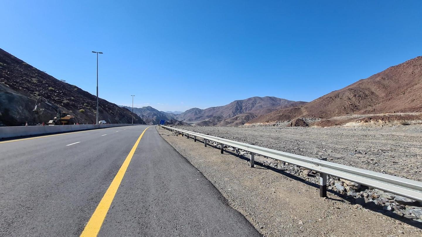
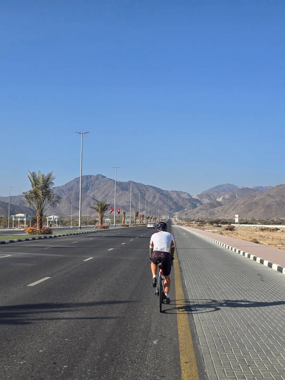
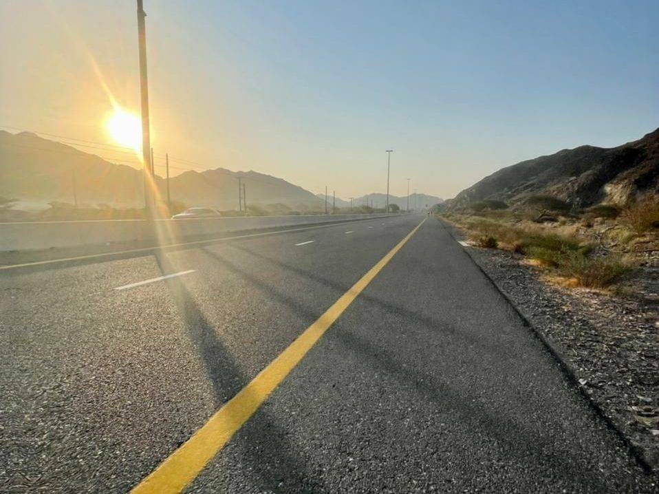
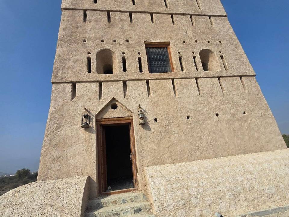
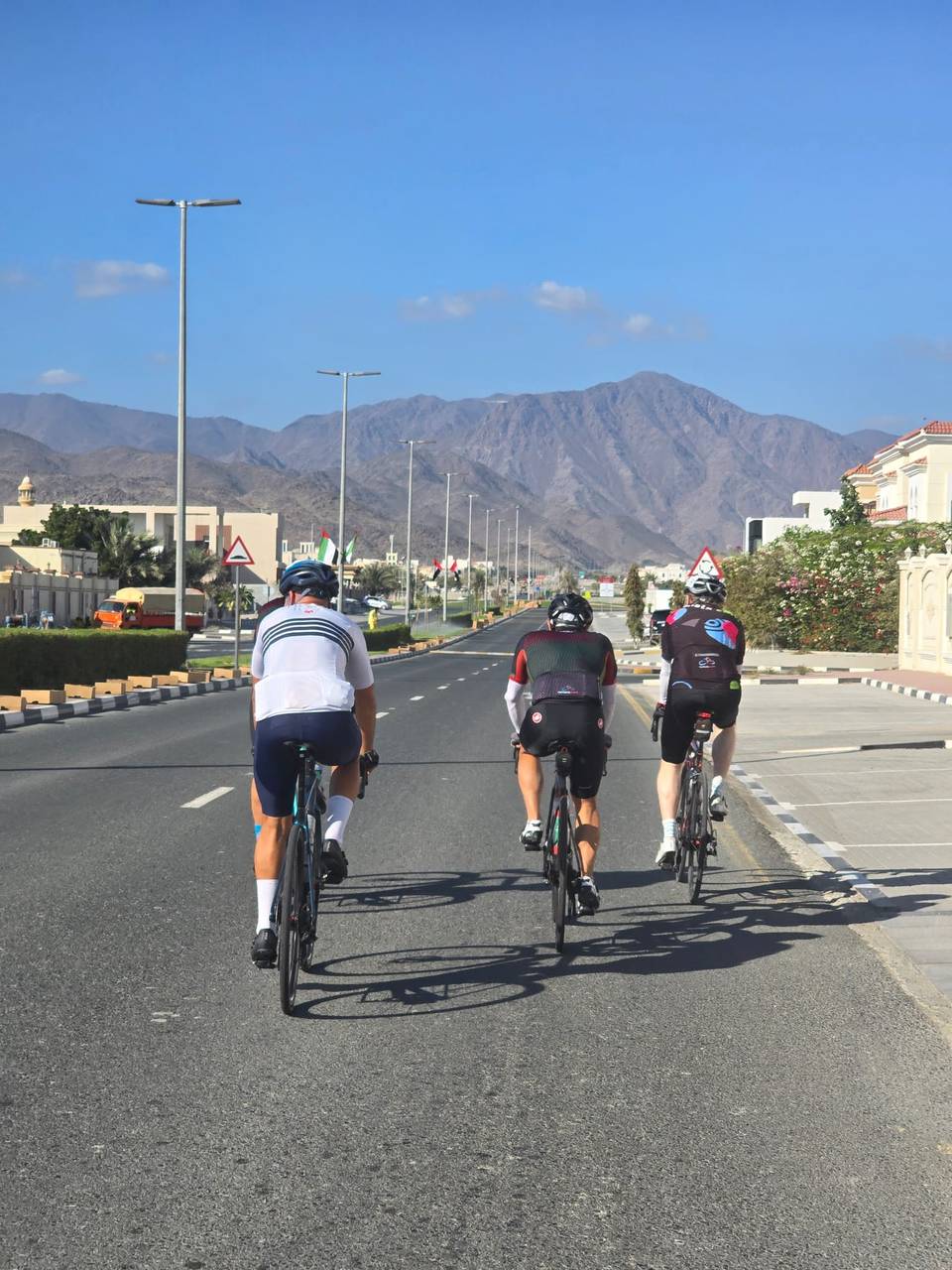
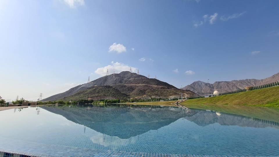
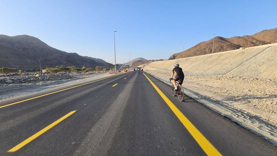
On the road: Al Aqah to Nazwa

Elevation profile

945 m over 156 km

Route overview

Suited to riders comfortable with a 155.7 km day and 945 m of moderate, well-graded climbing.

A 155.7 km point-to-point ride from Al Aqqah down the Hajar coast through Khor Fakkan and Kalba, then inland over 945 m of climbing.

The route leaves Al Aqqah and runs south along the coast, passing Sharm, Haqil and Al Badīyah in the first 7 km beneath Jabal al MInab (156 m) and Jabal al Habil (288 m). Through Lulayyah and into Khor Fakkan at km 16.6 the road is flat and heavily served with cafés, restaurants and fuel stations. Past Jabal Abu Ziba (248 m) it continues by Mirbah and Qurayyah, then on through Sakamkam and the long string of Kalba suburbs, reaching Kalba itself at km 53.5. The lowest point of the day, 25 m, comes at km 60.2. From there the ride turns inland and the climbing begins. A 4.1 km rise at 4.3% starts at km 62.1 and tops out at 208 m, followed by shorter steps of 2.1 km at 3.1% from km 75.5 and 1.8 km at 2.2% from km 80.2, past Minazif and Al Qilē'ī. The last sustained effort, 4.8 km at 2.7% with a maximum of 6.2%, begins at km 92.8 and leads to the high point of 499 m at km 98.2. The closing 55 km run down through Musseili, Filli, Sha'biyyat Bahayis and Al Dafain to the finish at Nazwa, with 47% of the total gain already behind by halfway.

Highlights

  • Coastal opening through Khor Fakkan and Kalba
  • 4.1 km climb at 4.3% from km 62.1
  • High point of 499 m at km 98.2
  • Peaks Jabal al Habil (288 m) and Jabal Abu Ziba (248 m)

Along the route

Measured from the recorded track and OpenStreetMap.

Places passed

  1. Sharm 2.7 km
  2. Haqil 5.5 km
  3. Nehay 5.5 km
  4. Al Badīyah 6.6 km
  5. Zubarah 10 km
  6. Lulayyah 11.2 km
  7. Al Mudaifi 14.9 km
  8. Al Rifa'a 16.3 km
  9. Al Hayawah 16.3 km
  10. Khor Fakkan 16.6 km
  11. Al Hutain 16.9 km
  12. Al Yarmouk 17.5 km
  13. Al Burdi 17.5 km
  14. Al Musalla 18.7 km
  15. Al Qadsia 18.7 km
  16. Madha 24.1 km
  17. Mirbah 25.7 km
  18. Sha'biyyāt Qirat 26 km
  19. Qurayyah 27.5 km
  20. Ishwais 38.5 km
  21. Al Hilal 39.8 km
  22. Sakamkam 39.8 km
  23. Al Sharia 1 40.4 km
  24. Al Sharia 41 km
  25. Al Faseel 42.8 km
  26. Al Mahatta 43.3 km
  27. Safad 43.5 km
  28. Owaid 43.8 km
  29. Ghalala 45.1 km
  30. Merashid 46.2 km
  31. Al Gurfaa 46.5 km
  32. Rughaylat 47.1 km
  33. Sour Kalba 48.9 km
  34. Suhaila 49.9 km
  35. Al Husen 50.2 km
  36. Darweshia 50.5 km
  37. Al Bhaies 50.8 km
  38. A'quola 50.8 km
  39. Al Mughaider 51.2 km
  40. Dhyatt 51.8 km
  41. Al Khuwair 52.1 km
  42. Hitteen 52.5 km
  43. Al Sidrah 53.1 km
  44. Al Bateen 53.1 km
  45. Al Qadesia 53.1 km
  46. Kalba 53.5 km
  47. Al Bardi 53.8 km
  48. Al Aoud 53.8 km
  49. Al Nighala 54.4 km
  50. Al Mafraq 54.8 km
  51. Khawr Kalba 55.1 km
  52. Al Quala'a 55.4 km
  53. Al Maqt'a 58.1 km
  54. Al Saaf 59 km
  55. Al Ghail 59.3 km
  56. Minazif 79.5 km
  57. Al Qilē'ī 80.5 km
  58. Munay 86.7 km
  59. Musseili 112.9 km
  60. Filli 123 km
  61. Sha'biyyat Bahayis 133.6 km
  62. Al Dafain 140.6 km

On the road

  • Ice Palace (Restaurant) 6.6 km
  • Al Majlis Al Arabi Mandi & Madfoun Restaurant (Restaurant) 6.6 km
  • Café 11.5 km
  • Restaurant 11.8 km
  • ADNOC (Fuel station) 13.6 km
  • Hardees (Restaurant) 14.2 km
  • Pizza Hut (Restaurant) 14.2 km
  • Café 14.9 km
  • Rebou Lebanon Restaurant (Restaurant) 14.9 km
  • Aish W Melh (Restaurant) 15.1 km
  • Café 15.1 km
  • Cafteria Al Shabab (Café) 15.4 km

Climbs

Starts atLengthGainAverageMaxTop
62.1 km4.1 km176 m4.3 %6 %208 m
75.5 km2.1 km64 m3.1 %5.9 %267 m
80.2 km1.8 km40 m2.2 %5 %300 m
92.8 km4.8 km128 m2.7 %6.2 %479 m

High point 499 m at 98.2 km; low point 25 m. Passes beneath Jabal al MInab, Jabal al Habil, Jabal al Balush.

Practical information

Surface
Paved
Route shape
Point to point
Riding time
6–8 hours riding

Know before you go

  • No cafés, restaurants or fuel listed after km 51 — over 100 km unsupported
  • Long inland section with maximum gradients to 6.2%

Routes are for inspiration. Roads, surfaces and conditions change — check locally and ride within your limits.

6 photographs from the road

More rides from Al Aqah