Road · United Arab Emirates
Al Aqah to Nazwa via the Mountains
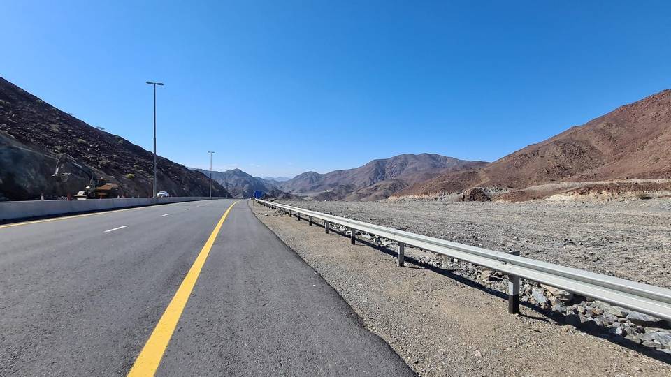
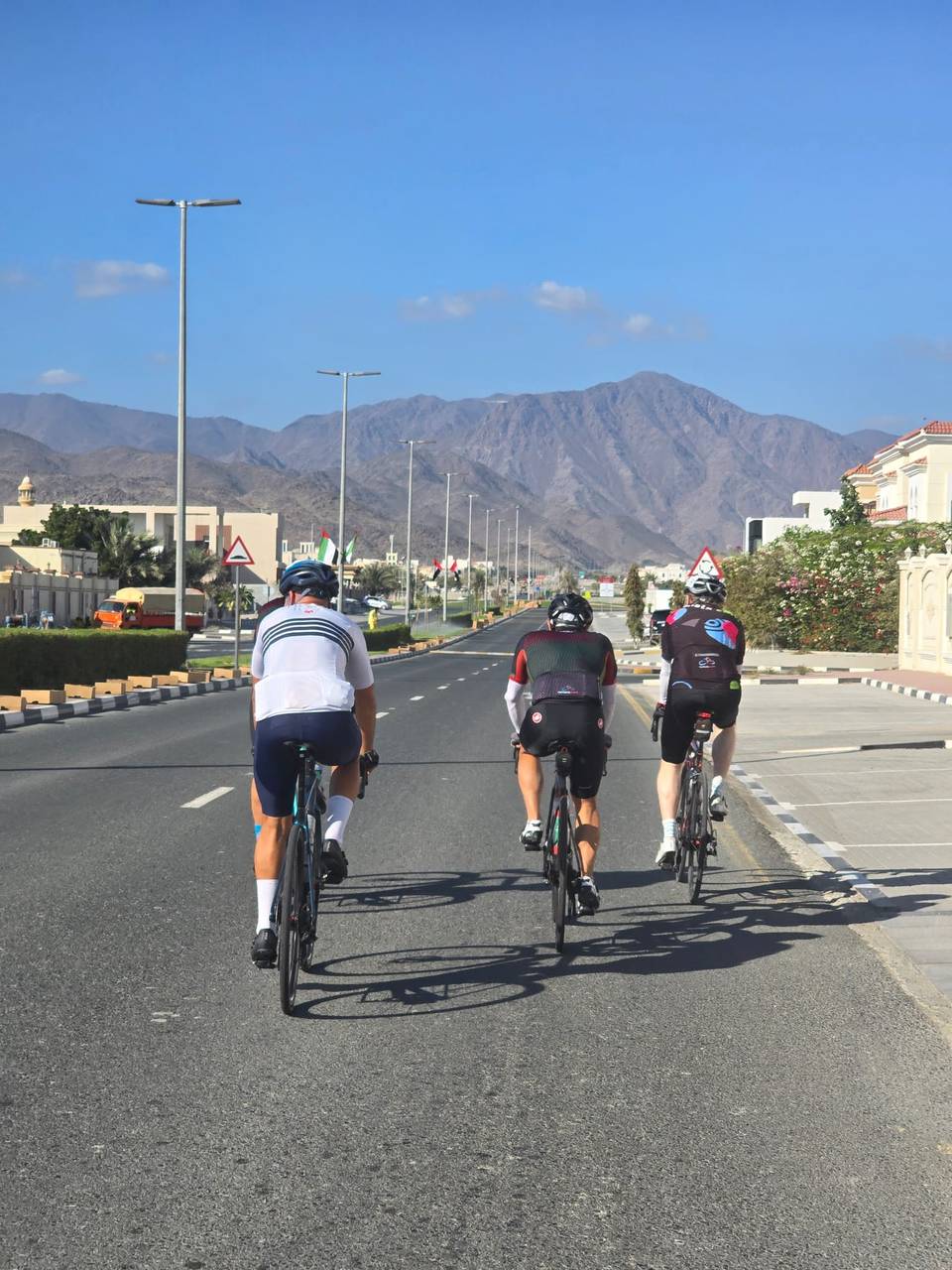
A rolling 167 km road cycling route from Al Aqah, Fujairah to Nazwa via the Mountains through Rul Dadna, Al Ghurfa and Al Murabah, with 725 m of climbing over Zahir As Safwah climb (286 m). Most of it (151.5 km) is on main roads without a cycle lane, 104 km where the limit is 80 km/h or more. There is a 29 km stretch without a café, shop or water (km 21–50).
At a glance
- Best for
- Long endurance days for confident riders at ease in traffic
- Distance
- 166.8 km
- Elevation gain
- 725 m
- Riding time
- 6–8½ hours
- Difficulty
- Hard
- Bike
- Road bike
- Surface
- Paved
- Traffic
- Mostly main roads
- Food & water
- Longest gap 29 km
- Best months
- Dec to Mar
- Navigation
- GPX download
- Start → finish
- Al Aqah → Nazwa via the Mountains
Map and elevation profile
Elevation profile
- 725 m
- 167 km
Route description
- Al Aqah
- Rul Dadna
- Al Ghurfa
- Al Murabah
- Ghub
- Zahir As Safwah climb (286 m)
- Al Muhtarqah
- Al Haniyah
- Musseili
- Nazwa via the Mountains
The route heads from Al Aqah at sea level, moving inland through a series of small places including Rul Dadna, Al Fiqait, and Dibba Al Fujairah within the first 18 km. It crosses beneath peaks such as Jabal Dadna (102 m) near the start and Aqabat al Hadid (171 m) around 13 km. The profile includes mostly flat roads (87%) with a low point at 6.1 km (3 m) and a highest point near 41.4 km (290 m). Climbing totals 745 m, mostly in the first half (72% of gain).
Why ride this route?
- The longest of the 4 rides from Al Aqah.
- Climbs Zahir As Safwah climb (286 m) (6.4 km at 2.5 %).
Highlights
- Climb from 30.9 km to 37.4 km gaining 163 m
- Jabal Dadna peak at 102 m near start
- Qarn Fardah peak at 310 m around km 31
- Longest named road is Al Shohadaa Road for 27.3 km
Along the route
Places passed
Climbs
| Climb | Starts at | On this ride | Full ascent | Top on this ride |
|---|---|---|---|---|
| Zahir As Safwah climb (286 m) | 30.9 km | 6.5 km · 163 m · 2.5 % · max 3.6 % | 6.4 km · 157 m · 2.5 % | 274 m |
Zahir As Safwah climb (286 m) · full ascent, starts at 30.9 km
< 4%4 – 7%7 – 10%> 10%
Traffic, surface and gradient
This is not a cycle-track route: 91% is on main roads without a cycle lane, 104 km of it where the limit is 80 km/h or more. Riders should be comfortable sharing the road with faster traffic.
- Roads
- 60% main road · 32% major road · 3% quiet street · 2% minor road · 3% other roads and tracks
- Main roads
- 151.5 km on main roads without a cycle lane — likely busier
- Fast roads
- 104 km on roads with a limit of 80 km/h or more
- Main roads used
- Al Shohadaa Road (27 km), Digdaga Road (23 km), Dibba-Khor Fakkan Road (13 km), Masafi-Dibba Road (7 km)
- Surface
- Paved: 98% of the route is mapped as paved, 2% as unpaved.
- Gradient
- 8% climbing · 4% descending · 87% flat
- Longest descent
- 3.3 km from 41.7 km, dropping 85 m
Food, water and services
The longest stretch without a café, shop or water is 29 km, from km 21 to 50. Along the route: 37 cafés and restaurants, 24 shops, 3 water points, 12 petrol stations, 3 public toilets and 1 bike shop.
Food, water and shops in ride order
- 0 kmestacoza seafood · restaurant · 200 m off route
- 0 kmToilets · 210 m off route
- 14.7 kmZOOM · convenience store · 90 m off route
- 14.7 kmENOC · petrol station · 90 m off route
- 18.5 kmWater tap · 150 m off route
- 19.5 kmDibba Hospital · hospital · 270 m off route
- 20.2 kmADNOC · petrol station · 40 m off route
- 50.5 kmNujoom Al Saram restaurant · restaurant · 70 m off route
- 54 kmADNOC · petrol station · 110 m off route
- 78 kmMedical Center · clinic · 130 m off route
- 83.2 kmADNOC · petrol station · 60 m off route
- 95.1 kmKadrah Health Center · clinic · 140 m off route
- 105.7 kmDrinking water · 130 m off route
- 106.4 kmSupermarket · 70 m off route
- 107.6 kmShowka Bicycles · bike shop · 460 m off route
- 128.9 kmSharjah Coop · supermarket · 110 m off route
- 139.3 kmADNOC · petrol station · 60 m off route
- 163.4 kmDesert Mountain Supermarket · supermarket · 160 m off route
Worth a stop
- 39.5 km — Site 8 - 2 beehive tombs (archaeological site)
Start and access
At the start
- Food and coffee
- estacoza seafood (200 m), Subway (250 m), Sapore (240 m)
At the finish
- Food and coffee
- Al Fareed Restaurant (160 m), Ghadeer Saeed Café & Restaurant (260 m)
- Shops
- Nazwa Valley Grocery (300 m), Desert Mountain Supermarket (320 m)
Know before you go
- 151.5 km on main roads without cycle lanes
- 104 km on roads with 80 km/h or higher speed limits
- Longest 29.3 km without café, shop or water from km 20.5 to 49.8
- Gravel/unpaved sections total 2% of route