
Cyclists.com

Al Aqah to Kalba

124 km road cycling loop275 m climbing4–6 hoursGPX

Al Aqah, Fujairah, United Arab Emirates · Road

A flat 124 km road cycling loop from Al Aqqah, Fujairah through Sharm, Al Hutain and Al Hilal, with 275 m of climbing. Most of it (79.1 km) is on main roads without a cycle lane, 34.7 km where the limit is 80 km/h or more.
Route contributed by Marcus · Created from a ride on Saturday 11th March 2023

Download GPXMap

At a glance

Best for
Long endurance days for confident riders at ease in traffic
Distance
124.2 km
Loop
Elevation gain
275 m
2 m per km
Riding time
4–6 hours
moving time, estimated
Difficulty
Hard
Bike
Road bike
from the mapped surface
Surface
Paved
97% paved · 0% unpaved · 3% no data
Traffic
Mostly main roads
79.1 km on main roads without a cycle lane · 34.7 km where the limit is 80 km/h or more
Food & water
Regular
100 cafés and restaurants · 28 shops · 18 petrol stations · 10 public toilets · 2 bike shops
Best months
Dec to Mar
Al Aqah climate, 10 years
Navigation
GPX download
free, no sign-in
Start and finish
Al Aqqah

Map and elevation profile

On the road: Al Aqah to Kalba, Al Aqah

Elevation profile

Total ascent
275 m
Distance
124 km
020406080m0 km255075100124 km65 m · highest, at 99.9 kmStartFinish · back at the start

Route description

  1. Al Aqqah
  2. Sharmkm 5
  3. Al Hutainkm 19
  4. Al Hilalkm 41
  5. Safadkm 45
  6. Darweshiakm 50
  7. Al Khuwairkm 52
  8. Al Nighalakm 54
  9. Qurayyahkm 91
  10. Al Aqqahkm 124

This 124.2 km loop starts and finishes in Al Aqah and travels through the Hajar Mountains region of the United Arab Emirates. The route heads through a series of places including Sharm, Khor Fakkan at 18.8 km, and Kalba at 53.3 km before returning by a different path. The profile is mostly flat, with 93% of the road flat, 4% climbing and 3% descending. The highest elevation is 70 m at 98.7 km, reached just after a short climb starting at 96.4 km with 2.1 km length, gaining 55 m at an average gradient of 2.6% and a max of 5%. The longest descent is 1.6 km long dropping 22 m.

Why ride this route?

  • The flattest of the 4 rides from Al Aqah.

Highlights

  • Al Aqah start and finish
  • Kalba at 53 km
  • Dibba-Khor Fakkan Road for 13.8 km
  • Peak near Jabal al Habil at 6.7 km

Along the route

Measured from the route line, the Copernicus elevation model and OpenStreetMap.

Places passed

  1. Sharm 5.3 km
  2. Nehay 8 km
  3. Al Badīyah 8.9 km
  4. Al Mudaifi 17.3 km
  5. Al Rifa'a 18.5 km
  6. Al Hayawah 18.8 km
  7. Khor Fakkan 18.8 km
  8. Al Hutain 19.2 km
  9. Al Yarmouk 19.9 km
  10. Al Musalla 21.1 km
  11. Al Qadsia 21.1 km
  12. Madha 26.7 km
  13. Sha'biyyāt Qirat 28.4 km
  14. Ishwais 39.5 km
  15. Al Hilal 40.7 km
  16. Sakamkam 40.7 km
  17. Al Sharia 1 41.2 km
  18. Al Sharia 41.7 km
  19. Al Faseel 42.9 km
  20. Owaid 44.2 km
  21. Ghalala 44.9 km
  22. Safad 44.9 km
  23. Merashid 45.2 km
  24. Al Gurfaa 46.3 km
  25. Rughaylat 47 km
  26. Sour Kalba 48.8 km
  27. Suhaila 49.6 km
  28. Al Husen 50 km
  29. Darweshia 50.2 km
  30. Al Bhaies 50.7 km
  31. A'quola 50.7 km
  32. Al Mahatta 50.9 km
  33. Al Mughaider 51.2 km
  34. Dhyatt 51.6 km
  35. Hitteen 52.2 km
  36. Al Khuwair 52.2 km
  37. Al Sidrah 52.9 km
  38. Al Bateen 52.9 km
  39. Al Qadesia 52.9 km
  40. Kalba 53.3 km
  41. Al Bardi 53.6 km
  42. Al Aoud 53.6 km
  43. Al Nighala 54.3 km
  44. Al Mafraq 54.5 km
  45. Khawr Kalba 54.9 km
  46. Al Quala'a 55.2 km
  47. Al Maqt'a 57.7 km
  48. Al Saaf 58.9 km
  49. Al Ghail 58.9 km
  50. Qurayyah 90.8 km
  51. Mirbah 92.5 km
  52. Al oqeer 93.7 km
  53. Al Burdi 100.5 km
  54. Al Khaledya 102 km
  55. Lulayyah 108.8 km
  56. Zubarah 110 km
  57. Haqil 114.6 km

Climbs

Climbs in ride order: where each starts, what this ride climbs, and the full named ascent
ClimbStarts atOn this rideTop on this ride
Unnamed climb96.4 km2.1 km · 55 m · 2.6 % · max 5 %67 m

High point 70 m at 98.7 km; low point 1 m. Passes beneath Jabal al MInab, Jabal al Habil, Jabal al Balush.

Traffic, surface and gradient

Measured from OpenStreetMap along the track and the elevation profile.

This is not a cycle-track route: 64% is on main roads without a cycle lane, 34.7 km of it where the limit is 80 km/h or more. Riders should be comfortable sharing the road with faster traffic.

Roads
64% major road · 22% minor road · 9% quiet street · 3% path · 2% other roads and tracks
Main roads
79.1 km on main roads without a cycle lane — likely busier
Fast roads
34.7 km on roads with a limit of 80 km/h or more
Main roads used
Dibba-Khor Fakkan Road (14 km), Port Road (9 km), Omar Bin Al Khattab Street (9 km), Corniche Road (7 km)
Surface
Paved: 97% of the route is mapped as paved and 3% has no surface data.
Gradient
4% climbing · 3% descending · 93% flat

Food, water and services

Within a few hundred metres of the track, from OpenStreetMap. Opening hours change — treat this as where to look, not a promise.

No stretch is longer than 15 km without a café, shop or water. Along the route: 100 cafés and restaurants, 28 shops, 18 petrol stations, 10 public toilets and 2 bike shops.
Food, water and shops in ride order

  1. 0.1 kmADNOC · petrol station · 40 m off route
  2. 8.7 kmToilets · 60 m off route
  3. 16.3 kmKFC · fast food · on the route
  4. 19.2 kmADNOC · petrol station · on the route
  5. 21.8 kmDiscount Market · supermarket · 50 m off route
  6. 24.3 kmAl Madha Petrol · petrol station · 90 m off route
  7. 44.2 kmLe Royal Cafe · café · on the route
  8. 45.2 kmZam zam supermarket · supermarket · 70 m off route
  9. 60.1 kmWALFA CAFE · café · 70 m off route
  10. 71 kmTamm Cafe · café · 50 m off route
  11. 75.2 kmBike rental · 30 m off route
  12. 79.2 kmHealth First · pharmacy · 490 m off route
  13. 79.7 kmZOOM · convenience store · 40 m off route
  14. 79.7 kmENOC · petrol station · 60 m off route
  15. 92.8 kmAdil Cafetria · café · 110 m off route
  16. 97.7 kmToilets · on the route
  17. 108.6 kmSharjah Coop · supermarket · 170 m off route
  18. 121.2 kmToilets · 260 m off route

Need to bail out?

  • 40.2 kmFujairah Station (station), 510 m off route

Whether bikes are carried depends on the service — check before relying on it.

Worth a stop

  • 8.7 kmAl Badiyah Fort (castle)
  • 17.4 kmKhorfakkan Beach (picnic site)
  • 22.3 kmResistance Monument (monument)
  • 46.3 kmBull fighting (Bullring) (attraction)
  • 50.1 kmKalba Fort (castle)
  • 95.5 kmQidfaʻ 1 (archaeological site)

Start and access

Starts and finishes at Al Aqqah. Mapped within a short walk of the start, from OpenStreetMap.

At the start and finish

Food and coffee
estacoza seafood (220 m), Subway (170 m), Sapore (530 m)

Know before you go

  • 79.1 km on main roads without a cycle lane
  • 34.7 km on roads with 80 km/h+ speed limits
  • Longest no café, shop or water stretch is 14.8 km from 24.3 km to 39.1 km

Routes are for inspiration. Roads, surfaces and conditions change — check locally and ride within your limits.

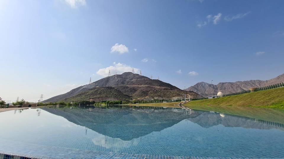
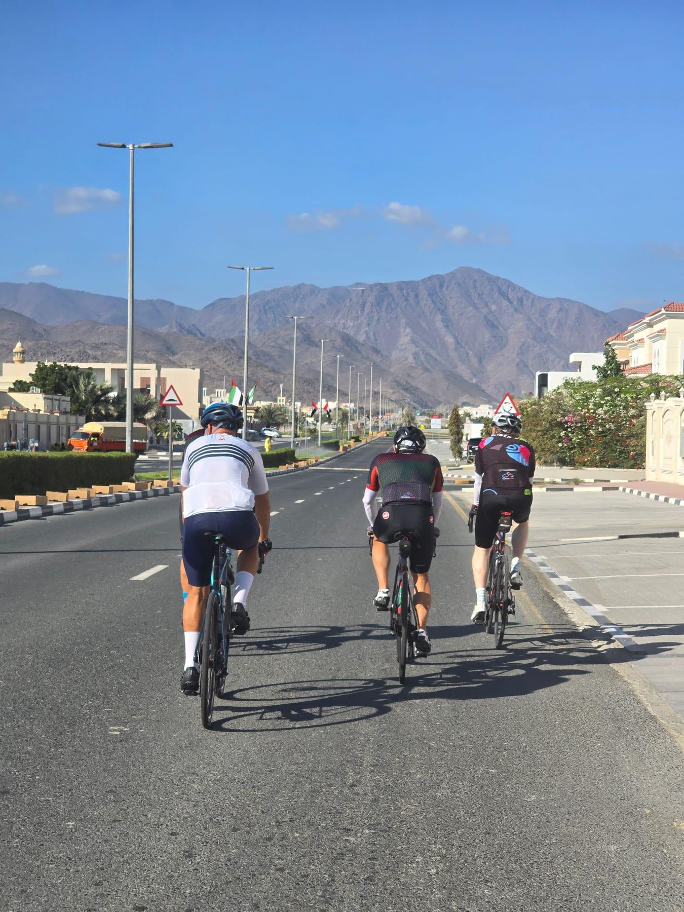
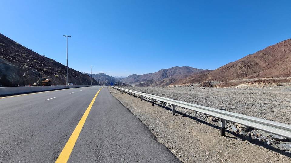
2 photographs from the road

About this route

Ridden by
Marcus
Date ridden
Route line
Built from a GPS recording of the ride.
Elevation
Recalculated from the Copernicus GLO-90 terrain model every 50 m, not the device’s barometer.
Roads, surface, services
Measured along the line from OpenStreetMap extracts.
Best months
Ten years of ERA5 weather for Al Aqah (Open-Meteo).
GPX
Generated from the route line: track points only, no timestamps or personal data.
Page added
Page last updated

See something wrong with this ride?

Similar length from Al Aqah

More climbing