Road · United Arab Emirates
Al Dhaid – Shinas
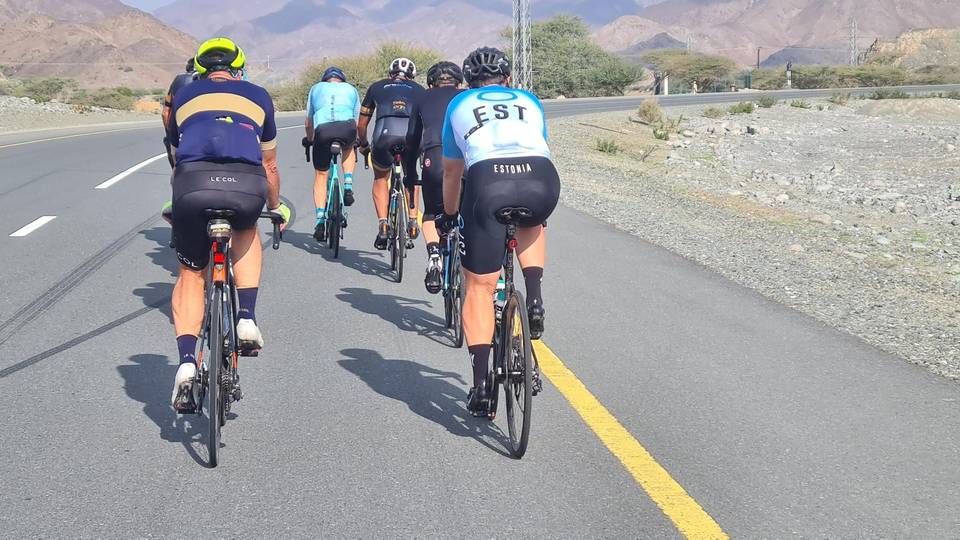
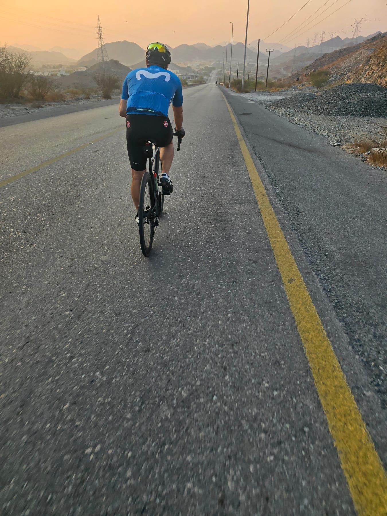
A hilly 88 km road cycling loop from Al Dhaid, Sharjah through Yaif, Al Qor (new village) and Hatta, with 993 m of climbing over Showka climb (533 m) and the Kalba climb. Most of it (85.1 km) is on main roads without a cycle lane, 50.2 km where the limit is 80 km/h or more. There is a 38 km stretch without a café, shop or water (km 50–87).
At a glance
- Best for
- Hilly days out for confident riders at ease in traffic
- Distance
- 87.9 km
- Elevation gain
- 993 m
- Riding time
- 3½–5 hours
- Difficulty
- Hard
- Bike
- Road bike
- Surface
- Paved
- Traffic
- Mostly main roads
- Food & water
- Longest gap 38 km
- Best months
- Dec to Feb
- Navigation
- GPX download
- Start and finish
- Al Dhaid
Map and elevation profile
Elevation profile
- 993 m
- 88 km
Route description
- Al Dhaid
- Showka climb (533 m)
- Yaif
- Al Qor (new village)
- Hatta
- Sufayri
- Huwaylat
- Al Wa'ab
- Kalba climb
- Al Dhaid
Starting from Adh Dhayd, the route heads east passing through Yaif at 16.6 km and Al Qor (new village) at 22.8 km before reaching Hatta at 37.6 km. From here it continues to Sufayri, Huwaylat at 49.4 km, Al Wa'ab and Munay, completing the loop back to Adh Dhayd. The first half contains 64% of the ascent, climbing on low gradients between 2.2% and 3.8%, with the longest climb 5.7 km at 3.6% average gradient, topping at 533 m around 11 km in.
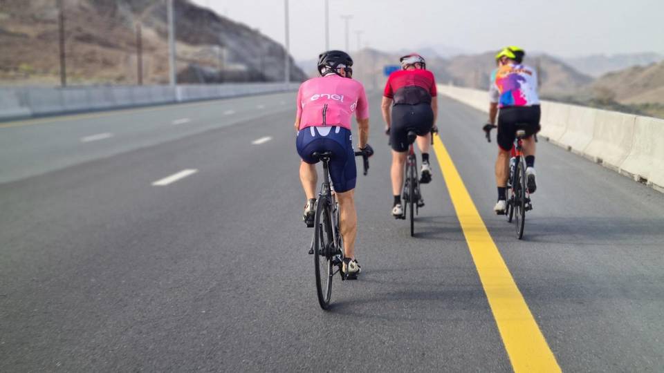
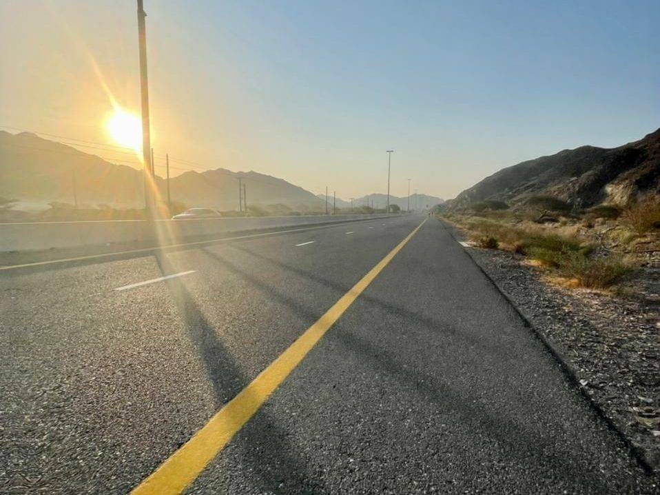
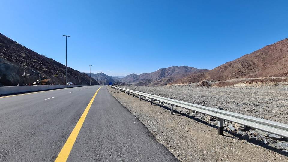
Almost all the route is paved with just 1% gravel or unpaved surface. More than half of the distance is motorway (58%), followed by main roads (31%) and some major roads. There are 85.1 km on main roads without cycle lanes, and 50.2 km on roads with speed limits 80 km/h or more. The longest named roads are Al Watan Road for 30 km, Sharjah - Kalba Road for 18.8 km, and E44 for 6.6 km.
Shops and food can be found near Hatta, including a restaurant at 37.4 km and convenience stores nearby, but there is a 37.8 km stretch with no café, shop or water from 49.6 km to 87.4 km. Toilets are available near Hatta and further along. A bike shop is located at 78 km. The highest point is at 533 m near 11.2 km and the longest descent is 5.6 km starting at 43.5 km, dropping 182 m.
Why ride this route?
- The shortest of the 4 rides from Al Dhaid, yet it climbs 993 m.
- Climbs Showka climb (533 m) (5.7 km at 3.5 %) and the Kalba climb (5.2 km at 2.9 %).
- Tops out at 533 m, 11.2 km in.
- A 5.6 km descent dropping 182 m.
Highlights
- Hatta town at 37.6 km
- Highest point 533 m at 11.2 km
- Loop route in Hajar Mountains
- Longest descent 5.6 km from 43.5 km
Along the route
Places passed
Climbs
| Climb | Starts at | On this ride | Full ascent | Top on this ride |
|---|---|---|---|---|
| Unnamed climb | 0.8 km | 1.8 km · 40 m · 2.2 % · max 3.4 % | — | 310 m |
| Showka climb (533 m) | 5.5 km | 5.7 km · 203 m · 3.6 % · max 10.3 % | 5.7 km · 201 m · 3.5 % | 533 m |
| Unnamed climb | 20.4 km | 1.4 km · 44 m · 3.2 % · max 5.5 % | — | 318 m |
| Unnamed climb | 22.8 km | 3.7 km · 104 m · 2.8 % · max 4.1 % | — | 420 m |
| Unnamed climb | 26.9 km | 1.4 km · 42 m · 3.1 % · max 4 % | — | 455 m |
| Unnamed climb | 39.2 km | 2.3 km · 84 m · 3.6 % · max 6 % | — | 385 m |
| Unnamed climb | 42.1 km | 1.3 km · 50 m · 3.8 % · max 7.1 % | — | 406 m |
| Unnamed climb | 54.5 km | 1.4 km · 44 m · 3.1 % · max 6 % | — | 278 m |
| Kalba climb | 64.5 km | 5.2 km · 151 m · 2.9 % · max 7.7 % | 5.2 km · 151 m · 2.9 % | 485 m |
Showka climb (533 m) · full ascent, starts at 5.5 km
< 4%4 – 7%7 – 10%> 10%
Kalba climb · full ascent, starts at 64.4 km
Traffic, surface and gradient
This is not a cycle-track route: 97% is on main roads without a cycle lane, 50.2 km of it where the limit is 80 km/h or more. Riders should be comfortable sharing the road with faster traffic.
- Roads
- 58% motorway · 31% main road · 8% major road · 1% quiet street · 2% other roads and tracks
- Main roads
- 85.1 km on main roads without a cycle lane — likely busier
- Fast roads
- 50.2 km on roads with a limit of 80 km/h or more
- Main roads used
- Al Watan Road (30 km), Sharjah - Kalba Road (19 km), E44 (7 km)
- Surface
- Paved: 99% of the route is mapped as paved, 1% as unpaved.
- Gradient
- 29% climbing · 26% descending · 45% flat
- Steep sections
- 3.3 km over 5% · 0.7 km over 8% · 0.3 km over 10% · steepest 500 m averages 18.2% at 0 km
- Longest descent
- 5.6 km from 43.5 km, dropping 182 m
Food, water and services
The longest stretch without a café, shop or water is 38 km, from km 50 to 87. Along the route: 10 cafés and restaurants, 3 shops, 4 petrol stations, 4 public toilets and 1 bike shop.
Food, water and shops in ride order
- 34.9 kmENOC · petrol station · 90 m off route
- 37.4 kmTannor Lahm · restaurant · 80 m off route
- 37.8 kmZOOM · convenience store · 90 m off route
- 38.5 kmToilets · 200 m off route
- 38.5 kmHatta Pharmacy LLC. · pharmacy · 100 m off route
- 49.6 kmnaseem al howailat · supermarket · on the route
- 49.6 kmADNOC · petrol station · 100 m off route
- 64.8 kmToilets · 40 m off route
- 72.5 kmToilets · 70 m off route
- 78 kmShowka Bicycles · bike shop · 490 m off route
Know before you go
- 37.8 km with no café, shop or water from 49.6 to 87.4 km
- 85.1 km on main roads without cycle lane
- 50.2 km on roads with speed limit 80 km/h or more
- 1% gravel or unpaved surface