Road · United Arab Emirates
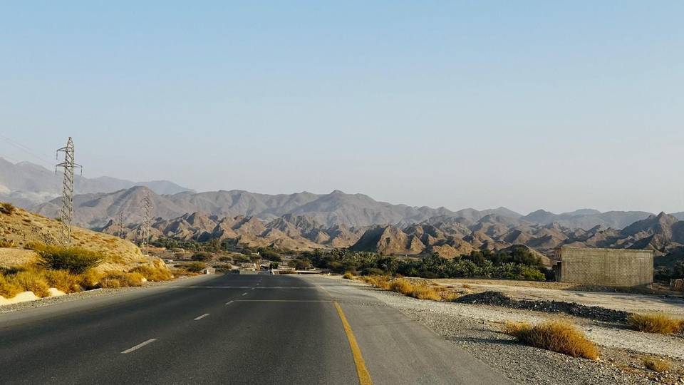
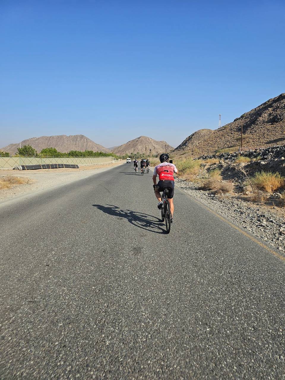
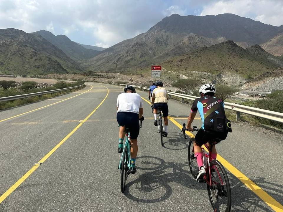
A hilly 80 km road cycling loop from Showka, Ras Al Khaimah through Musseili, Yaif and Sha'biyyat Milāḩ, with 869 m of climbing over Showka climb (533 m) and the As Simsimānīyah climb. Most of it (72.4 km) is on main roads without a cycle lane, 32.1 km where the limit is 80 km/h or more. The first 38 km has no café, shop or water.
The route starts and ends in Showka, traversing 80.3 km mainly on motorways and main roads. The ride visits Musseili at 6.2 km, Yaif at 25.6 km, and several other settlements before returning. It uses Al Watan Road for 18.7 km and Sharjah - Kalba Road for 18.3 km with 72.4 km on main roads lacking cycle lanes, including 32.1 km on roads with 80 km/h or more speed limits.
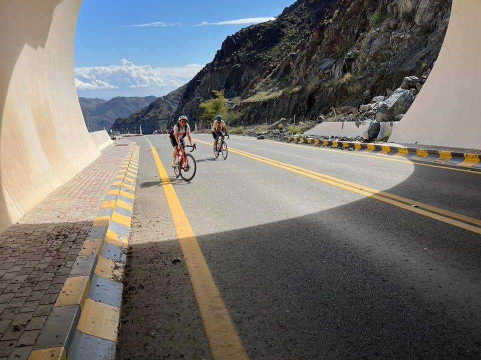
There are four climbs: a 5.7 km ascent from 14.6 km gaining 201 m with a max 10.1% gradient, a 5.8 km climb from 38.6 km gaining 191 m, a shorter 1.4 km climb at 55.8 km gaining 45 m, and a 5.1 km climb from 65.8 km with 150 m elevation. The highest point is 532 m at 20.3 km and the lowest 208 m at 51.7 km. The first half includes 37% of the total climbing. The surface is 99% paved with a short 1% gravel or unpaved section.
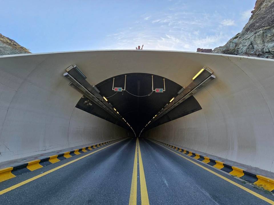
Services include a petrol station at 38.2 km, a supermarket at 51 km slightly off-route, and two sets of toilets near 66.2 and 73.9 km. The longest stretch without café, shop or water is 38.2 km from the start. Showka Bicycles bike shop is at the start and finish. The ride passes beneath the 532 m Jabal Ash Shahayrah and 637 m Jabal Al Hinnah peaks near the end.
| Climb | Starts at | On this ride | Full ascent | Top on this ride |
|---|---|---|---|---|
| Showka climb (533 m) | 14.6 km | 5.7 km · 201 m · 3.6 % · max 10.1 % | 5.7 km · 201 m · 3.5 % | 532 m |
| As Simsimānīyah climb | 38.6 km | 5.8 km · 191 m · 3.3 % · max 9.4 % | 5.9 km · 189 m · 3.2 % | 410 m |
| Unnamed climb | 55.8 km | 1.4 km · 45 m · 3.2 % · max 5.7 % | — | 279 m |
| Unnamed climb | 65.8 km | 5.1 km · 150 m · 3 % · max 7.9 % | — | 485 m |
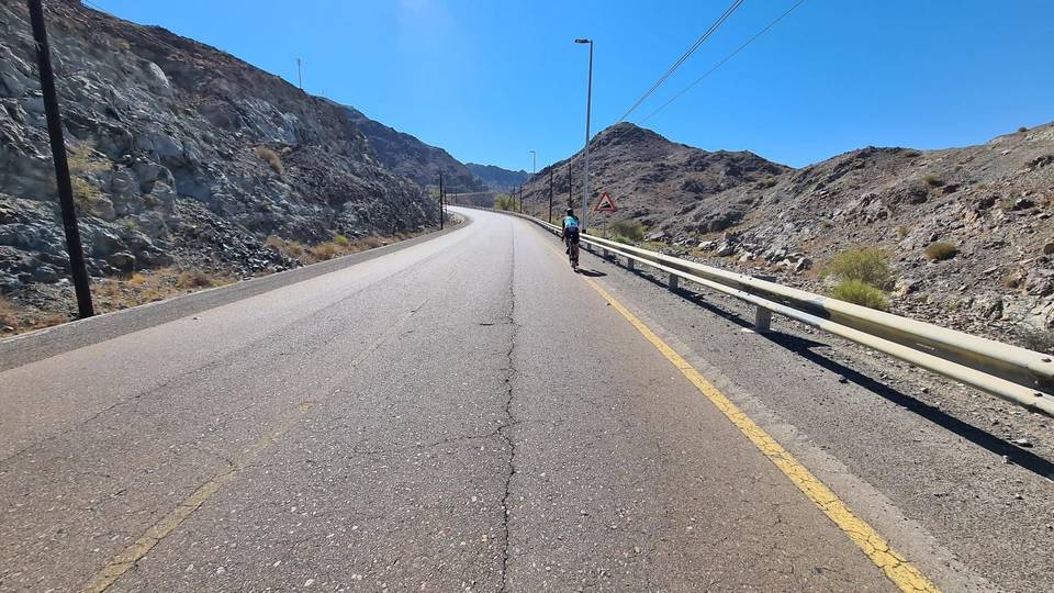
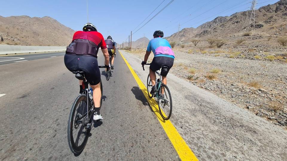
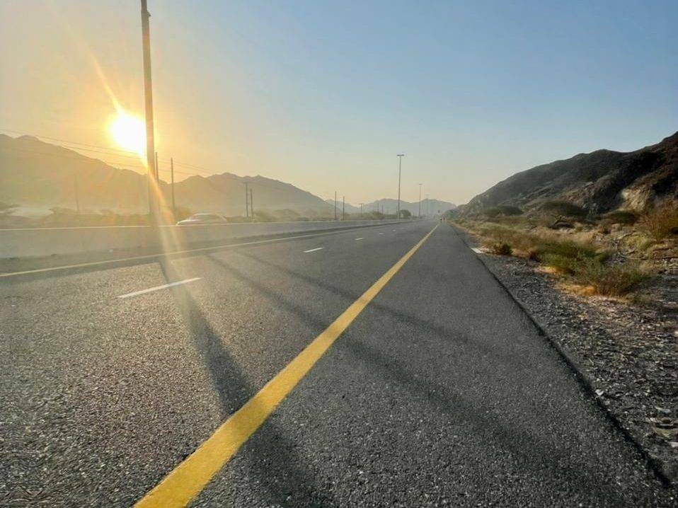
This is not a cycle-track route: 90% is on main roads without a cycle lane, 32.1 km of it where the limit is 80 km/h or more. Riders should be comfortable sharing the road with faster traffic.
The longest stretch without a café, shop or water is 38 km, from the start. Along the route: 1 shop, 1 petrol station, 2 public toilets and 1 bike shop.