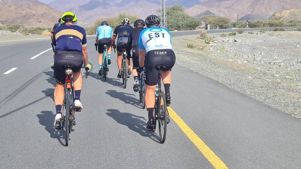
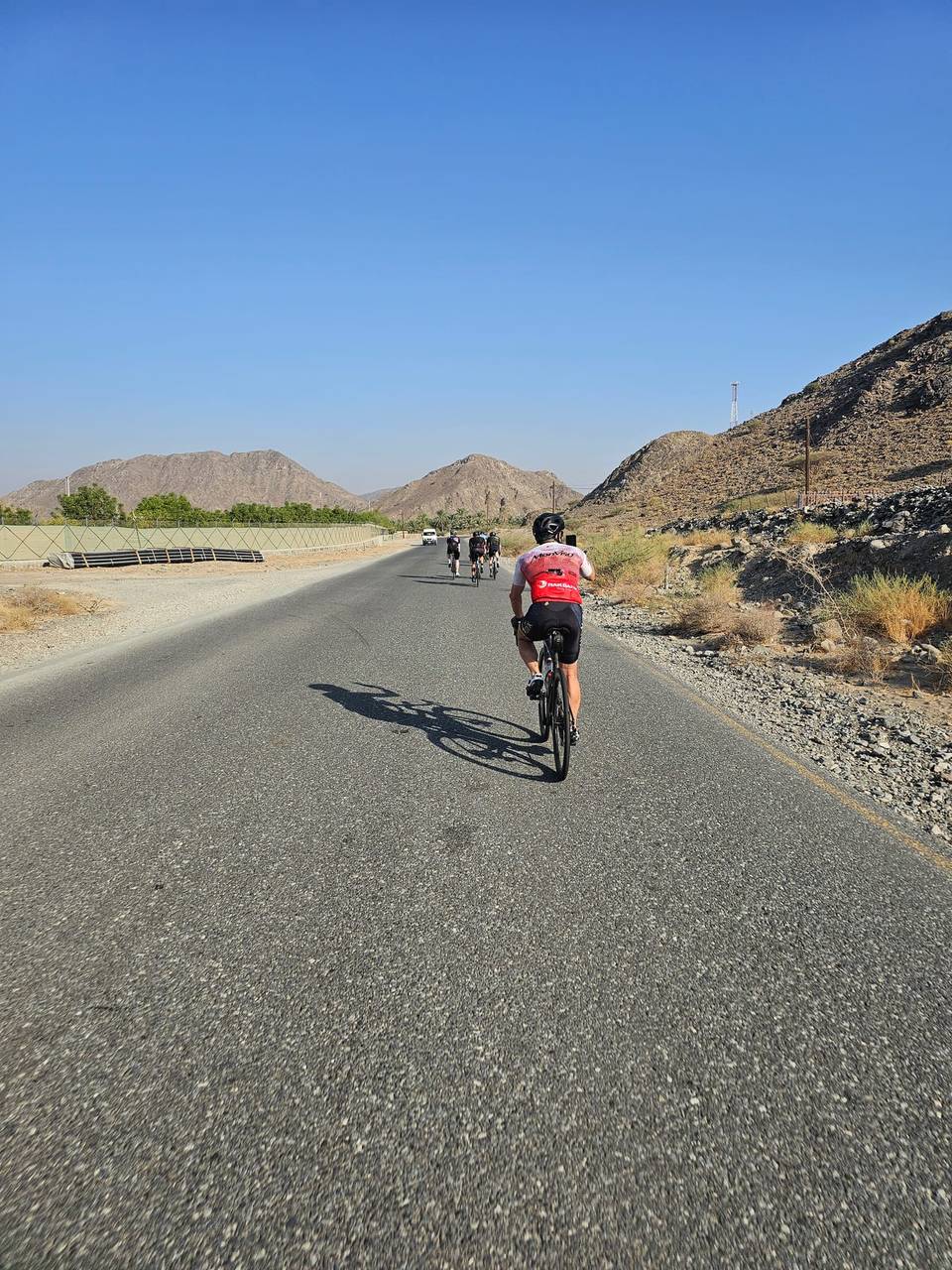
Road · United Arab Emirates
A hilly 54 km road cycling loop from Showka, Ras Al Khaimah through Musseili, with 713 m of climbing over Showka climb (531 m). Most of it (52.4 km) is on main roads without a cycle lane, 21.4 km where the limit is 80 km/h or more. The first 54 km has no café, shop or water.
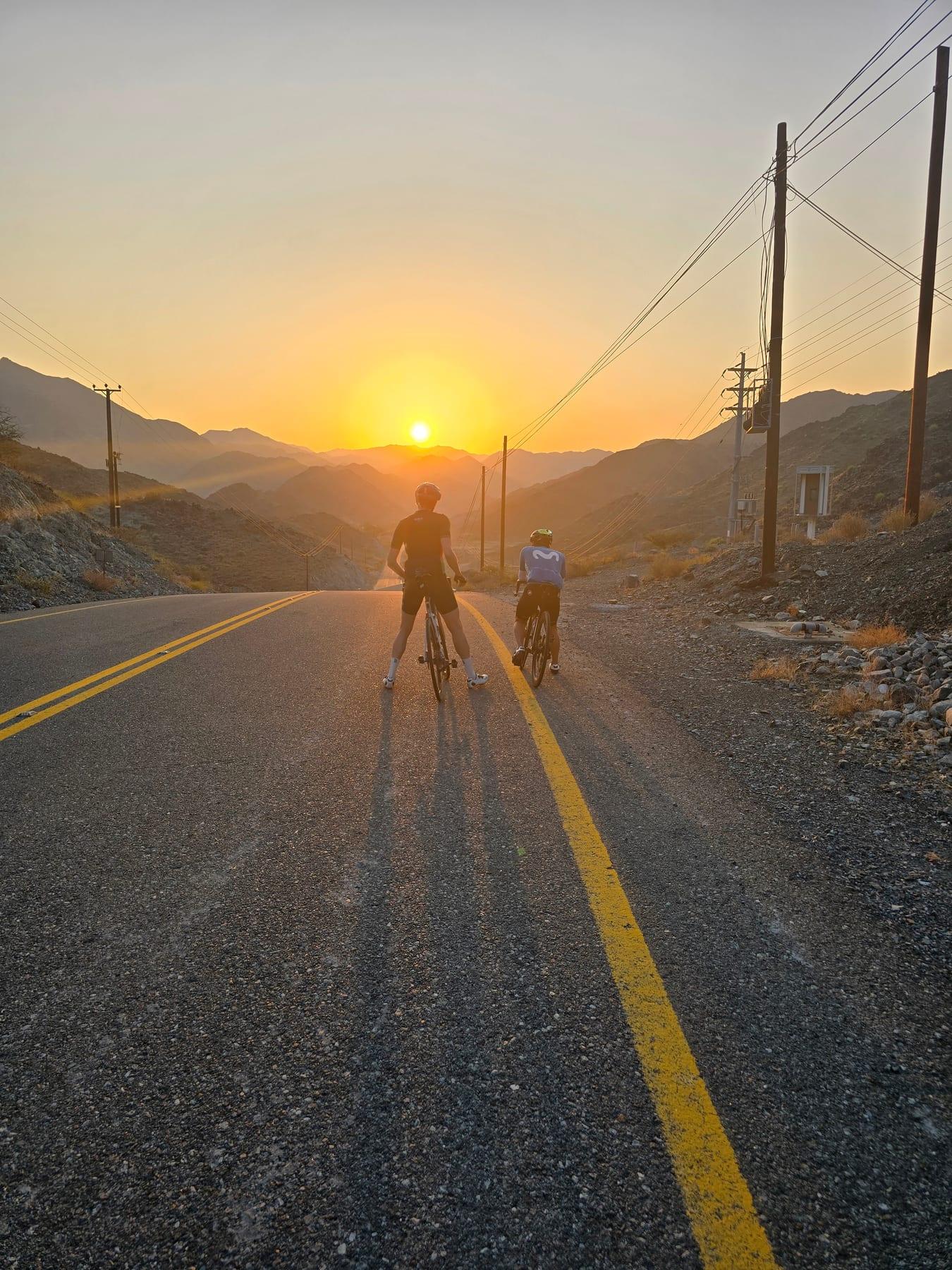
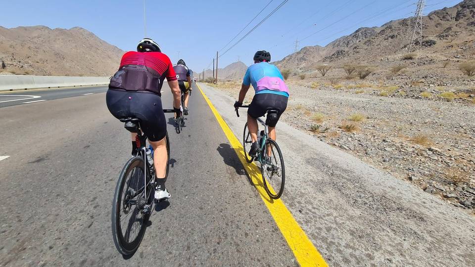
The Showka short hills loop starts and finishes in Showka and passes the place Musseili at 2.4 km. It loops through the Hajar Mountains region, with a total elevation gain of 594 m over 53.8 km. The route climbs steadily with six main climbs: the longest is 3.8 km from 38.6 km gaining 199 m at an average gradient of 5.3%. Other climbs range from 1.4 to 3.4 km in length with average gradients between 3.1 and 4.3%. The highest point of the ride is 531 m at 42.4 km, and the lowest is 263 m near the finish at 53.3 km.
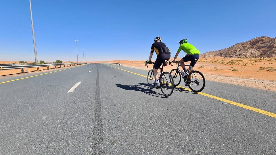
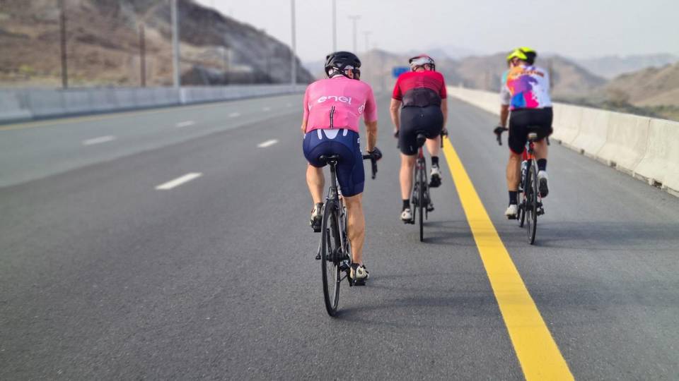
Nearly all the route (99%) is on paved surfaces, with just 1% on gravel or unpaved. The roads are mainly motorway (65%) and main road (33%), with small parts on track and quiet street making up 2%. The route includes 52.4 km on main roads without cycle lanes and 21.4 km on roads with speed limits of 80 km/h or above. The longest stretches on named roads are Sharjah - Kalba Road for 15.9 km, Al Watan Road for 13.2 km, and Al Rabet Street for 3.9 km.
There are no cafés, shops, or water points along the route, with a continuous 53.6 km stretch without these amenities. Two toilet facilities are located just off the route at 14.1 km and 21.7 km, and a bike shop is near the route at 8.5 km. The route passes beneath Jabal Al Hinnah (637 m) near 11.5 km and Jabal Ash Shahayrah (532 m) near 14.8 km. Temperatures recorded are 32 to 34 °C in May and September.
| Climb | Starts at | On this ride | Full ascent | Top on this ride |
|---|---|---|---|---|
| Unnamed climb | 8.7 km | 2.9 km · 108 m · 3.7 % · max 5.6 % | — | 399 m |
| Unnamed climb | 13.5 km | 3.4 km · 105 m · 3.1 % · max 5.5 % | — | 488 m |
| Unnamed climb | 24.9 km | 1.4 km · 57 m · 4.1 % · max 7.9 % | — | 379 m |
| Unnamed climb | 26.7 km | 1.7 km · 74 m · 4.3 % · max 9.3 % | — | 442 m |
| Unnamed climb | 36 km | 1.8 km · 52 m · 2.9 % · max 4.5 % | — | 363 m |
| Showka climb (531 m) | 38.6 km | 3.8 km · 199 m · 5.3 % · max 10.9 % | 3.8 km · 200 m · 5.2 % | 531 m |
This is not a cycle-track route: 97% is on main roads without a cycle lane, 21.4 km of it where the limit is 80 km/h or more. Riders should be comfortable sharing the road with faster traffic.
The longest stretch without a café, shop or water is 54 km, from the start. Along the route: 2 public toilets and 1 bike shop.