Road · United Arab Emirates
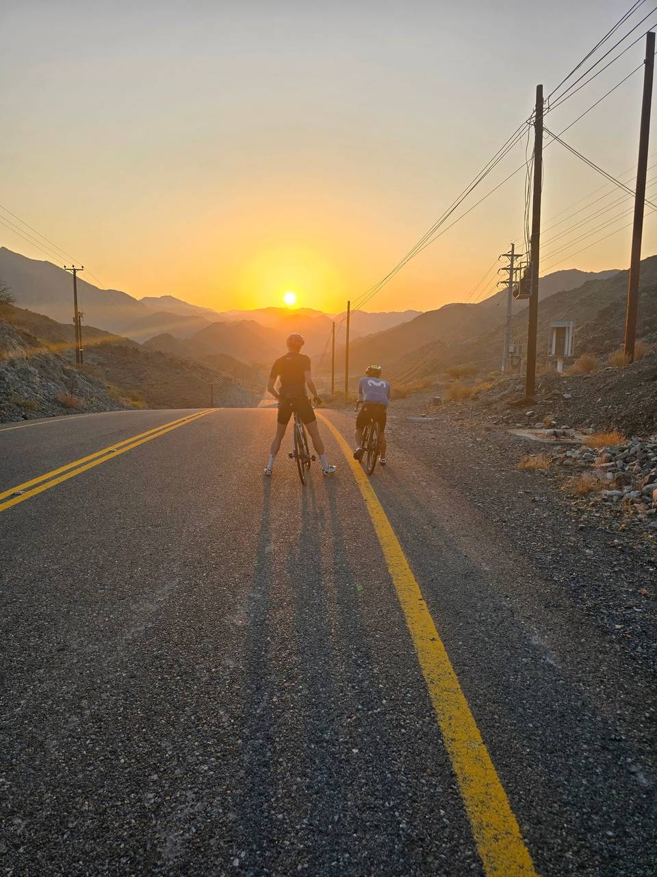
A hilly 218 km road cycling route from Coast to Coast: Sharjah to Khor Fakkan via the Hills through Al Mamzar, Al Majaz and Oud Al Muteena, with 2,000 m of climbing over Showka climb (531 m) and Daftah climb (529 m). Most of it (186.7 km) is on main roads without a cycle lane, 143 km where the limit is 80 km/h or more. There is a 45 km stretch without a café, shop or water (km 90–135).
Starting in Sharjah, the route quickly passes through urban areas including Al Mamzar, Al Nahda, and Al Khan to Al Qasimia by 18.7 km. It then continues largely on motorways and major roads such as Sharjah - Kalba Road (44.9 km), Maleha Road (33.3 km), and Khorfakkan Road (40.4 km), covering 101.7 km on motorways and 68.6 km on major roads. The surface is mostly paved (97%), with a minor 1% gravel or unpaved section. The route crosses through places like Milehah, Musseili, Shawka, and Daftah before reaching Khor Fakkan at 212.8 km.
Climbing is moderate with a total elevation gain of 1466 m. Seven climbs are noted, including a 3.8 km section at 5.1% average gradient and a maximum of 12.3% between 111.3 km and 115.1 km, and a lengthiest descent of 12.8 km dropping 526 m from 201.8 km to near the finish. Most of the terrain is flat or gently rolling, with 14% climbing and 14% descending. Facilities including cafés, supermarkets, petrol stations, bike shops, and toilets occur mostly before 90 km; however, there is a 44.9 km stretch between 90.3 km and 135.2 km without cafés, shops, or water.
| Climb | Starts at | On this ride | Full ascent | Top on this ride |
|---|---|---|---|---|
| Unnamed climb | 90.2 km | 3.5 km · 104 m · 3 % · max 4.7 % | — | 371 m |
| Unnamed climb | 95.4 km | 3.7 km · 90 m · 2.5 % · max 4.9 % | — | 464 m |
| Showka climb (531 m) | 111.3 km | 3.8 km · 192 m · 5.1 % · max 12.3 % | 3.8 km · 200 m · 5.2 % | 529 m |
| Unnamed climb | 168.4 km | 2.1 km · 40 m · 2 % · max 2.7 % | — | 216 m |
| Unnamed climb | 174.3 km | 2.4 km · 81 m · 3.4 % · max 12.1 % | — | 317 m |
| Unnamed climb | 183 km | 2.7 km · 103 m · 3.8 % · max 8.8 % | — | 453 m |
| Daftah climb (529 m) | 189.7 km | 4.1 km · 146 m · 3.6 % · max 6.8 % | 4.1 km · 163 m · 4 % | 512 m |
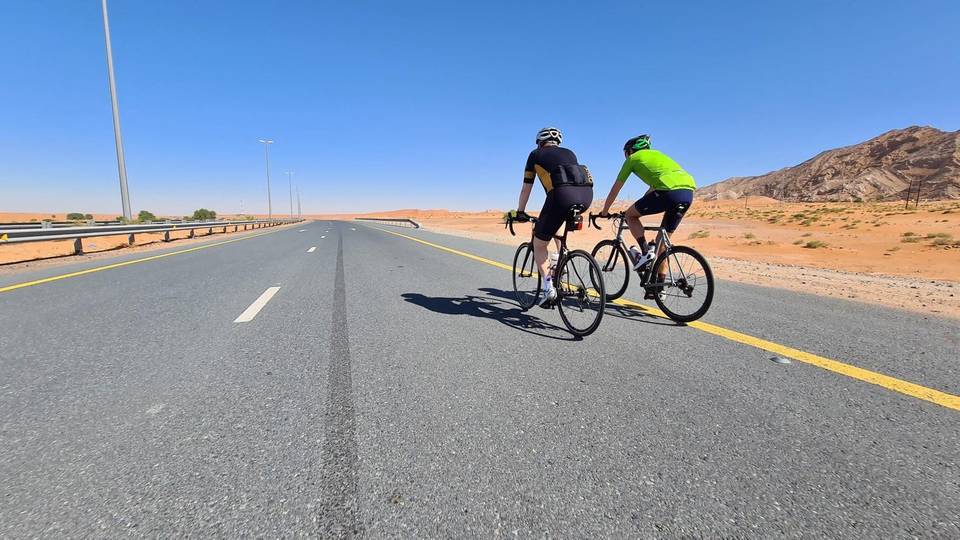
This is not a cycle-track route: 86% is on main roads without a cycle lane, 143 km of it where the limit is 80 km/h or more. Riders should be comfortable sharing the road with faster traffic.
The longest stretch without a café, shop or water is 45 km, from km 90 to 135. Along the route: 364 cafés and restaurants, 236 shops, 1 water point, 12 petrol stations, 10 public toilets and 9 bike shops.