Road · United Arab Emirates
A rolling 119 km road cycling route from Sharjah to Fujairah through Al Mamzar, Al Khan and Al Layyah, with 630 m of climbing. Most of it (106.8 km) is on main roads without a cycle lane, 81.5 km where the limit is 80 km/h or more. There is a 27 km stretch without a café, shop or water (km 91–118).
The route starts in Sharjah and passes through Al Mamzar, Al Nahda, Al Khan, Al Khalidiyah, Al Layyah, Al Majaz, Al Gharb, Al Jubail, and Al Soor within the first 18 km. It continues past Al Qasimia, Oud Al Muteena, and Al Mizhar 3 before reaching Al Badaia and Al Ttay around 40 km, then on through Qatah and Milehah before the final stretch toward Munay, Al Qilē'ī, and Minazif near 118 km. The route is mostly paved (99%) and largely follows motorways and major roads, with 87 km on motorways, and 106.8 km of main roads without cycle lanes. It includes the Sharjah - Kalba Road for 45.6 km and Maleha Road for 37.5 km.
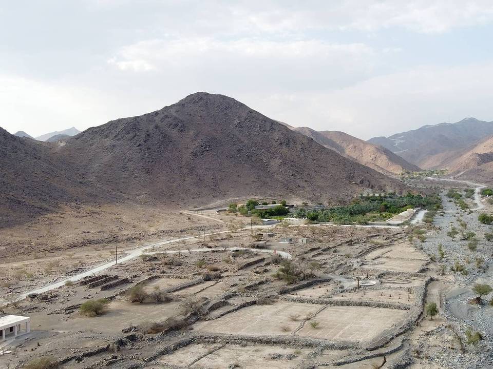
Climbing is mainly in the last third from about 91 km to the finish, including three main climbs: a 3.5 km climb gaining 120 m at an average 3.4% gradient, a 3.7 km climb gaining 109 m at 3%, and a shorter climb near the end of 1.7 km gaining 49 m at 2.8%. The highest point is 488 m at 99.9 km. The route descends for the longest continuous stretch for 3 km around 100.7 km. There is a longest flat profile portion making up 81% of the total distance.
Facilities along the route include cafés such as Al Bareej Cafeteria at 8.2 km and Al Sarab Cafeteria at 26.1 km, shops like Al Bawadi Supermarket at 9.4 km, and multiple petrol stations including Texaco at 19.6 km and several ADNOC stations up to 58.3 km. A longest stretch without café, shop, or water is 26.7 km from 91.4 km to 118.1 km. Toilets and bike shops are available primarily before 91 km. The route is ridden in November at 26°C recorded temperature.
| Climb | Starts at | On this ride | Top on this ride |
|---|---|---|---|
| Unnamed climb | 91.1 km | 3.5 km · 120 m · 3.4 % · max 5.3 % | 397 m |
| Unnamed climb | 96.2 km | 3.7 km · 109 m · 3 % · max 5.4 % | 488 m |
| Unnamed climb | 113.6 km | 1.7 km · 49 m · 2.8 % · max 3.9 % | 305 m |
This is not a cycle-track route: 90% is on main roads without a cycle lane, 81.5 km of it where the limit is 80 km/h or more. Riders should be comfortable sharing the road with faster traffic.
The longest stretch without a café, shop or water is 27 km, from km 91 to 118. Along the route: 367 cafés and restaurants, 230 shops, 1 water point, 12 petrol stations, 10 public toilets and 9 bike shops.