Road · United Arab Emirates
Coast to Coast: Sharjah to Dibba
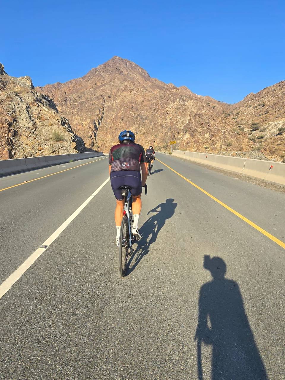
A hilly 166 km road cycling route from Coast to Coast: Sharjah to Dibba through Al Mamzar, Al Jubail and Al Badaia, with 1,718 m of climbing over Daftah climb (744 m) and Jabal Daftah (641 m). Most of it (146.2 km) is on main roads without a cycle lane, 118.3 km where the limit is 80 km/h or more. There is a 38 km stretch without a café, shop or water (km 60–98).
At a glance
- Best for
- Long endurance days for confident riders at ease in traffic
- Distance
- 165.5 km
- Elevation gain
- 1,718 m
- Riding time
- 5½–7½ hours
- Difficulty
- Hard
- Bike
- Road bike
- Surface
- Paved
- Traffic
- Mostly main roads
- Food & water
- Longest gap 38 km
- Best months
- Dec to Mar
- Navigation
- GPX download
- Start → finish
- Coast → Coast: Sharjah to Dibba
Map and elevation profile
Elevation profile
- 1,718 m
- 166 km
Route description
- Coast
- Al Mamzar
- Al Jubail
- Al Badaia
- Daftah climb (744 m)
- Jabal Daftah (641 m)
- Daftah
- Al Burdi
- Lulayyah
- Coast: Sharjah to Dibba
The route starts from Sharjah, quickly passing through areas such as Al Mamzar (2.1 km), Al Nahda (2.3 km), Al Khan (7.8 km), and continues through numerous suburbs and towns like Al Majaz (15.6 km), Al Jubail (17.9 km), Al Soor (18.2 km), and Al Qasimia (19.2 km). The road surface is 98% paved with no gravel sections. Road types include 60 km on Khorfakkan Road among others, with 13 km on main roads without cycle lanes and 118 km on roads with speed limits above 80 km/h.
Climbing begins significantly after km 96, with a series of four climbs totaling 658m of gain over 14 km. The first climb is 2.2 km at 2.5% average gradient, peaking at 231 m elevation, followed by a steeper section starting at 102.3 km with maximum gradients reaching 11.8%. The longest climb from 117.8 km gains 383 m in 6.3 km with an average gradient of 6.1%. The highest point is 751 m at 130.4 km. A long 9.7 km descent follows starting at 132 km. The final stretch leads through coastal towns ending at Dibba with restaurants and fast food options available.
Along the route there are cafés and restaurants spaced mostly in the first 60 km and again after 100 km. Notable gaps include a 38 km stretch from 59.8 to 98 km with no café, shop, or water source. There are toilets at several points including start and finish. Bike shops are near 13 and 20 km. Petrol stations and supermarkets are intermittently available.
Why ride this route?
- The most climbing per kilometre of the 8 rides from Sharjah: 10 m per km.
- Climbs Daftah climb (744 m) (6.3 km at 6 %) and Jabal Daftah (641 m) (5.7 km at 5 %).
- Tops out at 751 m, 130.4 km in.
- A 9.7 km descent dropping 553 m.
Highlights
- Climbs starting from 96 km with gradients up to 11.9%
- Highest point at 751 m near 130 km
- Long 9.7 km descent from 132 km
- Khorfakkan Road ridden for 60 km
Along the route
Places passed
Climbs
| Climb | Starts at | On this ride | Full ascent | Top on this ride |
|---|---|---|---|---|
| Unnamed climb | 96.3 km | 2.2 km · 55 m · 2.5 % · max 3.8 % | — | 231 m |
| Unnamed climb | 102.3 km | 2.4 km · 89 m · 3.7 % · max 9.4 % | — | 330 m |
| Unnamed climb | 110.9 km | 3 km · 111 m · 3.7 % · max 11.8 % | — | 467 m |
| Daftah climb (744 m) | 117.8 km | 6.3 km · 383 m · 6.1 % · max 11.9 % | 6.3 km · 378 m · 6 % | 748 m |
| Jabal Daftah (641 m) | 117.8 km | — | 5.7 km · 281 m · 5 % | 681 m |
Daftah climb (744 m) · full ascent, starts at 117.7 km
< 4%4 – 7%7 – 10%> 10%
Jabal Daftah (641 m) · full ascent, starts at 117.8 km
Traffic, surface and gradient
This is not a cycle-track route: 88% is on main roads without a cycle lane, 118.3 km of it where the limit is 80 km/h or more. Riders should be comfortable sharing the road with faster traffic.
- Roads
- 59% major road · 18% motorway · 12% main road · 5% minor road · 5% other roads and tracks · 1% unmapped
- Main roads
- 146.2 km on main roads without a cycle lane — likely busier
- Fast roads
- 118.3 km on roads with a limit of 80 km/h or more
- Main roads used
- Khorfakkan Road (60 km), Maleha Road (18 km), Sharjah - Kalba Road (11 km), Batayeh Road (8 km)
- Surface
- Paved: 98% of the route is mapped as paved and 2% has no surface data.
- Gradient
- 14% climbing · 11% descending · 75% flat
- Steep sections
- 3.8 km over 5% · steepest 500 m averages 7.6% at 146.4 km
- Longest descent
- 9.7 km from 132 km, dropping 553 m
Food, water and services
The longest stretch without a café, shop or water is 38 km, from km 60 to 98. Along the route: 361 cafés and restaurants, 231 shops, 1 water point, 13 petrol stations, 13 public toilets and 8 bike shops.
Food, water and shops in ride order
- 0 kmToilets · 170 m off route
- 7.2 kmSharjah Coop · supermarket · 40 m off route
- 8.7 kmAlpha Pharmacy · pharmacy · 90 m off route
- 16 kmAuberge · café · 90 m off route
- 18.6 kmAl Douri Supermarket · supermarket · 50 m off route
- 19.6 kmAl Shamikh · bike shop · 160 m off route
- 26.2 kmAl Sarab Cafeteria · café · 170 m off route
- 33 kmSafty 2 · clinic · 570 m off route
- 42.4 kmToilets · 100 m off route
- 46.6 kmStarbucks · café · 280 m off route
- 51.1 kmHani Wa Aafia Resturant · restaurant · 100 m off route
- 59.8 kmAl Muntather · café · 140 m off route
- 124.5 kmEmarat · petrol station · 130 m off route
- 124.8 kmToilets · 70 m off route
- 137.7 kmWishi · restaurant · 100 m off route
- 153.1 kmADNOC · petrol station · 110 m off route
- 154.4 kmToilets · 140 m off route
- 163 kmestacoza seafood · restaurant · 80 m off route
Worth a stop
- 4.9 km — Ali Bin Rashid Square (castle)
- 34.3 km — Sheikha naama (viewpoint)
- 137 km — Reservoir. Observation deck (viewpoint)
- 154.4 km — Al Badiyah Fort (castle)
Stay after this ride
- Fujairah Rotana · hotel · 170 m from the finish
- Le Meridien Al Aqah Beach Resort · hotel · 190 m from the finish
- InterContinental Fujairah Resort · hotel · 360 m from the finish
- Miramar Al Aqah Beach Resort · hotel · 780 m from the finish
- Naama · hotel · 880 m from the finish
Start and access
At the finish
- Food and coffee
- estacoza seafood (230 m), Subway (300 m), Sapore (270 m)
Know before you go
- 38 km stretch without café, shop or water from 59.8 to 98 km
- 146 km on main roads without cycle lane
- 118 km on roads with speed limits of 80 km/h or more