Cyclists.com

Around Sharjah

11 km gravel loop21 m climbingUnder an hourGPX

Sharjah, United Arab Emirates · Gravel

A flat 11 km gravel loop from Sharjah through Mushrif, with 21 m of climbing. 98% is on cycle paths or roads with a cycle lane. Mostly unpaved: 91% is mapped as gravel or unpaved, 9% as paved.

Route contributed by Richard Chapman · Created from a ride on Saturday 3rd December 2022

Download GPXMap

At a glance

Best for
Steady riding away from traffic
Distance
10.6 km
Loop
Elevation gain
21 m
2 m per km
Riding time
Under an hour
moving time, estimated
Difficulty
Easy
Bike
Gravel or mountain bike
from the mapped surface
Surface
Mostly unpaved
9% paved · 91% unpaved
Traffic
Mostly cycle paths
10.4 km on cycle paths or lanes
Food & water
Regular
4 cafés and restaurants · 1 shop · 3 public toilets · 1 bike shop
Best months
Dec to Mar
Sharjah climate, 10 years
Navigation
GPX download
free, no sign-in
Start and finish
Sharjah

Map and elevation profile

Elevation profile

Total ascent
21 m
Distance
11 km
0204060m0 km2.557.511 km54 m · highest, at 10.3 kmStartFinish · back at the start

Route description

  1. Sharjah
  2. Mushrifkm 9
  3. Sharjahkm 11

Around Sharjah is a 10.6 km loop in the Hajar Mountains region of the United Arab Emirates, starting and finishing in Sharjah. The route mostly follows cycle paths, covering 98% of the distance on designated cycle paths and lanes. The surface is predominantly gravel or unpaved at 91%, with only 9% paved sections.

The elevation gain is modest at 21 m, mostly in the first half of the ride, with a high point of 54 m reached near 10.3 km and a low of 32 m at 8.3 km. The route is generally flat with 92% flat sections, and only short steep segments, the steepest 500 m reaching a gradient of 2.3% at around 9.5 km. The longest named roads on the route are Mushrif Green 1 (4.1 km) and Mushrif Green 2 (3.8 km).

Facilities along the way include cafés and a bike rental near the start at about 0.7 km (Cafe Peloton), a convenience store near 4.3 km, and a restaurant 308 m from the route at 6.6 km. There is a stretch of 4 km from 6.6 km to 10.6 km without cafés, shops or water. Toilets are available at the route’s end (10.6 km).

Why ride this route?

  • The shortest of the 8 rides from Sharjah.
  • 98% on cycle paths or lanes.

Highlights

  • Loop route around Sharjah
  • Route mostly on cycle paths
  • Elevation gain 21 m
  • Mushrif Green 1 and 2 roads

Traffic, surface and gradient

Measured from OpenStreetMap along the track and the elevation profile.

Much of the route is separated from traffic: 98% is on cycle paths or roads with a cycle lane.

Roads
98% cycle path · 2% other roads and tracks
Cycle paths
10.4 km on cycle paths or roads with a cycle lane
Main roads used
Mushrif Green 1 (4 km), Mushrif Green 2 (4 km)
Surface
Mostly unpaved: 91% is mapped as gravel or unpaved, 9% as paved.
Gradient
7% climbing · 1% descending · 92% flat

Food, water and services

Within a few hundred metres of the track, from OpenStreetMap. Opening hours change — treat this as where to look, not a promise.

No stretch is longer than 15 km without a café, shop or water. Along the route: 4 cafés and restaurants, 1 shop, 3 public toilets and 1 bike shop.
Food, water and shops in ride order

  1. 0.7 kmCafe Peloton · café · on the route
  2. 0.7 kmBike rental · on the route
  3. 4.3 kmShams Al Bateen Grocery · convenience store · 250 m off route
  4. 4.3 kmSmilecare Medical Center LLC 042855066 · hospital · 790 m off route
  5. 6.6 kmThe Ghafe · restaurant · 310 m off route
  6. 10.6 kmToilets · 130 m off route

Start and access

Starts and finishes at Sharjah. Mapped within a short walk of the start, from OpenStreetMap.

At the start and finish

Food and coffee
Cafe Peloton (460 m), Lea (590 m), The Ghafe (780 m)
Shops
Shams Al Bateen Grocery (980 m)

Know before you go

  • 4 km with no café, shop or water from 6.6 km to 10.6 km
  • 91% gravel or unpaved surface

Routes are for inspiration. Roads, surfaces and conditions change — check locally and ride within your limits.

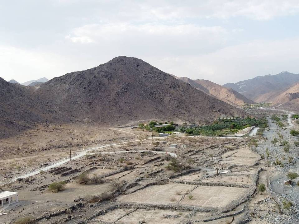
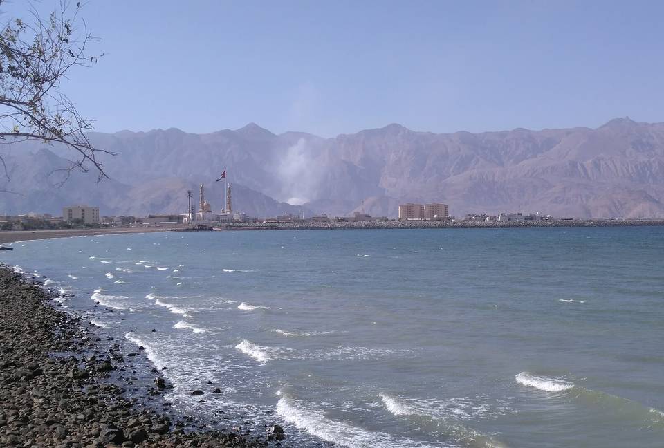
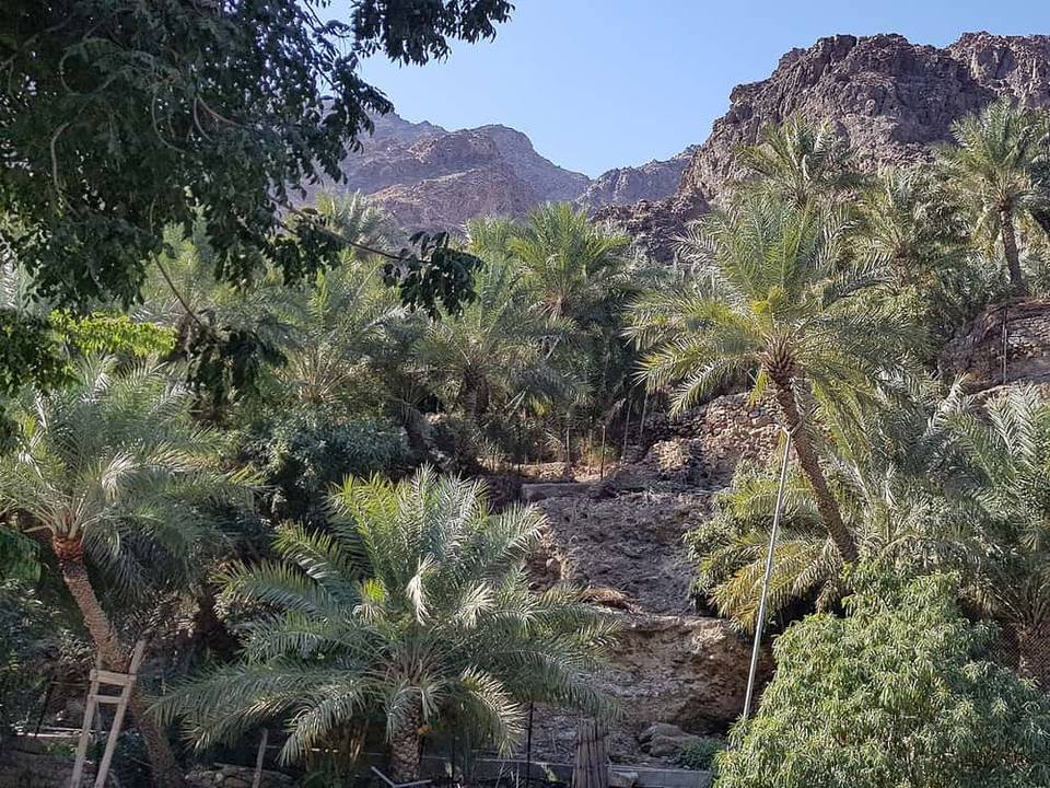
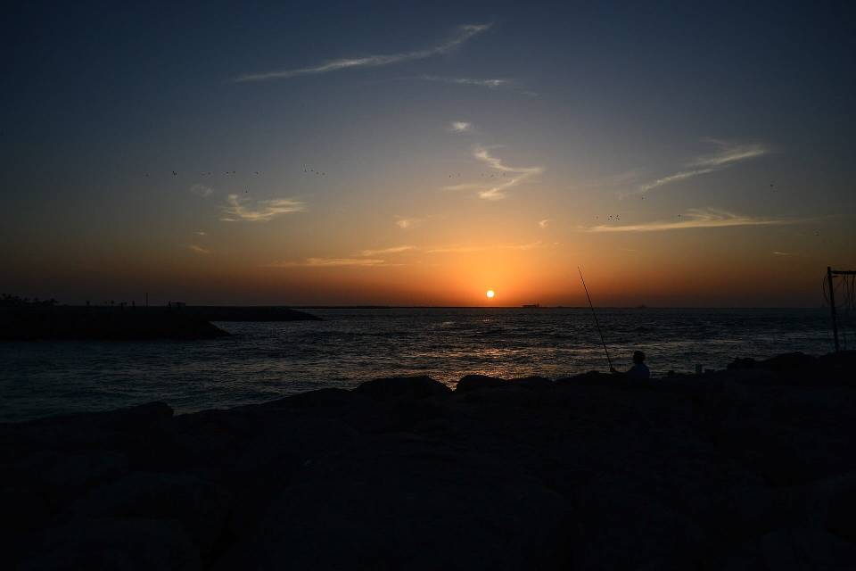
3 photographs from the road

Photo: Jaseem Hamza · CC BY 3.0 · Wikimedia Commons · Photo: Michael Coghlan from Adelaide, Australia · CC BY-SA 2.0 · Wikimedia Commons

About this route

Date ridden
Route line
Built from a GPS recording of the ride.
Elevation
Recalculated from the Copernicus GLO-90 terrain model every 50 m, not the device’s barometer.
Roads, surface, services
Measured along the line from OpenStreetMap extracts.
Best months
Ten years of ERA5 weather for Sharjah (Open-Meteo).
GPX
Generated from the route line: track points only, no timestamps or personal data.
Page added
Page last updated

See something wrong with this ride?

More climbing

More rides from Sharjah