Road · United Arab Emirates
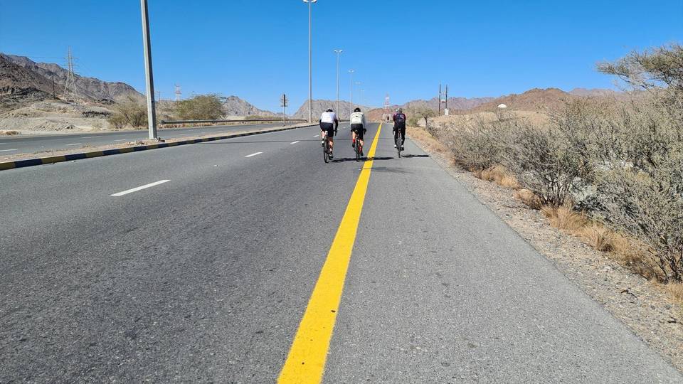
A rolling 165 km road cycling route from Coast to Coast: Sharjah to Khor Fakkan through Al Mamzar, Al Layyah and Al Soor, with 1,295 m of climbing over Daftah climb (615 m). Most of it (149.3 km) is on main roads without a cycle lane, 125.4 km where the limit is 80 km/h or more. There is a 57 km stretch without a café, shop or water (km 59–116).
The route starts near Sharjah and heads through Al Mamzar (2 km), Al Nahda (2.3 km), and several other suburbs within the first 20 km, mostly on paved roads. The initial terrain is mostly flat with some minor elevation gain. The road mix includes 51% major roads, 22% main roads, and 18% motorway. There is a stretch of 56.8 km from km 58.7 to 115.5 with no café, shop, or water, requiring careful planning.
Climbing begins after km 113.8 with a series of four climbs ranging from 54 m to 191 m elevation gain, averaging between 2.5% and 4.9%, with the steepest section at 13.2%. The highest point is at 624 m around km 147.9. The longest descent is 6 km dropping 345 m starting near km 149.4.
Most of the route is paved and on main and major roads including 60.9 km on Khorfakkan Road. Main roads lack cycle lanes for 149.3 km and 125.4 km have posted speed limits of 80 km/h or more. Cafés, shops, and petrol stations are available primarily in the first 58.7 km and after 115.5 km, including a supermarket near km 154.1 and restaurants at the finish in Khor Fakkan.
| Climb | Starts at | On this ride | Full ascent | Top on this ride |
|---|---|---|---|---|
| Unnamed climb | 113.8 km | 2.1 km · 54 m · 2.5 % · max 3.8 % | — | 231 m |
| Unnamed climb | 119.7 km | 2.1 km · 87 m · 4.2 % · max 13.2 % | — | 329 m |
| Unnamed climb | 128.5 km | 2.1 km · 104 m · 4.9 % · max 11.5 % | — | 459 m |
| Daftah climb (615 m) | 135.2 km | 4.3 km · 191 m · 4.5 % · max 10.6 % | 7.4 km · 298 m · 4 % | 556 m |
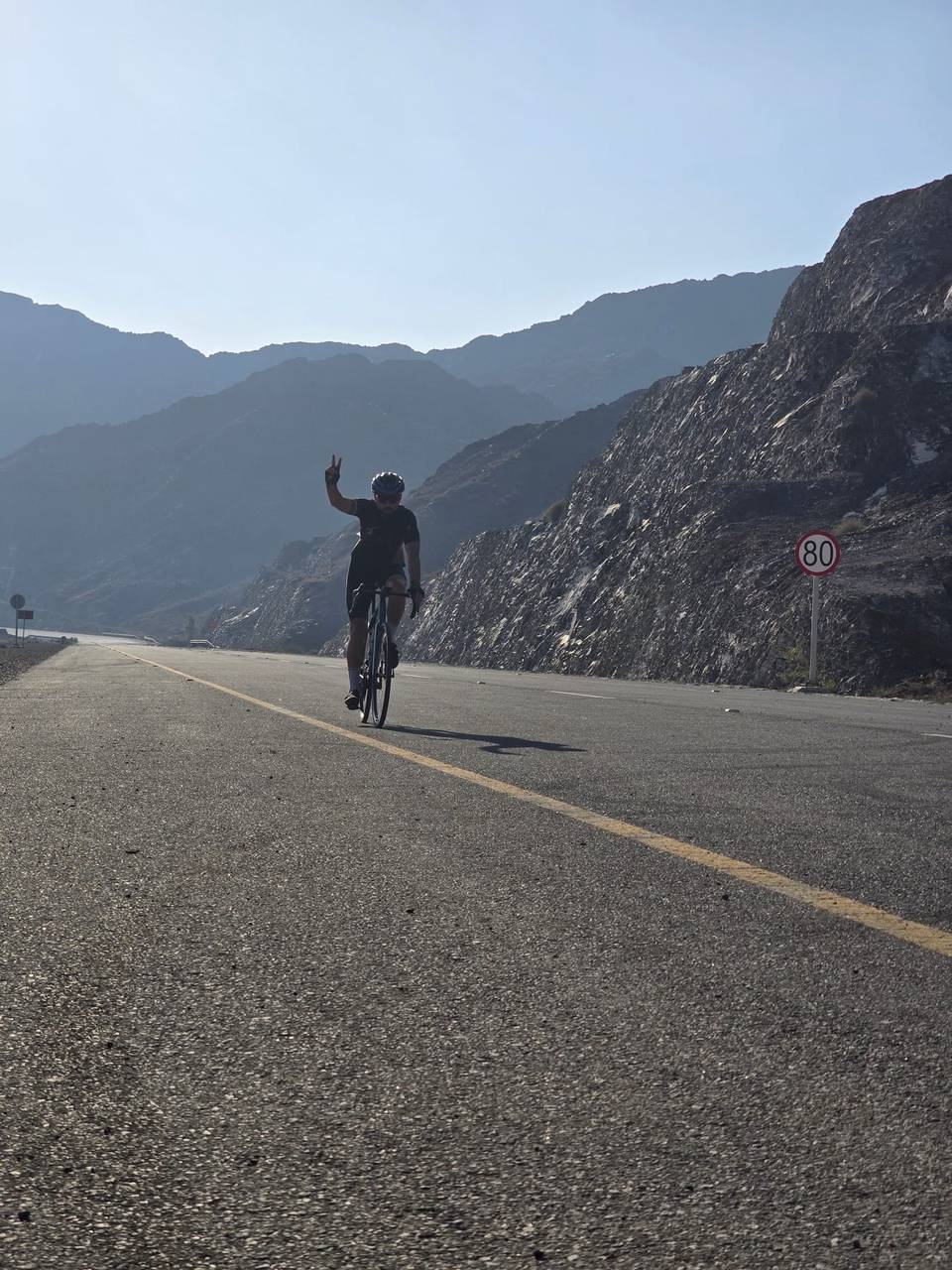
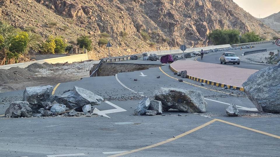
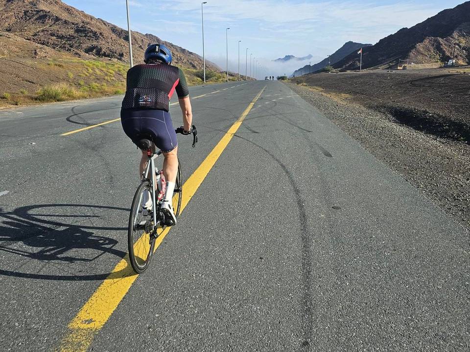
This is not a cycle-track route: 90% is on main roads without a cycle lane, 125.4 km of it where the limit is 80 km/h or more. Riders should be comfortable sharing the road with faster traffic.
The longest stretch without a café, shop or water is 57 km, from km 59 to 116. Along the route: 361 cafés and restaurants, 228 shops, 1 water point, 12 petrol stations, 8 public toilets and 8 bike shops.