Road · United Arab Emirates
A rolling 140 km road cycling loop from Nazwa, Sharjah through Al Dafain, Filli and Shariyah, with 833 m of climbing over Showka climb (531 m). Most of it (129.7 km) is on main roads without a cycle lane, 53.7 km where the limit is 80 km/h or more. There is a 44 km stretch without a café, shop or water (km 31–75).
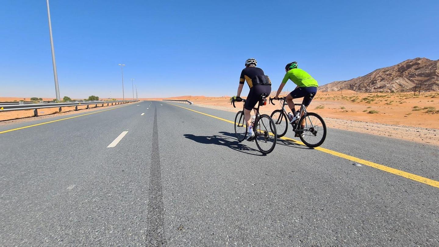
This 140 km loop ride starts and finishes in Nazwa, passing through Al Dafain at 13.6 km, Filli at 30.9 km, Shariyah at 75.8 km, Shawka at 81.4 km, Musseili at 89.3 km, Sha'biyyat Bahayis at 109.7 km, Al Fayah at 115.8 km, and Mahafiz at 128.9 km. The route climbs 724 m with the major ascents occurring in the first half, including two climbs over 4.5 km long around the 44 km and 60 km marks, reaching heights just below 500 m. A shorter climb starting at 76.3 km rises less sharply to 308 m. The highest point on the route is at 526 m around 49.5 km, while the lowest is 129 m near the end at 129.2 km. The profile features mostly flat riding (76%) with 13% climbing and 12% descending. The longest descent lasts 4.2 km starting from 71.7 km.
The surface is 98% paved with a small 2% gravel or unpaved section. The ride is mostly on main roads (63%) and motorways (25%), with almost 130 km on main roads without a cycle lane, and nearly 54 km on roads with speed limits over 80 km/h. The longest named roads include Sharjah - Kalba Road for 15.7 km and Mahafiz - Al Fayah Road for 14.1 km. Between 31 km and 75 km there is a 44 km stretch without a café, shop, or water, although stops and refuelling points exist around the town areas. Facilities along the route include cafés near the start at 3.9 km, restaurants near 75 and 116 km, supermarkets near 26 and 103 km, drinking water near 75.5 and 99 km, and bike shop near 73.9 km.
Peaks beside the route include Jabal Ash Shahayrah (532 m at 67.3 km), Jabal Al Hinnah (637 m at 70.6 km), Jabal Sakhbiri (360 m at 77.3 km), and Jabal Shauka (439 m at 77.8 km). Recorded temperatures range from 15 to 29 °C, with best seasons in February, October, and November.
| Climb | Starts at | On this ride | Full ascent | Top on this ride |
|---|---|---|---|---|
| Unnamed climb | 44 km | 4.6 km · 149 m · 3.2 % · max 10.8 % | — | 482 m |
| Unnamed climb | 60 km | 5 km · 148 m · 3 % · max 8 % | — | 479 m |
| Unnamed climb | 76.3 km | 1.8 km · 41 m · 2.4 % · max 3.6 % | — | 308 m |
| Showka climb (531 m) | 77.2 km | — | 3.8 km · 200 m · 5.2 % | 532 m |
This is not a cycle-track route: 92% is on main roads without a cycle lane, 53.7 km of it where the limit is 80 km/h or more. Riders should be comfortable sharing the road with faster traffic.
The longest stretch without a café, shop or water is 44 km, from km 31 to 75. Along the route: 4 cafés and restaurants, 8 shops, 2 water points, 1 petrol station, 3 public toilets and 1 bike shop.