Road · United Arab Emirates
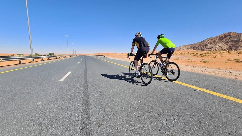
A rolling 166 km road cycling route from Nazwa, Sharjah to Al Aqah through Al Dafain, Al Saaf and Al Aoud, with 999 m of climbing. Most of it (149.8 km) is on main roads without a cycle lane, 74.8 km where the limit is 80 km/h or more. There is a 56 km stretch without a café, shop or water (km 40–96).
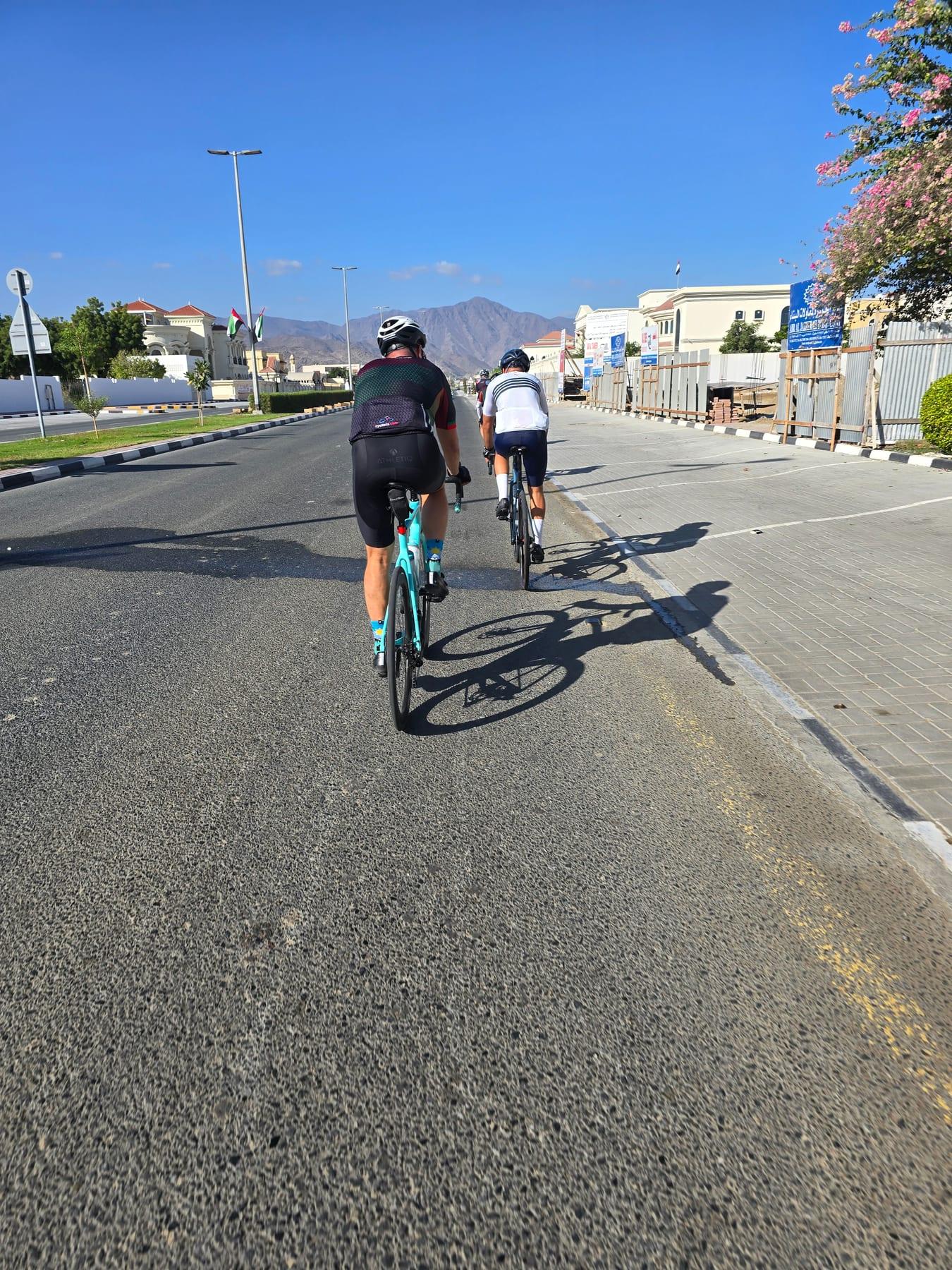
Starting from Nazwa, the route heads through several places including Al Dafain, Musseili, and Munay, passing beneath peaks like Qarn Nazwa at the start and Jabal Al Hinnah around 58 km. The first half features most of the 841 m elevation gain, including climbs from 54.8 km to 58.4 km gaining 99 m at 3.2% average gradient and from 59.9 km to 63.5 km with 104 m at 2.9%. The highest point is at 488 m near 63.7 km, followed by the longest descent of 6.9 km dropping 175 m starting at 64.5 km. Later in the ride, gentler climbs up to 3.7% occur near 81.7 km and 92.2 km.
The route is mostly paved (97%) and runs largely on major roads (36%), main roads (29%), and motorways (26%). These roads have 149.8 km without cycle lanes and include 74.8 km of 80 km/h or faster roads. Named roads include Sharjah - Kalba Road for 42.4 km and others to the finish. Services at the start include supermarkets and restaurants. There is a very long stretch without a café, shop or water of 55.7 km between 39.9 km and 95.6 km, but places for food, fuel and shops become more frequent approaching Al Aqah where restaurants and eateries are present.
| Climb | Starts at | On this ride | Top on this ride |
|---|---|---|---|
| Unnamed climb | 54.8 km | 3.1 km · 99 m · 3.2 % · max 5.1 % | 379 m |
| Unnamed climb | 59.9 km | 3.6 km · 104 m · 2.9 % · max 5.8 % | 483 m |
| Unnamed climb | 81.7 km | 1.9 km · 70 m · 3.7 % · max 14.6 % | 309 m |
| Unnamed climb | 92.2 km | 2.3 km · 54 m · 2.3 % · max 3.3 % | 240 m |
This is not a cycle-track route: 90% is on main roads without a cycle lane, 74.8 km of it where the limit is 80 km/h or more. Riders should be comfortable sharing the road with faster traffic.
The longest stretch without a café, shop or water is 56 km, from km 40 to 96. Along the route: 92 cafés and restaurants, 28 shops, 1 water point, 16 petrol stations, 12 public toilets and 3 bike shops.