Road · United Arab Emirates
A flat 131 km road cycling loop from Nazwa, Sharjah through Al Dafain, Sha'biyyat Bahayis and Filli, with 336 m of climbing. Most of it (120.8 km) is on main roads without a cycle lane, 31.7 km where the limit is 80 km/h or more. There is a 31 km stretch without a café, shop or water (km 98–129).
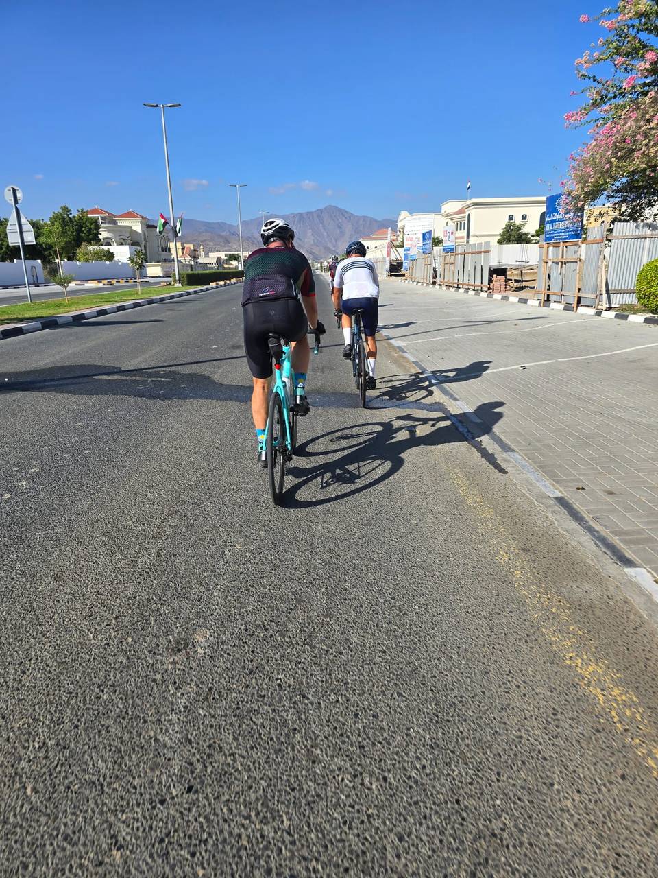
The ride starts and finishes in Nazwa beneath Qarn Nazwa (200 m). Heading south-east it passes through Al Dafain (21.6 km), Sha'biyyat Bahayis (28.8 km), and Filli (39.1 km), riding mostly on paved roads that are 87% main roads and 6% major roads. There is a petrol station at 24 km and shops including Sharjah Coop at 34.1 km and drinking water at 39.6 km. The climb begins at 58.3 km with 1.7 km gaining 40 m averaging 2.4%, reaching the highest point at 308 m (60.1 km), near Jabal Shauka (439 m) and Jabal Sakhbiri (360 m).
| Climb | Starts at | On this ride | Top on this ride |
|---|---|---|---|
| Unnamed climb | 58.3 km | 1.7 km · 40 m · 2.4 % · max 3.6 % | 308 m |
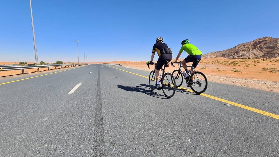
This is not a cycle-track route: 92% is on main roads without a cycle lane, 31.7 km of it where the limit is 80 km/h or more. Riders should be comfortable sharing the road with faster traffic.
The longest stretch without a café, shop or water is 31 km, from km 98 to 129. Along the route: 8 cafés and restaurants, 11 shops, 2 water points, 1 petrol station, 1 public toilet and 1 bike shop.