Road · United Arab Emirates
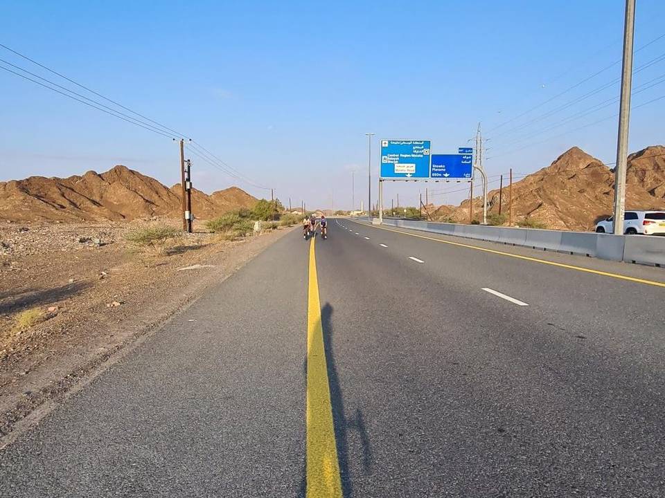
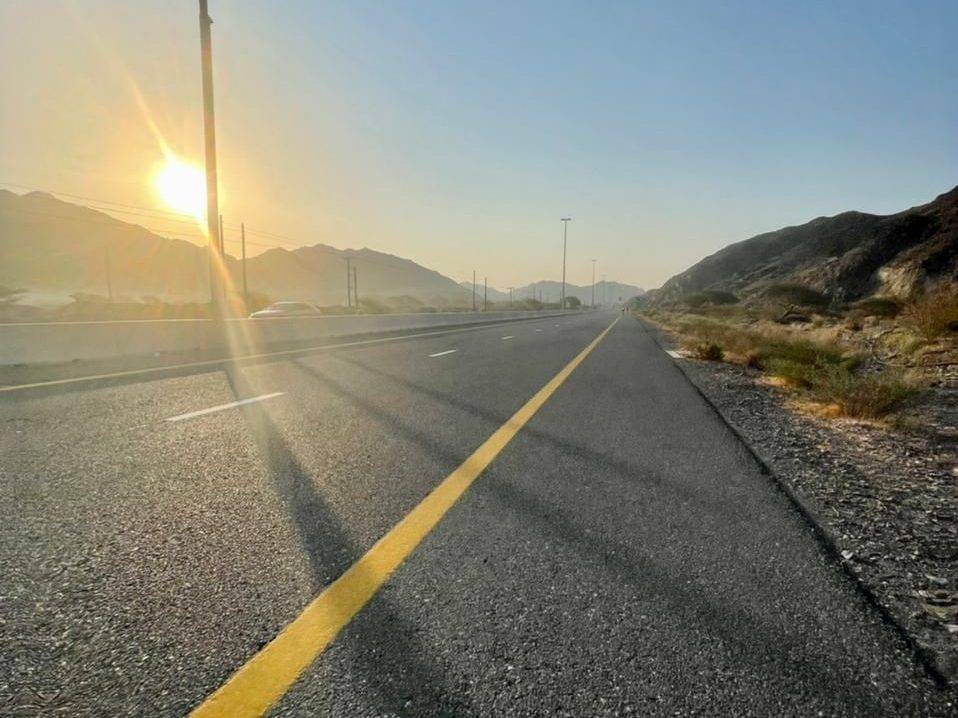
A mountainous 72 km road cycling loop from Kalba, Sharjah through Munay, Harrah and Al Uqdah, with 1,144 m of climbing over Al Fujayrah climb (505 m) and Jabal Al Khasfah. Most of it (64.6 km) is on main roads without a cycle lane, 37.3 km where the limit is 80 km/h or more. The first 39 km has no café, shop or water.
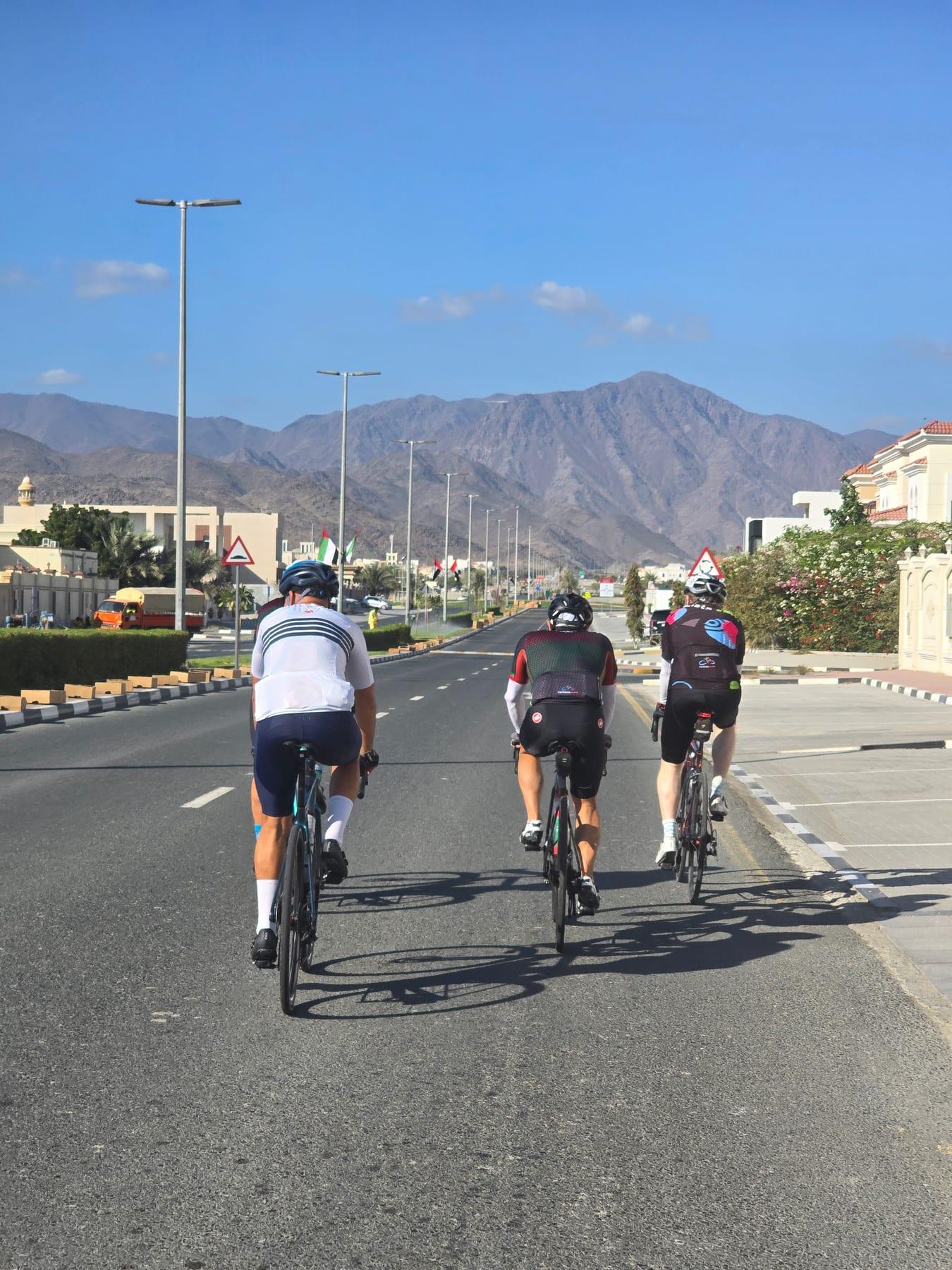
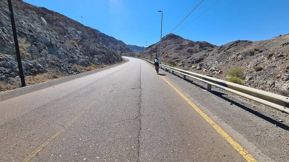
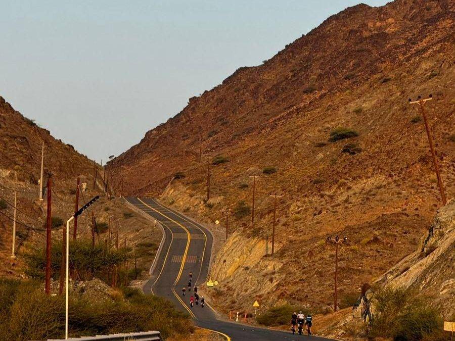
The route starts in Kalba and passes through Munay at 5.2 km, then Fayyad at 14.1 km. Early climbs include a 2 km 2.4% gradient starting at 7 km, followed by two short climbs at 12.1 km and 14.7 km of 3.2% and 2.5% average gradients respectively. The longest and steepest climb begins at 17.1 km, climbing 224 m at an average 7.6% gradient for 3 km, reaching 552 m height around 20 km.
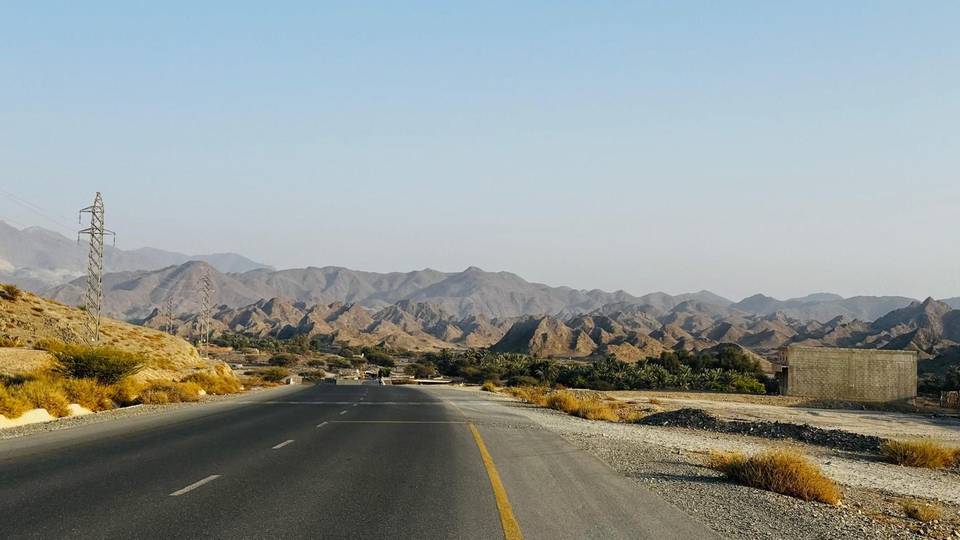
After Al Uqdah at 30.8 km and lengthy descending sections, the route hits flatter ground near 39 km, the lowest point (3 m). Most roads are motorways (57%) and main roads (29%) without cycle lanes, including 39.9 km on Sharjah - Kalba Road. From the start until 38.7 km there is no café, shop or water supply. Café, petrol station and toilets are found just off-route around 40 km near WALFA CAFE and ADNOC petrol station. The route passes beneath peak Jabal Al Miqsha (400 m) near 10 km.
The surface is 95% paved. About 28% of the route is climbing, with 7.7 km over 5% gradient and the steepest 500 m segment reaching 20.6%. The longest descent is 11 km dropping 259 m from 27.1 km. Places along the way include Harrah, Shia, Al Saaf, Al Ghail, Al Maqt'a, Minazif, and Al Qilē'ī before returning to Kalba.
| Climb | Starts at | On this ride | Full ascent | Top on this ride |
|---|---|---|---|---|
| Unnamed climb | 7 km | 2 km · 48 m · 2.4 % · max 3.8 % | — | 305 m |
| Unnamed climb | 12.1 km | 1.4 km · 43 m · 3.2 % · max 5.1 % | — | 275 m |
| Unnamed climb | 14.7 km | 1.9 km · 46 m · 2.5 % · max 5.5 % | — | 321 m |
| Harrah climb | 17.1 km | 3 km · 224 m · 7.6 % · steepest 500 m 9.9 % | 3.1 km · 158 m · 5.1 % | 552 m |
| Al Fujayrah climb (505 m) | 17.1 km | — | 2.7 km · 197 m · 7.2 % | 485 m |
| Jabal Al Khasfah | 42.2 km | 3.9 km · 269 m · 6.9 % · steepest 500 m 10.8 % | 4.2 km · 273 m · 6.4 % | 290 m |
| Unnamed climb | 51.7 km | 1.4 km · 91 m · 6.6 % · max 12.5 % | — | 268 m |
| Unnamed climb | 54.2 km | 1.9 km · 67 m · 3.5 % · max 6.3 % | — | 229 m |
| Unnamed climb | 56.4 km | 1.9 km · 99 m · 5.3 % · max 8.5 % | — | 313 m |
| Unnamed climb | 60.1 km | 1.9 km · 65 m · 3.5 % · max 5.4 % | — | 307 m |
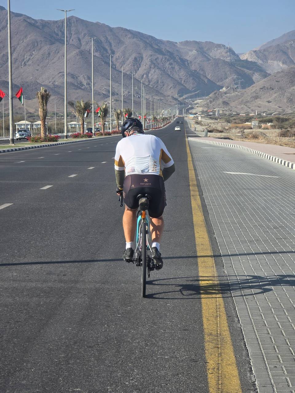
This is not a cycle-track route: 90% is on main roads without a cycle lane, 37.3 km of it where the limit is 80 km/h or more. Riders should be comfortable sharing the road with faster traffic.
The longest stretch without a café, shop or water is 39 km, from the start. Along the route: 7 cafés and restaurants, 1 petrol station and 1 public toilet.