Road · United Arab Emirates
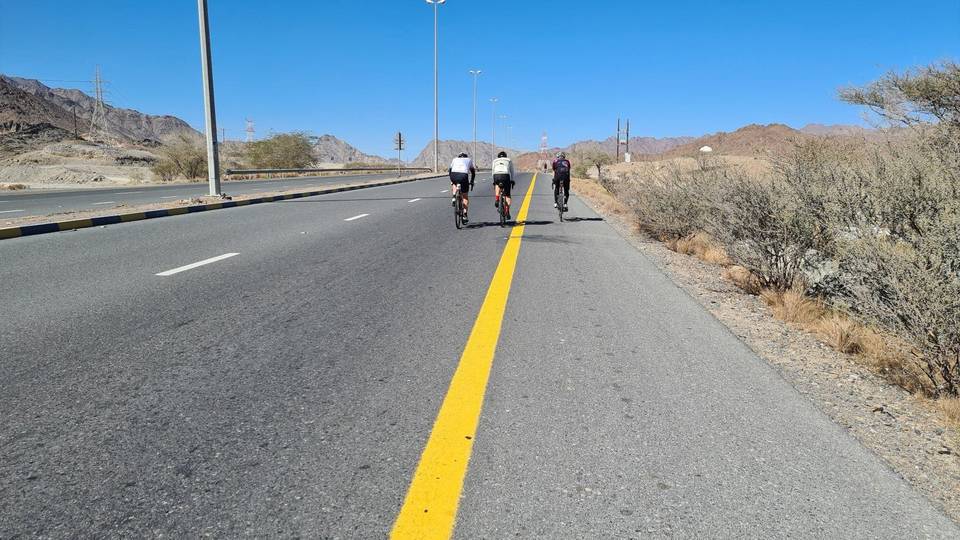
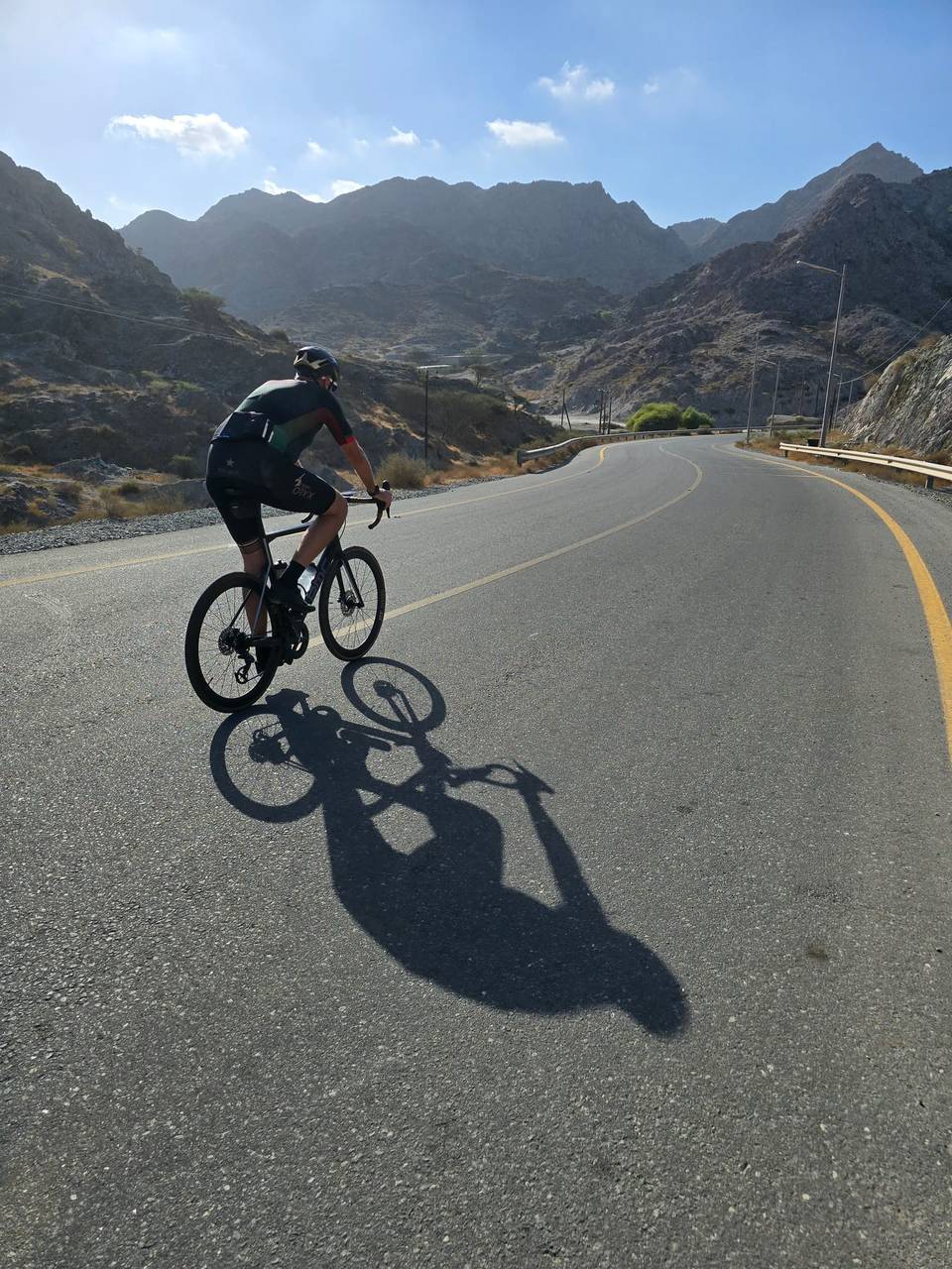
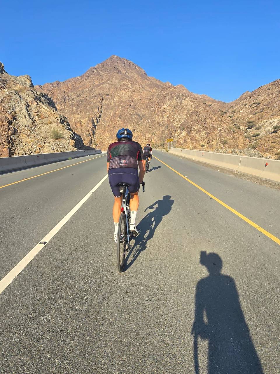
A hilly 106 km road cycling loop from Masafi, Fujairah through Al Rifa'a, Al Qadsia and Al Baha, with 1,259 m of climbing over the Al Burdi climb and Jabal Daftah (603 m). Most of it (95.6 km) is on main roads without a cycle lane, 65.8 km where the limit is 80 km/h or more.
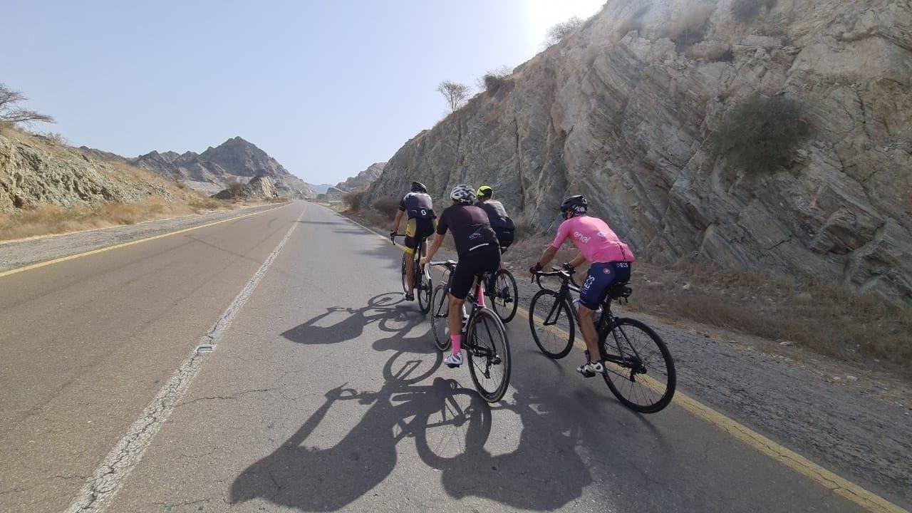
The route starts and finishes in Masafi, passing through many places including Al Rifa'a, Dibba Al Fujairah, and Khor Fakkan. Climbing begins shortly after 2.9 km with a 17.2 km ascent gaining 601 m to 626 m elevation, beneath Jabal Daftah. This is followed by shorter climbs of 4.5 km and 1.4 km with more moderate gradients. The route also features a final brief climb at 88.2 km.
Most of the 106 km ride is on paved roads with 90% on major roads and around 2 km on minor roads or quiet streets. The longest descent of 9.6 km drops 307 m starting near 42.2 km. Main roads lack cycle lanes for 95.6 km and 65.8 km involve roads with speed limits of 80 km/h or more. The Masafi-Dibba Road and Dibba-Khor Fakkan Road are the longest named roads used.
Food and drink are available at the start in Masafi and at scattered points such as cafés near 2.2 km and 68 km, with a 17.7 km stretch from 34.6 km to 52.3 km without cafés, shops or water taps. Toilets and supermarkets are also located near various points on the route including near 1.8 km and 94.9 km. The route passes near peaks including Jabal Daftah and Jabal al Habil.
| Climb | Starts at | On this ride | Full ascent | Top on this ride |
|---|---|---|---|---|
| Al Burdi climb | 2.9 km | 17.2 km · 601 m · 3.5 % | 11 km · 691 m · 6.3 % | 626 m |
| Jabal Daftah (603 m) | 2.9 km | — | 10.7 km · 619 m · 5.8 % | 591 m |
| Unnamed climb | 26.5 km | 4.5 km · 137 m · 3.1 % · max 6.1 % | — | 497 m |
| Unnamed climb | 34 km | 1.4 km · 40 m · 2.9 % · max 6.1 % | — | 518 m |
| Unnamed climb | 88.2 km | 1.2 km · 43 m · 3.6 % | — | 51 m |
This is not a cycle-track route: 90% is on main roads without a cycle lane, 65.8 km of it where the limit is 80 km/h or more. Riders should be comfortable sharing the road with faster traffic.
The longest stretch without a café, shop or water is 18 km, from km 35 to 52. Along the route: 59 cafés and restaurants, 33 shops, 1 water point, 14 petrol stations, 3 public toilets and 1 bike shop.