Road · United Arab Emirates
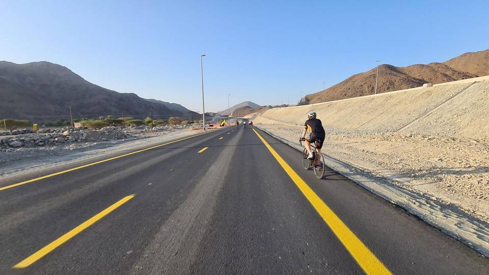
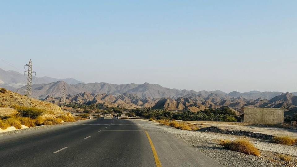
A hilly 122 km road cycling loop from Kalba, Sharjah through Al Qilē'ī, Fayyad and Al ‘Ayn al Ghumūr, with 1,334 m of climbing over the As Simsimānīyah climb. Most of it (88.6 km) is on main roads without a cycle lane, 26.3 km where the limit is 80 km/h or more. There is a 32 km stretch without a café, shop or water (km 33–65).
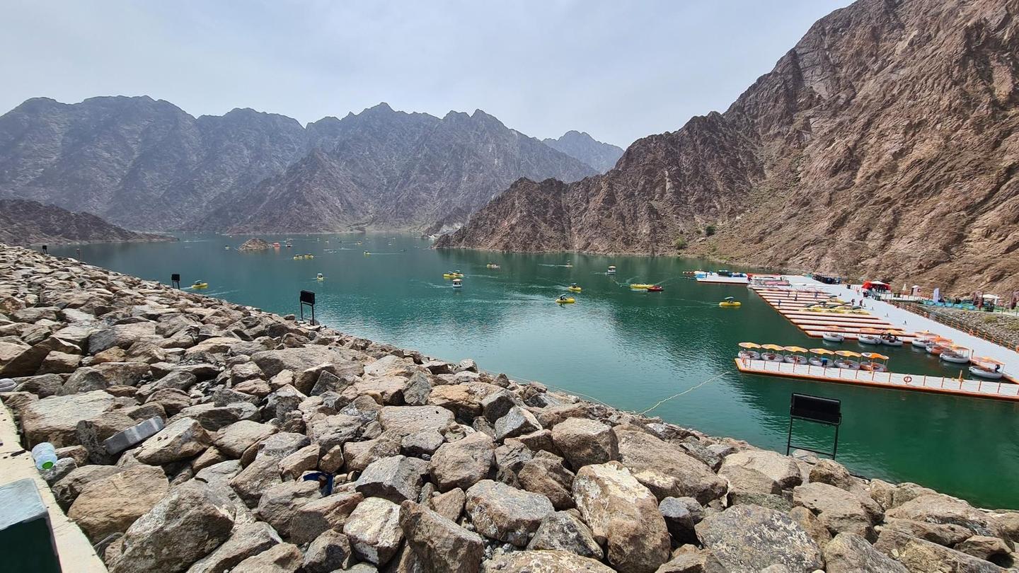
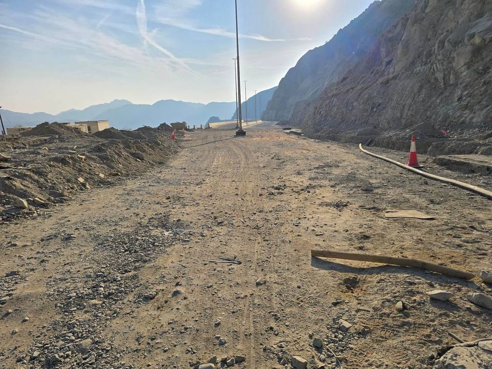
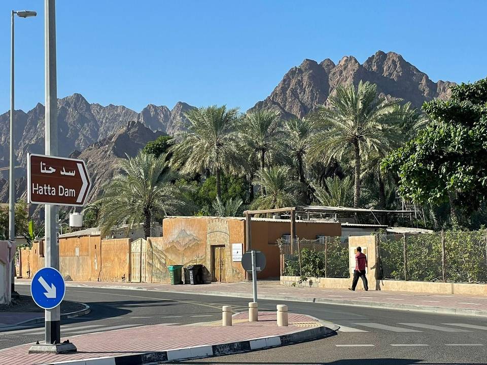
This 121.7 km loop ride begins and ends in Kalba, passing through numerous towns including Al Qilē'ī at 7.6 km and Hatta at 83.1 km. The route features multiple climbs with the most substantial being a 3.1 km section from 12.8 km climbing 159 m at an average gradient of 5.2%, with a maximum gradient of 20.9%. Elevation ranges from 2 m at 31.7 km to a high of 526 m at 16.9 km. The road surface is mostly paved at 93%, with 4% gravel or unpaved and 3% unmapped.
Road types include 44% main roads, 22% motorway, and various minor and quiet streets. Notable roads ridden include 13.8 km on Sharjah - Kalba Road and 10.2 km on Al Watan Road. A significant portion of the route, 88.6 km, is on main roads without cycle lanes, with 26.3 km on fast roads with speed limits of 80 km/h or more. The route has climbing on 26% of the distance, descending on 20%, and flat on 55%. Notable climbs occur between km 3.1 and km 16.9 and again between km 65.6 and 81.5. The longest descent stretches 4.6 km dropping 265 m starting at 25.4 km.
Refuelling and stops are available mainly before km 32.7 and after km 64.8, with a 32.1 km stretch without café, shop, or water from 32.7 to 64.8 km. Food and drink options include cafés and restaurants near 25.4 km and cafés near 76.6 km and 83 km. Shops and petrol stations are positioned near 30.9 km, 64.8 km, and 88.9 km. Toilets can be found around 32.7 km, 76.1 km, and near 83 km. Peaks near the road include Jabal Al Miqsha (400 m) near 6.4 km and Jabal Abu Samasimah (550 m) near 80.7 km.
| Climb | Starts at | On this ride | Full ascent | Top on this ride |
|---|---|---|---|---|
| Unnamed climb | 3.1 km | 1.7 km · 42 m · 2.5 % · max 4.6 % | — | 299 m |
| Unnamed climb | 10.4 km | 2.1 km · 47 m · 2.2 % · max 4.8 % | — | 318 m |
| Unnamed climb | 12.8 km | 3.1 km · 159 m · 5.2 % · steepest 500 m 7.6 % | — | 484 m |
| Unnamed climb | 21.6 km | 2.4 km · 66 m · 2.8 % · max 3.8 % | — | 263 m |
| Unnamed climb | 33.2 km | 2.8 km · 83 m · 3 % · max 7.4 % | — | 95 m |
| As Simsimānīyah climb | 65.6 km | 5.7 km · 182 m · 3.2 % · max 9.7 % | 5.9 km · 189 m · 3.2 % | 402 m |
| Unnamed climb | 77.2 km | 3.5 km · 86 m · 2.5 % · max 6 % | — | 407 m |
| Unnamed climb | 95.4 km | 2.6 km · 74 m · 2.9 % · max 4.2 % | — | 453 m |
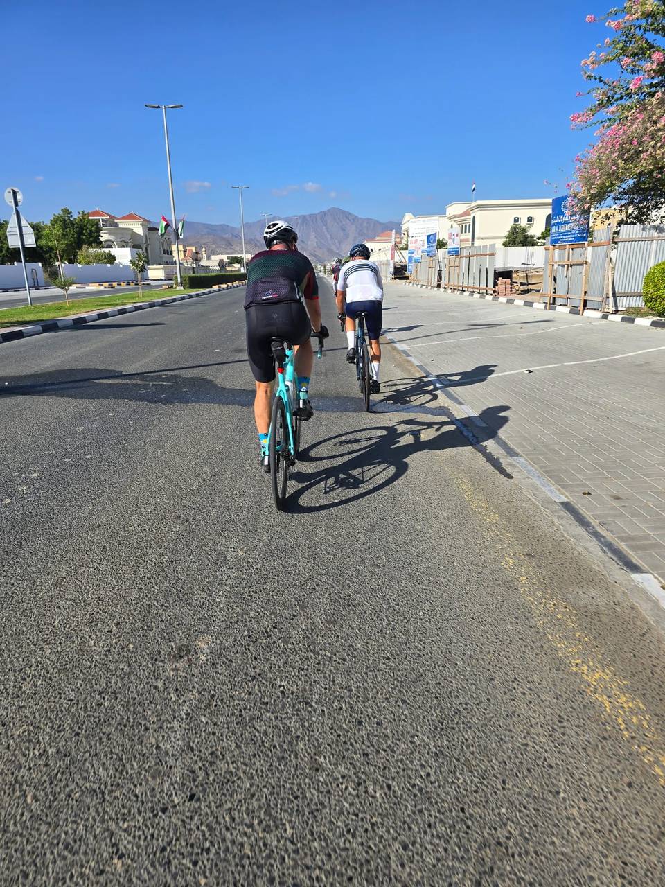
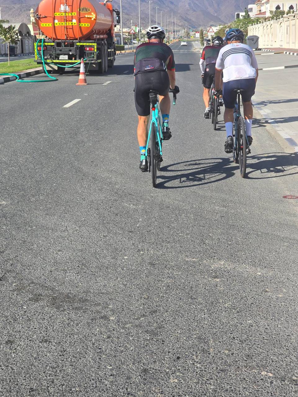
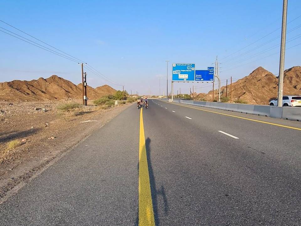
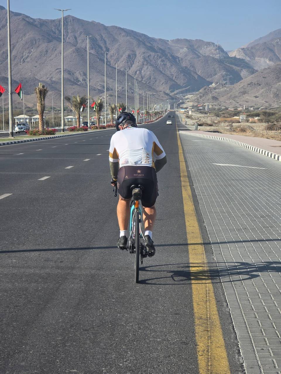
This is not a cycle-track route: 73% is on main roads without a cycle lane, 26.3 km of it where the limit is 80 km/h or more. Riders should be comfortable sharing the road with faster traffic.
The longest stretch without a café, shop or water is 32 km, from km 33 to 65. Along the route: 21 cafés and restaurants, 7 shops, 1 water point, 6 petrol stations and 7 public toilets.