
Cyclists.com

Givry to Villefranche-sur-Saône via Cluny

Givry, Bourgogne, FranceRoad

93 km
Distance
44 m
Elevation gain
Moderate
Difficulty
Paved
Surface

Elevation profile

44 m over 93 km

Route overview

Suits riders of any level looking for a long but almost flat day, with 92.9 km and only 44 m of climbing.

A 92.9 km point-to-point across Bourgogne from Givry to Villefranche-sur-Saône, almost flat with just 44 m of climbing.

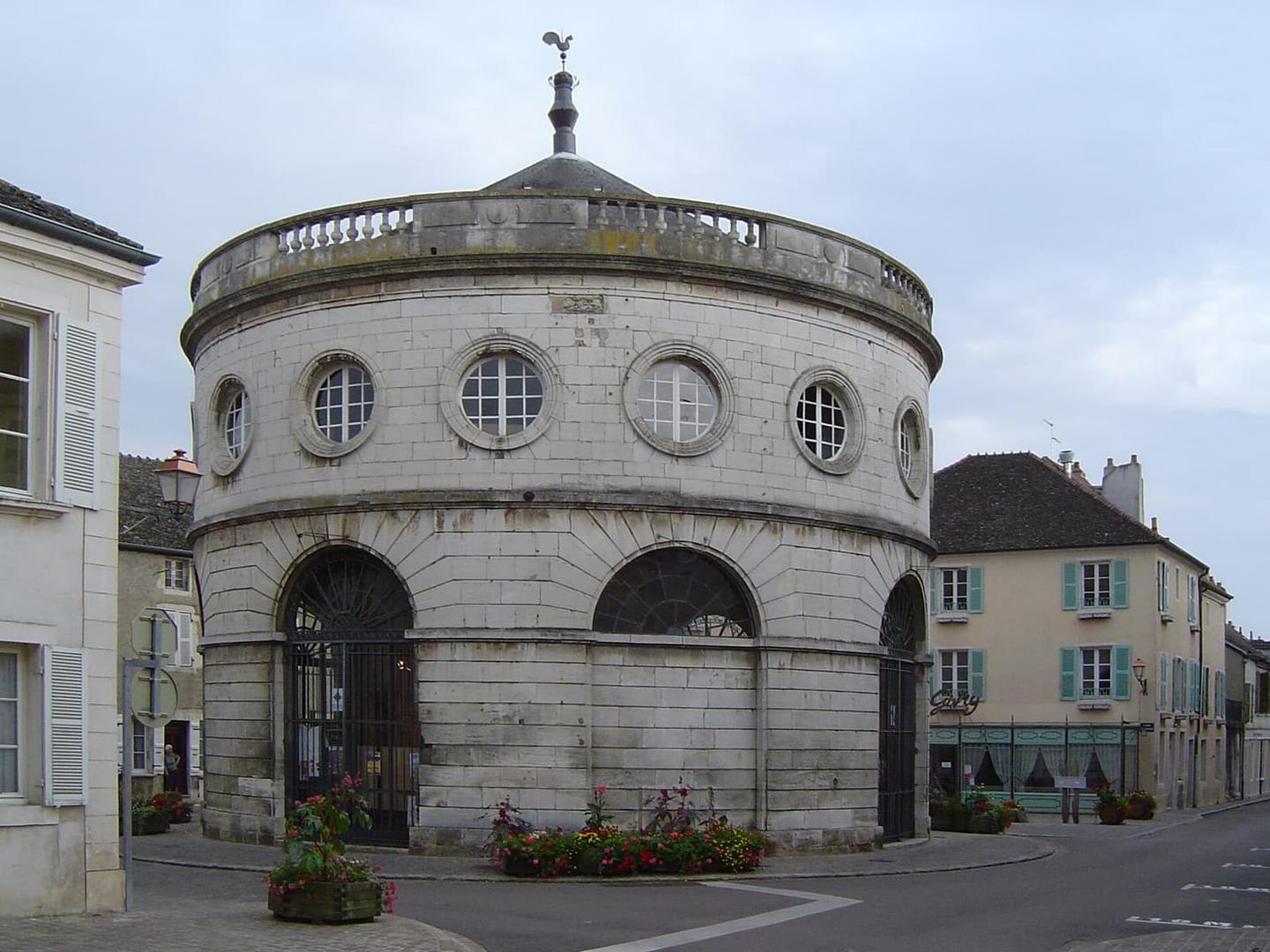
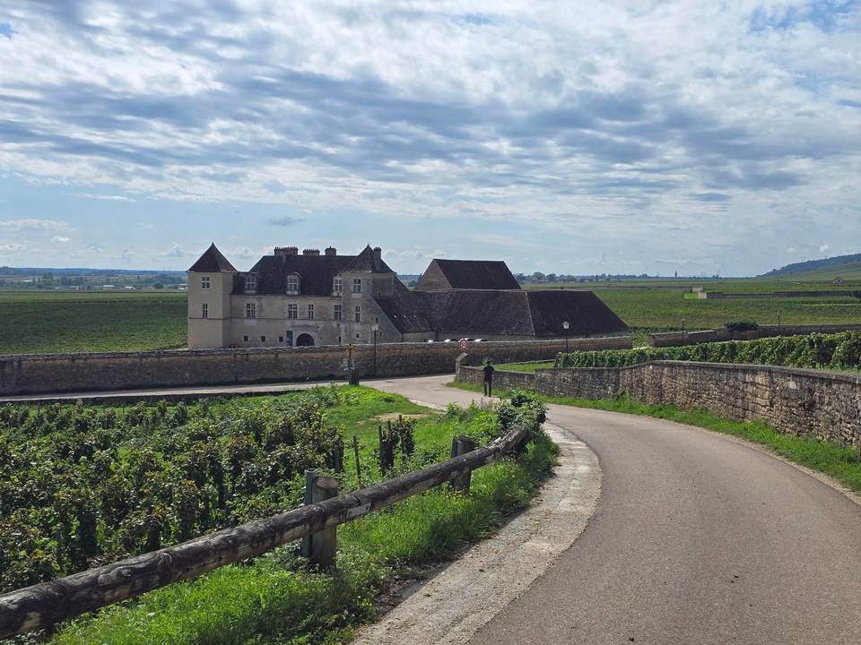
The ride starts in Givry, where cafés and drinking water sit within the first 600 m, and drops to its lowest point of 208 m at km 1.1. From there it runs south through a close-set string of villages and hamlets: Granges and Rosey at km 5.8, Méruge and La Brosse at km 7.8, then Le Cray and Buxy around km 9, where another water point is passed. What little climbing there is comes early — 88% of the 44 m total falls in the first half — and the high point of the route, at a modest 239 m, arrives at km 8.8 just before Buxy. Jully-lès-Buxy follows at km 11.9 with a further water tap, then Saint-Boil and Collonge near km 16, with the peak of Plat Mont off to the side at km 13.8. The long middle section runs without listed villages or services until Saint-Georges-de-Reneins and Port Rivière around km 83. The final stretch threads Boistray, L'Épie and Beauregard before reaching Villefranche-sur-Saône at km 91.4, where restaurants line the road, and finishes past Jassans-Riottier at km 92.9.

Highlights

  • Village-to-village opening through Buxy and Jully-lès-Buxy
  • High point of just 239 m at km 8.8
  • Plat Mont seen from the road near km 13.8
  • Restaurants and cafés at both ends, in Givry and Villefranche

Along the route

Measured from the recorded track and OpenStreetMap.

Places passed

  1. Granges 5.8 km
  2. Rosey 5.8 km
  3. Méruge 7.8 km
  4. La Brosse 7.8 km
  5. Les Raveaux 8.2 km
  6. Le Cray 8.8 km
  7. Buxy 9.3 km
  8. Chenevelles 9.8 km
  9. Jully-lès-Buxy 11.9 km
  10. La Guiche 12.7 km
  11. Les Valottes 14 km
  12. Le Thil 15.4 km
  13. Saint-Boil 16 km
  14. Saules 16.1 km
  15. Collonge 16.8 km
  16. Chaumois 16.9 km
  17. Étiveau 16.9 km
  18. Saint-Georges-de-Reneins 82.5 km
  19. Les Granges 82.5 km
  20. Bel-Air 82.5 km
  21. Beille 82.5 km
  22. La Curatte 82.5 km
  23. Port Rivière 83.4 km
  24. Les Ferrières 83.5 km
  25. Le Guillard 83.6 km
  26. Le Sablon 83.7 km
  27. Les Guenardes 83.9 km
  28. Patural 83.9 km
  29. Les Gouttes 83.9 km
  30. Les Bonnevières 84.3 km
  31. La Lie 84.4 km
  32. Boistray 85 km
  33. Les Serves 87.2 km
  34. Chavanne 87.3 km
  35. Le Mas du Puits 88.7 km
  36. Batailloud 88.8 km
  37. L'Épie 88.9 km
  38. La Garenne 88.9 km
  39. Champ du Garet 89 km
  40. Beauregard 90.2 km
  41. Port de Beauregard 90.2 km
  42. Le Marronnier 90.2 km
  43. La Sablière 90.2 km
  44. La Gravière 90.2 km
  45. La Saladine 90.6 km
  46. Le Creux Guillien 90.7 km

On the road

  • Pizzéria du Rempart (Restaurant) 0 km
  • Café de la Place (Café) 0.4 km
  • Petit Nuage (Café) 0.4 km
  • Water 0.6 km
  • Water 0.6 km
  • Water 9 km
  • Water 11.7 km
  • Station Esso - Ets Nomblot Concession Peugeot (Fuel station) 90.8 km
  • Comptoir 79 (Restaurant) 91 km
  • Le Relais Caladois (Restaurant) 91.1 km
  • Euro D'asie (Restaurant) 91.3 km
  • Wengue Lounge (Restaurant) 91.6 km

Practical information

Surface
Paved
Route shape
Point to point
Riding time
8–11½ hours riding

Know before you go

  • No water or café listed between km 11.7 and km 90.8 — carry supplies
  • Recorded at 23°C in September; little shade information available

Routes are for inspiration. Roads, surfaces and conditions change — check locally and ride within your limits.

9 photographs from the road

Part of