
Mixed · France
Stage 7 of 18 · Rotterdam to Barcelona← Stage 6Stage 8 →
A flat 71 km road cycling route from Dijon, Bourgogne to Givry Through the Côte de Beaune through Fixey, Morey-Saint-Denis and Premeaux, with 179 m of climbing.
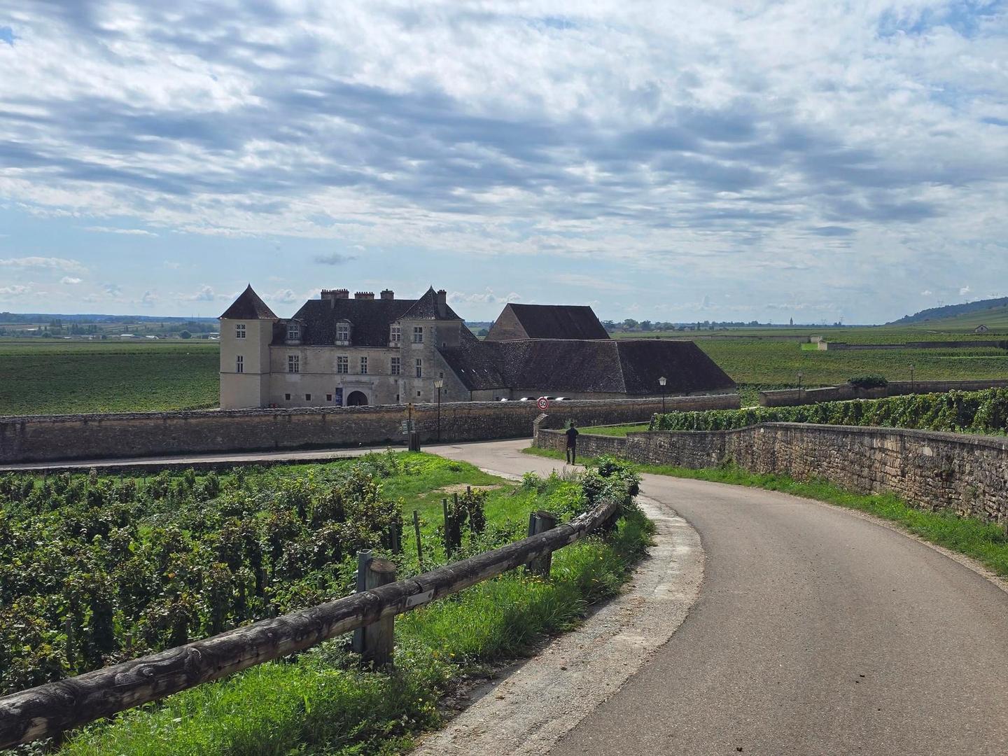
The ride starts around Marsannay-la-Côte and Couchey, heading south through many villages such as Fixin, Brochon, and Gevrey-Chambertin by km 4. The highest point is at 296 m near km 2.6, followed by gentle elevation changes and mostly flat terrain. The profile is 82% flat, with mild climbing 8% and descending 10%. The surface is 91% paved with some gravel or unpaved sections covering 7%. The route uses mostly minor roads (43%) and main roads (28%), along with paths (14%), quiet streets (7%), cycle paths (4%) and tracks (2%). About 19.5 km are on main roads without a cycle lane, and 21.5 km have posted speed limits at 80 km/h or higher.
Along the way, there are multiple places to stop for food and drink, including bakeries and restaurants at Gevrey-Chambertin (4 km), Nuits-Saint-Georges (14.9 km), Ladoix-Serrigny (24.7 km), Beaune (31.6 km), and Givry (69.8 km). Shops, water fountains, and toilets are numerous but the longest stretch without café, shop or water is 7 km between roughly km 47.8 and 54.8. Several bike shops and repair points are available in Beaune and near Givry. Bailout options include stations at Nuits-Saint-Georges, Beaune, and Chalon-sur-Saône. The route finishes near Givry where bakeries, a bike shop, patisserie, and pharmacies are available.
Expect stretches on main roads without a cycle lane (19.5 km in all) between quieter sections.
No stretch is longer than 15 km without a café, shop or water. Along the route: 187 cafés and restaurants, 26 shops, 8 water points, 3 petrol stations, 21 public toilets and 9 bike shops.