
Cyclists.com

Stage 14 of 15 · Munich to Venice via Brenner, Lake Garda and Bologna← Stage 13Stage 15 →

Goro to Piove di Sacco-Piovega

108 km road cycling route13 m climbing4½–6 hoursGPX

Goro, Emilia-Romagna, Italy · Road

A flat 108 km road cycling route from Goro, Emilia-Romagna to Piove di Sacco-Piovega through Gorino Veneto, Ca' Mora and Adria, with 13 m of climbing.
Route contributed by Marcus · Created from a ride on Thursday 1st October 2026

Download GPXMap

At a glance

Best for
Flat, steady riding
Distance
107.6 km
Point to point
Elevation gain
13 m
Riding time
4½–6 hours
moving time, estimated
Difficulty
Moderate
Bike
Road bike with sturdy tyres, or gravel bike
from the mapped surface
Surface
Mostly paved
89% paved · 10% unpaved · 1% no data
Traffic
Mostly minor roads
16.8 km on main roads without a cycle lane · 1.3 km where the limit is 80 km/h or more · 3.8 km on cycle paths or lanes
Food & water
Longest gap 18 km
43 cafés and restaurants · 10 shops · 10 water points · 8 petrol stations · 1 public toilet · 2 bike shops
Navigation
GPX download
free, no sign-in
Start → finish
Goro → Piove di Sacco-Piovega

Map and elevation profile

On the road: Goro to Piove di Sacco-Piovega, Goro

Elevation profile

Total ascent
13 m
Distance
108 km
-20020m0 km255075108 km9 m · highest, at 105.6 kmStartFinish

What it was like to ride

Route description

  1. Goro
  2. Gorino Venetokm 6
  3. Ca' Morakm 16
  4. Adriakm 51
  5. Fasana Polesinekm 65
  6. Bellinakm 72
  7. Boscochiarokm 77
  8. Brenta d'Abbàkm 91
  9. Montagnonkm 98
  10. Piove di Sacco-Piovegakm 108

This route starts near Goro and heads east, passing through Gorino Veneto and Borgo Polesinino before reaching Taglio di Po at 31.9 km. The terrain is flat, with elevation varying between -4 m and 8 m over the whole distance. The road surface is mostly paved (89%), with about 10% gravel or unpaved. The route uses a mix of minor roads (61%), main roads (16.8 km, all without cycle lanes), tracks (10.1 km), quiet streets (7.7 km), cycle paths (3.8 km), and paths (2.3 km).

Highlights

  • Passes through Taglio di Po at 31.9 km
  • Highest point at 8 m near Piove di Sacco
  • Monumento ai Caduti di Gorino Veneto at 5.7 km
  • Longest named roads Via Marina and Via Argine Po

Along the route

Measured from the route line, the Copernicus elevation model and OpenStreetMap.

Places passed

  1. Gorino Veneto 5.7 km
  2. Borgo Polesinino 11.2 km
  3. Oca Marina 12.9 km
  4. Gnocca 12.9 km
  5. Polesinello 14.3 km
  6. Ca' Mora 15.5 km
  7. Presa Pisana 19 km
  8. Taglio di Po 31.9 km
  9. Mazzorno 41.2 km
  10. Piantamelon 49.5 km
  11. Adria 51.2 km
  12. Adriatica 54.6 km
  13. Canton Basso 54.8 km
  14. Baricetta 56.5 km
  15. Case Matte 60 km
  16. Fasana Polesine 64.6 km
  17. Botti Barbarighe 67.3 km
  18. Boscofondi 68.8 km
  19. Lezze 70.3 km
  20. Marice 71 km
  21. Bellina 72.2 km
  22. Cavarzere 73.6 km
  23. San Giuseppe 73.9 km
  24. Villaggio Flavio Busonera 75.1 km
  25. Sant'Antonio 76.5 km
  26. Boscochiaro 76.9 km
  27. Martinelle 76.9 km
  28. Cordenazzetti 84.8 km
  29. Cantarana 86.8 km
  30. Ponte Cantarana 87.9 km
  31. Brenta d'Abbà 91.2 km
  32. Castelcaro 92.7 km
  33. Botti 94.1 km
  34. Codevigo 95.6 km
  35. Vallonga 97.3 km
  36. Montagnon 97.9 km
  37. Ponte Montagnon 98.5 km
  38. Tognana 99.6 km
  39. Quartiere Sant'Anna 102 km
  40. Piove di Sacco 102.2 km

Traffic, surface and gradient

Measured from OpenStreetMap along the track and the elevation profile.

Mostly minor roads and streets on the map; 16.8 km is on main roads without a cycle lane.

Roads
61% minor road · 16% main road · 10% track · 7% quiet street · 6% other roads and tracks
Main roads
16.8 km on main roads without a cycle lane — likely busier
Fast roads
1.3 km on roads with a limit of 80 km/h or more
Cycle paths
3.8 km on cycle paths or roads with a cycle lane
Main roads used
Via Marina (9 km), Via Argine Po (9 km), Via Chieppara (5 km), Strada Regionale di Codigoro (4 km)
Surface
Predominantly paved: 89% is mapped as paved, 10% as unpaved or gravel.
Gradient
0% climbing · 0% descending · 100% flat

Food, water and services

Within a few hundred metres of the track, from OpenStreetMap. Opening hours change — treat this as where to look, not a promise.

The longest stretch without a café, shop or water is 18 km, from km 13 to 31. Along the route: 43 cafés and restaurants, 10 shops, 10 water points, 8 petrol stations, 1 public toilet and 2 bike shops.
Food, water and shops in ride order

  1. 1.2 kmRistorante bar da Primon · restaurant · 70 m off route
  2. 1.4 kmMaga · pharmacy · 230 m off route
  3. 5.7 kmOsteria Arcadia · restaurant · 60 m off route
  4. 12.7 kmFarmacia Salus Di Chiefa Dr.Vincenzo · pharmacy · 60 m off route
  5. 24.7 kmLa Presa · bike rental · 290 m off route
  6. 31.3 kmAlíper · supermarket · 370 m off route
  7. 32 kmPizzeria Al Campanile · fast food · 110 m off route
  8. 46 kmUnione Gas Auto · petrol station · 50 m off route
  9. 51.3 kmRestaurant · 60 m off route
  10. 51.8 kmQ8 · petrol station · 240 m off route
  11. 56.5 kmDrinking water · 70 m off route
  12. 73 kmfamila · supermarket · 110 m off route
  13. 73.7 kmOsteria San Giuseppe · bar · 60 m off route
  14. 91 kmPizzeria Dal Principe · restaurant · on the route
  15. 91 kmWater tap · 100 m off route
  16. 101.2 kmToilets · 120 m off route
  17. 101.8 kmEni · petrol station · 190 m off route
  18. 102.2 kmFarmacia Vidale · pharmacy · 30 m off route

Need to bail out?

  • 57.2 km — Baricetta (halt), 110 m off route
  • 73.9 km — Cavarzere centro (halt), 530 m off route
  • 101.2 km — Piove di Sacco (station), 120 m off route

Whether bikes are carried depends on the service — check before relying on it.

Worth a stop

  • 5.7 km — Monumento ai Caduti di Gorino Veneto (monument)
  • 56.9 km — Monumento ai Caduti di Baricetta (monument)
  • 66.7 km — Ruderi delle Botti Barberighe (attraction)
  • 73.7 km — Colonna Marciana (monument)
  • 79.1 km — Ponte dei Pesi del Canale dei Cuori (attraction)
  • 91.4 km — Monumento ai Caduti (monument)

Stay after this ride

  • Donatella House · guest house · 1.2 km from the finish
  • Florida Inn · hotel · 1.2 km from the finish
  • Point Hotel · hotel · 1.4 km from the finish

Start and access

Starts at Goro. Mapped within a short walk of the start and finish, from OpenStreetMap.

At the start

Food and coffee
Ristorante bar da Primon (830 m)

At the finish

Food and coffee
Ristorante Moby Dick (40 m), Bar Tabacchi Bisacco (260 m), Pasticceria Milanese (730 m)
Pharmacy and medical
Presidio Ospedaliero di Piove di Sacco (150 m), Farmacia Vidale (720 m)

Know before you go

  • Longest stretch without café, shop or water 18.4 km from km 12.9 to 31.3
  • 16.8 km on main roads without cycle lanes
  • 1.3 km on roads with speed limits of 80 km/h or more
  • 10% of route on gravel or unpaved surfaces

Routes are for inspiration. Roads, surfaces and conditions change — check locally and ride within your limits.

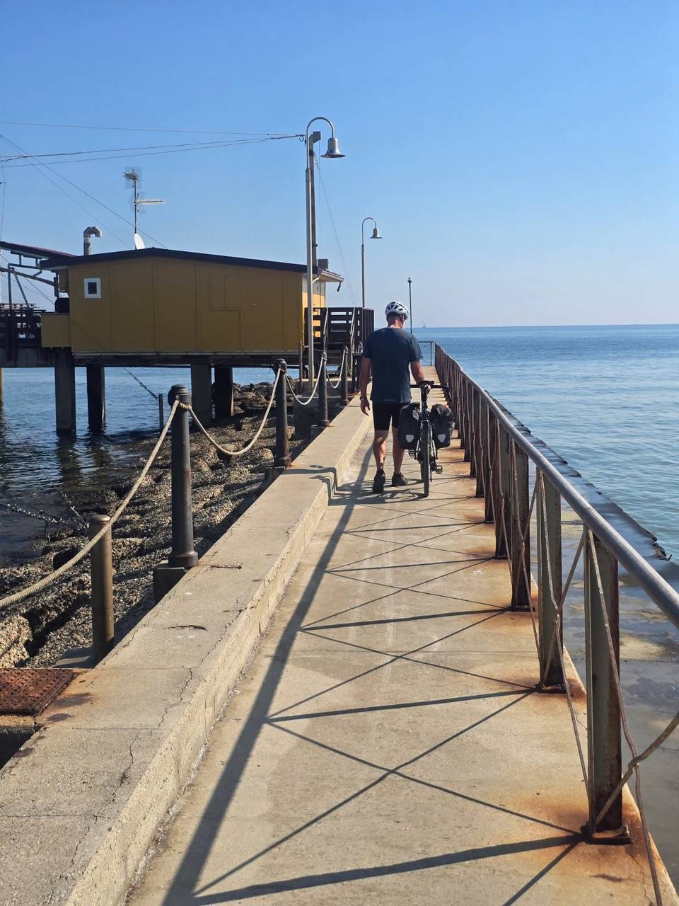
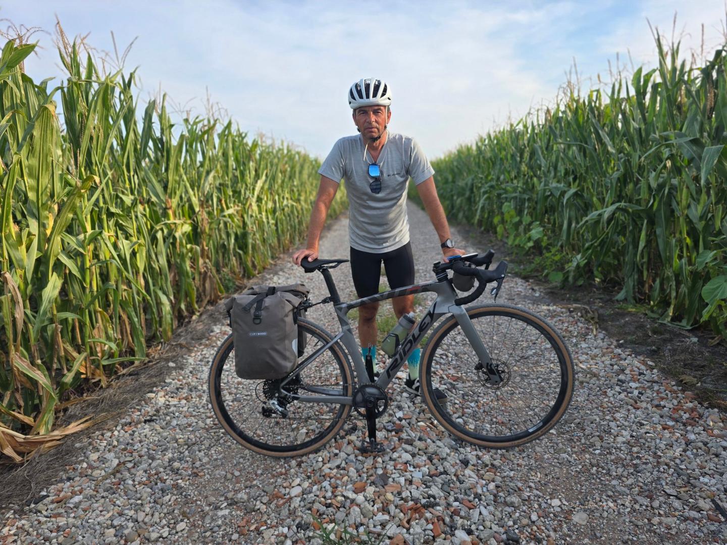
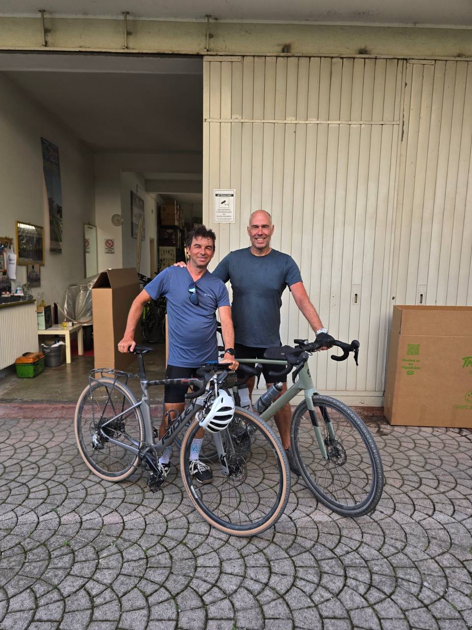
13 photographs from the road

Stage of

About this route

Ridden by
Marcus
Date ridden
Route line
Built from a GPS recording of the ride.
Elevation
Recalculated from the Copernicus GLO-90 terrain model every 50 m, not the device’s barometer.
Roads, surface, services
Measured along the line from OpenStreetMap extracts.
GPX
Generated from the route line: track points only, no timestamps or personal data.
Page added
Page last updated

See something wrong with this ride?

Rides starting nearby